Hazel Copse

Wood, Forest in Surrey Waverley

England

Hazel Copse

The Pirrie Hall
The Pirrie Hall Credit: Alex McGregor

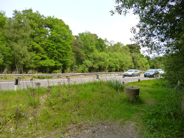
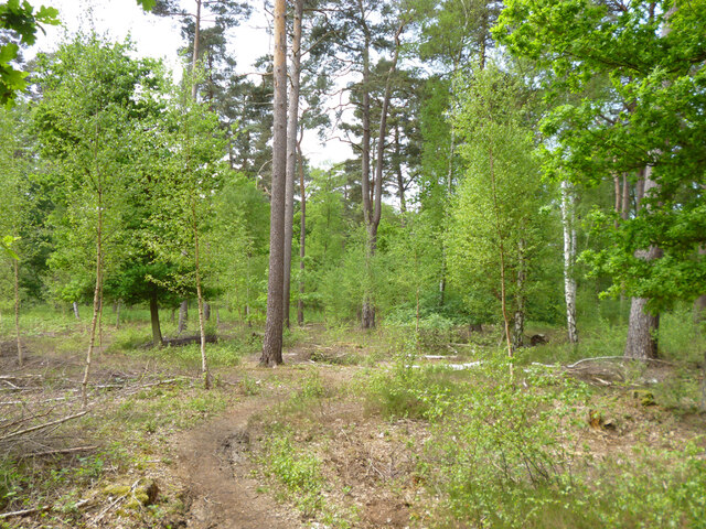
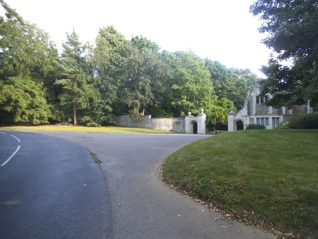
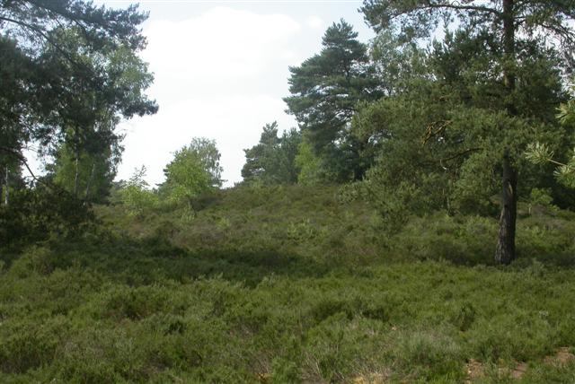
Hazel Copse is a picturesque woodland area located in Surrey, England. This enchanting forest is known for its abundance of hazel trees, which give the copse its name. Stretching over a vast area, Hazel Copse is a popular destination for nature lovers and outdoor enthusiasts.

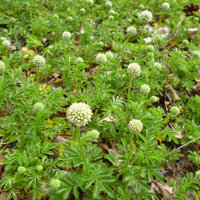
The woodland is characterized by its dense foliage and towering trees, creating a serene and tranquil atmosphere. The hazel trees, with their distinctive leaves and catkins, dominate the landscape, providing a habitat for a variety of wildlife. The copse is home to numerous bird species, including woodpeckers, owls, and finches, making it a haven for birdwatchers.

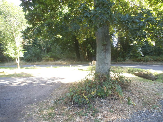
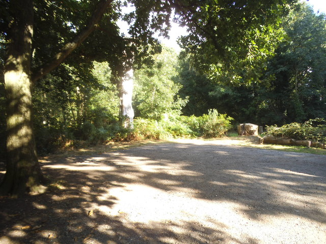
Walking through Hazel Copse, visitors can enjoy the beauty of nature at its finest. The forest floor is covered in a thick carpet of moss and ferns, creating a lush and vibrant undergrowth. Sunlight filters through the canopy, casting dappled shadows on the forest floor, adding to the ethereal ambience.

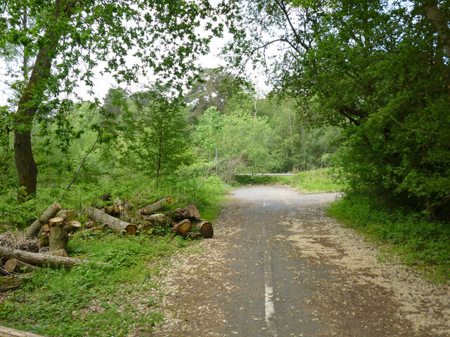
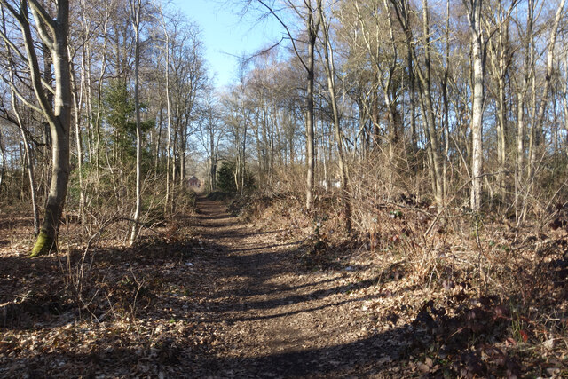
Hazel Copse offers several well-marked walking trails, allowing visitors to explore the woodland at their own pace. These trails wind through the forest, leading to hidden clearings and peaceful glades. Along the way, visitors may come across babbling brooks and small streams, adding to the charm of the woodland.

For those seeking a peaceful retreat in nature, Hazel Copse is the perfect destination. Whether it's a leisurely stroll, birdwatching, or simply immersing oneself in the beauty of the natural world, this enchanting woodland provides an unforgettable experience.

If you have any feedback on the listing, please let us know in the comments section below.

Hazel Copse Images

Images are sourced within 2km of 51.147184/-0.65555206 or Grid Reference SU9439. Thanks to Geograph Open Source API. All images are credited.

The Pirrie Hall
The Pirrie Hall
The Eagle Statue, Brook Lodge
At last!!! Taken at the junction of Roke Lane and Sunnydown as it rains for the first time in MONTHS
At last!!!
Taken at the junction of Roke Lane and Sunnydown as it rains for the first time in MONTHS
The Star pub, Wheeler Street On the corner of Wheeler Lane and Petworth Road (A283).
The Star pub, Wheeler Street
On the corner of Wheeler Lane and Petworth Road (A283).
Pirri-pirri bur, Acaena novae-zelandiae An alien from New Zealand. The bur stage comes later as the seeds form.  It has clover-like flower heads, but the tiny flowers are not clover-like, nor are the leaves. I have only seen this in similar Surrey locations e.g. <a href="https://www.geograph.org.uk/photo/4971923">SU9167 : Plant in Swinley Forest</a>, although it apparently crops up quite widely.
Pirri-pirri bur, Acaena novae-zelandiae
An alien from New Zealand. The bur stage comes later as the seeds form. It has clover-like flower heads, but the tiny flowers are not clover-like, nor are the leaves. I have only seen this in similar Surrey locations e.g. SU9167 : Plant in Swinley Forest, although it apparently crops up quite widely.
Former Webb Road No longer a road connecting with the A3 beyond, now a bridleway.
Former Webb Road
No longer a road connecting with the A3 beyond, now a bridleway.
End of bridleway 593 and A3 crossing point, Witley Common Bridleway 593 was formerly Webb Road. There is a hazardous crossing point here of the busy dual carriageway to a path parallel with the A3 on the other side.
End of bridleway 593 and A3 crossing point, Witley Common
Bridleway 593 was formerly Webb Road. There is a hazardous crossing point here of the busy dual carriageway to a path parallel with the A3 on the other side.
Witley Common A largely wooded public access common.
Witley Common
A largely wooded public access common.
A3 approaching pedestrian crossing point This is all the protection pedestrians get at the crossing point seen in <a href="https://www.geograph.org.uk/photo/7267969">SU9341 : End of bridleway 593 and A3 crossing point, Witley Common</a>.
A3 approaching pedestrian crossing point
This is all the protection pedestrians get at the crossing point seen in SU9341 : End of bridleway 593 and A3 crossing point, Witley Common.
Pond on The Pleck Shown on the map as access land, The Pleck is a tiny remnant of old woodland with a small pond in one corner.
Pond on The Pleck
Shown on the map as access land, The Pleck is a tiny remnant of old woodland with a small pond in one corner.
Path through The Pleck Shown on the map as access land, The Pleck is a tiny remnant of old woodland. The path through it cuts the corner from Rake Lane to Petworth Road.
Path through The Pleck
Shown on the map as access land, The Pleck is a tiny remnant of old woodland. The path through it cuts the corner from Rake Lane to Petworth Road.
The entrance to Witley Park on Lea Coach Road
Noticeboard on Witley Common
The car park in Witley Common
Witley Common
Witley Common
The car park in Witley Common
Show me another place!

Hazel Copse is located at Grid Ref: SU9439 (Lat: 51.147184, Lng: -0.65555206)

Administrative County: Surrey

District: Waverley

Police Authority: Surrey

What 3 Words

///swooned.crunch.kingpin. Near Witley, Surrey

Related Wikis

Witley

Witley is a village and civil parish in the Borough of Waverley in Surrey, England centred 2.6 miles (4 km) south west of the town of Godalming and 6.6...

King Edward's School, Witley

King Edward's Witley is a private co-educational boarding and day school, founded in 1553 by King Edward VI and Nicholas Ridley, Bishop of London and Westminster...

Wormley, Surrey

Wormley is a village in Surrey, England in the parish of Witley, around Witley station, off the A283 Petworth Road about 5 km (3.1 mi) SSW of Godalming...
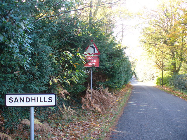
Sandhills, Surrey

Sandhills is a small hamlet located between the villages of Wormley and Brook in Surrey, UK. It is part of the Surrey Hills Area of Outstanding Beauty...

Witley Camp

Witley Military Camp, often simplified to Camp Witley, was a temporary army camp set up on Witley Common, Surrey, England during both the First and Second...

Witley Common

Witley Common is an area of woodland and heath, close to Witley, Surrey, in the United Kingdom. It is part of a much larger Site of Special Scientific...

Witley railway station

Witley railway station is a station on the Portsmouth Direct Line in Surrey, England. It is 38 miles 36 chains (61.9 km) down the line from London Waterloo...

Witley Park

Witley Park, formerly known as Lea Park, is an estate dating from the 19th-century between Godalming and Haslemere, Surrey, England. Its landscaped grounds...

Nearby Amenities

Located within 500m of 51.147184,-0.65555206
Parking
Lat/Long: 51.1476809/-0.6497509
Post Box
Operator: Royal Mail
Operator Wikidata: Q638098
Post Box Type: lamp
Ref: GU8 104D
Royal Cypher: EIIR
Royal Cypher Wikidata: Q33102113
Lat/Long: 51.1477615/-0.6493346
The data included in this document is from www.openstreetmap.org. The data is made available under ODbL.

Have you been to Hazel Copse?

Leave your review of Hazel Copse below (or comments, questions and feedback).