Cockle Spinney

Wood, Forest in Bedfordshire

England

Cockle Spinney

Former Poddington airfield: aerial Ex-WW2 military airfield, now home to the Santa Pod Dragstrip.
Former Poddington airfield: aerial Credit: Chris

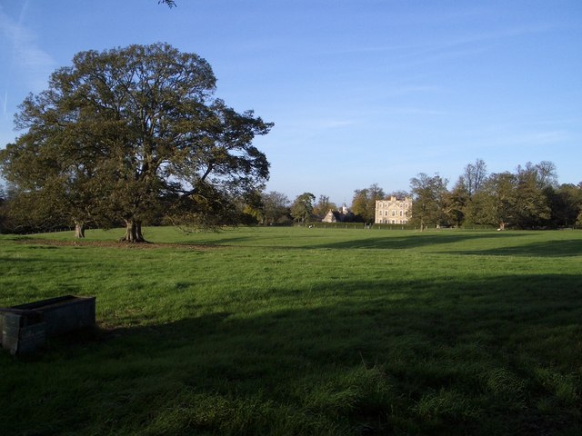
Cockle Spinney is a picturesque woodland located in the county of Bedfordshire, England. Covering an area of approximately 100 acres, it is a charming and tranquil retreat for nature enthusiasts and outdoor lovers. The spinney is nestled within the village of Cockle, which is known for its idyllic countryside surroundings.

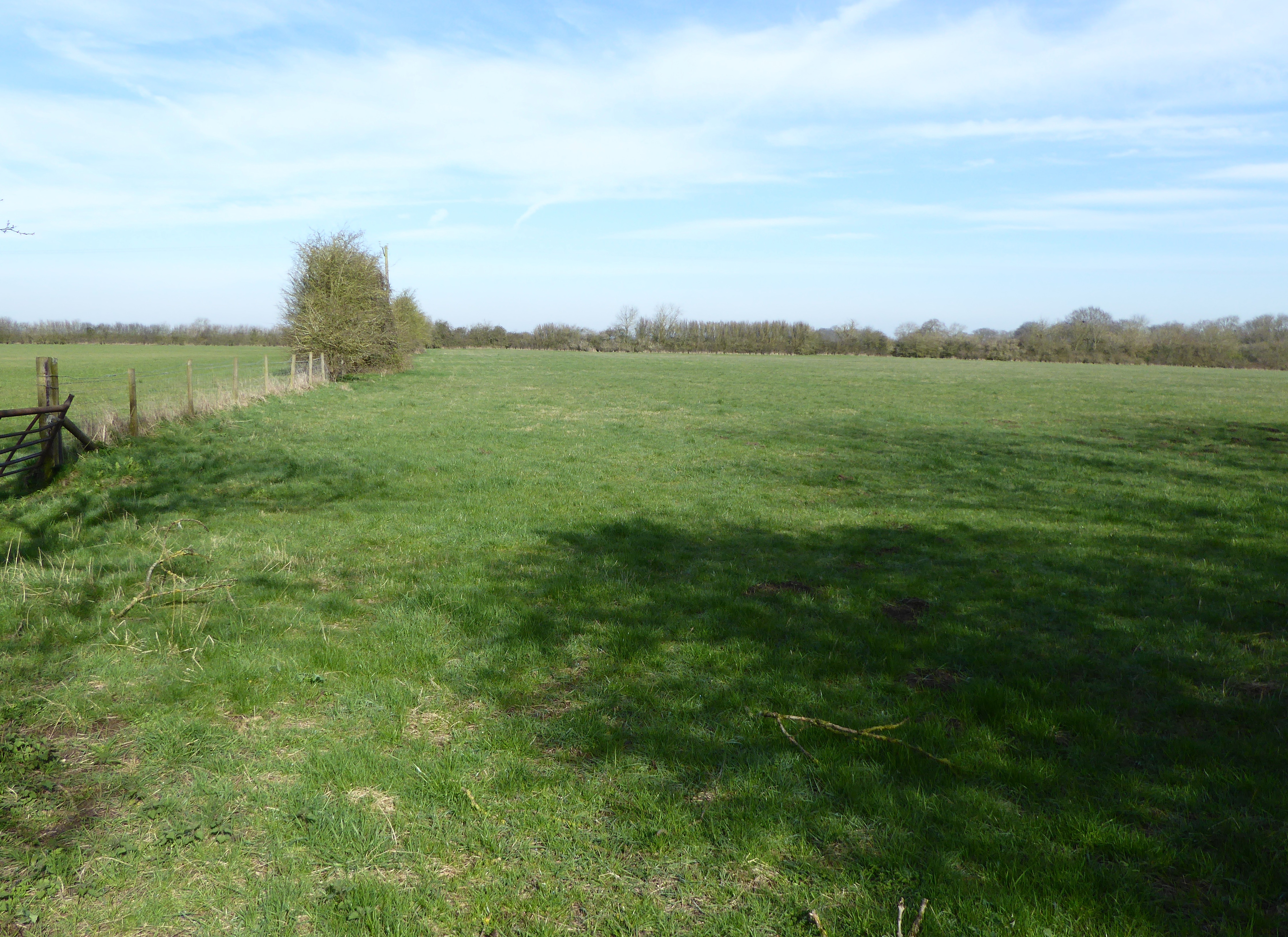
The woodland is primarily composed of deciduous trees, including oak, beech, and birch, creating a rich and diverse habitat for a variety of flora and fauna. The forest floor is adorned with an array of wildflowers, such as bluebells and primroses, which add a burst of color to the landscape during the spring season.

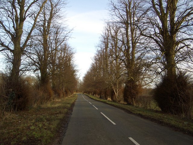
Cockle Spinney boasts several well-maintained walking trails that allow visitors to explore its natural beauty. These trails wind through the woods, offering glimpses of the local wildlife, including squirrels, rabbits, and a variety of bird species. Additionally, there are several picnic areas dotted throughout the woodland, providing the perfect spot for visitors to enjoy a leisurely lunch amidst the serene surroundings.

The spinney is a popular destination for families, walkers, and nature enthusiasts alike, who flock to this hidden gem to immerse themselves in the calming ambiance of the forest. It also serves as an educational resource, with local schools often visiting to learn about the diverse ecosystem and the importance of conservation.

Overall, Cockle Spinney in Bedfordshire is a delightful woodland retreat, offering a peaceful escape from the hustle and bustle of daily life, and a chance to connect with nature in a truly enchanting setting.

If you have any feedback on the listing, please let us know in the comments section below.

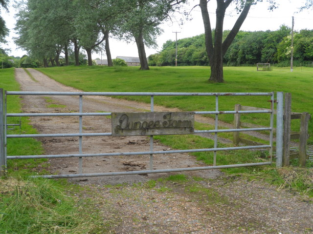
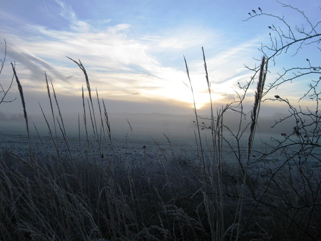
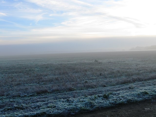
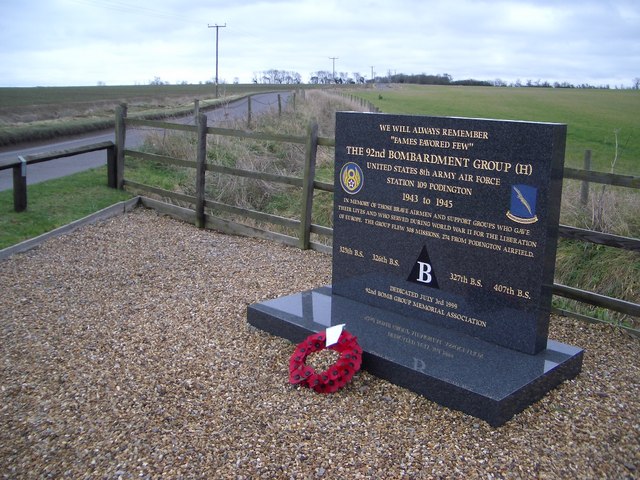
Cockle Spinney Images

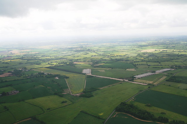
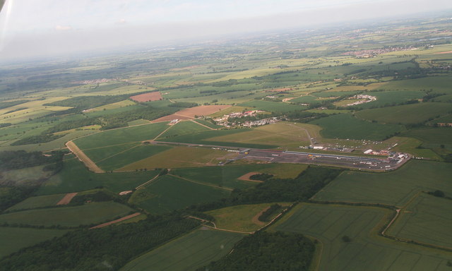
Images are sourced within 2km of 52.232262/-0.62351585 or Grid Reference SP9460. Thanks to Geograph Open Source API. All images are credited.

Former Poddington airfield: aerial Ex-WW2 military airfield, now home to the Santa Pod Dragstrip.
Former Poddington airfield: aerial
Ex-WW2 military airfield, now home to the Santa Pod Dragstrip.
Tower House
Tower House
Entrance to Santa Pod Raceway
Santa Pod Raceway: aerial 2014 Drag racing circuit. See: <span class="nowrap"><a title="http://www.santapod.co.uk/" rel="nofollow ugc noopener" href="http://www.santapod.co.uk/">Link</a><img style="margin-left:2px;" alt="External link" title="External link - shift click to open in new window" src="https://s1.geograph.org.uk/img/external.png" width="10" height="10"/></span>
Santa Pod Raceway: aerial 2014
Drag racing circuit. See: LinkExternal link
Track to Dungee Farm
Dungee Barn
Dungee Barn
Frosty fields
Frosty fields
Frosty field
Frosty field
Hinwick House and Parkland This view of Hinwick House shows the south front viewed across its parkland from the hamlet of Hinwick. The House is Grade I listed and was built 1708-1714, with later additions, for Richard Orlebar.
Hinwick House and Parkland
This view of Hinwick House shows the south front viewed across its parkland from the hamlet of Hinwick. The House is Grade I listed and was built 1708-1714, with later additions, for Richard Orlebar.
US Air Force War Memorial, Airfield Road, Podington Podington airfield was originally built to accommodate two RAF bomber squadrons but was handed over to the US 8th Army Air Force in 1942. The 92nd Bomb Group arrived in September 1943 and the memorial tells the rest of the story. The airfield was sold off in 1961 and is now better known for its Santa Pod raceway. This memorial is located beside the Airfield Road which accesses the latter and led to the former airfield.
US Air Force War Memorial, Airfield Road, Podington
Podington airfield was originally built to accommodate two RAF bomber squadrons but was handed over to the US 8th Army Air Force in 1942. The 92nd Bomb Group arrived in September 1943 and the memorial tells the rest of the story. The airfield was sold off in 1961 and is now better known for its Santa Pod raceway. This memorial is located beside the Airfield Road which accesses the latter and led to the former airfield.
Tree Avenue on Dungee to Hinwick Road Looking northwestwards, this fine avenue of trees extends for over 1km along the road that leads from Dungee Corner near Bozeat to the hamlet of Hinwick. The planting may originally have been associated with nearby Hinwick House.
Tree Avenue on Dungee to Hinwick Road
Looking northwestwards, this fine avenue of trees extends for over 1km along the road that leads from Dungee Corner near Bozeat to the hamlet of Hinwick. The planting may originally have been associated with nearby Hinwick House.
Agricultural machinery on the former Podington Airfield
Agricultural machinery
on the former Podington Airfield
The Three Shires Way leaves Podington Airfield Forty Acre Wood is seen in the background.
The Three Shires Way leaves Podington Airfield
Forty Acre Wood is seen in the background.
Car breaker's yard on Podington airfield
Tower House, Podington airfield The former control tower is now a dwelling.
Tower House, Podington airfield
The former control tower is now a dwelling.
Car parking lot, Santa Pod dragstrip The Three Shires Way crosses the car park running north-east up to the white buildings in the background. The white buildings are part of the Santa Pod dragstrip, which uses the former runway.
Car parking lot, Santa Pod dragstrip
The Three Shires Way crosses the car park running north-east up to the white buildings in the background. The white buildings are part of the Santa Pod dragstrip, which uses the former runway.
Roman Road to Irchester now a byway. The Blackthorn is still in flower.
Roman Road to Irchester
now a byway. The Blackthorn is still in flower.
Roman Road to Irchester The road is now a byway. Blackthorn blossom can be seen.
Roman Road to Irchester
The road is now a byway. Blackthorn blossom can be seen.
Show me another place!

Cockle Spinney is located at Grid Ref: SP9460 (Lat: 52.232262, Lng: -0.62351585)

Unitary Authority: Bedford

Police Authority: Bedfordshire

What 3 Words

///entitles.shells.alert. Near Podington, Bedfordshire

Related Wikis

Dungee Corner Meadow

Dungee Corner Meadow is a 5.1-hectare (13-acre) biological Site of Special Scientific Interest east of Bozeat in Northamptonshire.This well drained hay...

Hinwick

Hinwick ( HIN-ik) is a hamlet in northwest Bedfordshire, England, United Kingdom; it is around nine miles north west of Bedford and is about 1 km (0.62...
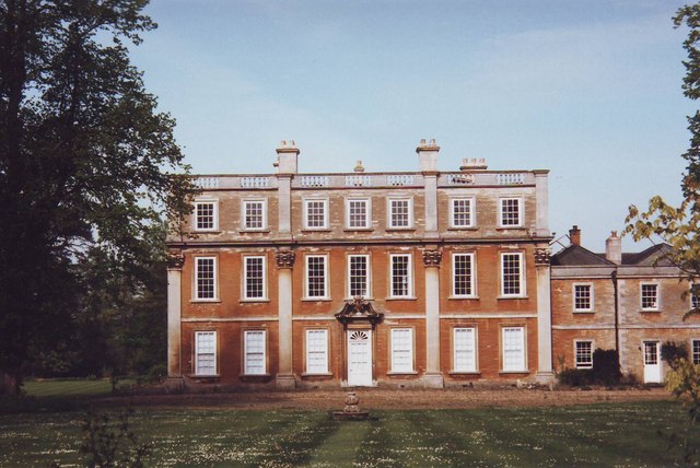
Hinwick House

Hinwick House is a Grade I-listed Queen Anne country house located about 90 minutes from Central London, near Podington in North Bedfordshire. The estate...

Santa Pod Raceway

Santa Pod Raceway is Europe's first permanent drag racing venue for 1⁄4 mile (1,320 ft; 402 m) and 1⁄8 mile (660 ft; 201 m) racing. Located in Podington...

Have you been to Cockle Spinney?

Leave your review of Cockle Spinney below (or comments, questions and feedback).