Fifteen Acre Plantation

Wood, Forest in Lincolnshire South Kesteven

England

Fifteen Acre Plantation

Heath Lane The belt of trees on the horizon, Minnets Wood, sits on the top of the escarpment overlooking the Witham valley
Heath Lane Credit: Tim Heaton

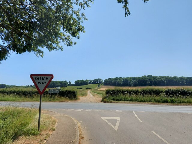
Fifteen Acre Plantation is a picturesque woodland area located in Lincolnshire, England. Covering approximately fifteen acres of land, this plantation is known for its lush greenery and diverse range of trees and plants.

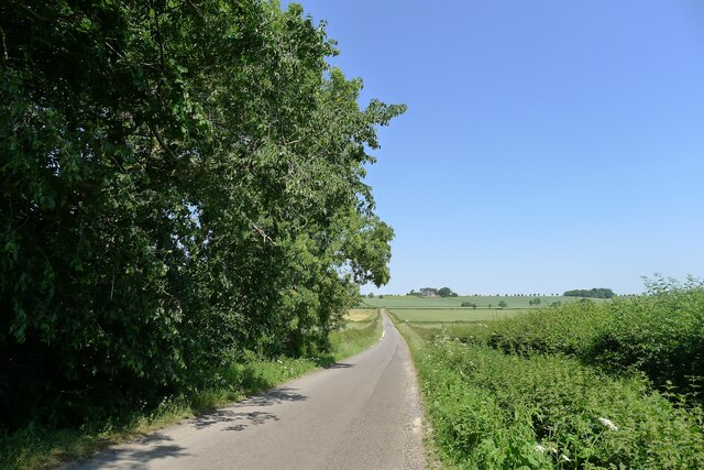
Situated in a rural setting, Fifteen Acre Plantation offers a peaceful retreat for nature enthusiasts and those seeking a break from the hustle and bustle of city life. The woodland is home to a variety of tree species including oak, beech, and birch, creating a rich and vibrant ecosystem. As visitors explore the area, they can also discover an array of wildflowers and ferns that thrive in the damp and shaded conditions.

Fifteen Acre Plantation is a haven for wildlife, attracting a wide range of species throughout the year. Birdwatchers can spot common woodland birds such as robins, blackbirds, and great tits, as well as rarer species like woodpeckers and owls. Squirrels can be seen darting through the treetops, and if lucky, visitors may even catch a glimpse of a deer or fox wandering through the undergrowth.

The plantation offers various walking trails, allowing visitors to immerse themselves in the natural surroundings and enjoy the tranquility it offers. The well-maintained paths wind through the woodland, providing an opportunity to take in the beautiful scenery and listen to the sounds of nature.

Overall, Fifteen Acre Plantation is a charming woodland area in Lincolnshire, offering visitors a chance to reconnect with nature and experience the beauty of the English countryside.

If you have any feedback on the listing, please let us know in the comments section below.

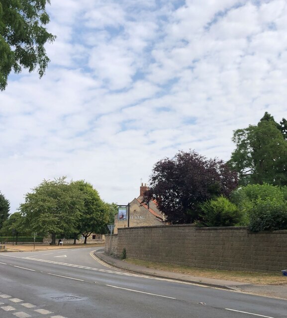
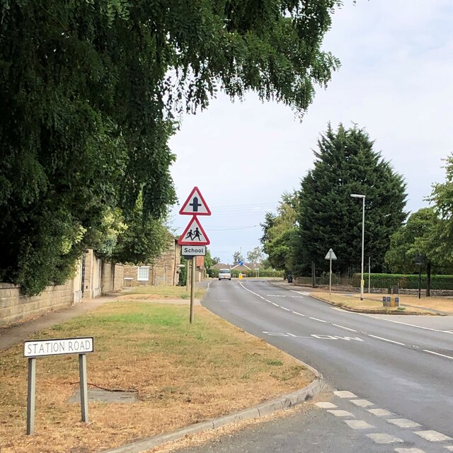
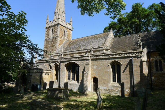
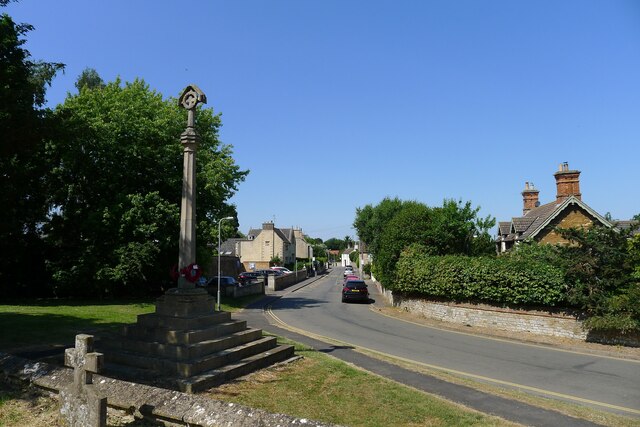
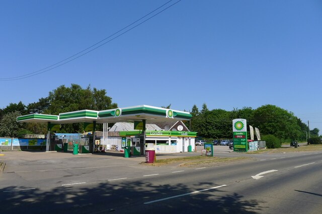
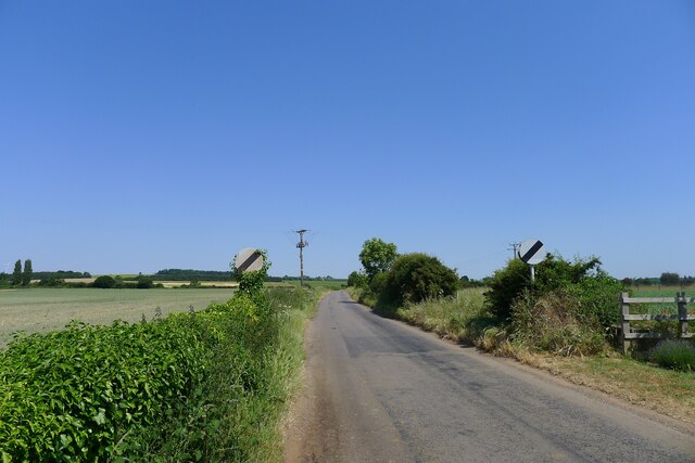
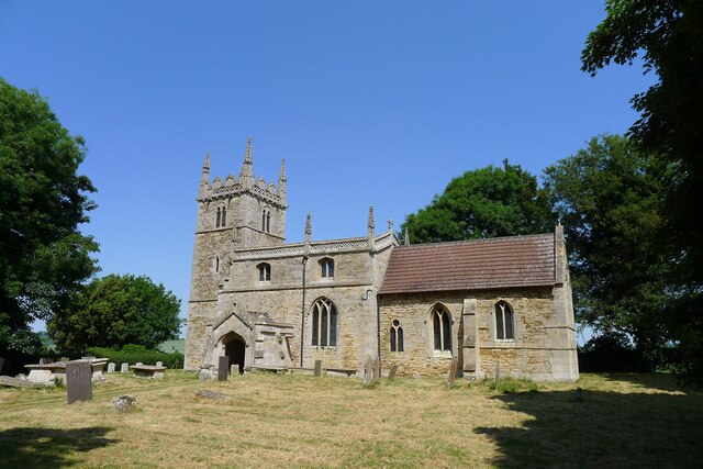
Fifteen Acre Plantation Images

Images are sourced within 2km of 52.973122/-0.6013597 or Grid Reference SK9442. Thanks to Geograph Open Source API. All images are credited.

Heath Lane The belt of trees on the horizon, Minnets Wood, sits on the top of the escarpment overlooking the Witham valley
Heath Lane
The belt of trees on the horizon, Minnets Wood, sits on the top of the escarpment overlooking the Witham valley
Heath Lane approaching Minnet's Wood Running towards the edge of the escarpment of Jurassic Lincolnshire Limestone
Heath Lane approaching Minnet's Wood
Running towards the edge of the escarpment of Jurassic Lincolnshire Limestone
North Lodge at the top of Minnett's Hill Once part of the former Syston Park estate. The hill drops down the Jurassic limestone escarpment towards the River Witham.
North Lodge at the top of Minnett's Hill
Once part of the former Syston Park estate. The hill drops down the Jurassic limestone escarpment towards the River Witham.
Bridleway by a field of oats The bridleway leads towards Honington
Bridleway by a field of oats
The bridleway leads towards Honington
Honington Camp hill fort Part of the defensive earth banks of an Iron Age hill fort or settlement <span class="nowrap"><a title="https://heritage-explorer.lincolnshire.gov.uk/Monument/MLI30366" rel="nofollow ugc noopener" href="https://heritage-explorer.lincolnshire.gov.uk/Monument/MLI30366">Link</a><img style="margin-left:2px;" alt="External link" title="External link - shift click to open in new window" src="https://s1.geograph.org.uk/img/external.png" width="10" height="10"/></span> <span class="nowrap"><a title="http://www.stone-circles.org.uk/stone/honington.htm" rel="nofollow ugc noopener" href="http://www.stone-circles.org.uk/stone/honington.htm">Link</a><img style="margin-left:2px;" alt="External link" title="External link - shift click to open in new window" src="https://s1.geograph.org.uk/img/external.png" width="10" height="10"/></span> . It sits close to the top of the Jurassic limestone escarpment overlooking the Witham valley and Vale of Belvoir.
Honington Camp hill fort
Part of the defensive earth banks of an Iron Age hill fort or settlement LinkExternal link LinkExternal link . It sits close to the top of the Jurassic limestone escarpment overlooking the Witham valley and Vale of Belvoir.
Stag Inn, Barkston At the junction of Church Street and the A607
Stag Inn, Barkston
At the junction of Church Street and the A607
The main road through Barkston
Church of St Nicholas, Barkston Listed Grade I. "Norman to Perpendicular church. Mainly of 12th century date, of which tower with 14th century spire and south arcade remain, with 14th and 15th century alterations" <span class="nowrap"><a title="https://heritage-explorer.lincolnshire.gov.uk/Monument/MLI30411" rel="nofollow ugc noopener" href="https://heritage-explorer.lincolnshire.gov.uk/Monument/MLI30411">Link</a><img style="margin-left:2px;" alt="External link" title="External link - shift click to open in new window" src="https://s1.geograph.org.uk/img/external.png" width="10" height="10"/></span>
Church of St Nicholas, Barkston
Listed Grade I. "Norman to Perpendicular church. Mainly of 12th century date, of which tower with 14th century spire and south arcade remain, with 14th and 15th century alterations" LinkExternal link
War Memorial and Church Street, Barkston The memorial commemorates ten men of Barkston who fell in the 1st World War, and the one man who died in the 2nd World War <span class="nowrap"><a title="http://www.roll-of-honour.com/Lincolnshire/Barkston.html" rel="nofollow ugc noopener" href="http://www.roll-of-honour.com/Lincolnshire/Barkston.html">Link</a><img style="margin-left:2px;" alt="External link" title="External link - shift click to open in new window" src="https://s1.geograph.org.uk/img/external.png" width="10" height="10"/></span>
War Memorial and Church Street, Barkston
The memorial commemorates ten men of Barkston who fell in the 1st World War, and the one man who died in the 2nd World War LinkExternal link
Service station on the A607 through Barkston The Londis brand is now part of Tescos
Service station on the A607 through Barkston
The Londis brand is now part of Tescos
Hough Road leading north from Barkston Start of a pleasant cycle run towards Hough-on-the-Hill
Hough Road leading north from Barkston
Start of a pleasant cycle run towards Hough-on-the-Hill
Hough Lane Level Crossing Crossing the 'Poacher Line' running from Grantham to Skegness via Sleaford and Boston. The crossing is signed Hough Lane, OS map calls this Hough Road
Hough Lane Level Crossing
Crossing the 'Poacher Line' running from Grantham to Skegness via Sleaford and Boston. The crossing is signed Hough Lane, OS map calls this Hough Road
Hough Road from the north side of Grove Plantations
Church of St Wilfred, Honington Listed Grade I, from the 11th century.
Church of St Wilfred, Honington
Listed Grade I, from the 11th century.
Main Street leaving the south side of Honington
Main Street, Honington, joining the A607 Across the road a Restricted Byway, Heath Lane, climbs up the escarpment of  Lincolnshire limestone known as the 'Lincoln Cliff'
Main Street, Honington, joining the A607
Across the road a Restricted Byway, Heath Lane, climbs up the escarpment of Lincolnshire limestone known as the 'Lincoln Cliff'
Heath Lane running down to Honington View west from the limestone escarpment of the 'Lincoln Cliff'
Heath Lane running down to Honington
View west from the limestone escarpment of the 'Lincoln Cliff'
View north-east from Heath Lane Looking along the shallow limestone escarpment known as the 'Lincoln Cliff'
View north-east from Heath Lane
Looking along the shallow limestone escarpment known as the 'Lincoln Cliff'
Show me another place!

Fifteen Acre Plantation is located at Grid Ref: SK9442 (Lat: 52.973122, Lng: -0.6013597)

Administrative County: Lincolnshire

District: South Kesteven

Police Authority: Lincolnshire

What 3 Words

///menswear.infinite.lads. Near Ancaster, Lincolnshire

Related Wikis

Honington, Lincolnshire

Honington is an English village and civil parish in the South Kesteven district of Lincolnshire. It lies just north of the junction between the A153 and...

Honington railway station

Honington railway station was a station in the village of Honington, Lincolnshire. It was located on junction with the line Grantham and Lincoln railway...

Barkston

Barkston is an English village and civil parish in the South Kesteven district of Lincolnshire. The parish population was 497 at the 2001 census and 493...

Syston, Lincolnshire

Syston is a village and civil parish in the South Kesteven district of Lincolnshire, England. The population of the civil parish was 162 at the 2011 census...

Nearby Amenities

Located within 500m of 52.973122,-0.6013597
Bus Stop
Main Street
Naptan AtcoCode: 270000008408
Naptan Bearing: SW
Naptan CommonName: Main Street
Naptan Indicator: adj
Naptan Landmark: Main Street
Naptan NaptanCode: lingpwgj
Naptan Street: Lincoln Road
Naptan Verified: no
Public Transport: platform
Source: naptan_import
Lat/Long: 52.9762264/-0.6004718
Bus Stop
Main Street
Naptan AtcoCode: 270000008409
Naptan Bearing: NE
Naptan CommonName: Main Street
Naptan Indicator: opp
Naptan Landmark: Main Street
Naptan NaptanCode: lingpwgm
Naptan Street: Lincoln Road
Naptan Verified: no
Source: naptan_import
Lat/Long: 52.9761122/-0.6006989
Generator Method: photovoltaic
Generator Output Electricity: yes
Generator Source: solar
Generator Type: solar_photovoltaic_panel
Location: roof
Power: generator
Lat/Long: 52.9753425/-0.5981246
Generator Method: photovoltaic
Generator Output Electricity: yes
Generator Source: solar
Generator Type: solar_photovoltaic_panel
Location: roof
Power: generator
Lat/Long: 52.9754895/-0.5967969
Generator Method: photovoltaic
Generator Output Electricity: yes
Generator Source: solar
Generator Type: solar_photovoltaic_panel
Location: roof
Power: generator
Lat/Long: 52.9753409/-0.5967969
The data included in this document is from www.openstreetmap.org. The data is made available under ODbL.

Have you been to Fifteen Acre Plantation?

Leave your review of Fifteen Acre Plantation below (or comments, questions and feedback).