Chain Spinney
Wood, Forest in Bedfordshire
England
Chain Spinney
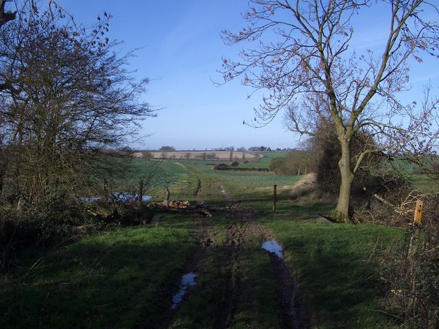
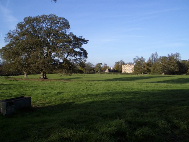
Chain Spinney is a small but picturesque wood located in the county of Bedfordshire, England. It is situated near the village of Maulden and is a popular destination for nature enthusiasts and hikers alike.
Covering an area of approximately 20 acres, Chain Spinney is characterized by its dense and mature trees, predominantly oak and beech, which provide a beautiful canopy of shade during the summer months. The woodland floor is adorned with an array of wildflowers, creating a vibrant and colorful atmosphere.
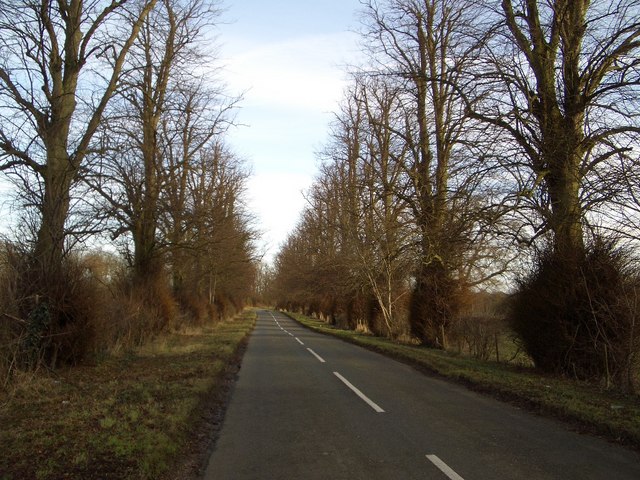
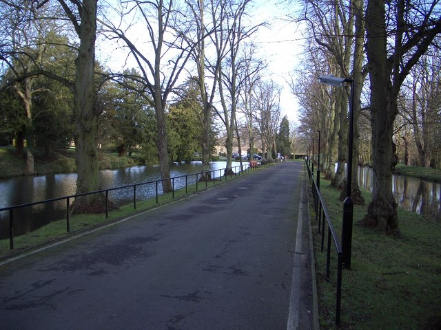
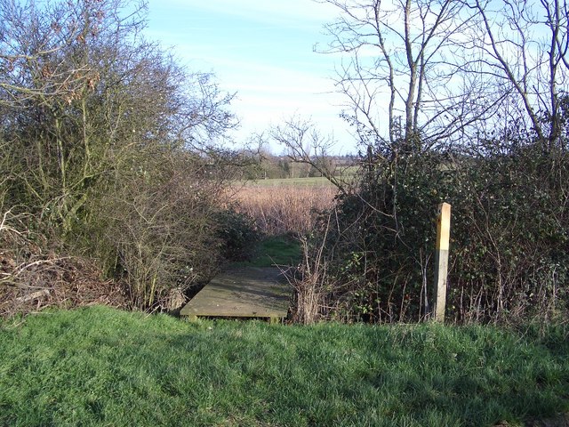
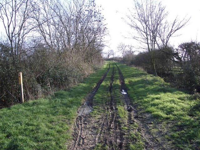
The wood is crisscrossed by a network of well-maintained footpaths, making it easily accessible to visitors. These paths allow for leisurely strolls or more challenging hikes, offering something for everyone. Along the way, visitors may encounter a variety of wildlife, including squirrels, rabbits, and a wide range of bird species.
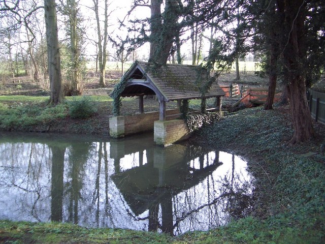
Chain Spinney also boasts a small pond, which serves as a watering hole for local wildlife. This water feature adds to the overall charm of the wood and provides a tranquil spot for visitors to relax and enjoy the peaceful surroundings.
The wood is managed by the local council, ensuring its preservation and protection for future generations. There are picnic areas and benches scattered throughout the wood, providing opportunities for visitors to rest and take in the natural beauty of their surroundings.
Overall, Chain Spinney offers a serene and picturesque woodland experience, perfect for those seeking a tranquil escape from the hustle and bustle of daily life.
If you have any feedback on the listing, please let us know in the comments section below.
Chain Spinney Images
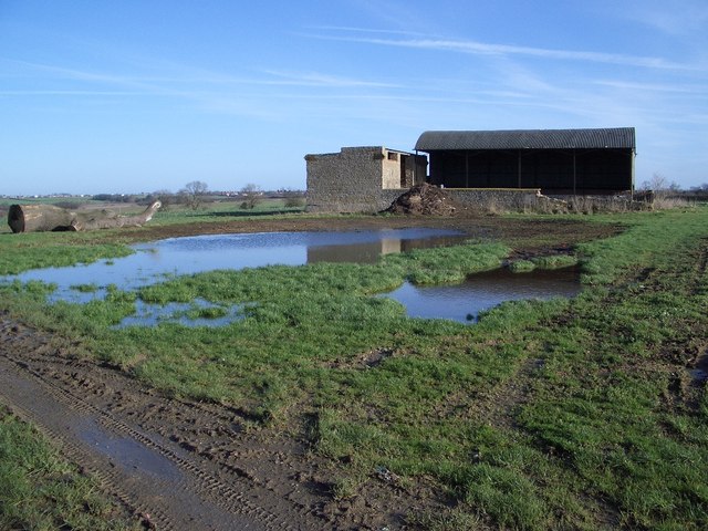
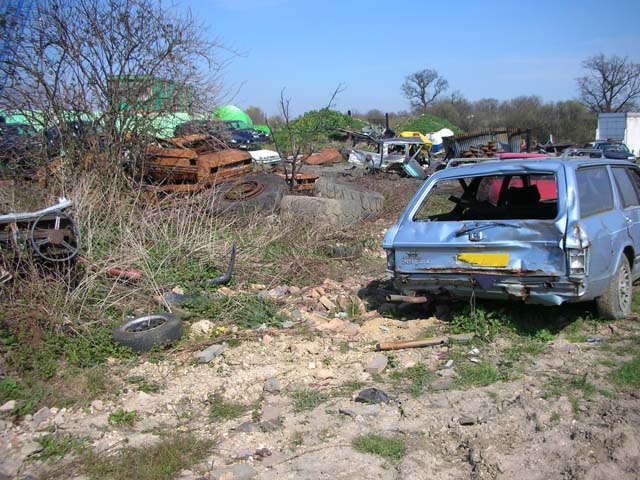
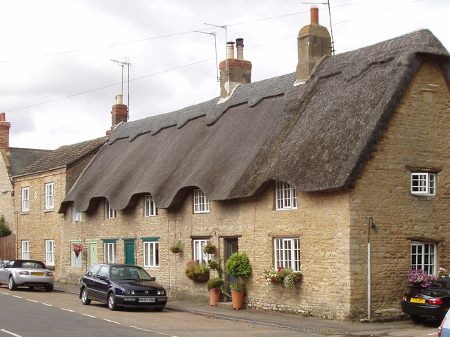
Images are sourced within 2km of 52.247703/-0.62451754 or Grid Reference SP9461. Thanks to Geograph Open Source API. All images are credited.


Chain Spinney is located at Grid Ref: SP9461 (Lat: 52.247703, Lng: -0.62451754)
Unitary Authority: Bedford
Police Authority: Bedfordshire
What 3 Words
///spooked.asked.candles. Near Podington, Bedfordshire
Nearby Locations
Related Wikis
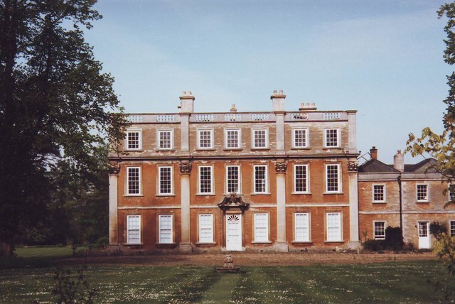
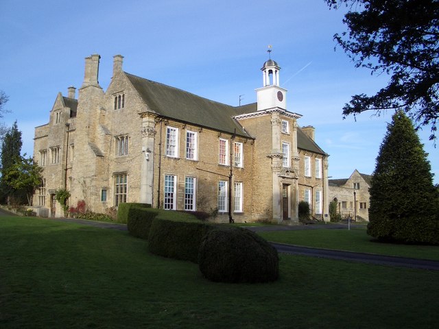
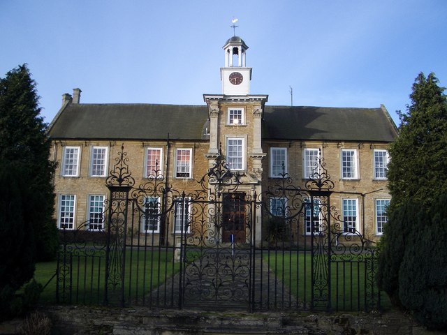
Hinwick House
Hinwick House is a Grade I-listed Queen Anne country house located about 90 minutes from Central London, near Podington in North Bedfordshire. The estate...
Podington
Podington is a village and civil parish in Bedfordshire, England, United Kingdom. The village is within the electoral ward of Harrold in the Borough of...
Hinwick
Hinwick ( HIN-ik) is a hamlet in northwest Bedfordshire, England, United Kingdom; it is around nine miles north west of Bedford and is about 1 km (0.62...

Church of St Mary, Podington
Church of St Mary, or St Mary the Virgin, is a Grade I listed church in Podington, Bedfordshire, England. It became a listed building on 13 July 1964,...
Nearby Amenities
Located within 500m of 52.247703,-0.62451754Have you been to Chain Spinney?
Leave your review of Chain Spinney below (or comments, questions and feedback).