Bakers Warren
Wood, Forest in Yorkshire Scarborough
England
Bakers Warren
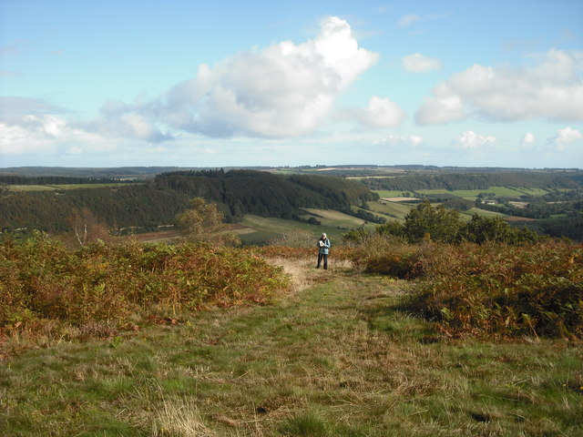
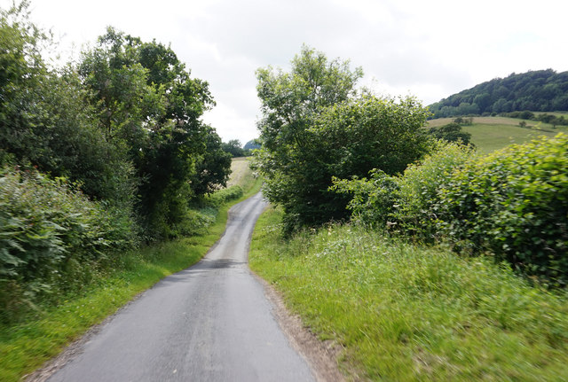
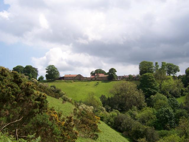
Bakers Warren is a small woodland area located in the county of Yorkshire, England. Situated within the larger region of Yorkshire Dales National Park, this woodland is known for its picturesque beauty, diverse flora and fauna, and tranquil atmosphere.
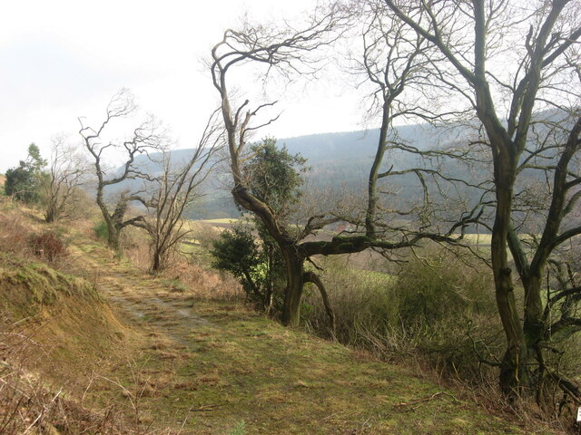
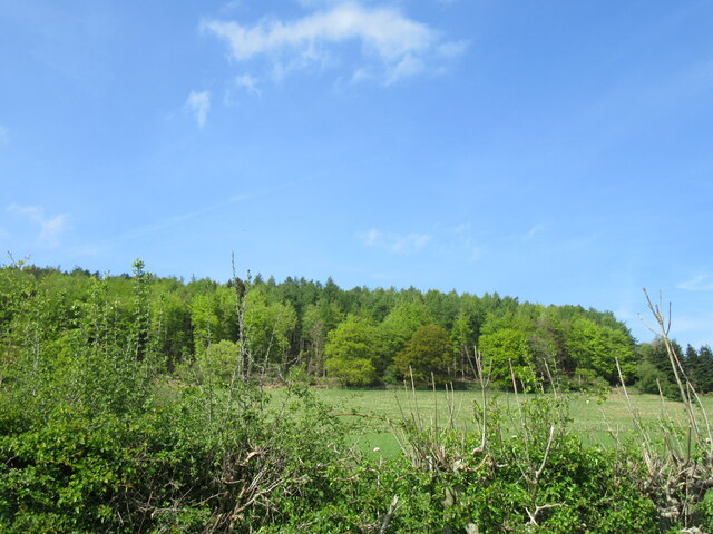
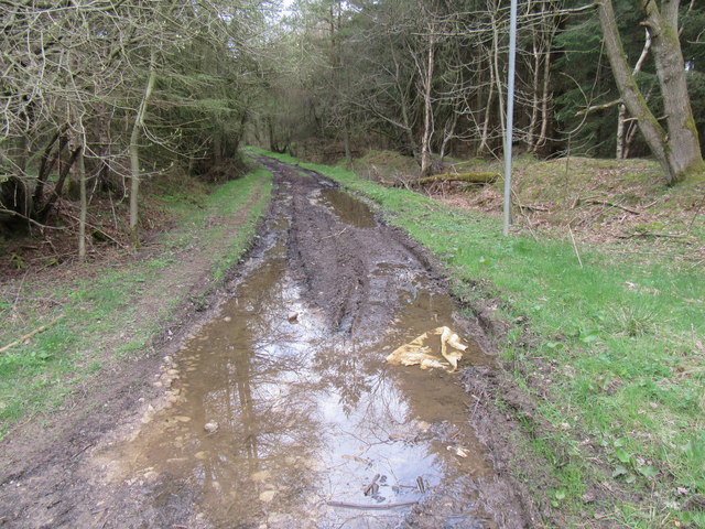
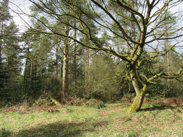
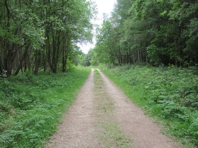
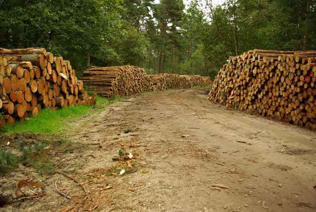
Covering an area of approximately 50 hectares, Bakers Warren is predominantly made up of dense forest, with tall trees providing a canopy that filters sunlight and creates a cool and shaded environment. The woodland is characterized by a mix of deciduous and coniferous trees, including oak, beech, birch, and pine, which contribute to the area's rich biodiversity.
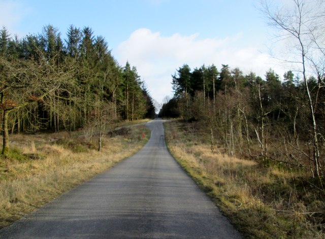
Visitors to Bakers Warren can enjoy a variety of recreational activities. There are several well-maintained walking trails that meander through the woodland, offering opportunities to explore the natural beauty and discover hidden gems such as small streams and beautiful wildflowers. The area is also a haven for birdwatchers, with a wide range of bird species, including woodpeckers, owls, and various songbirds, making their home in the trees.
Bakers Warren is also home to a diverse range of wildlife. Squirrels, rabbits, and deer are commonly spotted within the woodland, while foxes, badgers, and even the occasional hedgehog can also be encountered. The woodland provides a vital habitat for these creatures, offering shelter and abundant food sources.
Overall, Bakers Warren is a charming woodland area that offers visitors a chance to escape the hustle and bustle of everyday life and immerse themselves in nature. Whether it's a leisurely stroll, birdwatching, or simply enjoying the peaceful surroundings, this woodland provides a truly enchanting experience for all who visit.
If you have any feedback on the listing, please let us know in the comments section below.
Bakers Warren Images
Images are sourced within 2km of 54.292018/-0.55730981 or Grid Reference SE9489. Thanks to Geograph Open Source API. All images are credited.


Bakers Warren is located at Grid Ref: SE9489 (Lat: 54.292018, Lng: -0.55730981)
Division: North Riding
Administrative County: North Yorkshire
District: Scarborough
Police Authority: North Yorkshire
What 3 Words
///mixing.distract.inhaler. Near East Ayton, North Yorkshire
Nearby Locations
Related Wikis
Wykeham Forest
Wykeham Forest is a 2,760-acre (1,115-hectare) woodland 6 miles (9.7 km) in the North York Moors National Park, near to Wykeham, west of Scarborough, England...

Broxa-cum-Troutsdale
Broxa-cum-Troutsdale is a civil parish in the Scarborough district of North Yorkshire, England. The population as of the 2011 census remained less than...

Darncombe-cum-Langdale End
Darncombe-cum-Langdale End is a civil parish in the Scarborough district of North Yorkshire, England. According to the 2001 UK census, Darncombe-cum-Langdale...
Broxa, North Yorkshire
Broxa is a village in the Scarborough district of North Yorkshire, England, within the North York Moors National Park. The village is 6.2 miles (10 km...

Hackness
Hackness is a village and civil parish in the Scarborough district of the county of North Yorkshire, England. It lies within the North York Moors National...

Silpho
Silpho is a village and civil parish in the Scarborough district of the county of North Yorkshire, England. According to the 2001 UK census, Silpho parish...
Suffield, North Yorkshire
Suffield is a hamlet in the parish of Suffield-cum-Everley in the Scarborough district of North Yorkshire, England. the hamlet is 4.5 miles (7.2 km) north...

Sawdon
Sawdon is a village in the civil parish of Brompton, in North Yorkshire, England, about 8 miles (13 km) west of Scarborough.The village lies 1.75 miles...
Nearby Amenities
Located within 500m of 54.292018,-0.55730981Have you been to Bakers Warren?
Leave your review of Bakers Warren below (or comments, questions and feedback).