Ash Grove

Wood, Forest in Buckinghamshire

England

Ash Grove

Fullers Hill, Chesham
Fullers Hill, Chesham Credit: David Howard

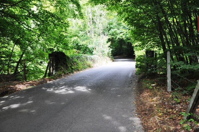
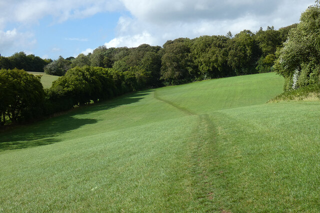
Ash Grove is a picturesque woodland located in the county of Buckinghamshire, England. Situated within close proximity to the village of Wood, it is known for its serene atmosphere and beautiful natural surroundings. Covering an area of approximately 50 acres, Ash Grove is a popular destination for nature enthusiasts and outdoor enthusiasts alike.

The woodland is characterized by a diverse range of trees, including oak, beech, and birch, which provides a rich and vibrant canopy throughout the year. The forest floor is covered in a thick layer of moss and ferns, creating a lush and green landscape. The presence of these trees and plants also supports a wide variety of wildlife, including deer, foxes, and numerous species of birds.

Ash Grove offers several walking trails that wind through the forest, allowing visitors to explore its hidden corners and enjoy the tranquility of nature. These trails vary in difficulty, catering to both casual walkers and more experienced hikers. Along the way, visitors may stumble upon bubbling brooks, small ponds, and even an ancient stone bridge, adding to the charm of the woodland.

The woodland is managed by the local authorities, who ensure its preservation and conservation. They have implemented measures to protect the natural habitat and maintain the integrity of the ecosystem. As a result, Ash Grove remains a pristine and well-preserved woodland, providing a haven for both flora and fauna.

Overall, Ash Grove in Buckinghamshire is a haven of natural beauty, offering visitors a chance to immerse themselves in the tranquility of a woodland environment. Its lush greenery, diverse wildlife, and well-maintained trails make it a must-visit destination for nature lovers and those seeking a peaceful retreat.

If you have any feedback on the listing, please let us know in the comments section below.
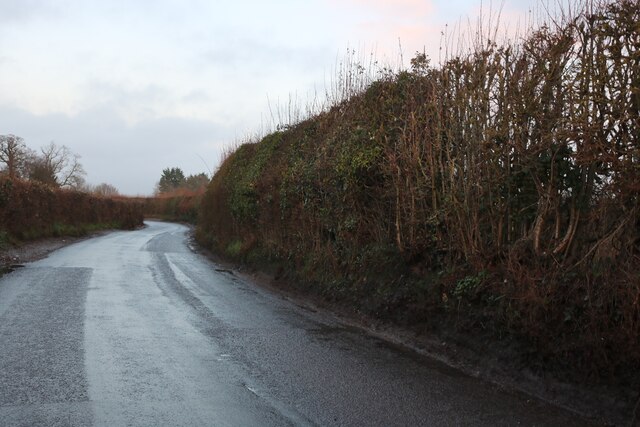
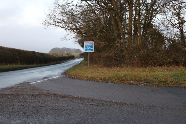
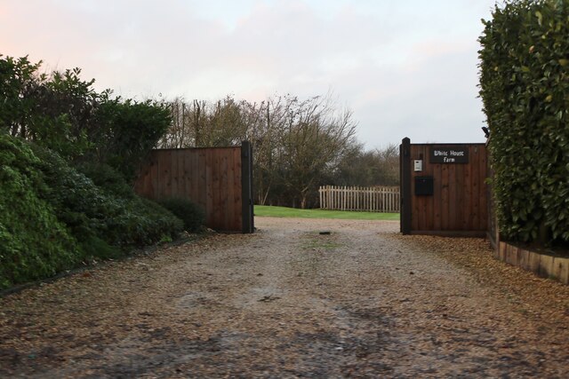
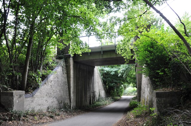
Ash Grove Images

Images are sourced within 2km of 51.679479/-0.64265416 or Grid Reference SU9398. Thanks to Geograph Open Source API. All images are credited.

Fullers Hill, Chesham
Fullers Lane at the junction of Copperkins Lane
The entrance to White House Farm, Chesham
Fullers Hill, Chesham
Koko's café Koko's styles itself as a 'gourmet food trailer'.  Tucked away behind Amersham cricket club, the simple pop-up café makes a welcome pitstop for passing walkers.  Reflecting the proprietor's Bosnian origins, the signature lunchtime speciality is burek - a savoury pastry.

At the time of writing, Koko's was open daily except Monday, subject to weather.
Koko's café
Koko's styles itself as a 'gourmet food trailer'. Tucked away behind Amersham cricket club, the simple pop-up café makes a welcome pitstop for passing walkers. Reflecting the proprietor's Bosnian origins, the signature lunchtime speciality is burek - a savoury pastry. At the time of writing, Koko's was open daily except Monday, subject to weather.
Amersham footpath 27 Far too many public footpaths around Amersham and Little Missenden are ploughed up by farmers, leaving walkers to find their own way through the crops.  But there's no mistaking footpath 27, immaculately defined and properly waymarked.
Amersham footpath 27
Far too many public footpaths around Amersham and Little Missenden are ploughed up by farmers, leaving walkers to find their own way through the crops. But there's no mistaking footpath 27, immaculately defined and properly waymarked.
Chalk Lane railway bridge This bridge carries the ex Metropolitan Railway & Great Central Railway Joint line north from Amersham towards Great Missenden.
Chalk Lane railway bridge
This bridge carries the ex Metropolitan Railway & Great Central Railway Joint line north from Amersham towards Great Missenden.
Railway bridge near Pipers Wood The overgrown parapets of Bridge No.117 near Pipers Wood.  The line from Amersham to Aylesbury passes beneath.
Railway bridge near Pipers Wood
The overgrown parapets of Bridge No.117 near Pipers Wood. The line from Amersham to Aylesbury passes beneath.
Woods and farmland, Amersham The footpath climbing towards Mop End from Shardeloes in snow that had fallen on the evening of 11th December.
Woods and farmland, Amersham
The footpath climbing towards Mop End from Shardeloes in snow that had fallen on the evening of 11th December.
Weedon Lane, Chesham Bois
Copperkins Lane at the end of Weedon Lane
Pasture, Little Missenden A footpath approaches the north-western part of Bray's Wood.
Pasture, Little Missenden
A footpath approaches the north-western part of Bray's Wood.
Farmland, Amersham Wheat beside the start of a footpath at Weedonhill Farm.
Farmland, Amersham
Wheat beside the start of a footpath at Weedonhill Farm.
Farmland, Amersham Wheat in a dry valley  below the railway and with Ostler's Wood to the right.
Farmland, Amersham
Wheat in a dry valley below the railway and with Ostler's Wood to the right.
Cherry Lane in Second Wood At one time this was a through road to Amersham. Now cut off by the Amersham Bypass it's still shown as a yellow unclassified road on the map, although it has obviously not been maintained to that standard for a long time.
Traffic of some sort evidently still uses it, and there even seems to have been a private attempt at street lighting, although that wasn't a success judging by the lamps hanging upside down off their pole.
I came up here on the bike, and met other people on horses so I guess it's still a right of way.
Cherry Lane in Second Wood
At one time this was a through road to Amersham. Now cut off by the Amersham Bypass it's still shown as a yellow unclassified road on the map, although it has obviously not been maintained to that standard for a long time. Traffic of some sort evidently still uses it, and there even seems to have been a private attempt at street lighting, although that wasn't a success judging by the lamps hanging upside down off their pole. I came up here on the bike, and met other people on horses so I guess it's still a right of way.
Spratley's Meadow football ground
Amersham Town FC sign, School Lane
Clubhouse, Spratley's Meadow football ground
Show me another place!

Ash Grove is located at Grid Ref: SU9398 (Lat: 51.679479, Lng: -0.64265416)

Unitary Authority: Buckinghamshire

Police Authority: Thames Valley

What 3 Words

///labs.agent.unity. Near Hyde Heath, Buckinghamshire

Related Wikis

Shardeloes

Shardeloes is a large 18th-century country house located one mile west of Amersham in Buckinghamshire, England (grid reference SU937978). A previous manor...
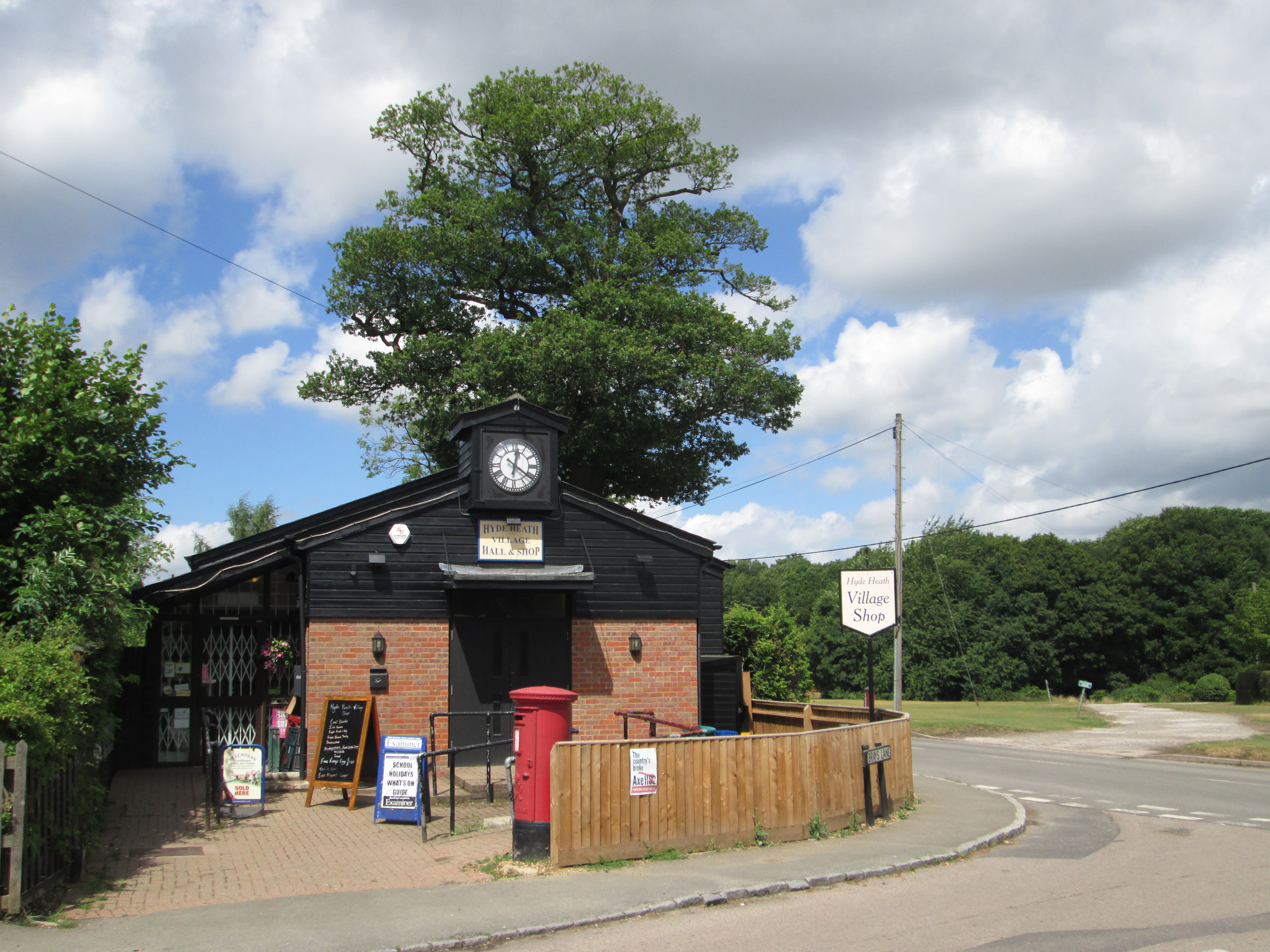
Hyde Heath

Hyde Heath is a village in the civil parish of Little Missenden, in the Buckinghamshire district of the ceremonial county of Buckinghamshire, England....

London Tigers F.C.

London Tigers Football Club is a football club based in Greenford, in the London Borough of Ealing, England. Formed in 2006 as a merger of Kingsbury Town...

Amersham Town F.C.

Amersham Town Football Club is a football club based in Amersham, Buckinghamshire England. The club are currently members of the Combined Counties League...

Nearby Amenities

Located within 500m of 51.679479,-0.64265416
Railway: owner_change
Railway Name LU: Metropolitan Line
Railway Name NR: London–Aylesbury Line
Lat/Long: 51.6811187/-0.6365636
Railway: crossing
Lat/Long: 51.6811079/-0.636752
Railway: crossing
Lat/Long: 51.6810675/-0.6367813
Railway: owner_change
Railway Name LU: Metropolitan Line
Railway Name NR: London–Aylesbury Line
Lat/Long: 51.6810818/-0.6365624
The data included in this document is from www.openstreetmap.org. The data is made available under ODbL.

Have you been to Ash Grove?

Leave your review of Ash Grove below (or comments, questions and feedback).