Circuitt's Covert
Wood, Forest in Bedfordshire
England
Circuitt's Covert
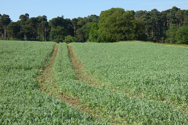
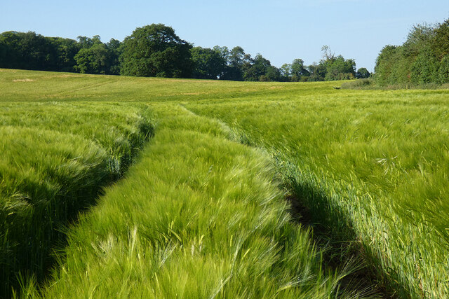
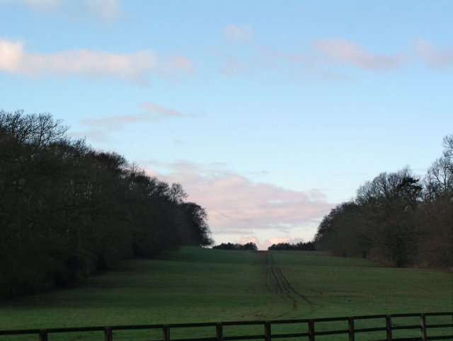
Circuitt's Covert, located in Bedfordshire, England, is a woodland area known for its tranquil and picturesque environment. Situated in the heart of the county, this forested area covers a substantial area of land, offering visitors an escape from the hustle and bustle of urban life.
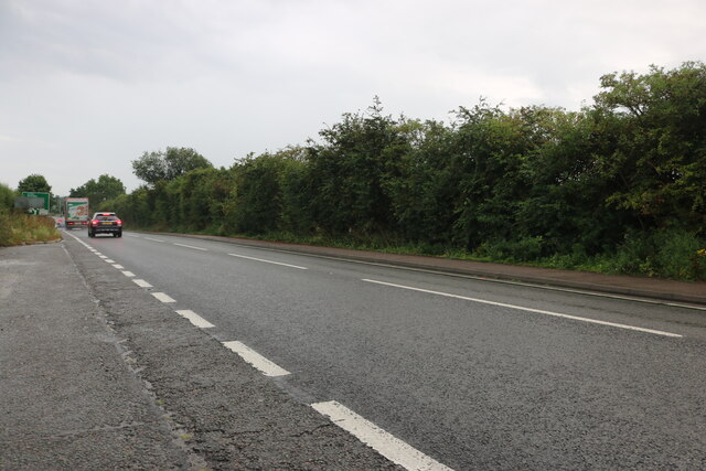
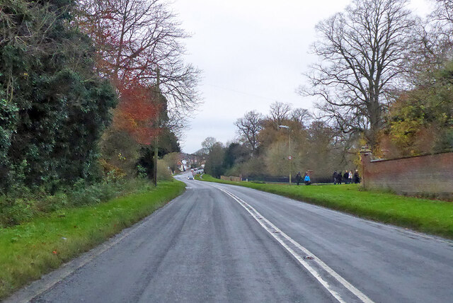
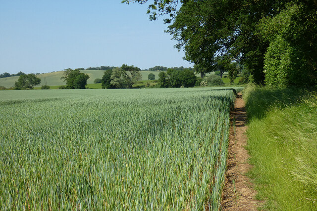
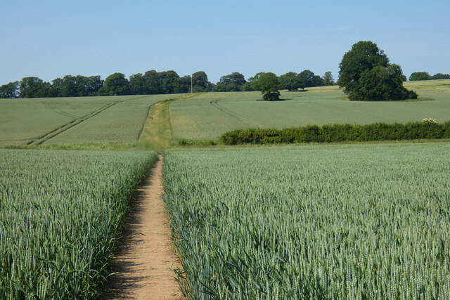
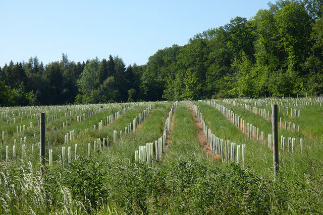
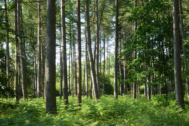
The woodland itself is characterized by a diverse range of tree species, including oak, beech, and birch, creating a beautiful natural tapestry. These trees provide a dense canopy, allowing for a shaded and cool atmosphere during the summer months. The forest floor is adorned with a carpet of wildflowers and ferns, adding to the enchanting ambiance.
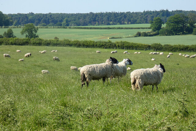
Circuitt's Covert is well-known amongst nature enthusiasts and hikers who appreciate the abundance of wildlife that inhabits the area. Birdwatchers can spot a variety of avian species, such as woodpeckers, owls, and buzzards, while animal lovers may encounter rabbits, foxes, and deer during their exploration. The forest is also home to a diverse range of insects, including butterflies and beetles.
Visitors to Circuitt's Covert can enjoy a range of outdoor activities, including walking, jogging, and cycling. The forest is crisscrossed with well-maintained trails, offering visitors the opportunity to explore the area and discover hidden gems. Picnic areas and benches are strategically placed throughout the woodland, providing the perfect spot to relax and take in the natural surroundings.
Overall, Circuitt's Covert in Bedfordshire offers a serene and peaceful retreat for those seeking solace in nature. With its lush woodland, diverse wildlife, and recreational opportunities, it is an ideal destination for individuals of all ages to immerse themselves in the beauty of the natural world.
If you have any feedback on the listing, please let us know in the comments section below.
Circuitt's Covert Images
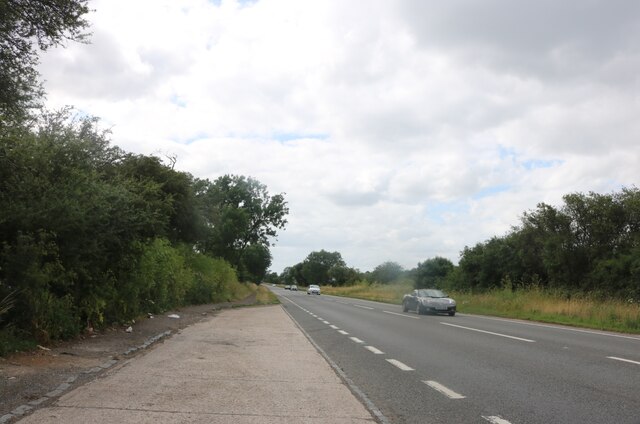
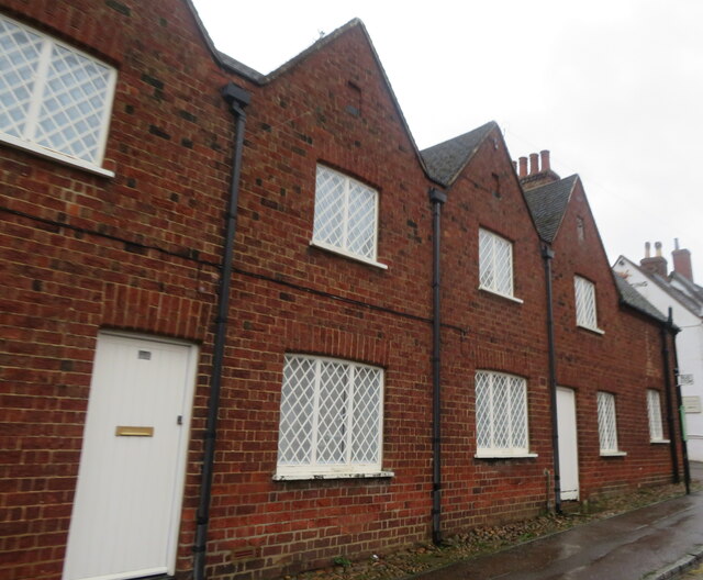
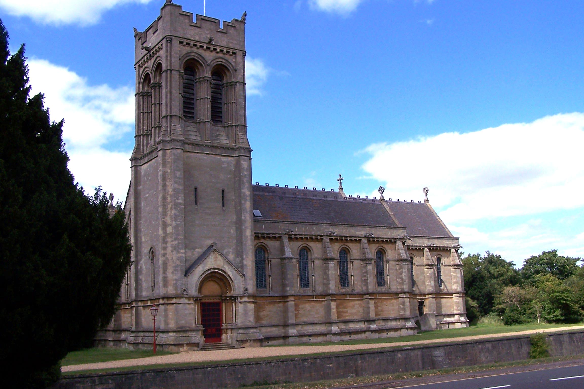
Images are sourced within 2km of 51.978533/-0.63522223 or Grid Reference SP9331. Thanks to Geograph Open Source API. All images are credited.
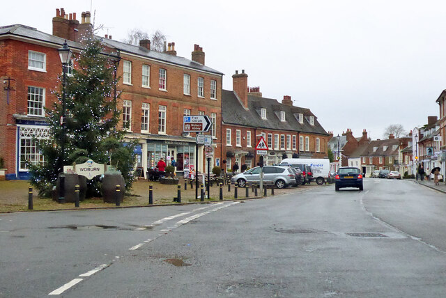

![The Bell, Woburn Public house on Bedford Street [B5704], the main road through the village.](https://s1.geograph.org.uk/geophotos/07/68/02/7680205_9911af22.jpg)

Circuitt's Covert is located at Grid Ref: SP9331 (Lat: 51.978533, Lng: -0.63522223)
Unitary Authority: Central Bedfordshire
Police Authority: Bedfordshire
What 3 Words
///popping.screen.scanning. Near Woburn, Bedfordshire
Nearby Locations
Related Wikis

Woburn Cottage Hospital
Woburn Cottage Hospital was a hospital in Woburn, Bedfordshire, England. == History == Mary, the Duchess of Bedford (1865–1937) developed an interest in...
Woburn, Bedfordshire
Woburn (, meaning twisted or crooked stream) is a town and civil parish in Bedfordshire, England, about 5 miles (8 km) southeast of Milton Keynes and 3...

Woburn Rural District
Woburn was a rural district in Bedfordshire, England from 1894 to 1900, covering Woburn and surrounding parishes. The district had its origins in the Woburn...

Woburn Town Hall
Woburn Town Hall is a municipal building in the Market Place, Woburn, Bedfordshire, England. The town hall, which has largely been converted for retail...
Nearby Amenities
Located within 500m of 51.978533,-0.63522223Have you been to Circuitt's Covert?
Leave your review of Circuitt's Covert below (or comments, questions and feedback).