Jay's Copse
Wood, Forest in Sussex Chichester
England
Jay's Copse

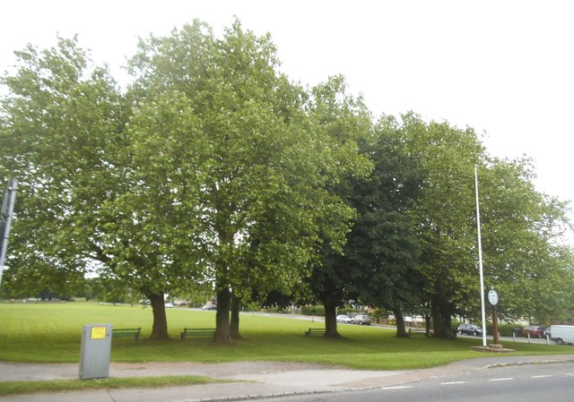
Jay's Copse is a picturesque woodland located in the county of Sussex, England. Spanning over an area of approximately 100 acres, this enchanting forest is a popular destination for nature enthusiasts and outdoor lovers alike.
The copse is predominantly composed of native broadleaf trees, such as oak, beech, and birch, creating a diverse and vibrant ecosystem. These trees provide a dense canopy, allowing only pockets of sunlight to filter through the foliage, giving the woodland a mystical and peaceful ambiance.
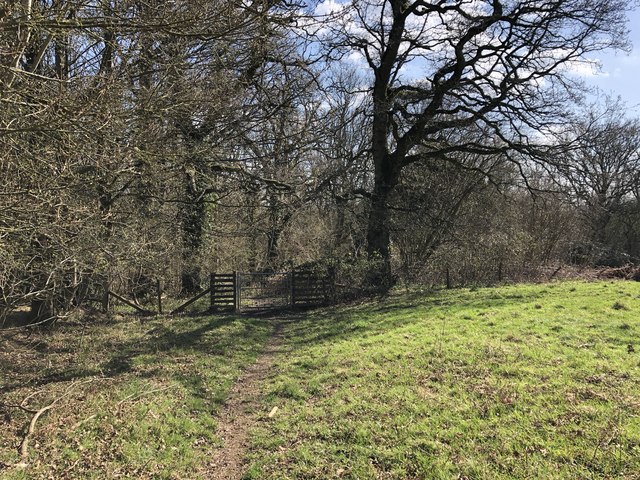
The forest floor is covered with a thick layer of leaf litter, which supports an array of plant species, including bluebells, wild garlic, and ferns. This rich undergrowth provides a habitat for various woodland creatures, such as badgers, foxes, and deer, which can often be spotted by visitors.
Tranquil pathways wind their way through Jay's Copse, offering visitors a chance to explore the natural beauty of the area. These trails are well-maintained, allowing for easy access and ensuring a pleasant walking experience for visitors of all ages and abilities.
Birdwatchers will delight in the copse's avian population, as it attracts a wide variety of bird species. From the melodic songs of song thrushes to the distinctive calls of jays, the woodland is a haven for birdlife, making it an ideal spot for birdwatching enthusiasts.
Jay's Copse is not only a haven for flora and fauna but also a place of tranquility and relaxation. Whether visitors choose to wander along the winding trails, listen to the sounds of nature, or simply sit back and soak in the serenity, this woodland gem offers an idyllic escape from the hustle and bustle of everyday life.
If you have any feedback on the listing, please let us know in the comments section below.
Jay's Copse Images
Images are sourced within 2km of 51.069791/-0.66236284 or Grid Reference SU9330. Thanks to Geograph Open Source API. All images are credited.


Jay's Copse is located at Grid Ref: SU9330 (Lat: 51.069791, Lng: -0.66236284)
Administrative County: West Sussex
District: Chichester
Police Authority: Sussex
What 3 Words
///spouse.sobered.frightens. Near Haslemere, Surrey
Nearby Locations
Related Wikis

Northchapel
Northchapel is a village and civil parish in Chichester District in West Sussex, England. It stands on the A283 road just south of the Surrey border, around...

Blackdown, West Sussex
Blackdown, or Black Down, summit elevation 279.7 metres (918 ft) AMSL, is the highest point in both the historic county of Sussex and the South Downs National...

Ramster
Ramster Garden is an open garden, near Chiddingfold, Surrey, covering over 20 acres (81,000 m2). First landscaped and laid out in the 1890s by Gauntlett...

Ramsnest Common
Ramsnest Common is a hamlet in the far south of the Borough of Waverley, the largest district of Surrey, England centred on the A283 1.5 miles (2.4 km...

Iberia Flight 062
Iberia Flight 062 was a twin-engined Sud Aviation Caravelle registered EC-BDD operating a scheduled flight from Málaga Airport, Spain, to London Heathrow...

Shillinglee Lake
Shillinglee Lake is a 17-hectare (42-acre) biological Site of Special Scientific Interest west of Plaistow in West Sussex.The lake has been designated...

Haste Hill
Haste Hill is a hill near Haslemere, Surrey in England which was probably the original settlement of the town of Haslemere. It was used as the site of...

Netherside Stream Outcrops
Netherside Stream Outcrops is a 2.9-hectare (7.2-acre) geological Site of Special Scientific Interest north-east of Haslemere in Surrey. It is a Geological...
Nearby Amenities
Located within 500m of 51.069791,-0.66236284Have you been to Jay's Copse?
Leave your review of Jay's Copse below (or comments, questions and feedback).