The Oaks

Wood, Forest in Lincolnshire South Kesteven

England

The Oaks

Saltersford Water Treatment Works near Grantham At SK 926 332, the water treatment tanks and reservoir are just across the River Witham which is just out of sight at the bottom of the slope.
Saltersford Water Treatment Works near Grantham Credit: Kate Jewell

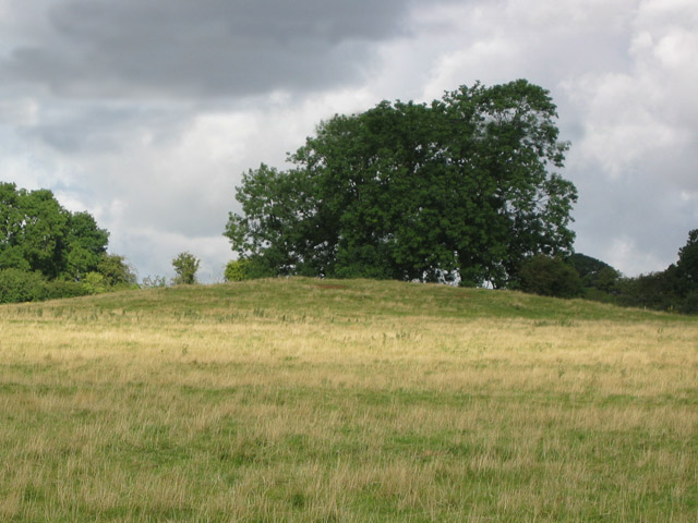
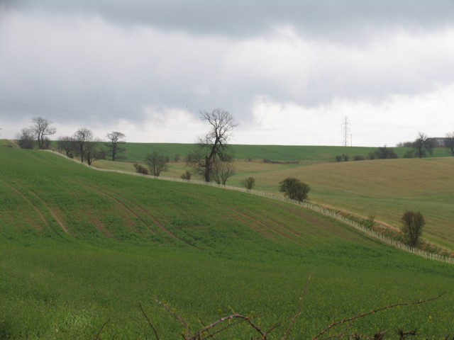
The Oaks in Lincolnshire is a picturesque woodland area located in the heart of the county. Covering a vast expanse of land, it is known for its dense forest and beautiful oak trees, which give the area its name. The Oaks is a haven for nature lovers and outdoor enthusiasts, offering a tranquil and serene environment for visitors to enjoy.

The woodland is home to a diverse range of wildlife, including various species of birds, mammals, and insects. Nature enthusiasts can often spot deer, foxes, and rabbits roaming freely amidst the trees. The Oaks also boasts a variety of plant life, with wildflowers and ferns dotting the forest floor.

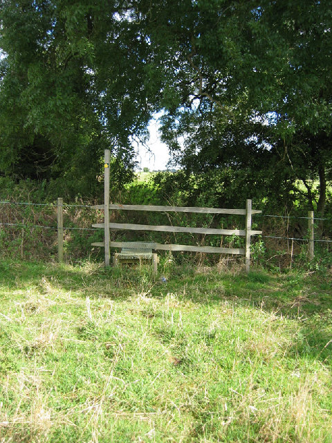
The woodland provides numerous walking trails, allowing visitors to explore its beauty at their own pace. These trails cater to different levels of difficulty, from leisurely strolls to more challenging hikes. There are also designated picnic areas where visitors can relax and enjoy a meal surrounded by nature.

The Oaks is not only a natural treasure but also holds historical significance. It is believed that the woodland has been in existence for centuries, and remnants of old structures can still be found within its boundaries. These remnants serve as a reminder of the area's rich history and add an extra layer of intrigue to the overall experience.

Overall, The Oaks in Lincolnshire is a captivating destination for those seeking a peaceful retreat in the midst of nature. Its lush forest, diverse wildlife, and historical remnants make it a must-visit location for anyone looking to immerse themselves in the beauty of the Lincolnshire countryside.

If you have any feedback on the listing, please let us know in the comments section below.
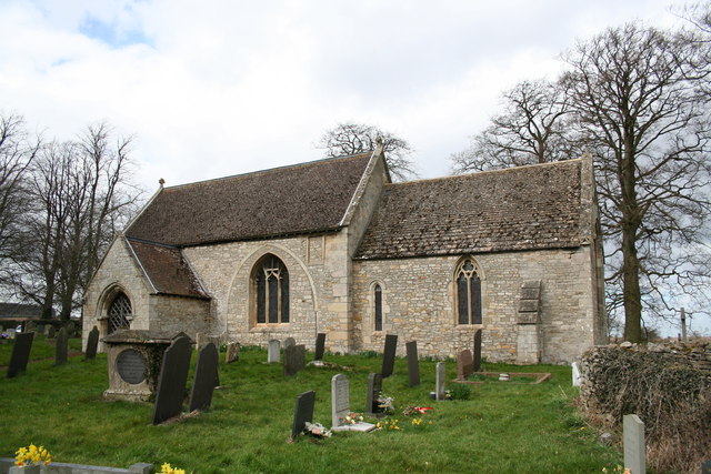
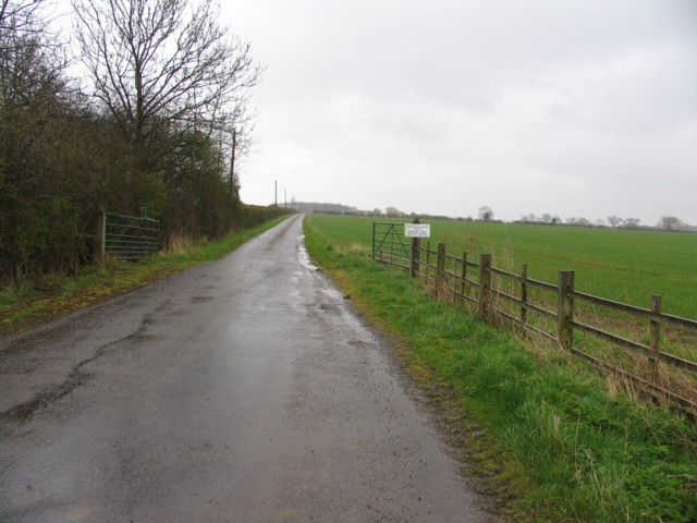
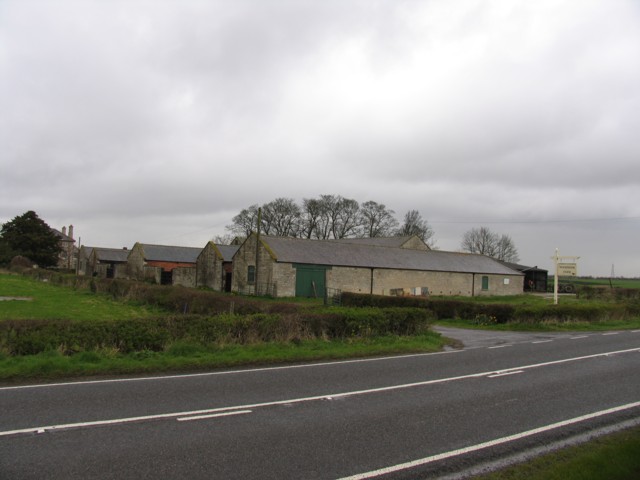
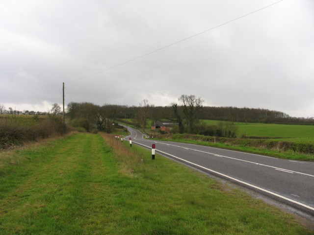
The Oaks Images

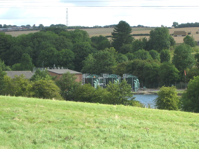
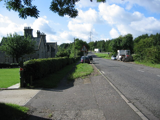
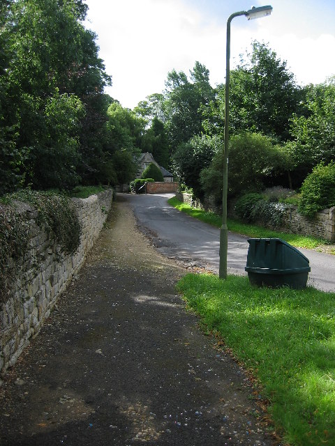
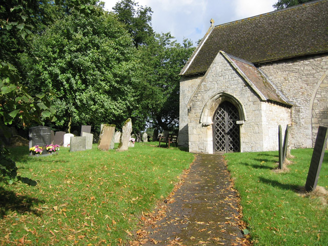
Images are sourced within 2km of 52.878153/-0.60753761 or Grid Reference SK9332. Thanks to Geograph Open Source API. All images are credited.

Saltersford Water Treatment Works near Grantham At SK 926 332, the water treatment tanks and reservoir are just across the River Witham which is just out of sight at the bottom of the slope.
Saltersford Water Treatment Works near Grantham
At SK 926 332, the water treatment tanks and reservoir are just across the River Witham which is just out of sight at the bottom of the slope.
Junction on the A1, south of Grantham The B1174 is the first of the four Grantham junctions as you approach from the south. The lorry in the centre of the photograph is on the A1. Taken from SK 921 319 looking south.
Junction on the A1, south of Grantham
The B1174 is the first of the four Grantham junctions as you approach from the south. The lorry in the centre of the photograph is on the A1. Taken from SK 921 319 looking south.
Little Ponton near Grantham This tiny village on the line of Ermine Street is believed to have been a Roman military station. Now it is a sleepy hamlet with the dull noise of the A1 traffic disturbing the peace.
Little Ponton near Grantham
This tiny village on the line of Ermine Street is believed to have been a Roman military station. Now it is a sleepy hamlet with the dull noise of the A1 traffic disturbing the peace.
St Guthlac's Church, Little Ponton The Limestone church dates back to the 11th century. Judging from the outside it has some fine stained glass but unfortunately it was locked. Situated at SK 924 332
St Guthlac's Church, Little Ponton
The Limestone church dates back to the 11th century. Judging from the outside it has some fine stained glass but unfortunately it was locked. Situated at SK 924 332
Tumulus near Little Ponton This mound in the middle of pasture is marked on the OS map at SK 922 326
Tumulus near Little Ponton
This mound in the middle of pasture is marked on the OS map at SK 922 326
Over the stile and into the next square Well, almost! One of the well maintained stiles on this footpath, this is actually just south of the grid boundary at SK 924 328
Over the stile and into the next square
Well, almost! One of the well maintained stiles on this footpath, this is actually just south of the grid boundary at SK 924 328
Bridge over the Great North Road The Stroxton to Little Ponton road crosses the A1 right at the edge of the square
Bridge over the Great North Road
The Stroxton to Little Ponton road crosses the A1 right at the edge of the square
Putting out the cones on the A1 A favourite pastime of the Highways Agency!
Putting out the cones on the A1
A favourite pastime of the Highways Agency!
St.Guthlac's church, Little Ponton, Lincs. An interesting little church without tower or bellcote and lots of Norman work inside that Pevsner thinks may be even earlier.
St.Guthlac's church, Little Ponton, Lincs.
An interesting little church without tower or bellcote and lots of Norman work inside that Pevsner thinks may be even earlier.
Ponton road
Ponton road
View towards Great Ponton The square boundary follows the give way markings at the junction. Great Ponton is visible in the next square.
View towards Great Ponton
The square boundary follows the give way markings at the junction. Great Ponton is visible in the next square.
Driveway to Poplar Farm
Woodnook Farm
Woodnook Farm
Ermine Street Ermine Street with Ponton Park Woods in the background.
Ermine Street
Ermine Street with Ponton Park Woods in the background.
Fields opposite Woodnook Farm Newly planted hedges to be noted.
Fields opposite Woodnook Farm
Newly planted hedges to be noted.
Kesteven Rugby Football Club Several rugby football pitches and a large club house.
Kesteven Rugby Football Club
Several rugby football pitches and a large club house.
Dallygate Lane, Great Ponton Looking through the railway bridge towards the site of the old Great Ponton station on the Grantham to London line.
Dallygate Lane, Great Ponton
Looking through the railway bridge towards the site of the old Great Ponton station on the Grantham to London line.
Rear entrance to Great Ponton Quarry
Show me another place!

The Oaks is located at Grid Ref: SK9332 (Lat: 52.878153, Lng: -0.60753761)

Administrative County: Lincolnshire

District: South Kesteven

Police Authority: Lincolnshire

What 3 Words

///urgent.guises.tasty. Near Grantham, Lincolnshire

Related Wikis

Little Ponton

Little Ponton is a village in the civil parish of Little Ponton and Stroxton, in the South Kesteven district of Lincolnshire, England. It lies 2 miles...

Great Ponton railway station

Great Ponton railway station was a station on the East Coast Main Line at Great Ponton, Lincolnshire, England. The Great Northern Railway opened it in...

Little Ponton and Stroxton

Little Ponton and Stroxton is a civil parish in the South Kesteven district of Lincolnshire, England. According to the 2001 Census it had a population...

Ellys Manor House

Ellys Manor House (pronounced "Ellis"), or the Old Rectory is a late-fifteenth to early sixteenth century manor house in Great Ponton, Lincolnshire, England...

Nearby Amenities

Located within 500m of 52.878153,-0.60753761
Power: tower
Lat/Long: 52.8740244/-0.608151
Power: tower
Lat/Long: 52.8766434/-0.6098958
Power: tower
Lat/Long: 52.878266/-0.611011
Power: tower
Lat/Long: 52.8810887/-0.6129062
The data included in this document is from www.openstreetmap.org. The data is made available under ODbL.

Have you been to The Oaks?

Leave your review of The Oaks below (or comments, questions and feedback).