Great Hill Plantation
Wood, Forest in Lincolnshire South Kesteven
England
Great Hill Plantation

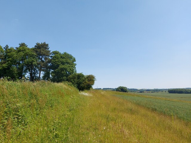
Great Hill Plantation is a picturesque woodland area located in Lincolnshire, England. Situated near the village of Wood, the plantation is known for its serene and natural beauty, attracting visitors from near and far.
Covering a vast area, the plantation is characterized by a dense forest that is home to a diverse range of flora and fauna. Towering oak, beech, and birch trees dominate the landscape, creating a rich and verdant canopy that provides shelter and sustenance for numerous species of birds, mammals, and insects.
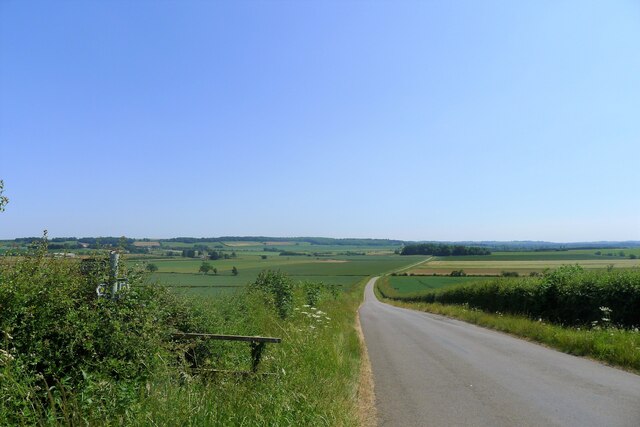
The plantation offers a plethora of walking trails, allowing visitors to explore the woodland and immerse themselves in its tranquil atmosphere. As they meander through the well-maintained paths, visitors are treated to breathtaking views of the surrounding countryside, with rolling hills and open fields stretching as far as the eye can see.
Great Hill Plantation is also a popular destination for outdoor enthusiasts and nature lovers. The plantation offers opportunities for activities such as birdwatching, wildlife spotting, and photography. The diverse ecosystem supports a wide range of bird species, including woodpeckers, owls, and songbirds, making it a haven for birdwatchers.
The plantation is open to the public throughout the year, allowing visitors to experience the changing seasons and witness the vibrant colors of autumn, the fresh blossoms of spring, and the quiet beauty of winter. With its tranquil ambiance and stunning natural vistas, Great Hill Plantation in Lincolnshire is truly a hidden gem for those seeking solace in nature.
If you have any feedback on the listing, please let us know in the comments section below.
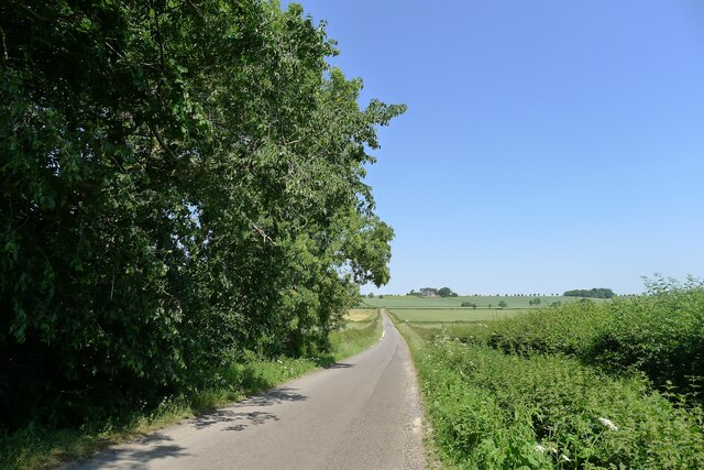
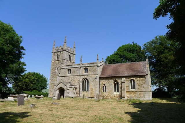
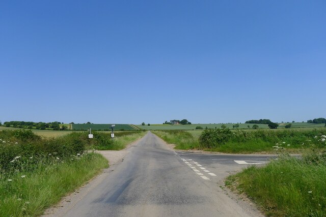
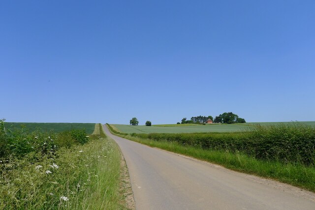
Great Hill Plantation Images
Images are sourced within 2km of 52.991501/-0.60547401 or Grid Reference SK9344. Thanks to Geograph Open Source API. All images are credited.


Great Hill Plantation is located at Grid Ref: SK9344 (Lat: 52.991501, Lng: -0.60547401)
Administrative County: Lincolnshire
District: South Kesteven
Police Authority: Lincolnshire
What 3 Words
///equity.codes.union. Near Caythorpe, Lincolnshire
Nearby Locations
Related Wikis
Carlton Scroop
Carlton Scroop is a small village and civil parish in the South Kesteven district of Lincolnshire, England. The population of the civil parish (including...

Honington railway station
Honington railway station was a station in the village of Honington, Lincolnshire. It was located on junction with the line Grantham and Lincoln railway...

Honington, Lincolnshire
Honington is an English village and civil parish in the South Kesteven district of Lincolnshire. It lies just north of the junction between the A153 and...
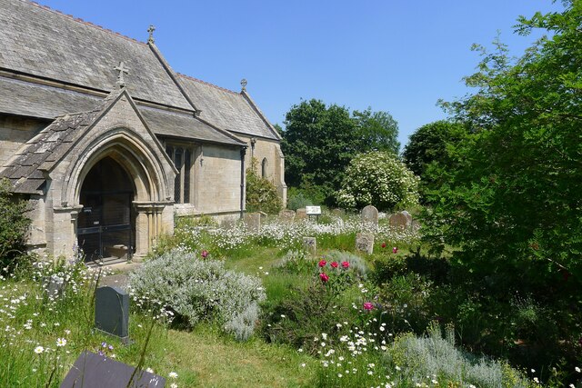
St Nicholas Church, Normanton
St Nicholas Church is a redundant Anglican church in Normanton-on-Cliffe, Lincolnshire, England. It is recorded in the National Heritage List for England...
Nearby Amenities
Located within 500m of 52.991501,-0.60547401Have you been to Great Hill Plantation?
Leave your review of Great Hill Plantation below (or comments, questions and feedback).