Standinghill Wood

Wood, Forest in Surrey Guildford

England

Standinghill Wood

A slower type of joyrider This historic vehicle on the A323 at Willey Green seems to have ended its days here. Elsewhere, historic events this month include: January 4 – China, France, Russia, the United Kingdom and the United States—all five permanent members of the United Nations Security Council—issue a rare joint statement affirming that "a nuclear war cannot be won and must never be fought."; January 10 – The first successful heart transplant from a pig to a human patient is reported; January 14 - a very large eruption on Hunga Tonga–Hunga Haʻapai, an uninhabited volcanic island and submarine volcano of the Tongan archipelago in the southern Pacific Ocean; January 16 – World No. 1 tennis champion Novak Djokovic is deported from Australia following a high-profile legal case regarding his COVID-19 vaccination status, preventing his participation in the 2022 Australian Open; January 28 – COVID-19 pandemic: The number of vaccinations administered worldwide exceeds 10 billion;January 31 – Sue Gray’s long awaited report appears but without many specific revelations, as it has been passed to the police
A slower type of joyrider Credit: Basher Eyre

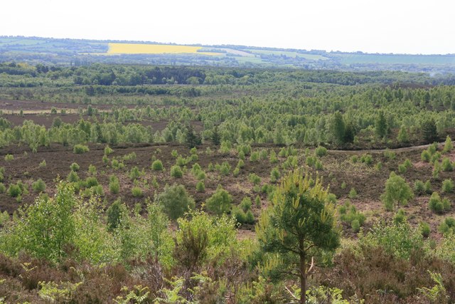
Standinghill Wood is a picturesque woodland located in the county of Surrey, England. Covering an area of approximately 100 acres, it is a prominent natural attraction in the region. The wood is situated near the village of Cranleigh, nestled amidst the rolling hills and scenic landscapes that Surrey is known for.

Characterized by a diverse mix of tree species, including oak, beech, and birch, Standinghill Wood offers a tranquil and serene setting for nature enthusiasts and hikers alike. The woodland is home to an abundance of wildlife, with various birds, mammals, and insects calling it their habitat. Nature lovers can often spot deer, foxes, and squirrels while exploring the wood's extensive network of footpaths.

The wood provides a haven for outdoor activities such as walking, jogging, and cycling, with well-maintained trails that wind through its enchanting forested areas. A popular spot for picnics and family outings, Standinghill Wood offers ample space for relaxation and recreation. Visitors can find seating areas and open spaces, perfect for enjoying the peaceful surroundings.

Managed by the local council, the wood is kept in pristine condition, ensuring a pleasant experience for all visitors. Educational programs and guided walks are sometimes organized to promote awareness and appreciation of the natural environment. Additionally, the wood is easily accessible, with parking facilities available nearby, making it convenient for individuals and families to explore and enjoy its beauty.

Standinghill Wood in Surrey is a treasured natural gem, providing a much-needed escape from the bustle of urban life and offering a valuable opportunity to connect with nature.

If you have any feedback on the listing, please let us know in the comments section below.

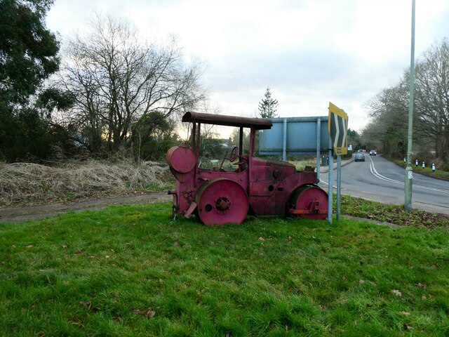
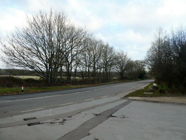
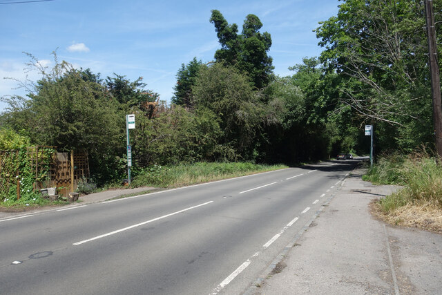
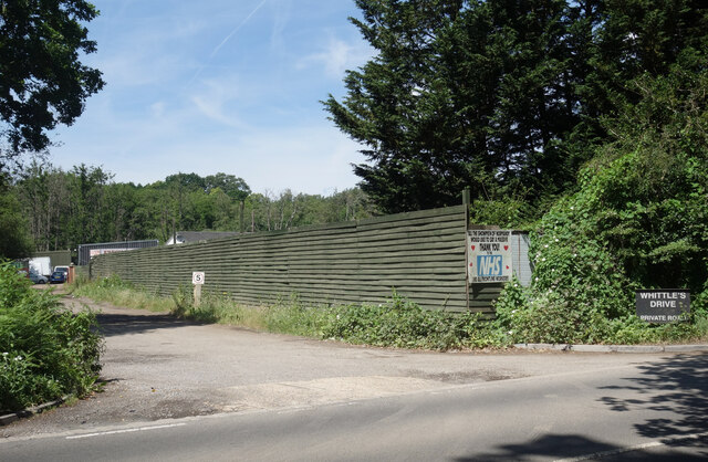
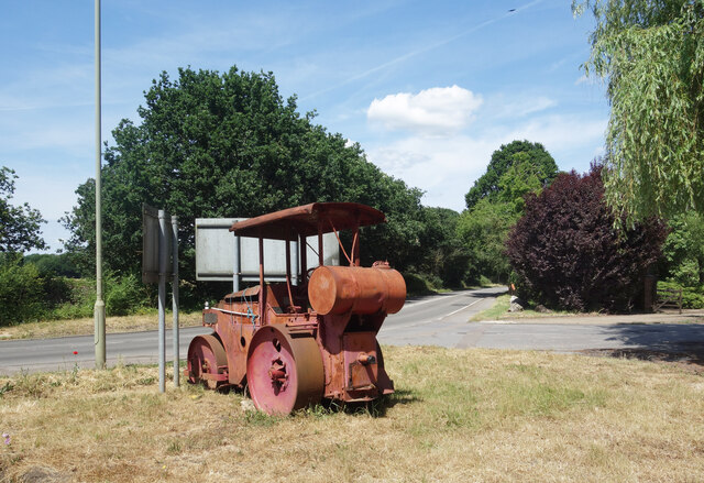
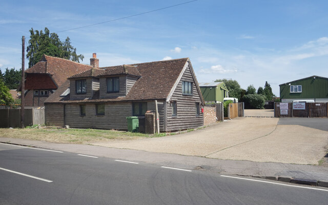
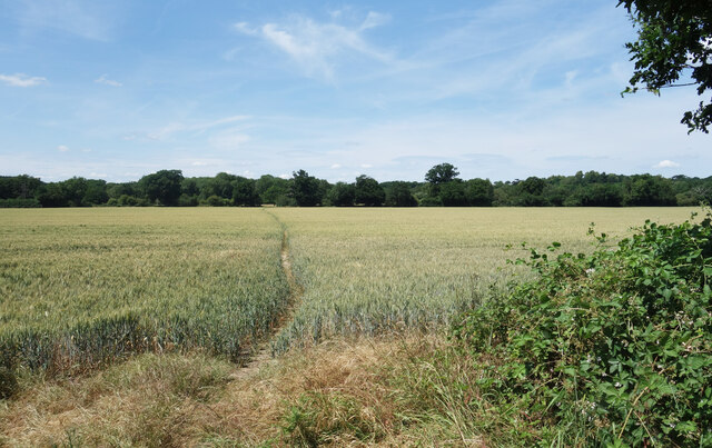
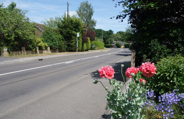
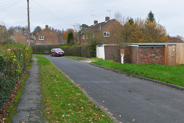
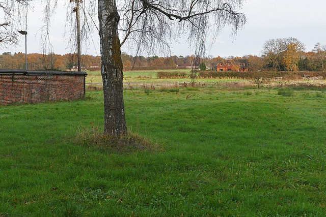
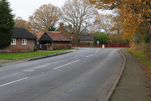
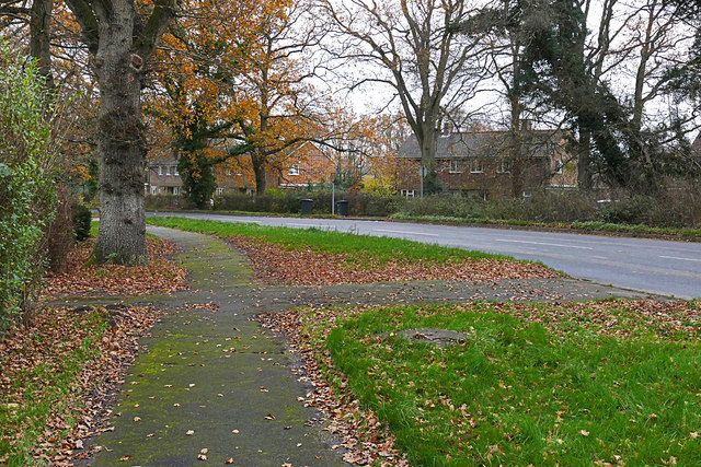
Standinghill Wood Images

Images are sourced within 2km of 51.27311/-0.65904838 or Grid Reference SU9353. Thanks to Geograph Open Source API. All images are credited.

A slower type of joyrider This historic vehicle on the A323 at Willey Green seems to have ended its days here. Elsewhere, historic events this month include: January 4 – China, France, Russia, the United Kingdom and the United States—all five permanent members of the United Nations Security Council—issue a rare joint statement affirming that "a nuclear war cannot be won and must never be fought."; January 10 – The first successful heart transplant from a pig to a human patient is reported; January 14 - a very large eruption on Hunga Tonga–Hunga Haʻapai, an uninhabited volcanic island and submarine volcano of the Tongan archipelago in the southern Pacific Ocean; January 16 – World No. 1 tennis champion Novak Djokovic is deported from Australia following a high-profile legal case regarding his COVID-19 vaccination status, preventing his participation in the 2022 Australian Open; January 28 – COVID-19 pandemic: The number of vaccinations administered worldwide exceeds 10 billion;January 31 – Sue Gray’s long awaited report appears but without many specific revelations, as it has been passed to the police
A slower type of joyrider
This historic vehicle on the A323 at Willey Green seems to have ended its days here. Elsewhere, historic events this month include: January 4 – China, France, Russia, the United Kingdom and the United States—all five permanent members of the United Nations Security Council—issue a rare joint statement affirming that "a nuclear war cannot be won and must never be fought."; January 10 – The first successful heart transplant from a pig to a human patient is reported; January 14 - a very large eruption on Hunga Tonga–Hunga Haʻapai, an uninhabited volcanic island and submarine volcano of the Tongan archipelago in the southern Pacific Ocean; January 16 – World No. 1 tennis champion Novak Djokovic is deported from Australia following a high-profile legal case regarding his COVID-19 vaccination status, preventing his participation in the 2022 Australian Open; January 28 – COVID-19 pandemic: The number of vaccinations administered worldwide exceeds 10 billion;January 31 – Sue Gray’s long awaited report appears but without many specific revelations, as it has been passed to the police
Winter trees opposite Wyldecrest Park on the A323 The weather this month was largely mild and uneventful <span class="nowrap"><a title="https://www.metoffice.gov.uk/binaries/content/assets/metofficegovuk/pdf/weather/learn-about/uk-past-events/summaries/uk_monthly_climate_summary_202201a.pdf" rel="nofollow ugc noopener" href="https://www.metoffice.gov.uk/binaries/content/assets/metofficegovuk/pdf/weather/learn-about/uk-past-events/summaries/uk_monthly_climate_summary_202201a.pdf">Link</a><img style="margin-left:2px;" alt="External link" title="External link - shift click to open in new window" src="https://s1.geograph.org.uk/img/external.png" width="10" height="10"/></span> until the last few days when we were hit successively by Storm Malik and Storm Corrie <span class="nowrap"><a title="https://www.itv.com/news/border/2022-01-30/scots-could-be-without-power-as-officials-warn-storm-corrie-may-be-worse" rel="nofollow ugc noopener" href="https://www.itv.com/news/border/2022-01-30/scots-could-be-without-power-as-officials-warn-storm-corrie-may-be-worse">Link</a><img style="margin-left:2px;" alt="External link" title="External link - shift click to open in new window" src="https://s1.geograph.org.uk/img/external.png" width="10" height="10"/></span>
Winter trees opposite Wyldecrest Park on the A323
The weather this month was largely mild and uneventful LinkExternal link until the last few days when we were hit successively by Storm Malik and Storm Corrie LinkExternal link
Aldershot Road at Frog Grove Lane – 1972 The bus is preserved Aldershot & District Dennis Lancet no.178, probably on its way to a bus rally.

This is one of a series of views featuring buses in the 60s, 70s, and 80s. <a title="https://www.geograph.org.uk/search.php?i=137652761" href="https://www.geograph.org.uk/search.php?i=137652761">Link</a>
Aldershot Road at Frog Grove Lane – 1972
The bus is preserved Aldershot & District Dennis Lancet no.178, probably on its way to a bus rally. This is one of a series of views featuring buses in the 60s, 70s, and 80s. Link
Bus Stops and Pathway, Aldershot Road When planning a walk or cycle it's sometimes helpful to know if a main road is going to be safe to go along or not. I sometimes look at other pictures to find this information and I think it's a useful thing to use Geograph for. There is a pathway all along this bit of road.
Ok, this isn't a wonderful picture but someone might find it helpful. 
I have used a new tag "main road with footway"
Bus Stops and Pathway, Aldershot Road
When planning a walk or cycle it's sometimes helpful to know if a main road is going to be safe to go along or not. I sometimes look at other pictures to find this information and I think it's a useful thing to use Geograph for. There is a pathway all along this bit of road. Ok, this isn't a wonderful picture but someone might find it helpful. I have used a new tag "main road with footway"
Thank You NHS, Whittles Drive During the worst of the covid pandemic of the early 2020s it was very common to see banners and notices thanking health workers for what they were doing in the extreme conditions of that time.
A lot of these notices have disappeared now, but this one is still here.
It says "All the Showmen of Normandy would like to say a massive THANK YOU to the NHS and all frontline workers" 
Re Showmen of Normandy, Whittles Drive is where a lot of fairground vehicles and equipment are kept, and Normandy is the name of the nearby village.
Thank You NHS, Whittles Drive
During the worst of the covid pandemic of the early 2020s it was very common to see banners and notices thanking health workers for what they were doing in the extreme conditions of that time. A lot of these notices have disappeared now, but this one is still here. It says "All the Showmen of Normandy would like to say a massive THANK YOU to the NHS and all frontline workers" Re Showmen of Normandy, Whittles Drive is where a lot of fairground vehicles and equipment are kept, and Normandy is the name of the nearby village.
Old Roller at the Bend Other pictures show that this old roller has been here for quite a long time <a href="https://www.geograph.org.uk/photo/5257852">SU9351 : Willey Green - Steamroller</a>.
So far it doesn't seem to have been hit by careless drivers leaving the road at the bend,
which is probably a good thing as I doubt this would come off worst.
Old Roller at the Bend
Other pictures show that this old roller has been here for quite a long time SU9351 : Willey Green - Steamroller. So far it doesn't seem to have been hit by careless drivers leaving the road at the bend, which is probably a good thing as I doubt this would come off worst.
Footpath through the yard A public footpath is signed past these buildings.
Footpath through the yard
A public footpath is signed past these buildings.
Path over the Field This area is a real town and country mixture with a lot of farmland and woods still surviving, but also a lot of housing  strung out along the roads.
Path over the Field
This area is a real town and country mixture with a lot of farmland and woods still surviving, but also a lot of housing strung out along the roads.
Guildford Road, Normandy A typical road for this area, lined with 20th century suburban style housing but without all the stops and starts of being in a town.
Guildford Road, Normandy
A typical road for this area, lined with 20th century suburban style housing but without all the stops and starts of being in a town.
Frog Grove Lane Phone Box Another redundant phone box adopted by the local community.
This one houses a book exchange, a favourite new use.
Frog Grove Lane Phone Box
Another redundant phone box adopted by the local community. This one houses a book exchange, a favourite new use.
Upper Stanford Road A small residential enclave based around a cul-de-sac off the Ash Road near Pirbright.
Upper Stanford Road
A small residential enclave based around a cul-de-sac off the Ash Road near Pirbright.
View from Upper Stanford Road Looking east from Upper Stanford Road across the fields towards Bullswater Common. The building on the left is a garage block on Upper Stanford Road.
View from Upper Stanford Road
Looking east from Upper Stanford Road across the fields towards Bullswater Common. The building on the left is a garage block on Upper Stanford Road.
Ash Road, Pirbright Looking east along the Ash Road from the junction with Upper Stanford Road.
Ash Road, Pirbright
Looking east along the Ash Road from the junction with Upper Stanford Road.
Footbridge near Newbridge Common The footbridge over a drain running into the Stanford Brook on the footpath from Ash Road to the Aldershot Road.
Footbridge near Newbridge Common
The footbridge over a drain running into the Stanford Brook on the footpath from Ash Road to the Aldershot Road.
Dank woodland, Newbridge Common Wet woodland south of the Aldershot Road with a drain that empties into the Stanford Brook.
Dank woodland, Newbridge Common
Wet woodland south of the Aldershot Road with a drain that empties into the Stanford Brook.
Stanford Farm, Pirbright The former farm buildings, now a residential property on the junction of the Ash Road with the Aldershot Road.
Stanford Farm, Pirbright
The former farm buildings, now a residential property on the junction of the Ash Road with the Aldershot Road.
Walkway along the Ash Road The walkway along the Ash Road, a rural road running from the Aldershot Road past Bullswater Common to Fox Corner on the A322.
Walkway along the Ash Road
The walkway along the Ash Road, a rural road running from the Aldershot Road past Bullswater Common to Fox Corner on the A322.
Path junction with the Ash Road The southern end of the path from the Aldershot Road to the Ash Road. The path continues on the other side of the Ash Road across Cobbetthill Common.
Path junction with the Ash Road
The southern end of the path from the Aldershot Road to the Ash Road. The path continues on the other side of the Ash Road across Cobbetthill Common.
Show me another place!

Standinghill Wood is located at Grid Ref: SU9353 (Lat: 51.27311, Lng: -0.65904838)

Administrative County: Surrey

District: Guildford

Police Authority: Surrey

What 3 Words

///sticky.lordship.centrally. Near Normandy, Surrey

Related Wikis

Ash Ranges

Ash Ranges is a 1,392-hectare (3,440-acre) nature reserve west of Pirbright in Surrey. It is owned by the Ministry of Defence and managed by the Surrey...

Stag Radio

Stag Radio is the radio station run by the students of the University of Surrey in Guildford, Surrey, England, which broadcasts on 1350AM during term...
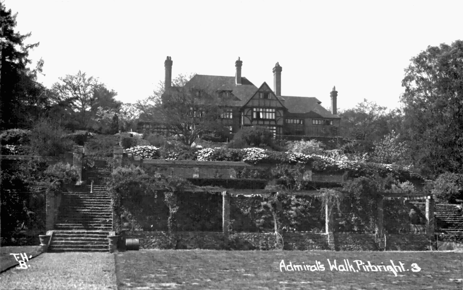
Admiral's Walk

Admiral's Walk is a mock-Tudor country house in Pirbright, in the county of Surrey, England. It was built in the early 1900s, in the style of an Elizabethan...

Normandy, Surrey

Normandy is a civil parish of 16.37 square kilometres (4,050 acres) in the borough of Guildford in Surrey, England and the name of the largest village...

Nearby Amenities

Located within 500m of 51.27311,-0.65904838
Standing Hill
Natural: peak
Source: npe
Lat/Long: 51.2742264/-0.6568478
Crossing
Crossing: uncontrolled
Crossing Island: yes
Lat/Long: 51.2699834/-0.6600953
Man Made: mast
Source: sas
Tower Type: communication
Lat/Long: 51.2736957/-0.6522119
Barrier: bollard
Lat/Long: 51.2771178/-0.6571807
Ford: yes
Lat/Long: 51.2762101/-0.661999
Crossing
Crossing: uncontrolled
Crossing Island: yes
Lat/Long: 51.2699561/-0.6600051
Life Ring
Emergency: life_ring
Lat/Long: 51.2748782/-0.6613902
Bench
Backrest: yes
Material: wood
Lat/Long: 51.2739955/-0.66071
The data included in this document is from www.openstreetmap.org. The data is made available under ODbL.

Have you been to Standinghill Wood?

Leave your review of Standinghill Wood below (or comments, questions and feedback).