Aspley Wood

Wood, Forest in Bedfordshire

England

Aspley Wood

Station Road, Woburn Sands Towards the station, which is on the Bletchley - Bedford line.
Station Road, Woburn Sands Credit: Robin Webster

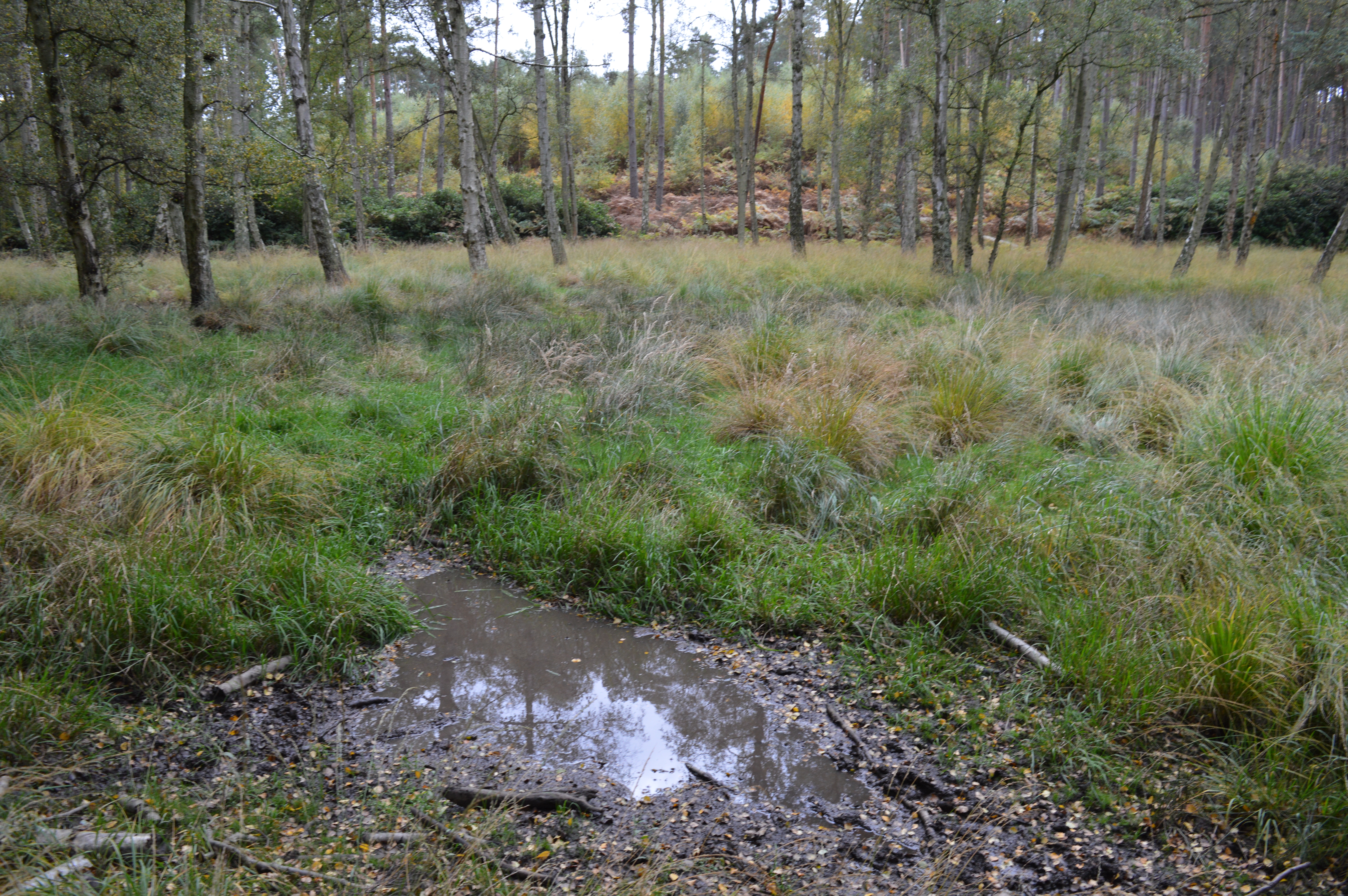
Aspley Wood, located in Bedfordshire, is a scenic woodland area known for its natural beauty and abundant wildlife. Spanning approximately 150 hectares, the wood is situated just south of Woburn and is easily accessible to visitors.

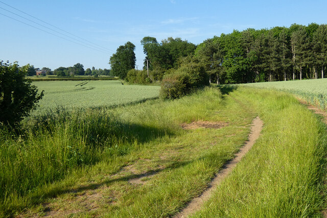
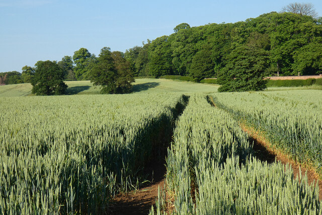
The woodland is predominantly made up of mature oak, beech, and sweet chestnut trees, creating a rich and diverse habitat. Aspley Wood is home to a variety of wildlife, including deer, foxes, badgers, and a wide range of bird species, making it a popular spot for nature enthusiasts and birdwatchers.

The wood offers a network of well-maintained footpaths and trails, allowing visitors to explore the tranquil surroundings at their own pace. The main walking route, known as the Greensand Ridge Walk, passes through Aspley Wood, offering stunning views of the surrounding countryside.

Aspley Wood has a long history and has been managed by the Forestry Commission since the 1920s. The wood was once part of the historic Woburn Abbey estate and still retains remnants of its past, including the remains of a medieval moated site. The area is also known for its archaeological significance, with several Iron Age and Roman sites discovered within its boundaries.

Overall, Aspley Wood is a picturesque and diverse woodland, offering a peaceful escape from the hustle and bustle of everyday life. With its rich wildlife, well-maintained trails, and historical significance, it is a must-visit destination for nature lovers and history enthusiasts alike.

If you have any feedback on the listing, please let us know in the comments section below.

Aspley Wood Images

Images are sourced within 2km of 52.001308/-0.63753064 or Grid Reference SP9334. Thanks to Geograph Open Source API. All images are credited.
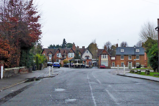
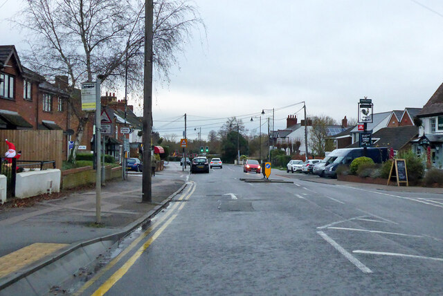
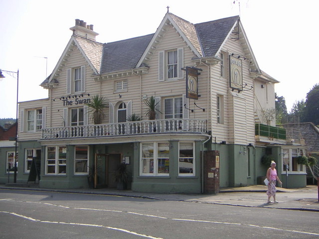
Station Road, Woburn Sands Towards the station, which is on the Bletchley - Bedford line.
Station Road, Woburn Sands
Towards the station, which is on the Bletchley - Bedford line.
War memorial, Woburn Sands In full, Woburn Sands and Aspley Heath War Memorial. It is grade II listed, and unusually incorporates a clock.
War memorial, Woburn Sands
In full, Woburn Sands and Aspley Heath War Memorial. It is grade II listed, and unusually incorporates a clock.
Woburn Road, Woburn Sands Entering the village from the Woburn direction. The two are a fair way apart.
Woburn Road, Woburn Sands
Entering the village from the Woburn direction. The two are a fair way apart.
Road from Woburn to Woburn Sands Very grand for an unclassified road, and indeed it once was the A50.
Road from Woburn to Woburn Sands
Very grand for an unclassified road, and indeed it once was the A50.
Market Place, Woburn All the buildings are grade II listed, except the one behind the Christmas tree, which is grade II*(star).
Market Place, Woburn
All the buildings are grade II listed, except the one behind the Christmas tree, which is grade II*(star).
Village centre, Aspley Guise
Bedford Road, Aspley Guise
Farmland, Woburn Barley to the north of the ruins of Horsemoor Farm.
Farmland, Woburn
Barley to the north of the ruins of Horsemoor Farm.
Farmland, Woburn Wheat beside the bridleway approaching Birchmoor Farm.
Farmland, Woburn
Wheat beside the bridleway approaching Birchmoor Farm.
Farmland, Aspley Guise A footpath between wheat fields to the south of Husborne Crawley.
Farmland, Aspley Guise
A footpath between wheat fields to the south of Husborne Crawley.
Farmland, Woburn Fields of wheat to the south of Husborne Crawley.
Farmland, Woburn
Fields of wheat to the south of Husborne Crawley.
The Bell, Woburn Public house on Bedford Street [B5704], the main road through the village.
The Bell, Woburn
Public house on Bedford Street [B5704], the main road through the village.
23-25 Bedford Street, Woburn Redbrick cottages with lattice windows.
23-25 Bedford Street, Woburn
Redbrick cottages with lattice windows.
Woburn, Bedfordshire village centre Crossroads of A5130 and unclassified road in Woburn centre.
Woburn, Bedfordshire village centre
Crossroads of A5130 and unclassified road in Woburn centre.
The Swan, Woburn Sands The Swan pub and restaurant in Woburn Sands, located at the busy junction on the MK -to- Woburn & Bow Brickhill -to- M1 J13 roads.
The Swan, Woburn Sands
The Swan pub and restaurant in Woburn Sands, located at the busy junction on the MK -to- Woburn & Bow Brickhill -to- M1 J13 roads.
The Old Chapel, Aspley Guise Another converted chapel that's now used as a home, located on Horsepool Lane.
The Old Chapel, Aspley Guise
Another converted chapel that's now used as a home, located on Horsepool Lane.
St. Botolph, Aspley Guise "St. Botolph's Church was largely rebuilt in early Victorian times, but retains a medieval screen and 15th century brasses." according to aboutbritan.com.  St. Botolph's is located at the bottom of the Church Hill  Church Street road Junction, with a grave yard on the opposing side of Church Street.
St. Botolph, Aspley Guise
"St. Botolph's Church was largely rebuilt in early Victorian times, but retains a medieval screen and 15th century brasses." according to aboutbritan.com. St. Botolph's is located at the bottom of the Church Hill Church Street road Junction, with a grave yard on the opposing side of Church Street.
St Mary's Church, Woburn Sands A Catholic church in Woburn Sands that seems to have been built within the last 50 years, as it doesn't show up on any '40s OS maps.  To the right appears to be the father's house. In the grounds are also a meeting hall and cemetery.
St Mary's Church, Woburn Sands
A Catholic church in Woburn Sands that seems to have been built within the last 50 years, as it doesn't show up on any '40s OS maps. To the right appears to be the father's house. In the grounds are also a meeting hall and cemetery.
Show me another place!

Aspley Wood is located at Grid Ref: SP9334 (Lat: 52.001308, Lng: -0.63753064)

Unitary Authority: Central Bedfordshire

Police Authority: Bedfordshire

What 3 Words

///birthdays.quaking.restless. Near Aspley Guise, Bedfordshire

Nearby Locations

Aspley Wood Mermaid's Pond

Related Wikis

Aspley Heath

Aspley Heath is a village and civil parish in the Central Bedfordshire district of Bedfordshire, England, elevated and small in population and area, mostly...

Wavendon Heath Ponds

Wavendon Heath Ponds is a 4.7-hectare (12-acre) biological Site of Special Scientific Interest in Aspley Heath in Bedfordshire. It was notified in 1986...

Aspley Guise

Aspley Guise is a village and civil parish in the west of Central Bedfordshire, England. In addition to the village of Aspley Guise itself, the civil parish...

Aspley Guise & Woburn Sands Golf Club

Aspley Guise & Woburn Sands Golf Club is a golf club in Bedfordshire, England, situated between the village of Aspley Guise and the town of Woburn Sands...

Related Videos

đź’•Walking through the WOBURN ABBEY deer park #traveldiariesmk4554

Woburn Abbey is a breathtaking stately home located in Bedfordshire, England. Steeped in history and surrounded by stunning ...

Walking With Deer

Walking with deer at Woburn Deer Park. Filmed in 4K on Apple iPhone 13 with a 3-Axis Gimbal Stabiliser. YouTube Audio Library ...

Fire in the woods! // Faulty backpacking stove // solo female walking video and safety tips

I decided to schedule in some self care this week and take a short hike in my local woods. I had planned to test out a new camping ...

Nearby Amenities

Located within 500m of 52.001308,-0.63753064
Building: yes
Lat/Long: 51.9982092/-0.6374146
The data included in this document is from www.openstreetmap.org. The data is made available under ODbL.

Have you been to Aspley Wood?

Leave your review of Aspley Wood below (or comments, questions and feedback).