New Barn Copse

Wood, Forest in Sussex Chichester

England

New Barn Copse

Old Milestone by UC road, Blackdown Hill The Milestone is located by the road.  Parish of Lurgashall (Chichester District). Metal plate attached to stone post, erected in the 19th Century. An earlier photograph can be found here: <a title="https://www.geograph.org.uk/photo/3912371" href="https://www.geograph.org.uk/photo/3912371">Link</a> 

Inscription reads:-   
TO / HASLEMERE / 3¼ / MILES : : TO / PETWORTH / 7 / MILES 

Milestone Society National ID: SX_PWHM07
Old Milestone by UC road, Blackdown Hill Credit: Milestone Society

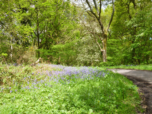
New Barn Copse is a dense woodland located in the county of Sussex, in the southern region of England. Covering an area of approximately 50 acres, it is known for its natural beauty, rich biodiversity, and tranquil atmosphere. The copse is situated near the village of New Barn, surrounded by rolling hills and picturesque landscapes.

The woodland is primarily composed of deciduous trees, including oak, beech, and birch, which provide a dense canopy overhead, creating a shaded and cool environment. The forest floor is covered with an array of wildflowers, mosses, and ferns, adding to the copse's enchanting charm.

New Barn Copse is home to a diverse range of wildlife, including various bird species such as woodpeckers, owls, and songbirds. Small mammals like foxes, rabbits, and squirrels can also be spotted within the woodland, while elusive creatures like badgers and deer are occasionally sighted by lucky visitors.

The copse offers several walking trails, allowing visitors to explore its natural wonders at their own pace. These trails wind through the forest, offering glimpses of ancient trees, babbling brooks, and hidden clearings. The peacefulness of the woodland makes it an ideal spot for nature lovers, photographers, and those seeking respite from the bustling city life.

New Barn Copse is managed by the local council, ensuring its preservation and protection for future generations. The copse serves as a valuable habitat for wildlife, a recreational area for visitors, and a reminder of the region's natural heritage.

If you have any feedback on the listing, please let us know in the comments section below.

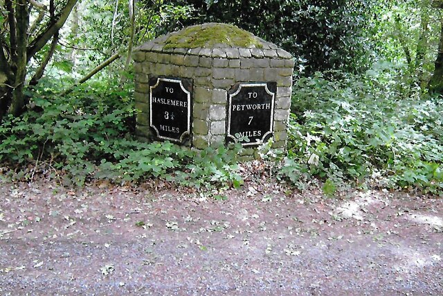
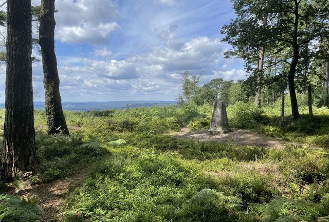
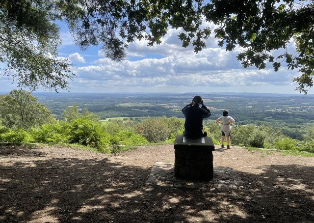
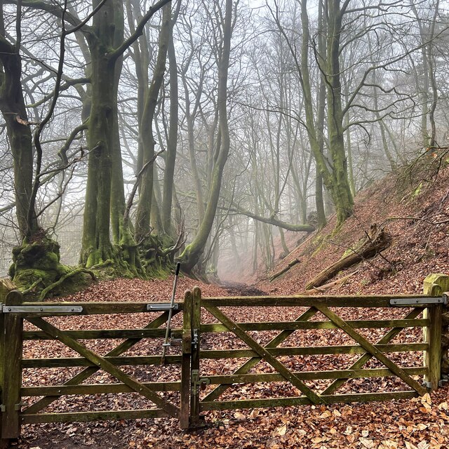
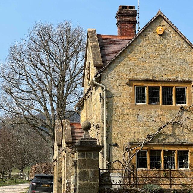
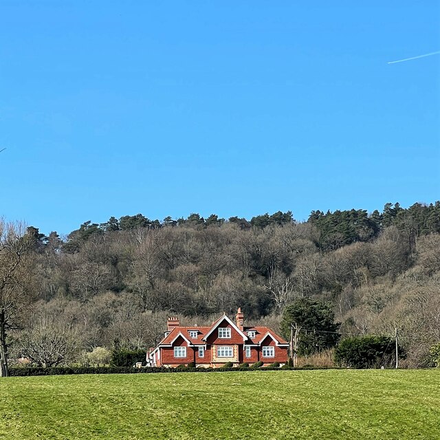
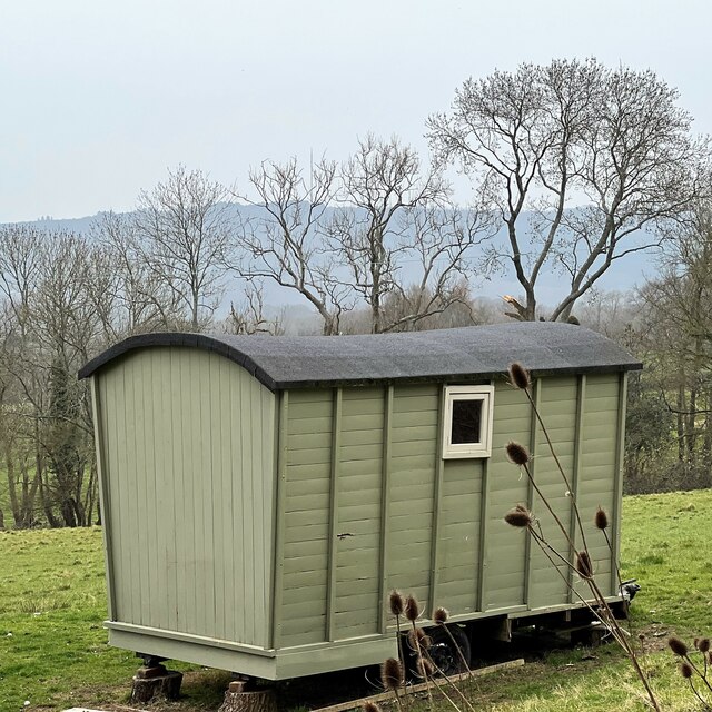
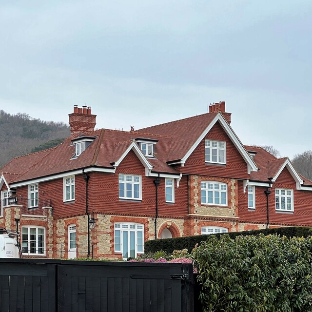
New Barn Copse Images

Images are sourced within 2km of 51.059539/-0.66782396 or Grid Reference SU9329. Thanks to Geograph Open Source API. All images are credited.

Old Milestone by UC road, Blackdown Hill The Milestone is located by the road.  Parish of Lurgashall (Chichester District). Metal plate attached to stone post, erected in the 19th Century. An earlier photograph can be found here: <a title="https://www.geograph.org.uk/photo/3912371" href="https://www.geograph.org.uk/photo/3912371">Link</a> 

Inscription reads:-   
TO / HASLEMERE / 3¼ / MILES : : TO / PETWORTH / 7 / MILES 

Milestone Society National ID: SX_PWHM07
Old Milestone by UC road, Blackdown Hill
The Milestone is located by the road.  Parish of Lurgashall (Chichester District). Metal plate attached to stone post, erected in the 19th Century. An earlier photograph can be found here: Link  Inscription reads:- TO / HASLEMERE / 3¼ / MILES : : TO / PETWORTH / 7 / MILES Milestone Society National ID: SX_PWHM07
Path junction One of the many path options on Blackdown.
Path junction
One of the many path options on Blackdown.
Pond near the Pen-y-Bos Track The curious Welsh-sounding name "Pen-y-Bos" apparently comes from the Brythonic language spoken by the ancient Britons, which was obviously related to Welsh. (cf Pen-y-ghent in Yorkshire)
Pond near the Pen-y-Bos Track
The curious Welsh-sounding name "Pen-y-Bos" apparently comes from the Brythonic language spoken by the ancient Britons, which was obviously related to Welsh. (cf Pen-y-ghent in Yorkshire)
View SW from the Pen-y-Bos Track Something was burning down in the valley - hence the smoke. The curious Welsh-sounding name "Pen-y-Bos" apparently comes from the Brythonic language spoken by the ancient Britons, which was obviously related to Welsh. (cf Pen-y-ghent in Yorkshire)
View SW from the Pen-y-Bos Track
Something was burning down in the valley - hence the smoke. The curious Welsh-sounding name "Pen-y-Bos" apparently comes from the Brythonic language spoken by the ancient Britons, which was obviously related to Welsh. (cf Pen-y-ghent in Yorkshire)
Black Down Trig Point A return visit to the trig point which marks the highest point in Sussex. For more details see <a href="https://www.geograph.org.uk/photo/6117646">SU9129 : Highest point in Sussex</a>
Black Down Trig Point
A return visit to the trig point which marks the highest point in Sussex. For more details see SU9129 : Highest point in Sussex
Temple of the Winds The viewpoint on Black Down provides stunning views across the Sussex Low Weald.
Temple of the Winds
The viewpoint on Black Down provides stunning views across the Sussex Low Weald.
Bridleway on the east side of Black Down
View SSW from the Serpent Trail
Wooded slope on the east side of Black Down
The Lodge - Blackdown Park Estate The track/drive to the left of the lodge leads up to Blackdown Farm and Blackdown House.
The Lodge - Blackdown Park Estate
The track/drive to the left of the lodge leads up to Blackdown Farm and Blackdown House.
House at Blackdown Farm Black Down is the hill behind the house. This area is the Blackdown Estate. There are several other houses near this one, though they're not visible in the photograph.
House at Blackdown Farm
Black Down is the hill behind the house. This area is the Blackdown Estate. There are several other houses near this one, though they're not visible in the photograph.
Shepherd's hut at Blackdown Farm
Home Farm "Home Farm" is the name of this house. This area is labelled "Blackdown Farm" on the OS Map. This, I assume, is all part of the Blackdown Estate. The hill behind the house is Black Down. I've uploaded another, more distant, photo of this house here: <a title="https://www.geograph.org.uk/photo/7128852" href="https://www.geograph.org.uk/photo/7128852">Link</a>
Home Farm
"Home Farm" is the name of this house. This area is labelled "Blackdown Farm" on the OS Map. This, I assume, is all part of the Blackdown Estate. The hill behind the house is Black Down. I've uploaded another, more distant, photo of this house here: Link
Bluebells by lane bend, Hillgrove
Signpost and Green, Northchapel
House by the road, Northchapel
House on Pipers Lane, Northchapel
Pipers Lane, Northchapel
Show me another place!

New Barn Copse is located at Grid Ref: SU9329 (Lat: 51.059539, Lng: -0.66782396)

Administrative County: West Sussex

District: Chichester

Police Authority: Sussex

What 3 Words

///stops.detonated.talker. Near Fernhurst, West Sussex

Related Wikis

Blackdown, West Sussex

Blackdown, or Black Down, summit elevation 279.7 metres (918 ft) AMSL, is the highest point in both the historic county of Sussex and the South Downs National...

Northchapel

Northchapel is a village and civil parish in Chichester District in West Sussex, England. It stands on the A283 road just south of the Surrey border, around...

Iberia Flight 062

Iberia Flight 062 was a twin-engined Sud Aviation Caravelle registered EC-BDD operating a scheduled flight from Málaga Airport, Spain, to London Heathrow...

Lurgashall

Lurgashall is a village and civil parish in the Chichester district of West Sussex, England, 6.5 km (4 ml) north west of Petworth, just inside the South...

North Ambersham

North Ambersham was a tithing in the Chichester district of West Sussex, England. Until 1844 North Ambersham was a detached part of Hampshire and was...

Haste Hill

Haste Hill is a hill near Haslemere, Surrey in England which was probably the original settlement of the town of Haslemere. It was used as the site of...

Shillinglee Lake

Shillinglee Lake is a 17-hectare (42-acre) biological Site of Special Scientific Interest west of Plaistow in West Sussex.The lake has been designated...

Ramster

Ramster Garden is an open garden, near Chiddingfold, Surrey, covering over 20 acres (81,000 m2). First landscaped and laid out in the 1890s by Gauntlett...

Nearby Amenities

Located within 500m of 51.059539,-0.66782396
Barrier: stile
Lat/Long: 51.0582957/-0.6711288
Rickfield Copse
Natural: wood
Source: os_street_view
Lat/Long: 51.0592795/-0.6723321
Wateredge Copse
Natural: wood
Source: os_street_view
Lat/Long: 51.0626955/-0.6630696
Barrier: stile
Lat/Long: 51.0608429/-0.6618207
Barrier: stile
Lat/Long: 51.0611351/-0.6634022
The data included in this document is from www.openstreetmap.org. The data is made available under ODbL.

Have you been to New Barn Copse?

Leave your review of New Barn Copse below (or comments, questions and feedback).