Long Copse
Wood, Forest in Surrey Waverley
England
Long Copse
Long Copse is a picturesque woodland located in the county of Surrey, England. Spanning approximately 50 acres, it is situated in a rural area near the village of Shere. The copse is characterized by its dense and diverse tree cover, primarily consisting of oak, beech, and birch trees. It forms part of the larger Surrey Hills Area of Outstanding Natural Beauty, attracting nature enthusiasts and hikers from near and far.
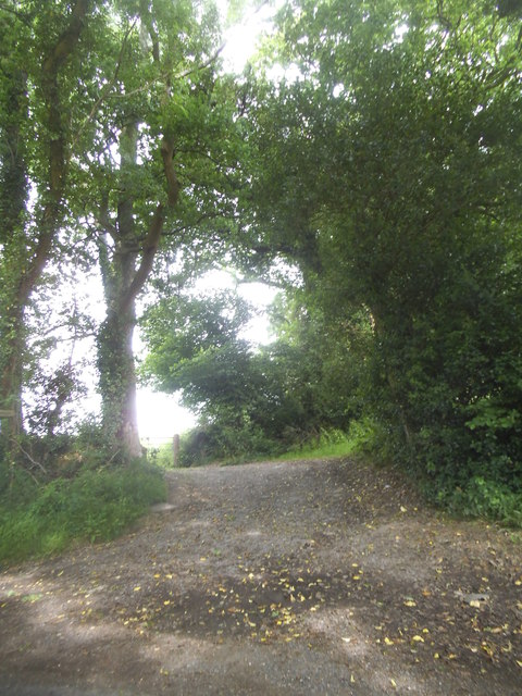
The woodland features a well-maintained network of paths and trails, allowing visitors to explore its natural beauty at their own pace. These paths meander through the wood, providing opportunities to spot wildlife such as deer, foxes, and a variety of bird species. Long Copse is particularly renowned for its vibrant bluebell displays in the spring, transforming the forest floor into a breathtaking carpet of blue.
In addition to its natural charm, Long Copse offers a peaceful and serene environment, providing a perfect escape from the hustle and bustle of daily life. The tranquil atmosphere and stunning views make it an ideal location for picnics, photography, and simply taking in the beauty of nature.
Long Copse is easily accessible by car, with a small parking area available for visitors. It is also connected to the wider network of footpaths and bridleways in the Surrey Hills, offering opportunities for longer walks and exploration of the surrounding countryside.
Overall, Long Copse is a haven of natural beauty, offering a diverse and enchanting woodland experience for those seeking solace in Surrey's stunning countryside.
If you have any feedback on the listing, please let us know in the comments section below.
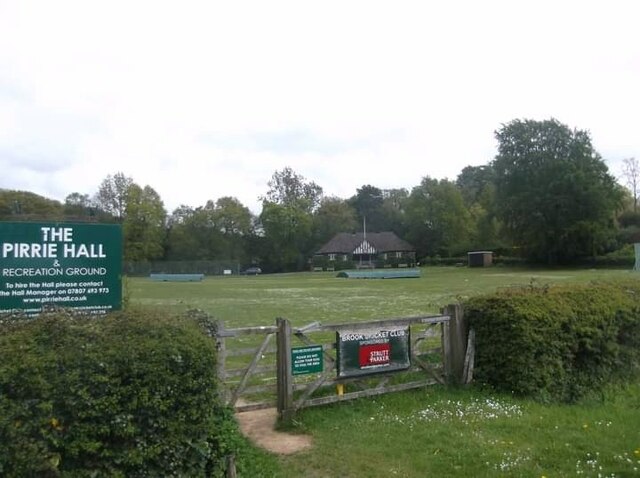
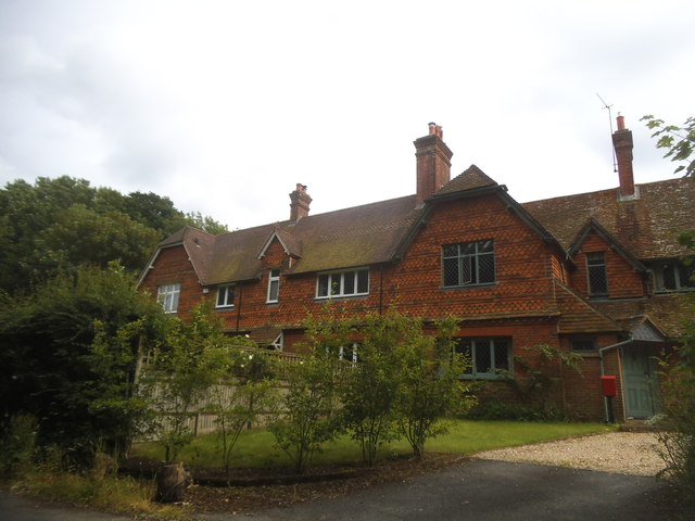
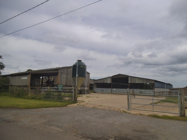
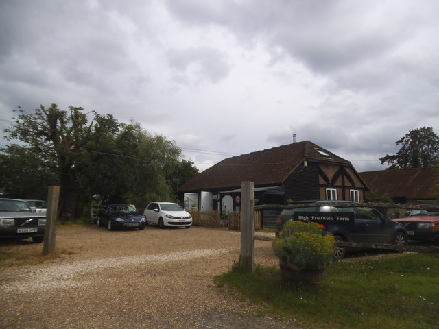
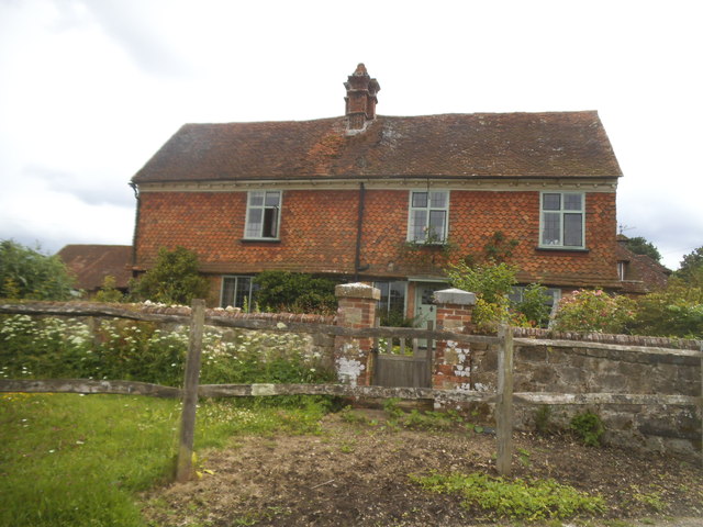
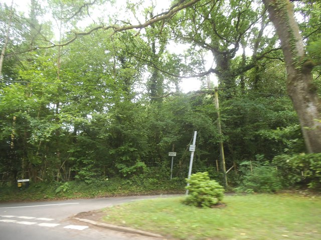
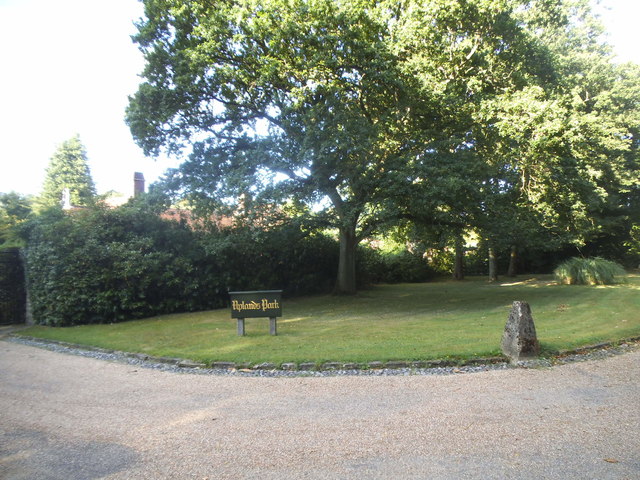
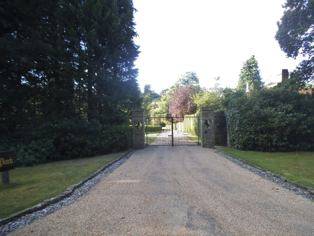
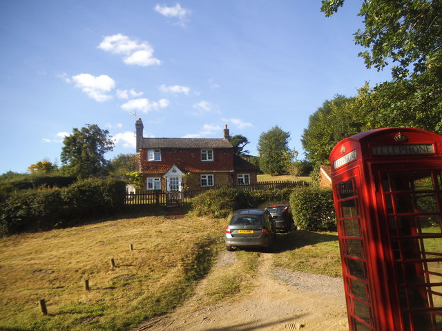
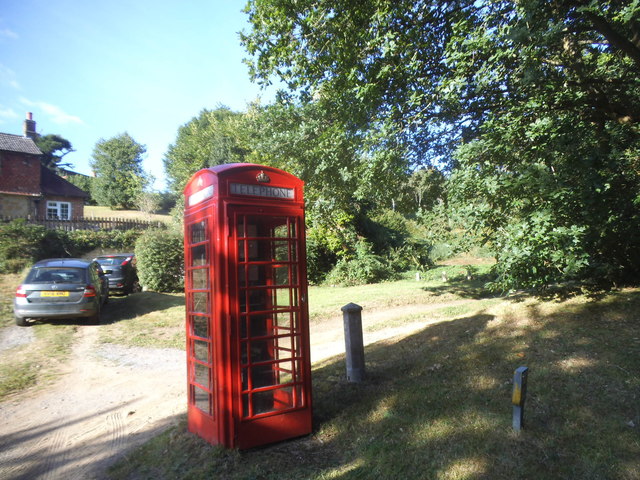
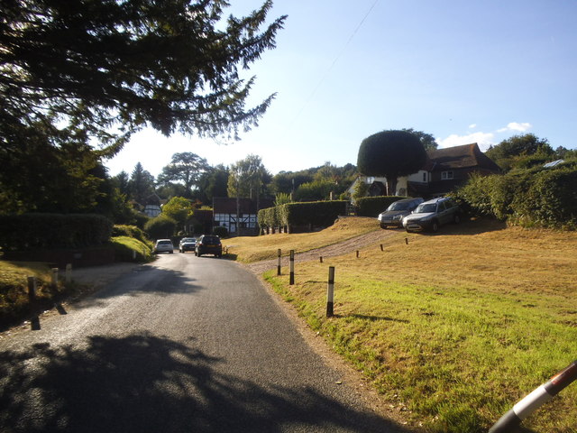
Long Copse Images
Images are sourced within 2km of 51.123979/-0.66691447 or Grid Reference SU9336. Thanks to Geograph Open Source API. All images are credited.


Long Copse is located at Grid Ref: SU9336 (Lat: 51.123979, Lng: -0.66691447)
Administrative County: Surrey
District: Waverley
Police Authority: Surrey
What 3 Words
///planet.cement.influencing. Near Wormley, Surrey
Nearby Locations
Related Wikis

Brook Brick Pit
Brook Brick Pit is a 0.9-hectare (2.2-acre) geological Site of Special Scientific Interest west of Wormley Surrey. It is a Geological Conservation Review...
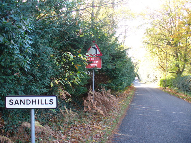
Sandhills, Surrey
Sandhills is a small hamlet located between the villages of Wormley and Brook in Surrey, UK. It is part of the Surrey Hills Area of Outstanding Beauty...

Brook, Surrey
Brook is a hamlet in the civil parish of Witley in the Waverley district in south-west Surrey. It is in the far west of Wormley, beyond Sandhills with...

Witley railway station
Witley railway station is a station on the Portsmouth Direct Line in Surrey, England. It is 38 miles 36 chains (61.9 km) down the line from London Waterloo...

Wormley, Surrey
Wormley is a village in Surrey, England in the parish of Witley, around Witley station, off the A283 Petworth Road about 5 km (3.1 mi) SSW of Godalming...

King Edward's School, Witley
King Edward's Witley is a private co-educational boarding and day school, founded in 1553 by King Edward VI and Nicholas Ridley, Bishop of London and Westminster...

Tigbourne Court
Tigbourne Court is an Arts and Crafts style country house in Wormley, Surrey, England, 1 mile (1.6 km) south of Witley. It was designed by architect Edwin...

All Saints' Church, Grayswood
All Saints' Church is an active parish church in the village of Grayswood, Surrey, England. The church stands in the centre of the village and was built...
Nearby Amenities
Located within 500m of 51.123979,-0.66691447Have you been to Long Copse?
Leave your review of Long Copse below (or comments, questions and feedback).