Nether Laundimer Wood
Wood, Forest in Northamptonshire
England
Nether Laundimer Wood

Nether Laundimer Wood is a picturesque woodland located in the county of Northamptonshire, England. Covering an area of approximately 50 acres, it is a popular destination for nature enthusiasts and outdoor lovers. The wood is situated near the village of Nether Laundimer, offering a peaceful and serene environment for visitors to enjoy.
The wood is primarily made up of broadleaf trees, including oak, beech, and ash, creating a diverse and vibrant ecosystem. The dense canopy provides ample shade, allowing for the growth of a variety of flora and fauna. Bluebells, wild garlic, and wood anemones are just some of the wildflowers that can be found carpeting the forest floor during springtime.
Several walking trails wind their way through the wood, offering visitors the opportunity to explore its beauty at their own pace. The paths are well-maintained and clearly marked, making it easy for hikers and nature lovers to navigate their way through the wood. Along the trails, visitors may encounter a range of wildlife, including deer, foxes, and a variety of bird species.
Nether Laundimer Wood is also home to a small pond, which acts as a watering hole for wildlife and adds to the overall charm of the woodland. This tranquil spot provides a perfect spot for visitors to sit and observe the natural surroundings.
Overall, Nether Laundimer Wood is a captivating woodland that offers a peaceful escape from the hustle and bustle of everyday life. Its diverse flora and fauna, well-maintained trails, and serene atmosphere make it a must-visit destination for nature enthusiasts and those seeking a connection with the natural world.
If you have any feedback on the listing, please let us know in the comments section below.
Nether Laundimer Wood Images
Images are sourced within 2km of 52.471575/-0.62856106 or Grid Reference SP9386. Thanks to Geograph Open Source API. All images are credited.


Nether Laundimer Wood is located at Grid Ref: SP9386 (Lat: 52.471575, Lng: -0.62856106)
Unitary Authority: North Northamptonshire
Police Authority: Northamptonshire
What 3 Words
///weedy.lakes.outer. Near Brigstock, Northamptonshire
Nearby Locations
Related Wikis
Cowthick Quarry
Cowthick Quarry is a 1.4-hectare (3.5-acre) geological Site of Special Scientific Interest east of Corby in Northamptonshire.This site exposes Middle Jurassic...
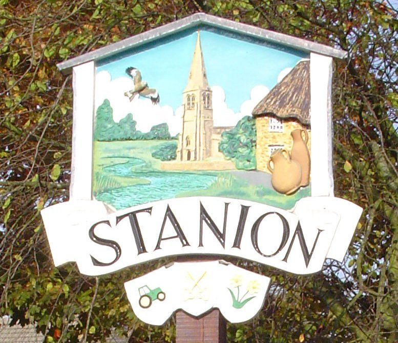
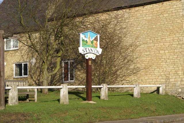
Stanion
Stanion is a village and civil parish in North Northamptonshire, England. At the time of 2001 census, the parish's population was 873 people, increasing...

Brigstock
Brigstock is a village and civil parish in the English county of Northamptonshire. Administratively it is part of North Northamptonshire. From 2001 to...
A427 road
The A427 road is a major road in the English Midlands. It connects the Leicestershire town of Market Harborough and the A6 with the Northamptonshire town...
Have you been to Nether Laundimer Wood?
Leave your review of Nether Laundimer Wood below (or comments, questions and feedback).