Charle Wood
Wood, Forest in Bedfordshire
England
Charle Wood
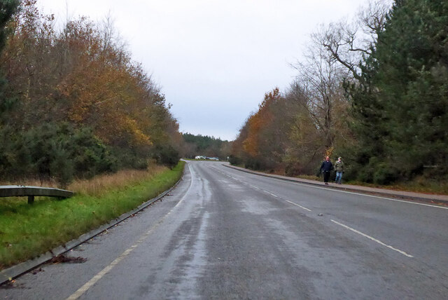
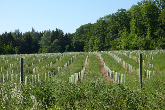
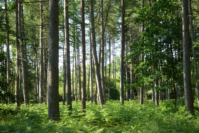
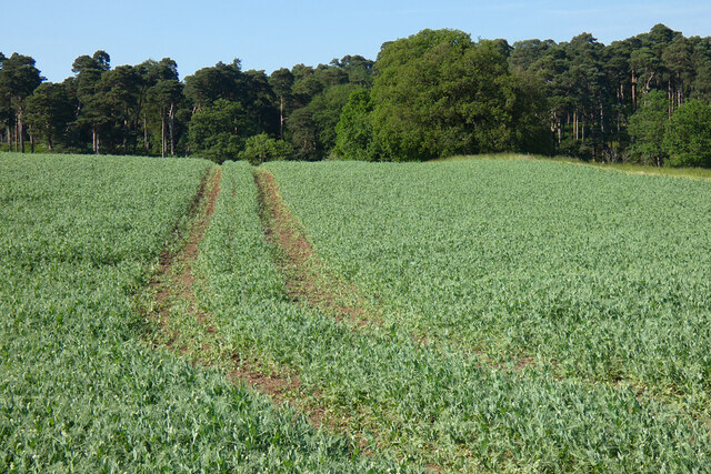
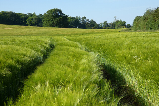
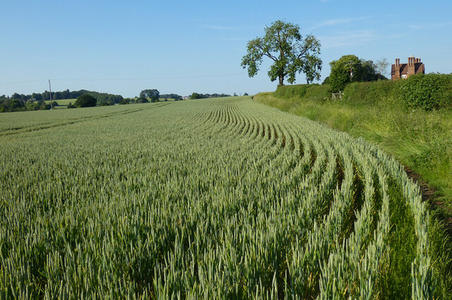
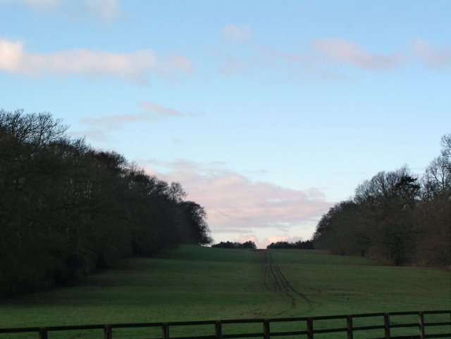
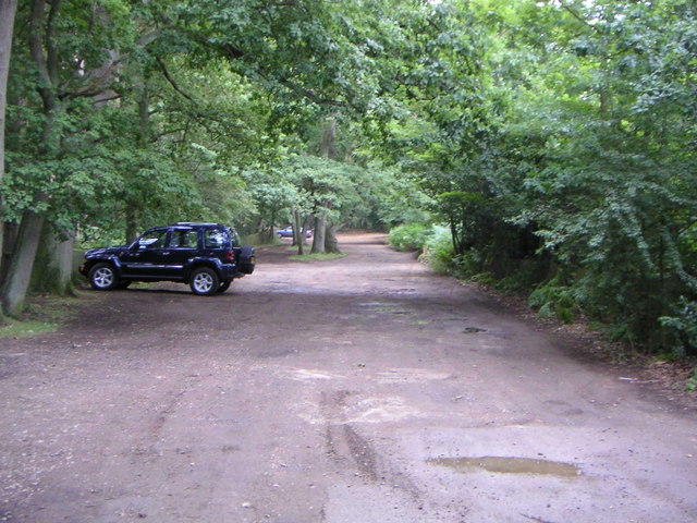
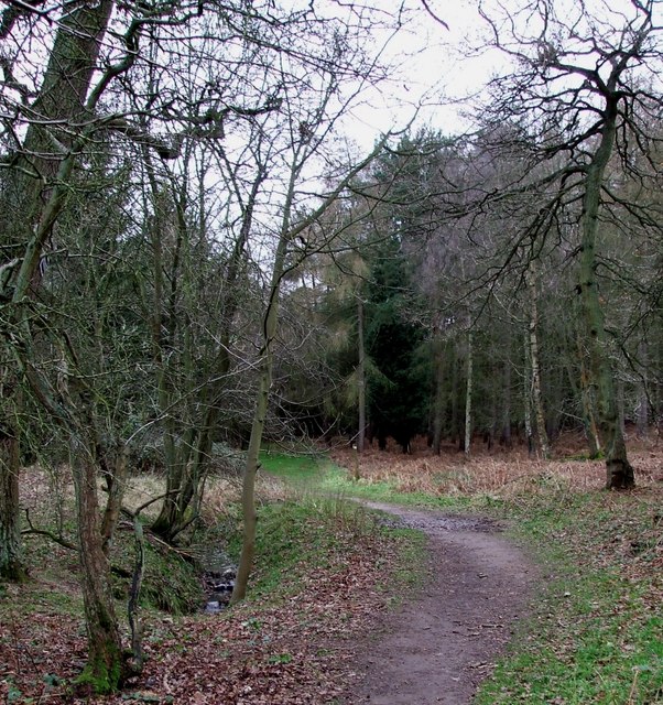
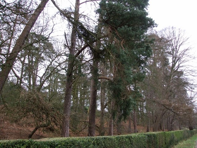
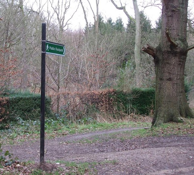
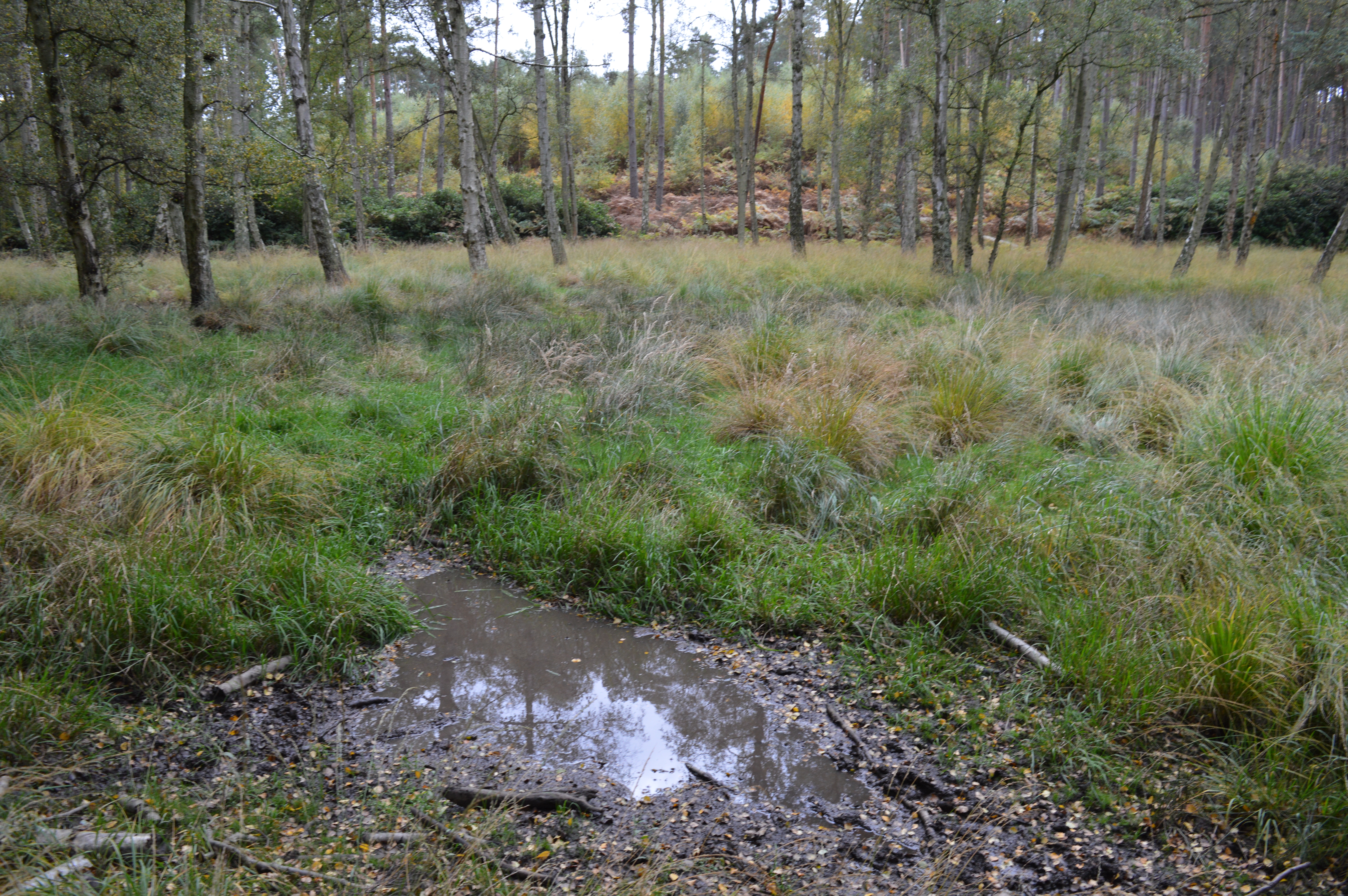
Charle Wood is a small forest located in Bedfordshire, England. Covering an area of approximately 300 acres, the woodland is a popular destination for nature lovers and outdoor enthusiasts. The forest is characterized by a diverse range of trees, including oak, ash, birch, and beech, creating a lush and vibrant environment.
Charle Wood is home to a variety of wildlife, including deer, squirrels, birds, and insects. Visitors may spot these animals while walking along the forest's network of trails, which offer stunning views of the surrounding countryside. The woodland is also known for its peaceful atmosphere, making it a perfect place for a relaxing stroll or a quiet picnic.
In addition to its natural beauty, Charle Wood has a rich history dating back hundreds of years. The forest has been used for various purposes over the centuries, including timber production, hunting, and recreational activities. Today, it is managed by the local authorities to ensure its preservation and protection for future generations to enjoy.
Overall, Charle Wood is a picturesque and tranquil destination that offers a glimpse into Bedfordshire's natural heritage. Whether you are looking for a peaceful retreat or a place to explore the great outdoors, this forest has something to offer for everyone.
If you have any feedback on the listing, please let us know in the comments section below.
Charle Wood Images
Images are sourced within 2km of 51.988886/-0.64409712 or Grid Reference SP9333. Thanks to Geograph Open Source API. All images are credited.
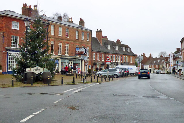
![The Bell, Woburn Public house on Bedford Street [B5704], the main road through the village.](https://s1.geograph.org.uk/geophotos/07/68/02/7680205_9911af22.jpg)
Charle Wood is located at Grid Ref: SP9333 (Lat: 51.988886, Lng: -0.64409712)
Unitary Authority: Central Bedfordshire
Police Authority: Bedfordshire
What 3 Words
///pothole.blatantly.trap. Near Woburn, Bedfordshire
Nearby Locations
Related Wikis
Wavendon Heath Ponds
Wavendon Heath Ponds is a 4.7-hectare (12-acre) biological Site of Special Scientific Interest in Aspley Heath in Bedfordshire. It was notified in 1986...

Woburn Cottage Hospital
Woburn Cottage Hospital was a hospital in Woburn, Bedfordshire, England. == History == Mary, the Duchess of Bedford (1865–1937) developed an interest in...

2016 Women's British Open
The 2016 Ricoh Women's British Open was played 28–31 July in England at the Woburn Golf and Country Club near Milton Keynes, Buckinghamshire, northwest...
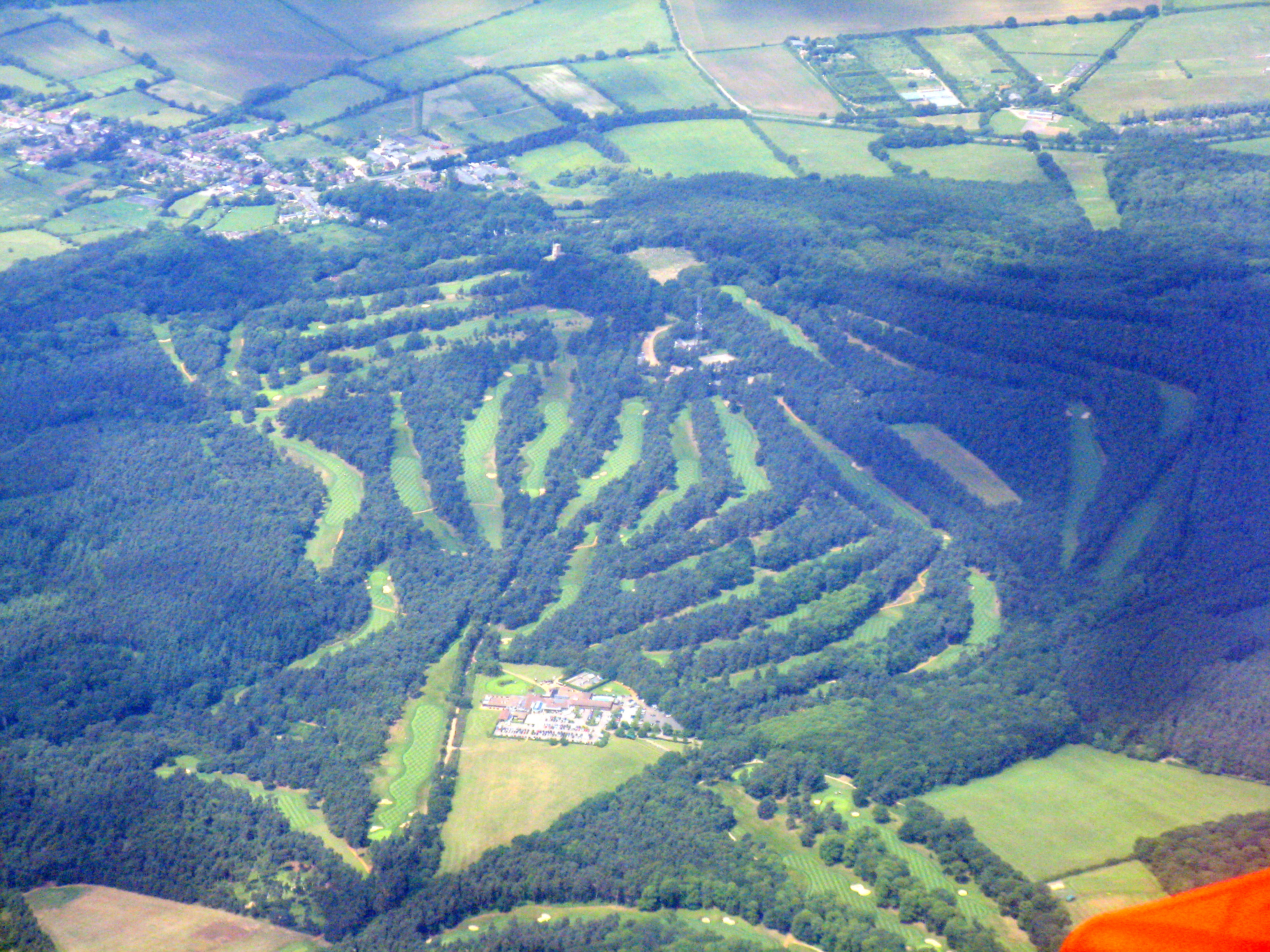
Woburn Golf and Country Club
Woburn Golf Club is a golf club in England located in Little Brickhill, near Milton Keynes within the county of Bedfordshire, about fifty miles (80 km...
Nearby Amenities
Located within 500m of 51.988886,-0.64409712Have you been to Charle Wood?
Leave your review of Charle Wood below (or comments, questions and feedback).