Grove Plantations

Wood, Forest in Lincolnshire South Kesteven

England

Grove Plantations

Stag Inn, Barkston At the junction of Church Street and the A607
Stag Inn, Barkston Credit: Eirian Evans

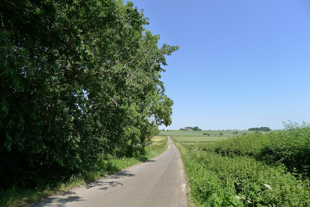
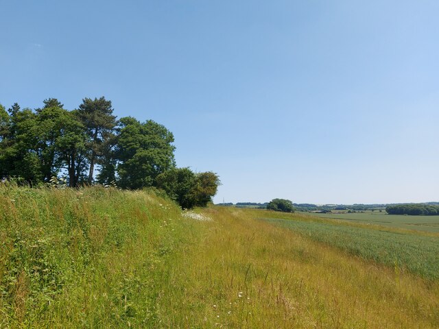
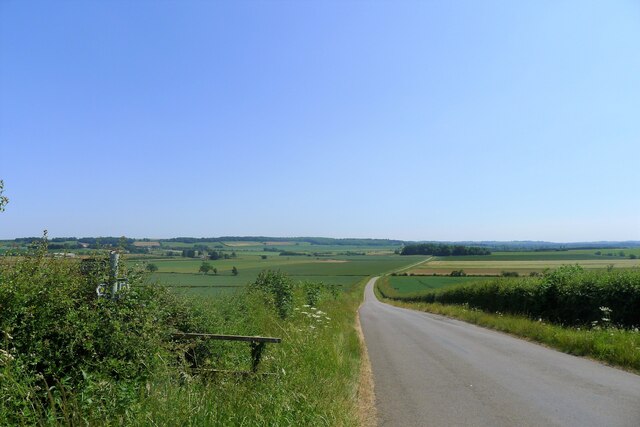
Grove Plantations is a renowned woodland area located in Lincolnshire, England. It is a spectacular natural reserve that covers a vast area of dense forest and is home to a diverse range of plant and animal species. The plantation is situated in the heart of the county, providing a tranquil escape from the bustling city life.

This woodland area is known for its breathtaking beauty, with majestic oak, beech, and pine trees towering over the landscape. The forest floor is covered with a rich carpet of mosses, ferns, and wildflowers, creating a picturesque setting for nature enthusiasts and photographers.

Grove Plantations is a haven for wildlife, hosting a wide variety of creatures. Deer, foxes, and rabbits can often be spotted roaming freely, while birds such as woodpeckers, owls, and jays fill the air with their melodious songs. The plantation also boasts a diverse range of insects, including butterflies and beetles, adding to the ecosystem's overall biodiversity.

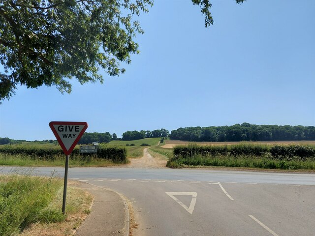
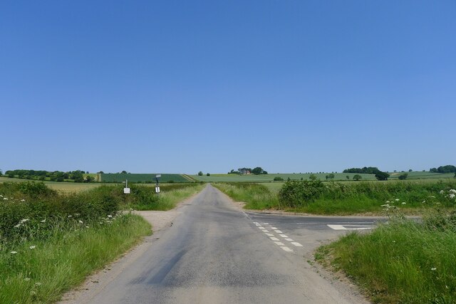
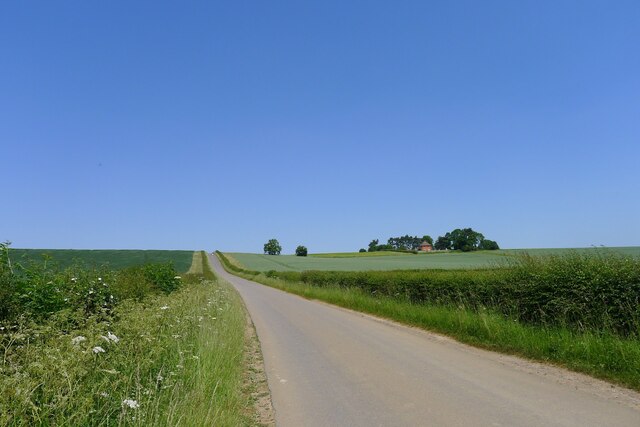
Visitors can explore Grove Plantations through a network of well-maintained trails and paths. These trails offer stunning views of the woodland and provide an opportunity for hiking, cycling, and nature walks. The plantation is open to the public year-round, and visitors can enjoy picnicking, birdwatching, or simply immersing themselves in the peacefulness of the surroundings.

Grove Plantations is not only a recreational destination but also an important site for conservation efforts. The plantation is actively managed to preserve its natural ecological balance and protect its unique flora and fauna.

Overall, Grove Plantations in Lincolnshire is a captivating woodland that offers a serene and enchanting experience for nature lovers, making it an ideal destination for outdoor enthusiasts and those seeking solace in the lap of nature.

If you have any feedback on the listing, please let us know in the comments section below.

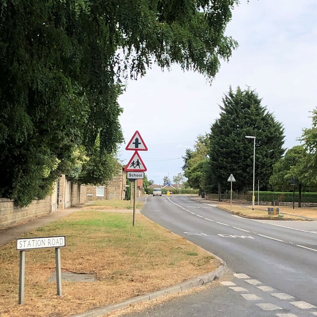
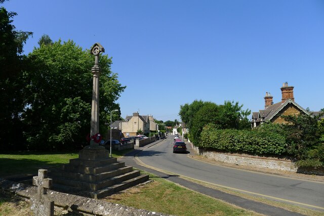
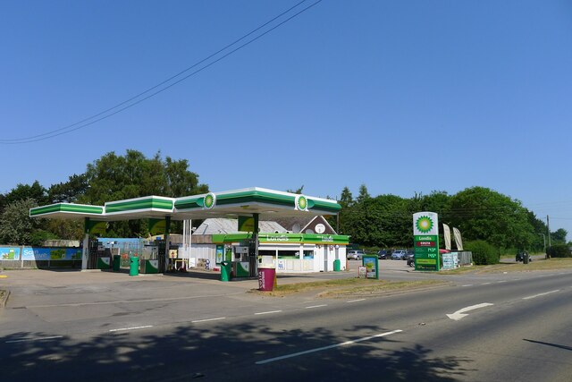
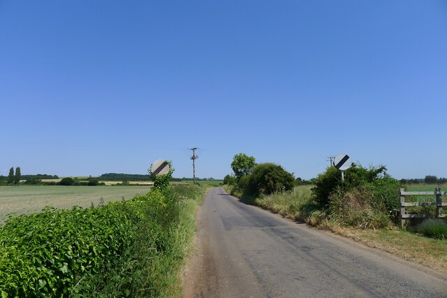
Grove Plantations Images

Images are sourced within 2km of 52.979642/-0.61538839 or Grid Reference SK9343. Thanks to Geograph Open Source API. All images are credited.

Stag Inn, Barkston At the junction of Church Street and the A607
Stag Inn, Barkston
At the junction of Church Street and the A607
The main road through Barkston
Church of St Nicholas, Barkston Listed Grade I. "Norman to Perpendicular church. Mainly of 12th century date, of which tower with 14th century spire and south arcade remain, with 14th and 15th century alterations" <span class="nowrap"><a title="https://heritage-explorer.lincolnshire.gov.uk/Monument/MLI30411" rel="nofollow ugc noopener" href="https://heritage-explorer.lincolnshire.gov.uk/Monument/MLI30411">Link</a><img style="margin-left:2px;" alt="External link" title="External link - shift click to open in new window" src="https://s1.geograph.org.uk/img/external.png" width="10" height="10"/></span>
Church of St Nicholas, Barkston
Listed Grade I. "Norman to Perpendicular church. Mainly of 12th century date, of which tower with 14th century spire and south arcade remain, with 14th and 15th century alterations" LinkExternal link
War Memorial and Church Street, Barkston The memorial commemorates ten men of Barkston who fell in the 1st World War, and the one man who died in the 2nd World War <span class="nowrap"><a title="http://www.roll-of-honour.com/Lincolnshire/Barkston.html" rel="nofollow ugc noopener" href="http://www.roll-of-honour.com/Lincolnshire/Barkston.html">Link</a><img style="margin-left:2px;" alt="External link" title="External link - shift click to open in new window" src="https://s1.geograph.org.uk/img/external.png" width="10" height="10"/></span>
War Memorial and Church Street, Barkston
The memorial commemorates ten men of Barkston who fell in the 1st World War, and the one man who died in the 2nd World War LinkExternal link
Service station on the A607 through Barkston The Londis brand is now part of Tescos
Service station on the A607 through Barkston
The Londis brand is now part of Tescos
Hough Road leading north from Barkston Start of a pleasant cycle run towards Hough-on-the-Hill
Hough Road leading north from Barkston
Start of a pleasant cycle run towards Hough-on-the-Hill
Hough Lane Level Crossing Crossing the 'Poacher Line' running from Grantham to Skegness via Sleaford and Boston. The crossing is signed Hough Lane, OS map calls this Hough Road
Hough Lane Level Crossing
Crossing the 'Poacher Line' running from Grantham to Skegness via Sleaford and Boston. The crossing is signed Hough Lane, OS map calls this Hough Road
Hough Road from the north side of Grove Plantations
Church of St Wilfred, Honington Listed Grade I, from the 11th century.
Church of St Wilfred, Honington
Listed Grade I, from the 11th century.
Main Street leaving the south side of Honington
Main Street, Honington, joining the A607 Across the road a Restricted Byway, Heath Lane, climbs up the escarpment of  Lincolnshire limestone known as the 'Lincoln Cliff'
Main Street, Honington, joining the A607
Across the road a Restricted Byway, Heath Lane, climbs up the escarpment of Lincolnshire limestone known as the 'Lincoln Cliff'
Frinkley Lane crossing Hough Road The Viking Way comes down Hough Road from the north (ahead), and turns left along Frinkley Lane
Frinkley Lane crossing Hough Road
The Viking Way comes down Hough Road from the north (ahead), and turns left along Frinkley Lane
Hough Road rising up to the Red House ridge Rising from Jurassic mudstones in the valley of Honington Beck to a ridge of harder sandstones and ironstones <span class="nowrap"><a title="https://geologyviewer.bgs.ac.uk/" rel="nofollow ugc noopener" href="https://geologyviewer.bgs.ac.uk/">Link</a><img style="margin-left:2px;" alt="External link" title="External link - shift click to open in new window" src="https://s1.geograph.org.uk/img/external.png" width="10" height="10"/></span>
Hough Road rising up to the Red House ridge
Rising from Jurassic mudstones in the valley of Honington Beck to a ridge of harder sandstones and ironstones LinkExternal link
Footpath running along the ridge below The Red House The footpath runs to Carlton Scroop. It is probably little used as Howdale Lane immediately to the north offers an easier traffic-free route
Footpath running along the ridge below The Red House
The footpath runs to Carlton Scroop. It is probably little used as Howdale Lane immediately to the north offers an easier traffic-free route
Howdale Lane east of Belle Vue Farm Taking the Viking Way east to Carlton Scroop
Howdale Lane east of Belle Vue Farm
Taking the Viking Way east to Carlton Scroop
Howdale Lane Taking the Viking Way west to Hough Road
Howdale Lane
Taking the Viking Way west to Hough Road
Hough Road, looking south from Carlton Ashes The road carries the Viking Way. The footpath to the left goes to Carlton Scroop
Hough Road, looking south from Carlton Ashes
The road carries the Viking Way. The footpath to the left goes to Carlton Scroop
Church Street in Barkston The Church of St Nicholas can also be seen here.
Church Street in Barkston
The Church of St Nicholas can also be seen here.
Show me another place!

Grove Plantations is located at Grid Ref: SK9343 (Lat: 52.979642, Lng: -0.61538839)

Administrative County: Lincolnshire

District: South Kesteven

Police Authority: Lincolnshire

What 3 Words

///washroom.seaside.again. Near Caythorpe, Lincolnshire

Nearby Locations

Grove Plantations

Related Wikis

Honington railway station

Honington railway station was a station in the village of Honington, Lincolnshire. It was located on junction with the line Grantham and Lincoln railway...

Honington, Lincolnshire

Honington is an English village and civil parish in the South Kesteven district of Lincolnshire. It lies just north of the junction between the A153 and...

Barkston

Barkston is an English village and civil parish in the South Kesteven district of Lincolnshire. The parish population was 497 at the 2001 census and 493...

Carlton Scroop

Carlton Scroop is a small village and civil parish in the South Kesteven district of Lincolnshire, England. The population of the civil parish (including...

Nearby Amenities

Located within 500m of 52.979642,-0.61538839
Railway: level_crossing
Lat/Long: 52.9751999/-0.6143204
Railway: level_crossing
Lat/Long: 52.9752536/-0.614278
The data included in this document is from www.openstreetmap.org. The data is made available under ODbL.

Have you been to Grove Plantations?

Leave your review of Grove Plantations below (or comments, questions and feedback).