Frillinghurst Wood

Wood, Forest in Surrey Waverley

England

Frillinghurst Wood

Renovations underway at The Wheatsheaf
Renovations underway at The Wheatsheaf Credit: Basher Eyre

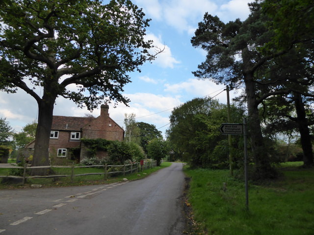
Frillinghurst Wood, located in Surrey, England, is a picturesque woodland area encompassing approximately 50 hectares. It is nestled within the rural countryside, making it an ideal destination for nature enthusiasts and outdoor lovers. The wood is characterized by its diverse range of flora and fauna, offering visitors an immersive experience in a tranquil and serene environment.

The wood is predominantly composed of broadleaf trees, including oak, beech, and birch, which create a dense canopy and provide shelter for a variety of wildlife. Underneath the towering trees, one can find a rich undergrowth of ferns, bluebells, and wild garlic, adding to the wood's natural beauty. Frillinghurst Wood is also home to several small ponds and streams, contributing to the overall biodiversity of the area.

Numerous walking trails meander through the wood, allowing visitors to explore its natural wonders at their own pace. These paths are well-maintained and provide access to different sections of the wood, showcasing its diverse habitats and scenic vistas. Birdwatchers can spot a range of avian species, including woodpeckers, finches, and owls, while small mammals such as deer, badgers, and foxes can also be encountered in the wood.

Frillinghurst Wood offers a peaceful retreat from the hustle and bustle of everyday life, providing an opportunity for visitors to connect with nature and appreciate the beauty of the Surrey countryside. With its stunning landscapes, abundant wildlife, and well-maintained trails, it is a must-visit destination for nature lovers seeking a tranquil escape.

If you have any feedback on the listing, please let us know in the comments section below.

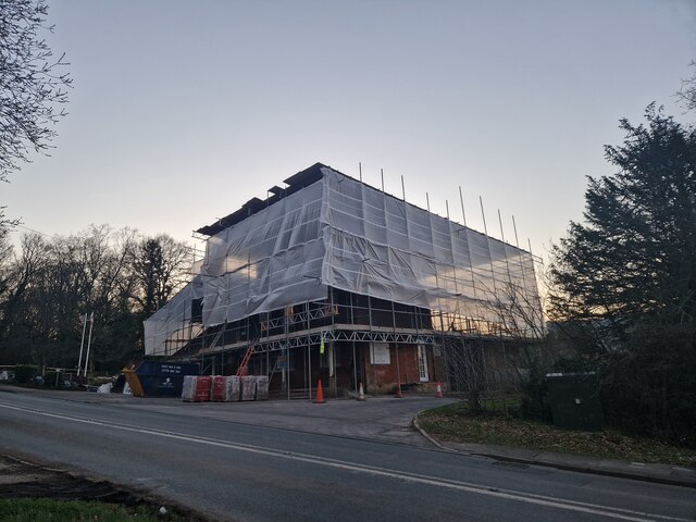
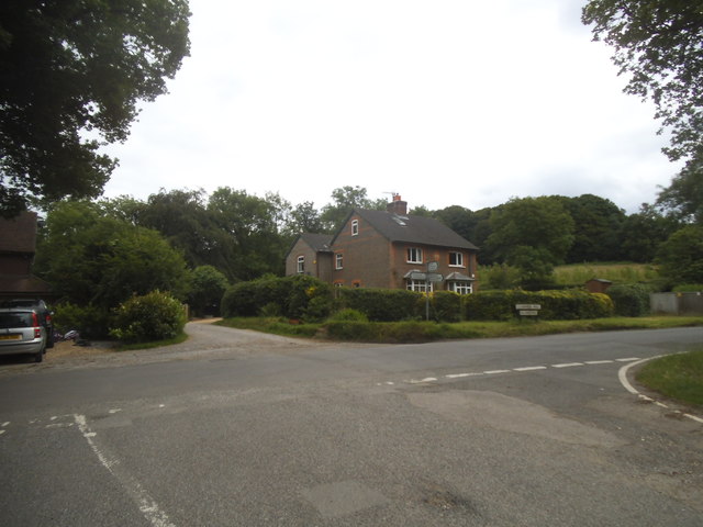
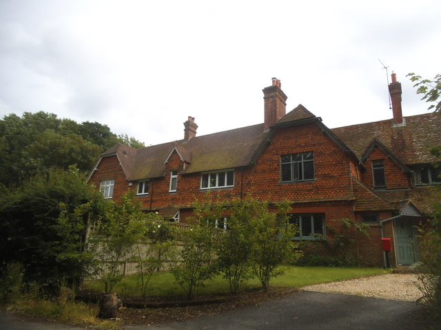
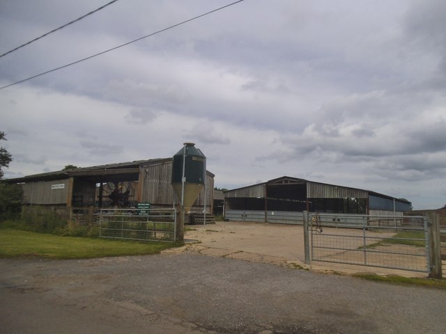
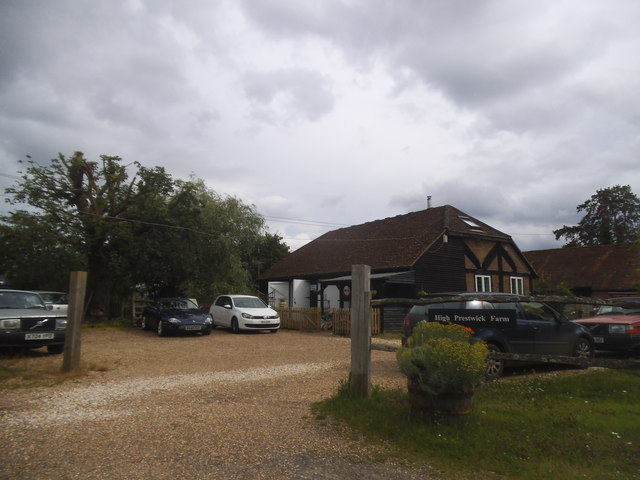
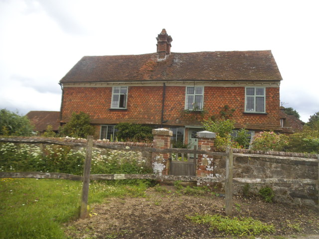
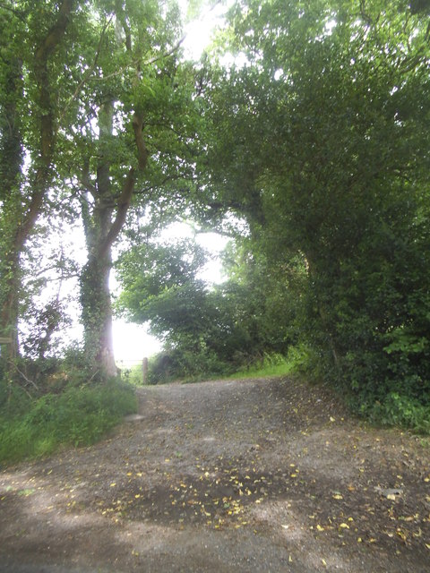
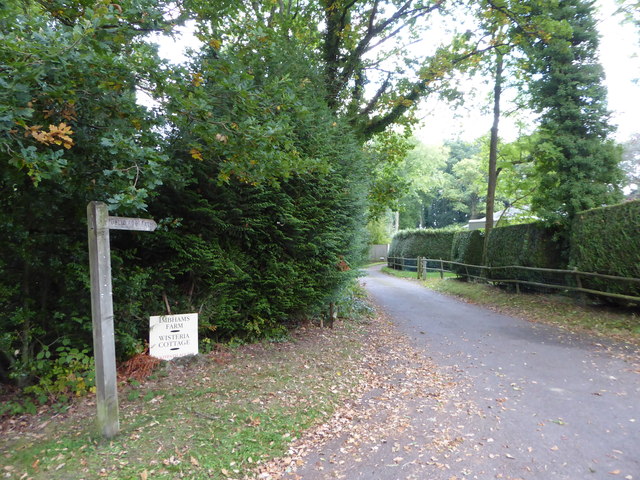
Frillinghurst Wood Images

Images are sourced within 2km of 51.101466/-0.67283237 or Grid Reference SU9334. Thanks to Geograph Open Source API. All images are credited.

Renovations underway at The Wheatsheaf
Grayswood Common
Grayswood Common
Lower Road at the junction of Clammer Hill
Houses on Prestwick Lane, Grayswood
Prestwick Farm, Grayswood
High Prestwick Farm, Grayswood
High Prestwick Farmhouse, Grayswood
Path to Langhurst Manor
Exploring eastwards  along the Bashire (1) The junction of Three Gates and Holdfast Lanes
Running total: 20 B points
Exploring eastwards along the Bashire (1)
The junction of Three Gates and Holdfast Lanes Running total: 20 B points
Exploring eastwards  along the Bashire (2) Footpath begins from Holdfast Lane and Imbhams Farm
Running total: 21 B points
Exploring eastwards along the Bashire (2)
Footpath begins from Holdfast Lane and Imbhams Farm Running total: 21 B points
Exploring eastwards along the Bashire (3) Rush hour in Killinghurst
Running total: 22 B points
Exploring eastwards along the Bashire (3)
Rush hour in Killinghurst Running total: 22 B points
Grayswood Church All Saints, a late Victorian church north of Haslemere.
Grayswood Church
All Saints, a late Victorian church north of Haslemere.
Stop Look Listen Sound advice at Grayswood where a footpath crosses the London-Portsmouth railway line.
Stop Look Listen
Sound advice at Grayswood where a footpath crosses the London-Portsmouth railway line.
The Mount in Grayswood Looking south-eastward.
The Mount in Grayswood
Looking south-eastward.
A286 The A286 is a 32 mile long road between Birdham and Milford.
<span class="nowrap"><a title="http://www.sabre-roads.org.uk/wiki/index.php?title=A286" rel="nofollow ugc noopener" href="http://www.sabre-roads.org.uk/wiki/index.php?title=A286">Link</a><img style="margin-left:2px;" alt="External link" title="External link - shift click to open in new window" src="https://s1.geograph.org.uk/img/external.png" width="10" height="10"/></span>
A286
The A286 is a 32 mile long road between Birdham and Milford. LinkExternal link
Church of All Saints'
Railway Bridge, A286 The A286 is a 32 mile long road between Birdham and Milford.
<span class="nowrap"><a title="http://www.sabre-roads.org.uk/wiki/index.php?title=A286" rel="nofollow ugc noopener" href="http://www.sabre-roads.org.uk/wiki/index.php?title=A286">Link</a><img style="margin-left:2px;" alt="External link" title="External link - shift click to open in new window" src="https://s1.geograph.org.uk/img/external.png" width="10" height="10"/></span>
Railway Bridge, A286
The A286 is a 32 mile long road between Birdham and Milford. LinkExternal link
Show me another place!

Frillinghurst Wood is located at Grid Ref: SU9334 (Lat: 51.101466, Lng: -0.67283237)

Administrative County: Surrey

District: Waverley

Police Authority: Surrey

What 3 Words

///revision.ditching.limelight. Near Haslemere, Surrey

Nearby Locations

Frillinghurst Wood

Related Wikis

Netherside Stream Outcrops

Netherside Stream Outcrops is a 2.9-hectare (7.2-acre) geological Site of Special Scientific Interest north-east of Haslemere in Surrey. It is a Geological...

All Saints' Church, Grayswood

All Saints' Church is an active parish church in the village of Grayswood, Surrey, England. The church stands in the centre of the village and was built...

Ramsnest Common

Ramsnest Common is a hamlet in the far south of the Borough of Waverley, the largest district of Surrey, England centred on the A283 1.5 miles (2.4 km...

Ramster

Ramster Garden is an open garden, near Chiddingfold, Surrey, covering over 20 acres (81,000 m2). First landscaped and laid out in the 1890s by Gauntlett...

Nearby Amenities

Located within 500m of 51.101466,-0.67283237
Barrier: stile
Lat/Long: 51.1035225/-0.677719
Barrier: stile
Lat/Long: 51.1056/-0.6744538
Barrier: stile
Lat/Long: 51.104613/-0.670158
Barrier: stile
Lat/Long: 51.1014874/-0.6674798
Barrier: stile
Lat/Long: 51.1021451/-0.6679655
Ford: yes
Lat/Long: 51.0992121/-0.671173
The data included in this document is from www.openstreetmap.org. The data is made available under ODbL.

Have you been to Frillinghurst Wood?

Leave your review of Frillinghurst Wood below (or comments, questions and feedback).