Fowlshatch Copse
Wood, Forest in Surrey Waverley
England
Fowlshatch Copse

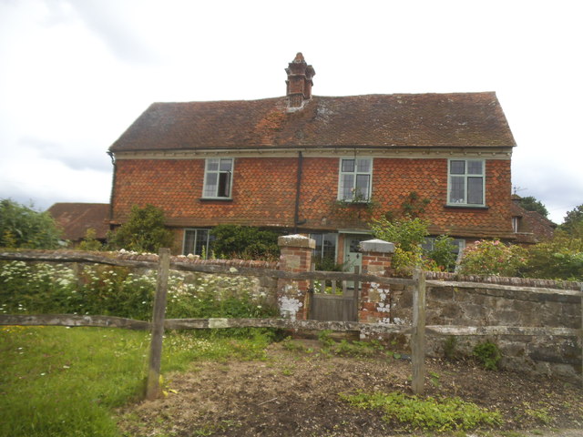
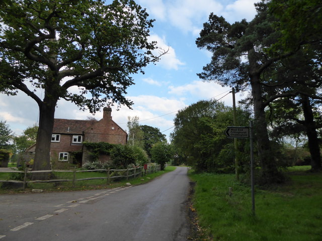
Fowlshatch Copse is a charming woodland area located in Surrey, England. Situated near the village of Ockley, this copse is known for its natural beauty and tranquil atmosphere. Covering an area of approximately 50 acres, Fowlshatch Copse is a haven for nature enthusiasts and those seeking a peaceful retreat.
The copse is predominantly made up of broadleaf trees, including oak, beech, and birch. These trees create a dense canopy that provides shade and shelter for a variety of wildlife. The forest floor is covered in a thick layer of moss, ferns, and bluebells, adding to the copse's enchanting appeal.
Wildlife thrives in Fowlshatch Copse, making it a popular spot for birdwatchers and nature photographers. Visitors may catch glimpses of various bird species, including woodpeckers, owls, and songbirds. Squirrels and rabbits can also be spotted, scurrying among the trees.
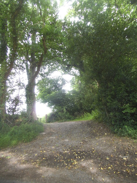
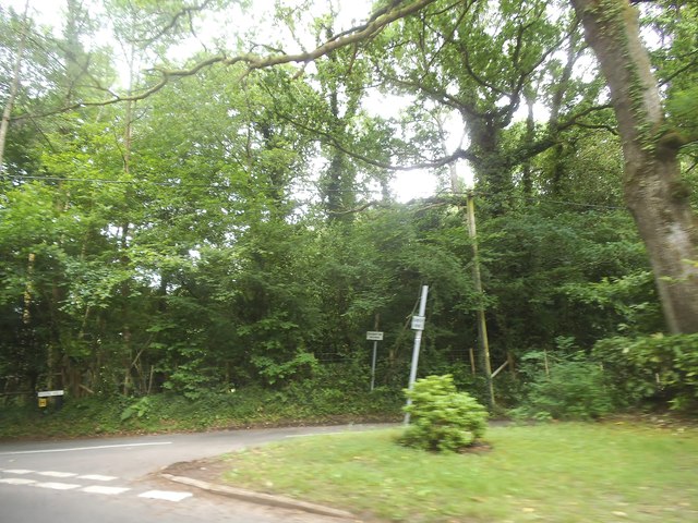
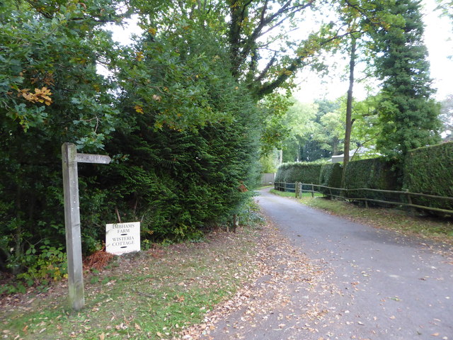
Paths wind through the copse, allowing visitors to explore its natural wonders at their own pace. These trails are well-maintained and easy to navigate, making Fowlshatch Copse accessible to people of all ages and abilities. Along the way, benches and picnic areas provide opportunities to rest and soak in the peaceful surroundings.
Fowlshatch Copse is open to the public year-round and offers a serene escape from the hustle and bustle of daily life. Whether it's for a leisurely stroll, a family picnic, or a birdwatching adventure, this enchanting woodland is sure to captivate all who visit.
If you have any feedback on the listing, please let us know in the comments section below.
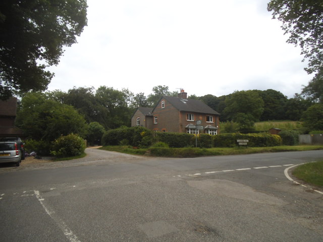
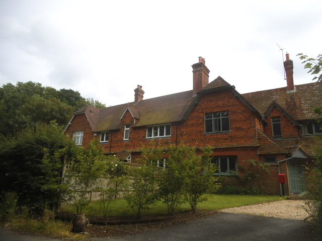
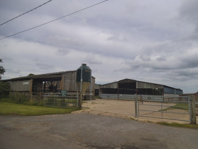
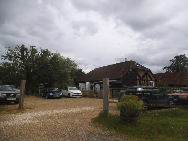
Fowlshatch Copse Images
Images are sourced within 2km of 51.107148/-0.6782549 or Grid Reference SU9235. Thanks to Geograph Open Source API. All images are credited.


Fowlshatch Copse is located at Grid Ref: SU9235 (Lat: 51.107148, Lng: -0.6782549)
Administrative County: Surrey
District: Waverley
Police Authority: Surrey
What 3 Words
///image.width.snug. Near Haslemere, Surrey
Nearby Locations
Related Wikis

All Saints' Church, Grayswood
All Saints' Church is an active parish church in the village of Grayswood, Surrey, England. The church stands in the centre of the village and was built...

Netherside Stream Outcrops
Netherside Stream Outcrops is a 2.9-hectare (7.2-acre) geological Site of Special Scientific Interest north-east of Haslemere in Surrey. It is a Geological...

Oak Hall, Haslemere
Oak Hall at Haslemere, Surrey, England is a Grade II listed country house. As of 2013 it houses Oak Hall Country Club, part of the Wispers Park retirement...

Ramsnest Common
Ramsnest Common is a hamlet in the far south of the Borough of Waverley, the largest district of Surrey, England centred on the A283 1.5 miles (2.4 km...

Brook Brick Pit
Brook Brick Pit is a 0.9-hectare (2.2-acre) geological Site of Special Scientific Interest west of Wormley Surrey. It is a Geological Conservation Review...

Ramster
Ramster Garden is an open garden, near Chiddingfold, Surrey, covering over 20 acres (81,000 m2). First landscaped and laid out in the 1890s by Gauntlett...

Gibbet Hill, Hindhead
Gibbet Hill, at Hindhead, Surrey, is the apex of the scarp surrounding the Devil's Punch Bowl, not far from the A3 London to Portsmouth road in England...

Church Hill House, Haslemere
Church Hill House is a grade II* listed house in Tanners Lane, Haslemere, Surrey. Parts of the walls are grade II listed as well as the adjoining Church...
Nearby Amenities
Located within 500m of 51.107148,-0.6782549Have you been to Fowlshatch Copse?
Leave your review of Fowlshatch Copse below (or comments, questions and feedback).