East Stratton

Settlement in Hampshire Winchester

England

East Stratton

Farmland by South Down Lane
Farmland by South Down Lane Credit: Mr Ignavy

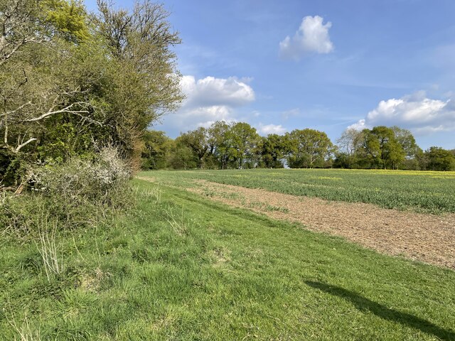
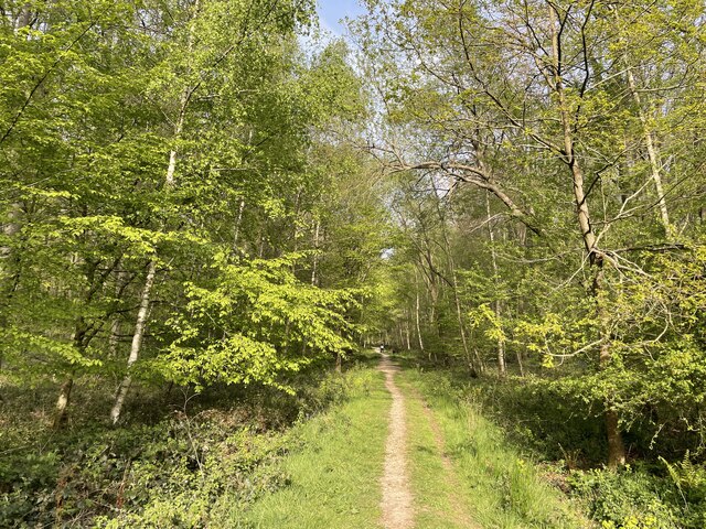
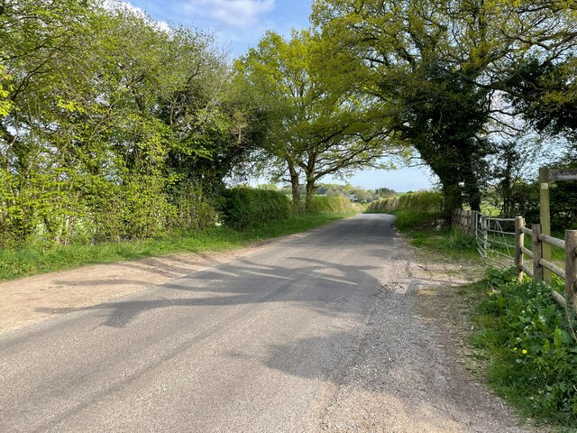
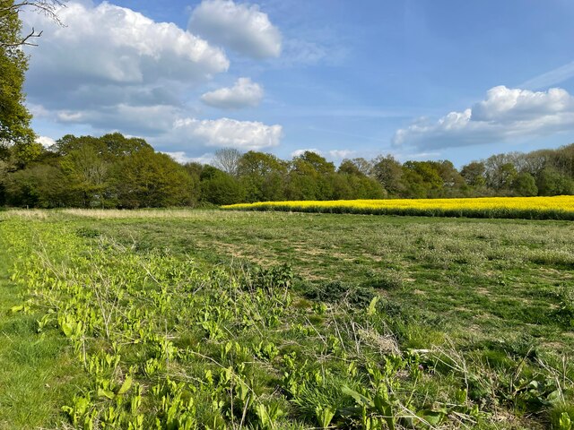
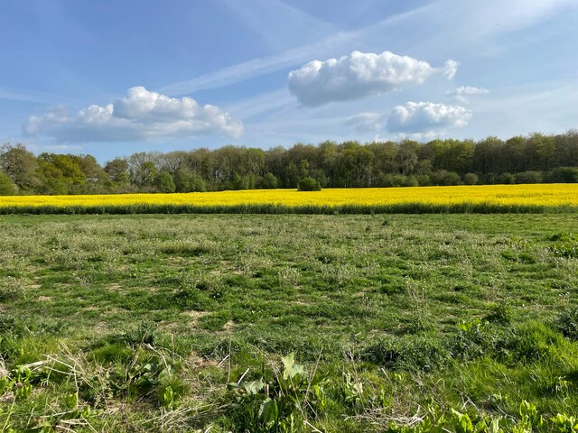
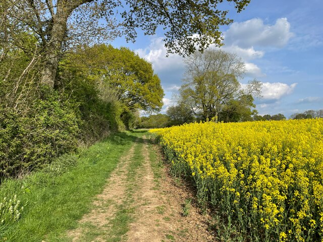
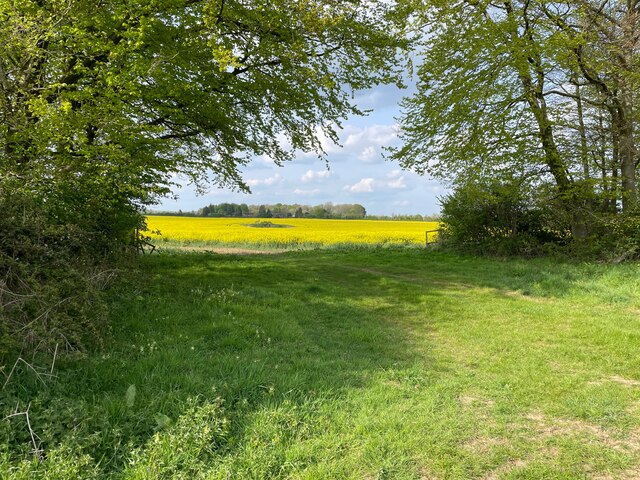
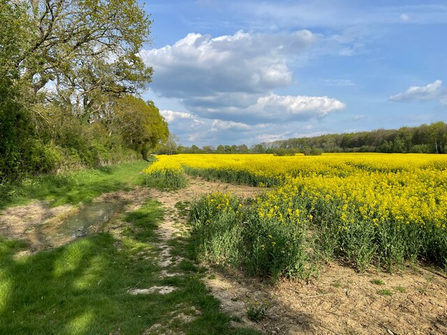
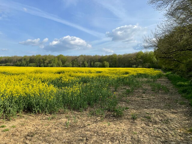
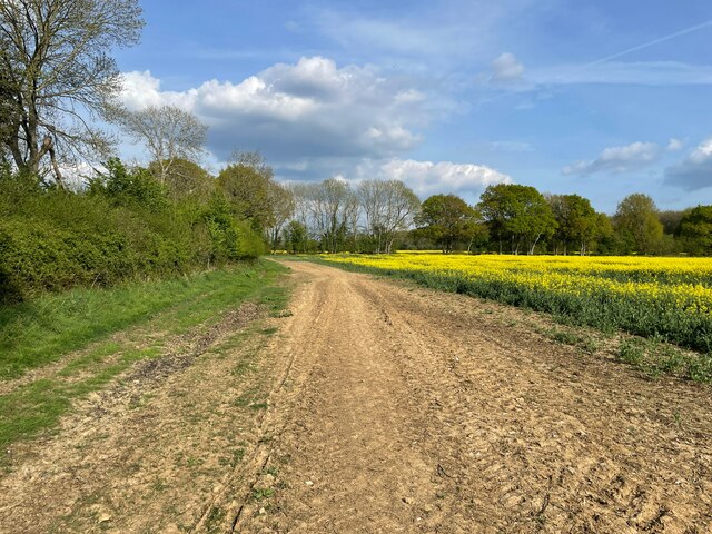
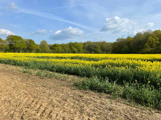
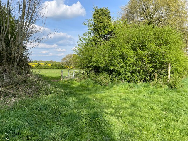
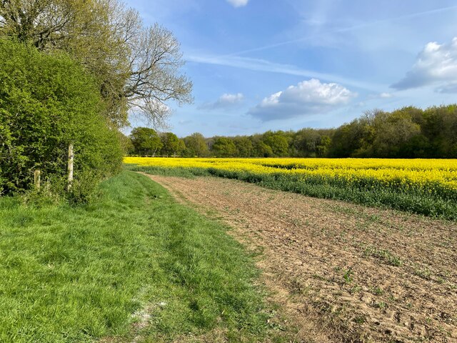
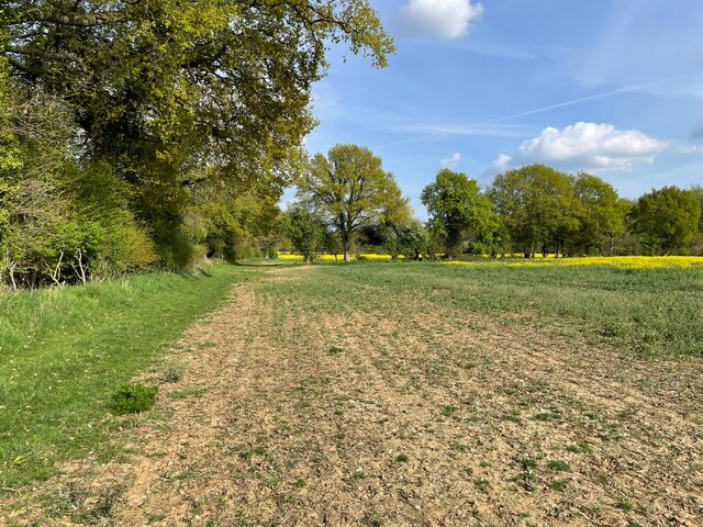
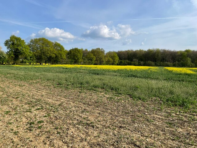
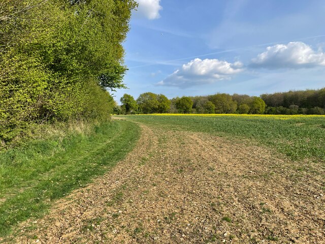
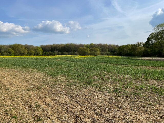
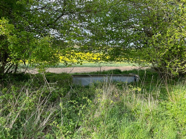
East Stratton is a small village located in Hampshire, England. Situated in the picturesque South Downs National Park, East Stratton is known for its charming rural setting and historic buildings. The village is surrounded by rolling hills and lush countryside, making it a popular destination for nature lovers and hikers.

East Stratton is home to a tight-knit community, with a population of around 500 residents. The village has a local pub, The Northbrook Arms, which is a popular spot for locals and visitors to enjoy a pint and a meal. There is also a village hall where community events and gatherings take place.

The architecture in East Stratton is predominantly Georgian and Victorian, with many well-preserved buildings lining the quaint streets. The village also boasts a beautiful parish church, St. Michael and All Angels, which dates back to the 12th century.

Overall, East Stratton offers a peaceful and idyllic setting for those looking to escape the hustle and bustle of city life and enjoy the beauty of the Hampshire countryside.

If you have any feedback on the listing, please let us know in the comments section below.

East Stratton Images

Images are sourced within 2km of 51.156637/-1.226374 or Grid Reference SU5440. Thanks to Geograph Open Source API. All images are credited.

Farmland by South Down Lane
Forest track in Dodsley Wood Forestry Commission land.
Forest track in Dodsley Wood
Forestry Commission land.
Byway at Northington Corner See <a href="https://www.geograph.org.uk/photo/6866388">SU5439 : Byway at Northington Corner</a> for a similar view taken a year earlier.
Byway at Northington Corner
See SU5439 : Byway at Northington Corner for a similar view taken a year earlier.
Farmland north of Dodsley Wood
South Down Lane
South Down Lane
Fields north of South Down Lane
South Down Lane
South Down Lane
Field boundary - South Down Lane
South Down Lane
South Down Lane
Farmland north of Dodsley Wood
Footpath towards New Farm New Farm is in fact derelict, the house has almost gone, a couple of outbuildings remain. See <a href="https://www.geograph.org.uk/photo/6714907">SU5339 : Inside New Farm farm house</a> and <a href="https://www.geograph.org.uk/photo/6714894">SU5339 : Remains of New Farm</a>.
Footpath towards New Farm
New Farm is in fact derelict, the house has almost gone, a couple of outbuildings remain. See SU5339 : Inside New Farm farm house and SU5339 : Remains of New Farm.
South Down Lane
South Down Lane
South Down Lane
South Down Lane
Farmland north of Dodsley Wood
South Down Lane
South Down Lane
Farmland north of Dodsley Wood
Hidden water trough It is in fact still connected to a water supply. See <a href="https://www.geograph.org.uk/photo/3817804">SU5339 : Long forgotten</a> for a view taken 9 years earlier.
Hidden water trough
It is in fact still connected to a water supply. See SU5339 : Long forgotten for a view taken 9 years earlier.
Show me another place!

East Stratton is located at Grid Ref: SU5440 (Lat: 51.156637, Lng: -1.226374)

Administrative County: Hampshire

District: Winchester

Police Authority: Hampshire

What 3 Words

///crackled.straying.dart. Near New Alresford, Hampshire

Related Wikis

East Stratton

East Stratton is an estate village and former civil parish, now in the parish of Micheldever, in the Winchester district, in the county of Hampshire, England...
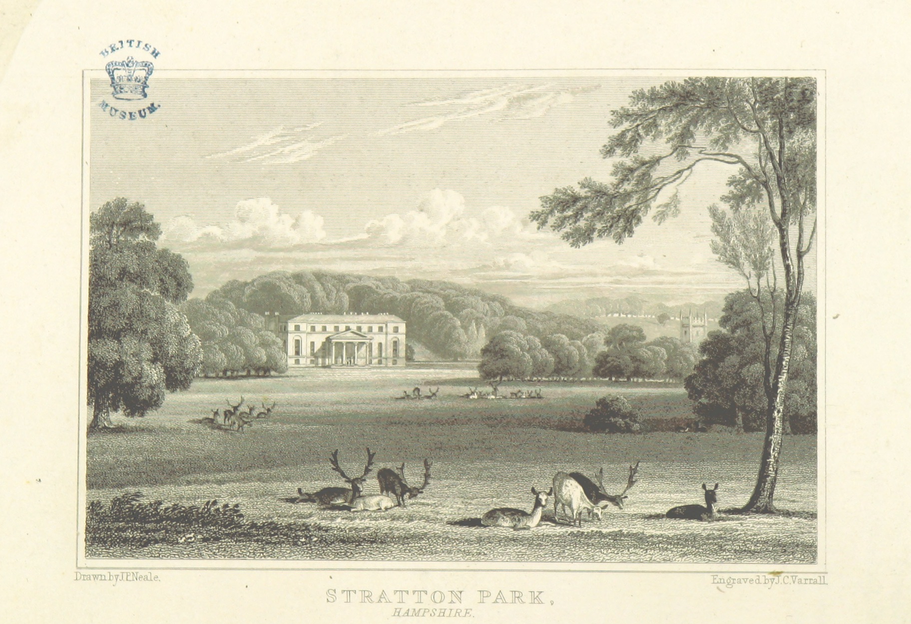
Stratton Park

Stratton Park, in East Stratton, Hampshire, was an English country house, built on the site of a grange of Hyde Abbey after the dissolution of the monasteries...
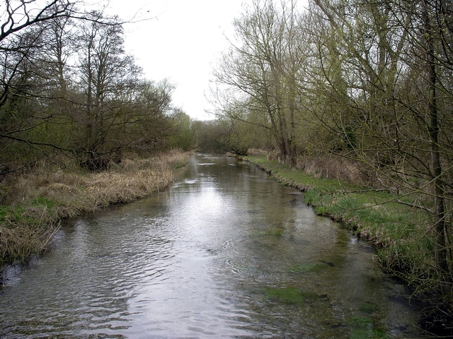
River Dever

The River Dever is a chalk stream in Hampshire in the south of England. It rises at West Stratton near Micheldever and flows westwards for 11 mi (18 km...

West Stratton

West Stratton is a village in the civil parish of Micheldever in the City of Winchester district of Hampshire, England. The village lies close to the M3...

Nearby Amenities

Located within 500m of 51.156637,-1.226374
Give Way
Source: Hampshire-Aerial-FCIR
Lat/Long: 51.1572188/-1.2267637
Barrier: stile
Lat/Long: 51.1588174/-1.2282582
Barrier: stile
Lat/Long: 51.1604883/-1.2271046
Barrier: stile
Lat/Long: 51.1605361/-1.2295671
Pub
The Northbrook Arms
Addr City: Winchester
Addr Postcode: SO21 3DU
Addr Street: Straton Lane
Source: GPS
Website: http://www.thenorthbrookarms.com/
Lat/Long: 51.1548788/-1.2251574
East Stratton
Is In: Hampshire, England, UK
Place: village
Wikidata: Q5329434
Lat/Long: 51.157216/-1.2271219
Bus Stop
East Stratton Farm
Naptan AtcoCode: 1900HA110399
Naptan Bearing: N
Naptan CommonName: East Stratton Farm
Naptan Crossing: Church Bank Road
Naptan NaptanCode: hamdmwap
Naptan Street: Stratton Lane
Naptan Verified: no
Source: naptan_import
Lat/Long: 51.1564243/-1.22646
Bus Stop
East Stratton Farm
Naptan AtcoCode: 1900HA110400
Naptan Bearing: S
Naptan CommonName: East Stratton Farm
Naptan Crossing: Church Bank Road
Naptan NaptanCode: hamdmwat
Naptan Street: Stratton Lane
Naptan Verified: no
Source: naptan_import
Lat/Long: 51.1564414/-1.226331
Bus Stop
Northbrook Arms Ph
Naptan AtcoCode: 1900HA110401
Naptan Bearing: SE
Naptan CommonName: Northbrook Arms Ph
Naptan Crossing: Stratton Close
Naptan NaptanCode: hamdmwdt
Naptan Street: Stratton Lane
Naptan Verified: no
Source: naptan_import
Lat/Long: 51.154921/-1.2248693
Bus Stop
Baring Close
Naptan AtcoCode: 1900HA110402
Naptan Bearing: N
Naptan CommonName: Baring Close
Naptan Crossing: Baring Close
Naptan NaptanCode: hamdmwgt
Naptan Street: Stratton Lane
Naptan Verified: no
Source: naptan_import
Lat/Long: 51.1536023/-1.2239906
Bus Stop
Northbrook Arms Ph
Naptan AtcoCode: 1900HA110403
Naptan Bearing: NW
Naptan CommonName: Northbrook Arms Ph
Naptan Crossing: Stratton Close
Naptan NaptanCode: hamdmwdp
Naptan Street: Stratton Lane
Naptan Verified: no
Source: naptan_import
Lat/Long: 51.1548856/-1.2249557
East Stratton Farm
Landuse: farm
Note Retag: CS #48756035
Source: OS_OpenData_StreetView
Lat/Long: 51.1566444/-1.2271532
Post Box
Post Box Type: wall
Ref: SO21 225
Royal Cypher: GVIR
Royal Cypher Wikidata: Q33102169
Lat/Long: 51.1553663/-1.2253697
Bench
Source: local_knowledge
Lat/Long: 51.1569426/-1.2321749
Historic: memorial
Memorial: war_memorial
Lat/Long: 51.1574219/-1.2266359
Telephone
Booth: K6
Covered: booth
Listed Status: Grade II
Lat/Long: 51.1564679/-1.2264579
The data included in this document is from www.openstreetmap.org. The data is made available under ODbL.

Have you been to East Stratton?

Leave your review of East Stratton below (or comments, questions and feedback).