Barkston Gorse

Wood, Forest in Lincolnshire South Kesteven

England

Barkston Gorse

Bridge on Sand Lane Carrying the East Coast Main Line north of Grantham.
Bridge on Sand Lane Credit: Tim Heaton

Barkston Gorse is a picturesque woodland area located in the county of Lincolnshire, England. Spread across an expansive area, this enchanting forest is known for its diverse range of flora and fauna, offering a serene escape to nature lovers and outdoor enthusiasts.

The woodland is predominantly composed of a mixture of deciduous and coniferous trees, including oak, beech, pine, and birch. These trees create a dense canopy that provides shade and shelter for various wildlife species. As a result, Barkston Gorse is home to an abundance of birds, mammals, and insects, making it a haven for wildlife enthusiasts and birdwatchers.

The forest offers several well-maintained trails and footpaths that wind through the woodland, allowing visitors to explore its natural beauty at their own pace. These paths provide opportunities for walking, hiking, and cycling, catering to individuals of all fitness levels. During the springtime, the forest floor comes alive with a vibrant carpet of bluebells, creating a stunning sight for visitors.

Barkston Gorse also boasts a small lake, which adds to the area's charm and provides a tranquil spot for picnicking or enjoying a leisurely stroll along the water's edge. Additionally, the forest is equipped with basic facilities, including picnic areas, benches, and parking spaces, ensuring the comfort and convenience of visitors.

Overall, Barkston Gorse is a hidden gem in Lincolnshire, offering a peaceful retreat where visitors can immerse themselves in the beauty of nature, enjoy outdoor activities, and observe the local wildlife in their natural habitat.

If you have any feedback on the listing, please let us know in the comments section below.

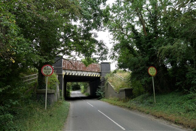
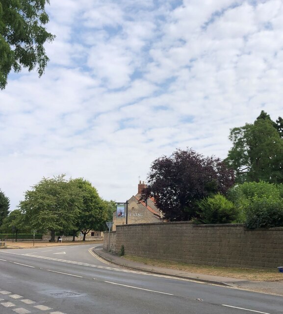
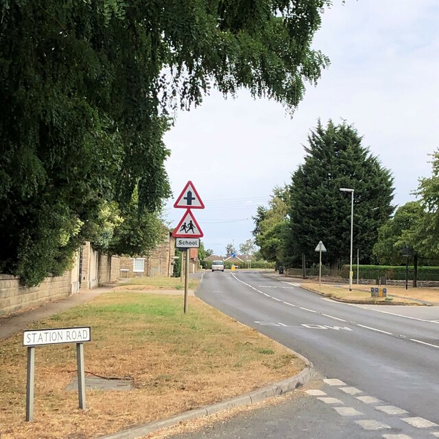
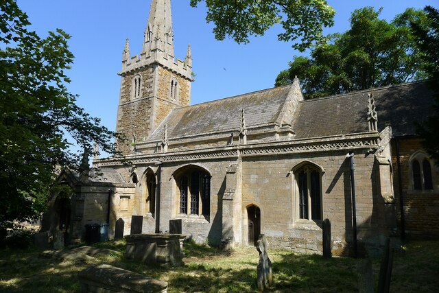
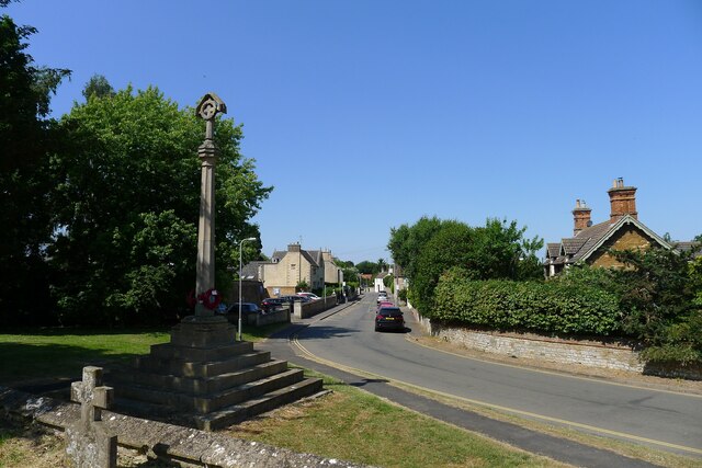
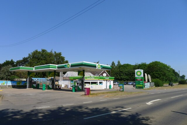
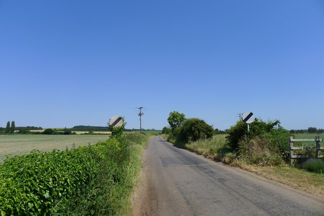
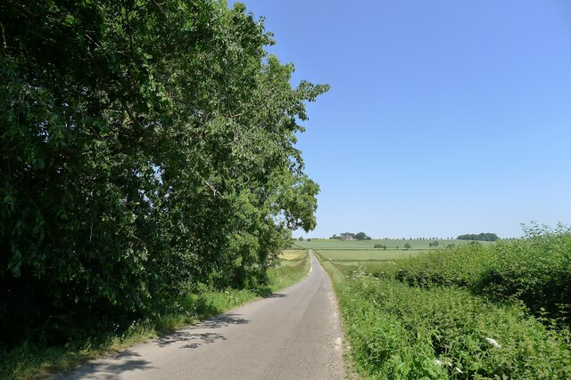
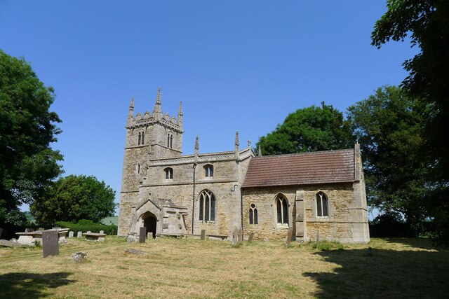
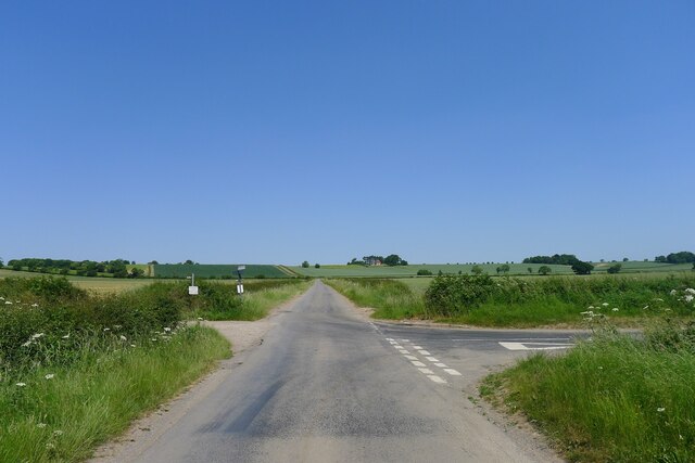
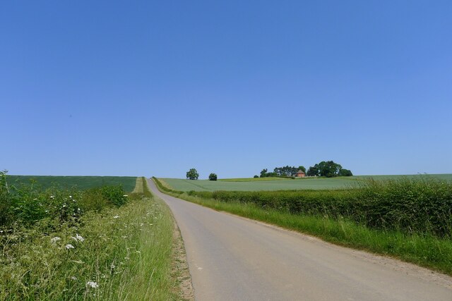
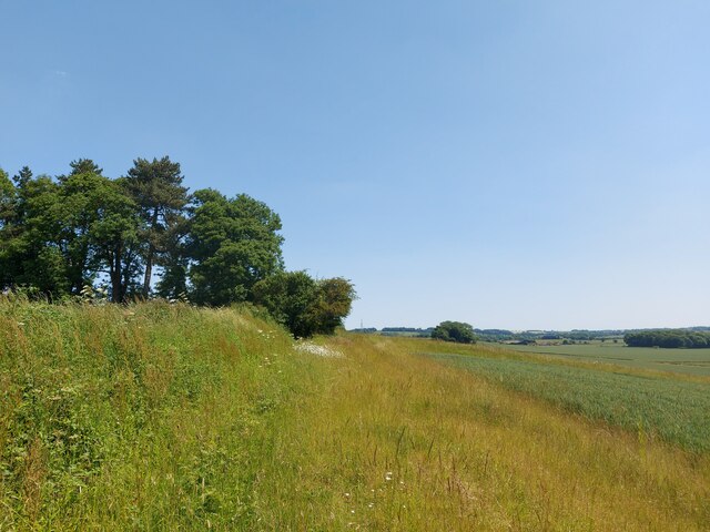
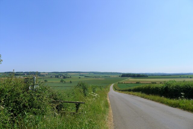
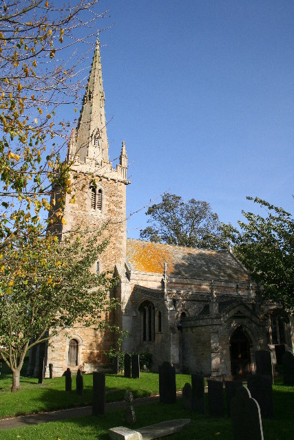
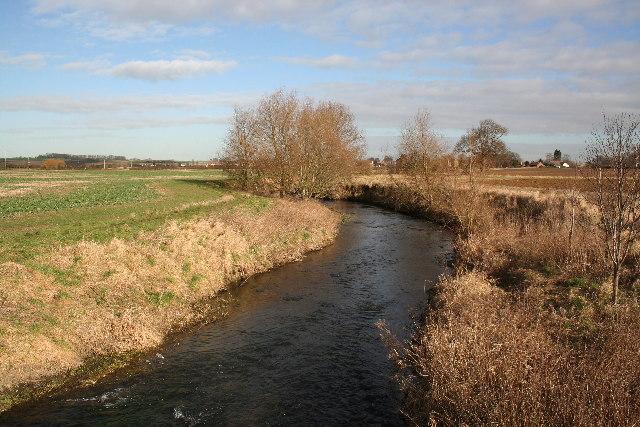
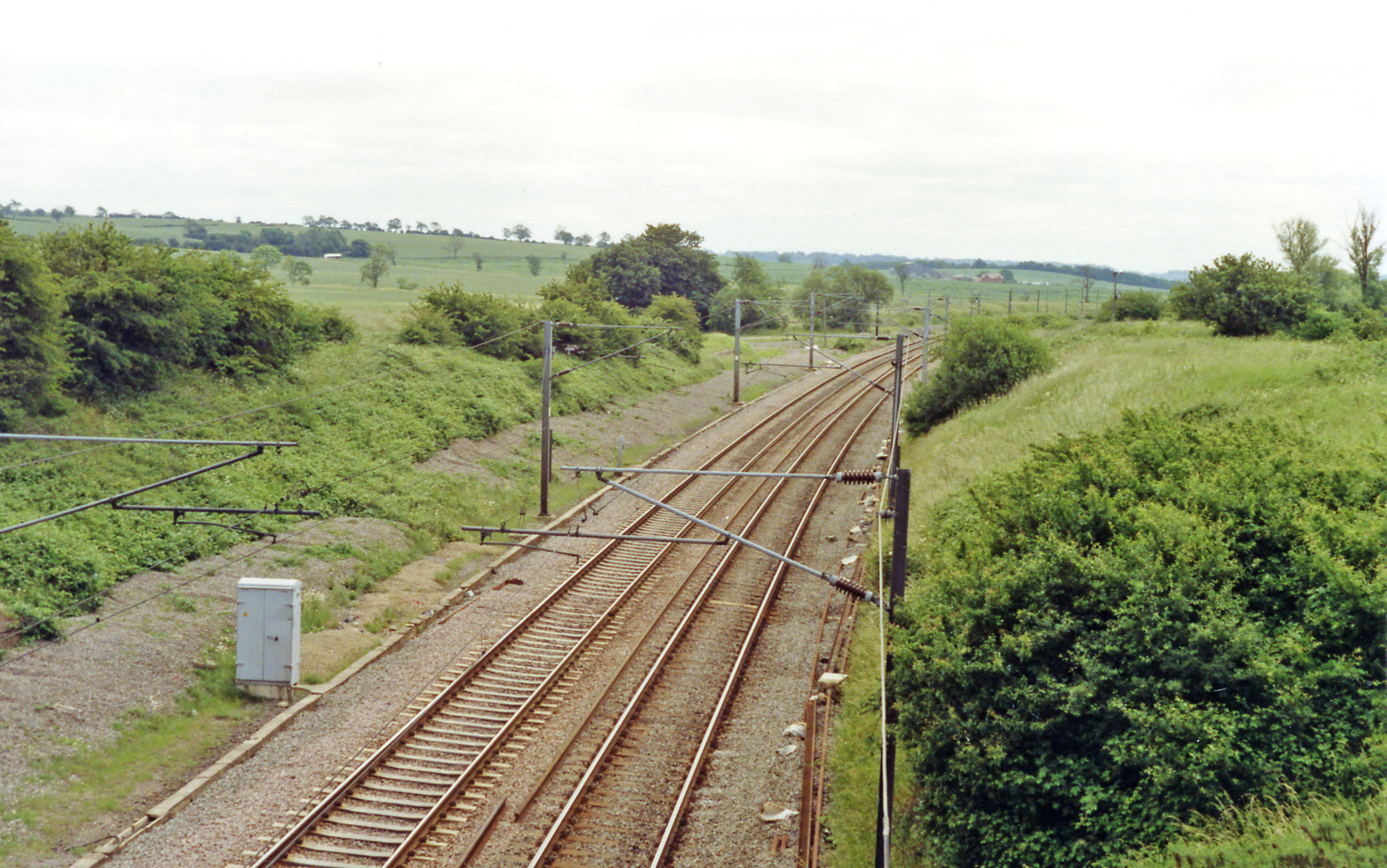
Barkston Gorse Images

Images are sourced within 2km of 52.975954/-0.62602095 or Grid Reference SK9242. Thanks to Geograph Open Source API. All images are credited.

Bridge on Sand Lane Carrying the East Coast Main Line north of Grantham.
Bridge on Sand Lane
Carrying the East Coast Main Line north of Grantham.
Stag Inn, Barkston At the junction of Church Street and the A607
Stag Inn, Barkston
At the junction of Church Street and the A607
The main road through Barkston
Church of St Nicholas, Barkston Listed Grade I. "Norman to Perpendicular church. Mainly of 12th century date, of which tower with 14th century spire and south arcade remain, with 14th and 15th century alterations" <span class="nowrap"><a title="https://heritage-explorer.lincolnshire.gov.uk/Monument/MLI30411" rel="nofollow ugc noopener" href="https://heritage-explorer.lincolnshire.gov.uk/Monument/MLI30411">Link</a><img style="margin-left:2px;" alt="External link" title="External link - shift click to open in new window" src="https://s1.geograph.org.uk/img/external.png" width="10" height="10"/></span>
Church of St Nicholas, Barkston
Listed Grade I. "Norman to Perpendicular church. Mainly of 12th century date, of which tower with 14th century spire and south arcade remain, with 14th and 15th century alterations" LinkExternal link
War Memorial and Church Street, Barkston The memorial commemorates ten men of Barkston who fell in the 1st World War, and the one man who died in the 2nd World War <span class="nowrap"><a title="http://www.roll-of-honour.com/Lincolnshire/Barkston.html" rel="nofollow ugc noopener" href="http://www.roll-of-honour.com/Lincolnshire/Barkston.html">Link</a><img style="margin-left:2px;" alt="External link" title="External link - shift click to open in new window" src="https://s1.geograph.org.uk/img/external.png" width="10" height="10"/></span>
War Memorial and Church Street, Barkston
The memorial commemorates ten men of Barkston who fell in the 1st World War, and the one man who died in the 2nd World War LinkExternal link
Service station on the A607 through Barkston The Londis brand is now part of Tescos
Service station on the A607 through Barkston
The Londis brand is now part of Tescos
Hough Road leading north from Barkston Start of a pleasant cycle run towards Hough-on-the-Hill
Hough Road leading north from Barkston
Start of a pleasant cycle run towards Hough-on-the-Hill
Hough Lane Level Crossing Crossing the 'Poacher Line' running from Grantham to Skegness via Sleaford and Boston. The crossing is signed Hough Lane, OS map calls this Hough Road
Hough Lane Level Crossing
Crossing the 'Poacher Line' running from Grantham to Skegness via Sleaford and Boston. The crossing is signed Hough Lane, OS map calls this Hough Road
Hough Road from the north side of Grove Plantations
Church of St Wilfred, Honington Listed Grade I, from the 11th century.
Church of St Wilfred, Honington
Listed Grade I, from the 11th century.
Main Street leaving the south side of Honington
Frinkley Lane crossing Hough Road The Viking Way comes down Hough Road from the north (ahead), and turns left along Frinkley Lane
Frinkley Lane crossing Hough Road
The Viking Way comes down Hough Road from the north (ahead), and turns left along Frinkley Lane
Hough Road rising up to the Red House ridge Rising from Jurassic mudstones in the valley of Honington Beck to a ridge of harder sandstones and ironstones <span class="nowrap"><a title="https://geologyviewer.bgs.ac.uk/" rel="nofollow ugc noopener" href="https://geologyviewer.bgs.ac.uk/">Link</a><img style="margin-left:2px;" alt="External link" title="External link - shift click to open in new window" src="https://s1.geograph.org.uk/img/external.png" width="10" height="10"/></span>
Hough Road rising up to the Red House ridge
Rising from Jurassic mudstones in the valley of Honington Beck to a ridge of harder sandstones and ironstones LinkExternal link
Footpath running along the ridge below The Red House The footpath runs to Carlton Scroop. It is probably little used as Howdale Lane immediately to the north offers an easier traffic-free route
Footpath running along the ridge below The Red House
The footpath runs to Carlton Scroop. It is probably little used as Howdale Lane immediately to the north offers an easier traffic-free route
Hough Road, looking south from Carlton Ashes The road carries the Viking Way. The footpath to the left goes to Carlton Scroop
Hough Road, looking south from Carlton Ashes
The road carries the Viking Way. The footpath to the left goes to Carlton Scroop
St.Wilfrid's church, Honington, Lincs. A hidden gem tucked away behind the former vicarage and approached through the garden. A fine Norman nave and Early English chancel and tower, fine furnishings and Monuments to the Hussey family.
St.Wilfrid's church, Honington, Lincs.
A hidden gem tucked away behind the former vicarage and approached through the garden. A fine Norman nave and Early English chancel and tower, fine furnishings and Monuments to the Hussey family.
St.Nicholas' church, Barkston, Lincs. A fine, crocketed Perpendicular spire on a 13th century tower.
St.Nicholas' church, Barkston, Lincs.
A fine, crocketed Perpendicular spire on a 13th century tower.
River Witham Looking north towards Barkston from Hambleton Bridge
River Witham
Looking north towards Barkston from Hambleton Bridge
Show me another place!

Barkston Gorse is located at Grid Ref: SK9242 (Lat: 52.975954, Lng: -0.62602095)

Administrative County: Lincolnshire

District: South Kesteven

Police Authority: Lincolnshire

What 3 Words

///diamond.shuttled.protected. Near Caythorpe, Lincolnshire

Nearby Locations

Barkston Gorse

Related Wikis

Barkston railway station

Barkston railway station is a former station serving the village of Barkston, Lincolnshire. It was on the Great Northern Railway main line near to the...

Barkston

Barkston is an English village and civil parish in the South Kesteven district of Lincolnshire. The parish population was 497 at the 2001 census and 493...

Honington railway station

Honington railway station was a station in the village of Honington, Lincolnshire. It was located on junction with the line Grantham and Lincoln railway...

Syston, Lincolnshire

Syston is a village and civil parish in the South Kesteven district of Lincolnshire, England. The population of the civil parish was 162 at the 2011 census...

Honington, Lincolnshire

Honington is an English village and civil parish in the South Kesteven district of Lincolnshire. It lies just north of the junction between the A153 and...

Gelston, Lincolnshire

Gelston is a village in the South Kesteven district of Lincolnshire, England. It is 2 miles (3 km) west from the A607 road, 5 miles (8 km) north from Grantham...

Hougham railway station

Hougham railway station is a former railway station in Hougham, Lincolnshire. The station was about a mile east of the village of Hougham itself and was...

Carlton Scroop

Carlton Scroop is a small village and civil parish in the South Kesteven district of Lincolnshire, England. The population of the civil parish (including...

Nearby Amenities

Located within 500m of 52.975954,-0.62602095
Barkston Gorse Farm
Historic Place: farm
Source: Bing
Lat/Long: 52.9786041/-0.6308614
Barkston Lodge
Place: isolated_dwelling
Source: Bing
Lat/Long: 52.9729098/-0.6206678
Railway: level_crossing
Lat/Long: 52.9733913/-0.6209259
Railway: level_crossing
Lat/Long: 52.973353/-0.6209049
The data included in this document is from www.openstreetmap.org. The data is made available under ODbL.

Have you been to Barkston Gorse?

Leave your review of Barkston Gorse below (or comments, questions and feedback).