Bottom Covert
Wood, Forest in Lincolnshire North Kesteven
England
Bottom Covert

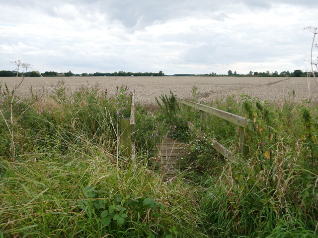
Bottom Covert is a small woodland area located in the county of Lincolnshire, England. Situated near the village of Wood, it is commonly referred to as Bottom Covert due to its low-lying position. The woodland covers an approximate area of 50 acres and is characterized by a diverse range of tree species, creating a picturesque and serene environment.
The forest is predominantly composed of deciduous trees, including oak, birch, and beech. These tall and majestic trees provide a dense canopy, allowing limited sunlight to reach the forest floor. As a result, the undergrowth is rich with ferns, mosses, and various wildflowers, creating a vibrant and lush habitat for a variety of wildlife.
Bottom Covert is home to a diverse range of fauna, including small mammals such as badgers, foxes, and rabbits. The woodland also serves as a haven for a wide array of bird species, including woodpeckers, thrushes, and owls. The tranquil atmosphere and abundance of natural resources make it an ideal nesting and foraging ground for these avian creatures.
The woodland is open to the public and offers several walking trails, allowing visitors to explore its natural beauty. It is a popular destination for nature enthusiasts, hikers, and birdwatchers. The peacefulness and seclusion of Bottom Covert make it an excellent place for relaxation and contemplation, away from the hustle and bustle of everyday life.
In conclusion, Bottom Covert in Lincolnshire is a charming woodland area, offering a tranquil setting and a diverse range of flora and fauna. Its natural beauty and accessibility make it a must-visit destination for nature lovers and those seeking a peaceful retreat.
If you have any feedback on the listing, please let us know in the comments section below.
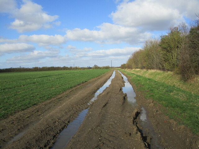
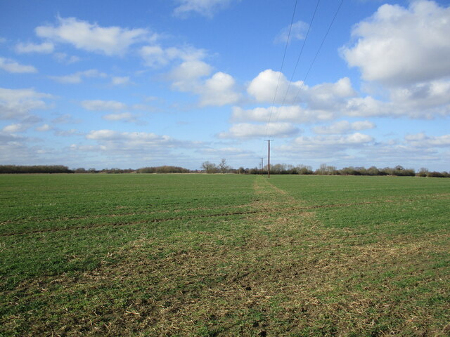
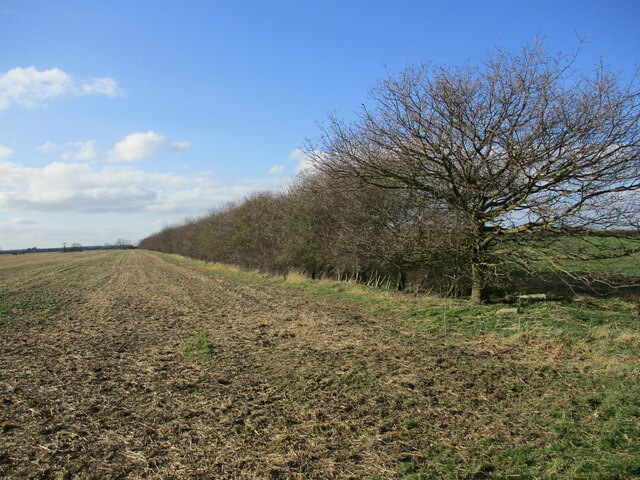
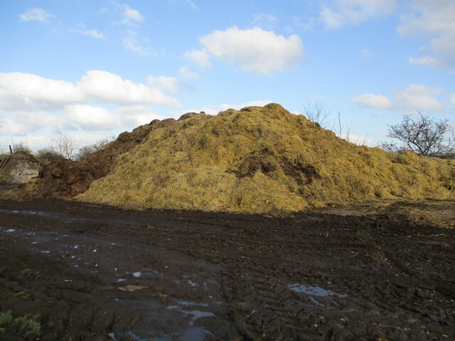
Bottom Covert Images
Images are sourced within 2km of 53.087017/-0.62390511 or Grid Reference SK9255. Thanks to Geograph Open Source API. All images are credited.


Bottom Covert is located at Grid Ref: SK9255 (Lat: 53.087017, Lng: -0.62390511)
Administrative County: Lincolnshire
District: North Kesteven
Police Authority: Lincolnshire
What 3 Words
///future.confident.wide. Near Bassingham, Lincolnshire
Nearby Locations
Related Wikis

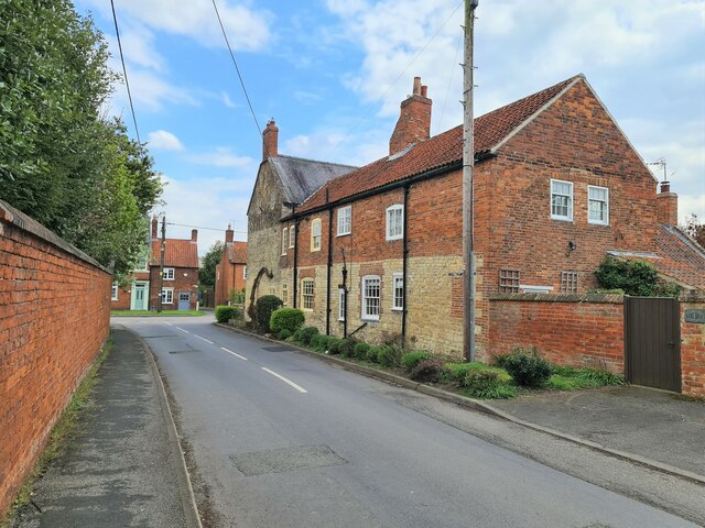
Brant Broughton
Brant Broughton (pronounced Brew-ton) is a small village in the civil parish of Brant Broughton and Stragglethorpe, in the North Kesteven district of Lincolnshire...
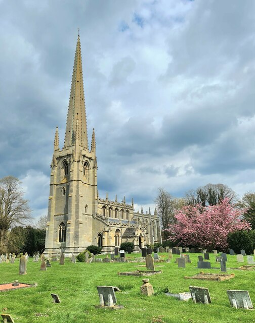
St Helen's Church, Brant Broughton
St Helen's Church is an Anglican church in Brant Broughton, Lincolnshire, England. It is a Grade I listed building. == History == St Helen's Church a medieval...

Skinnand
Skinnand is a deserted medieval village in Lincolnshire, England. It was a small farming community situated 9 miles (14 km) south of Lincoln and 11.5 miles...

Stragglethorpe
Stragglethorpe is a village in the civil parish of Brant Broughton with Stragglethorpe, in the North Kesteven district of Lincolnshire, England. The village...
Nearby Amenities
Located within 500m of 53.087017,-0.62390511Have you been to Bottom Covert?
Leave your review of Bottom Covert below (or comments, questions and feedback).