Post Office Plantation

Wood, Forest in Lincolnshire South Kesteven

England

Post Office Plantation

Easton Hall and Park: aerial 2021 (1) See: <span class="nowrap"><a title="https://houseandheritage.org/2015/10/23/easton-hall/" rel="nofollow ugc noopener" href="https://houseandheritage.org/2015/10/23/easton-hall/">Link</a><img style="margin-left:2px;" alt="External link" title="External link - shift click to open in new window" src="https://s1.geograph.org.uk/img/external.png" width="10" height="10"/></span>
Easton Hall and Park: aerial 2021 (1) Credit: Chris

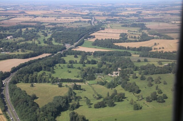
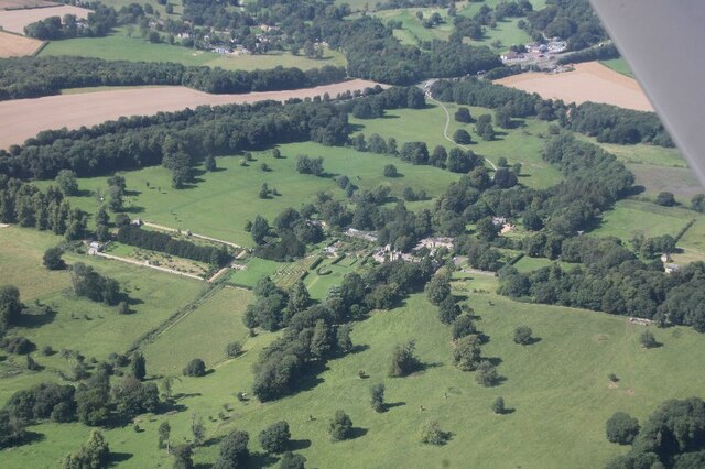
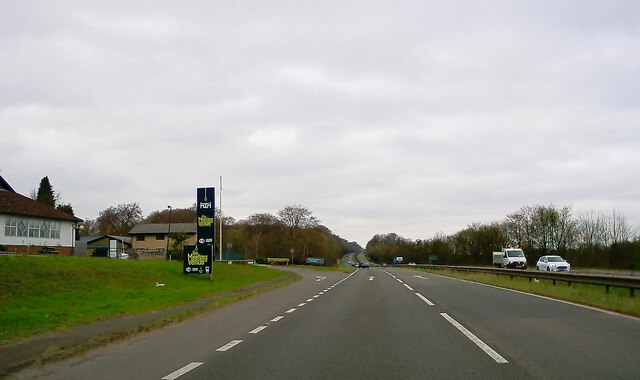
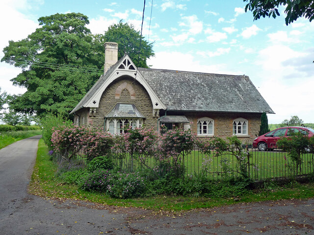
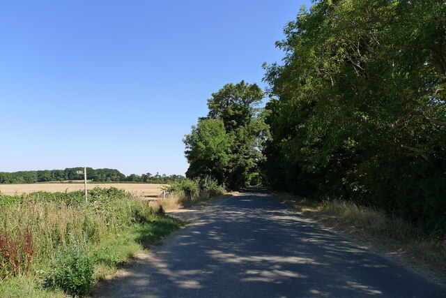
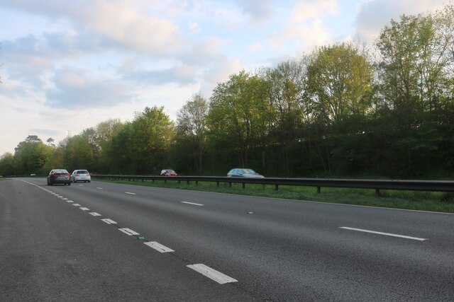
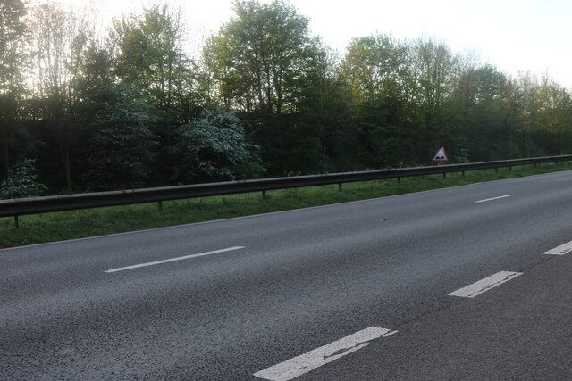
Post Office Plantation is a picturesque woodland located in Lincolnshire, England. Nestled within the county's scenic landscape, this plantation covers a vast area of land and is known for its dense forest and abundant wildlife.

The woodland is characterized by a variety of tree species, including oak, birch, beech, and pine, which create a diverse and vibrant ecosystem. The dense canopy of the trees provides a cool and shady environment, making it a popular spot for locals and visitors alike to escape the heat during the summer months.

Post Office Plantation offers a range of recreational activities for nature enthusiasts. There are well-maintained walking trails that wind through the forest, allowing visitors to explore the beauty of the woodland at their own pace. The trails are suitable for all fitness levels and offer stunning views of the surrounding countryside.

The plantation is also home to a wide array of wildlife species. Birdwatchers can spot various avian species, including robins, woodpeckers, and owls, while keen observers may also catch a glimpse of deer, foxes, and rabbits that inhabit the woodland. The tranquil atmosphere and abundant wildlife make this woodland a haven for photographers and nature lovers seeking unique and captivating shots.

Post Office Plantation is easily accessible, with ample parking facilities available for visitors. It is a popular destination for those seeking a peaceful retreat into nature, offering a serene and rejuvenating experience for all who venture into its leafy depths.

If you have any feedback on the listing, please let us know in the comments section below.

Post Office Plantation Images

Images are sourced within 2km of 52.836593/-0.63244189 or Grid Reference SK9227. Thanks to Geograph Open Source API. All images are credited.

Easton Hall and Park: aerial 2021 (1) See: <span class="nowrap"><a title="https://houseandheritage.org/2015/10/23/easton-hall/" rel="nofollow ugc noopener" href="https://houseandheritage.org/2015/10/23/easton-hall/">Link</a><img style="margin-left:2px;" alt="External link" title="External link - shift click to open in new window" src="https://s1.geograph.org.uk/img/external.png" width="10" height="10"/></span>
Easton Hall and Park: aerial 2021 (1)
See: LinkExternal link
Easton Hall and Park: aerial 2021 (2) See: <span class="nowrap"><a title="https://houseandheritage.org/2015/10/23/easton-hall/" rel="nofollow ugc noopener" href="https://houseandheritage.org/2015/10/23/easton-hall/">Link</a><img style="margin-left:2px;" alt="External link" title="External link - shift click to open in new window" src="https://s1.geograph.org.uk/img/external.png" width="10" height="10"/></span>
Easton Hall and Park: aerial 2021 (2)
See: LinkExternal link
Easton Hall and Park: aerial 2021 (3) Detail of garden.
Easton Hall and Park: aerial 2021 (3)
Detail of garden.
Stoke Rochford Park
Stoke Rochford Park
A1 northbound near Crabtree House
A1 passing Stoke Rochford Golf Club
Lay-by on the Great North Road (A1)
Great North Road (A1) Heading north.
Great North Road (A1)
Heading north.
Old School, Easton Dated 1878. Grade II listed.
Now a private house. See also <a href="https://www.geograph.org.uk/photo/212693">SK9326 : Former school at Easton</a>.
Old School, Easton
Dated 1878. Grade II listed. Now a private house. See also SK9326 : Former school at Easton.
Crabtree Road heading towards the A1 The footpath on the left leads to Skillington
Crabtree Road heading towards the A1
The footpath on the left leads to Skillington
Planting Road leading to Easton The delightful Easton walled gardens are at the end of this quiet lane <span class="nowrap"><a title="https://www.visiteaston.co.uk/" rel="nofollow ugc noopener" href="https://www.visiteaston.co.uk/">Link</a><img style="margin-left:2px;" alt="External link" title="External link - shift click to open in new window" src="https://s1.geograph.org.uk/img/external.png" width="10" height="10"/></span>
Planting Road leading to Easton
The delightful Easton walled gardens are at the end of this quiet lane LinkExternal link
Great North Road, Great Ponton
Great North Road, Stoke Rochford
Great North Road, Stoke Rochford Looking towards Walk Plantation
Great North Road, Stoke Rochford
Looking towards Walk Plantation
Great North Road, Easton
Great North Road, Colsterworth
Stoke Rochford, St. Andrew and St. Mary's Church: Eastern aspect
Show me another place!

Post Office Plantation is located at Grid Ref: SK9227 (Lat: 52.836593, Lng: -0.63244189)

Administrative County: Lincolnshire

District: South Kesteven

Police Authority: Lincolnshire

What 3 Words

///slogged.agreeable.odds. Near Colsterworth, Lincolnshire

Nearby Locations

Post Office Plantation

Related Wikis

St Andrew and St Mary's Church, Stoke Rochford

St Andrew and St Mary's Church is a Grade I listed Church of England parish church dedicated to Saint Andrew and Saint Mary, in the parish of Easton and...
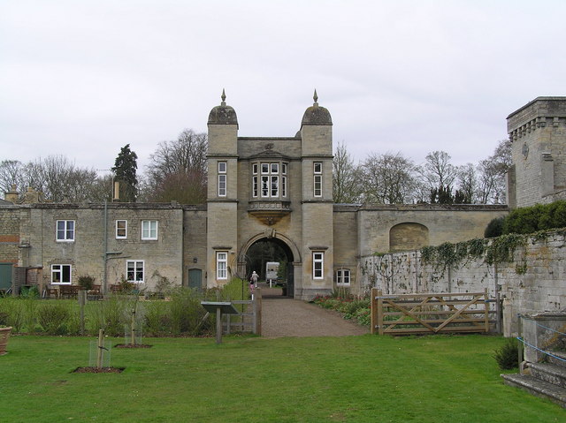
Stoke Rochford

Stoke Rochford is a small English village and civil parish 5.5 miles (9 km) south of Grantham in the South Kesteven district of Lincolnshire. The population...
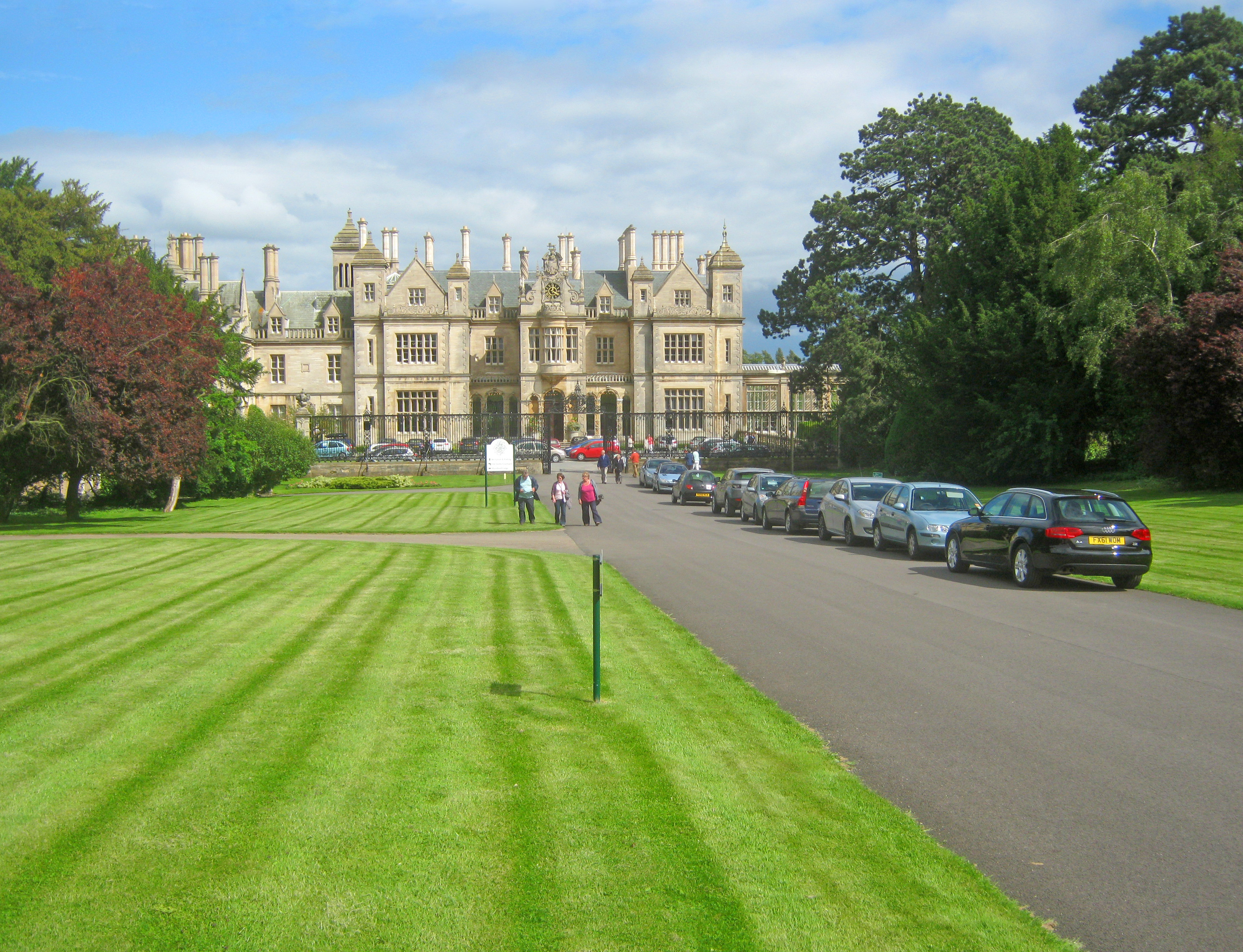
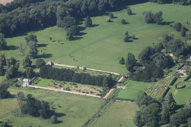
Stoke Rochford Hall

Stoke Rochford Hall is a large house built in scenic grounds, with a nearby golf course, next to the A1 in south Lincolnshire, England. The parkland and...

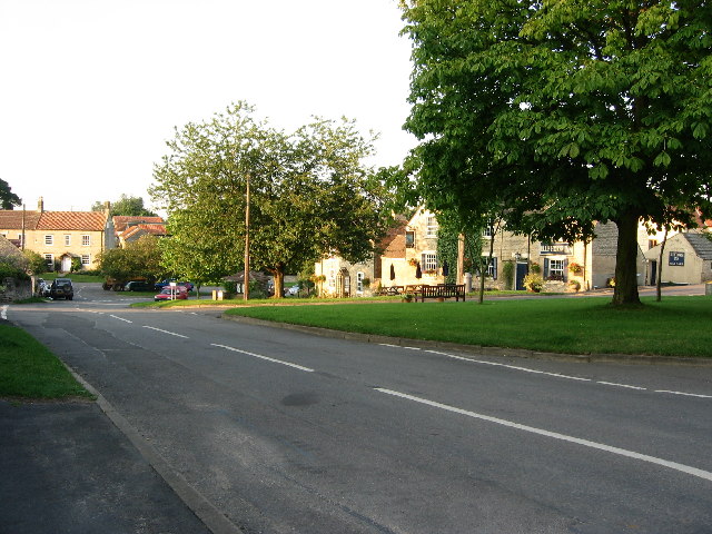
Easton, Lincolnshire

Easton is a village in the South Kesteven district of Lincolnshire, England, almost 2 miles (3.2 km) north of Colsterworth, and 1 mile (1.6 km) east of...

Grantham Rural District

Grantham was a rural district in Lincolnshire, Parts of Kesteven from 1894 to 1931. It was created by the Local Government Act 1894 based on the Grantham...

Great Ponton

Great Ponton is an English village and civil parish in the South Kesteven district of Lincolnshire, 3 miles (5 km) south of Grantham on the A1 trunk road...
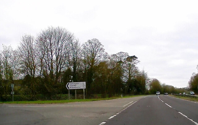
Skillington

Skillington is a village and civil parish in the South Kesteven district of Lincolnshire, England. The population of the civil parish at the 2021 census...

Woolsthorpe-by-Colsterworth

Woolsthorpe-by-Colsterworth (to distinguish it from Woolsthorpe-by-Belvoir in the same county) is a hamlet in the South Kesteven district of Lincolnshire...

Nearby Amenities

Located within 500m of 52.836593,-0.63244189
Stoke Rochford
Alt Name: South Stoke
Is In: Lincolnshire, England, UK
Place: hamlet
Source: NPE
Lat/Long: 52.8363587/-0.6350318
Post Office
Stoke Rochford Village Shop
Shop: convenience
Lat/Long: 52.8355942/-0.631643
Fuel
BP Stoke Rochford
Operator: BP
Lat/Long: 52.8382007/-0.629568
Restaurant
The Meeting Venue
Addr City: Grantham
Addr Postcode: NG33 5EW
Addr Street: Great North Road
Addr Suburb: Great Ponton
Fhrs Authority: South Kesteven
Fhrs Id: 238750
Fhrs Local Authority Id: 9687
Lat/Long: 52.8377841/-0.6298722
Post Box
Lat/Long: 52.8356784/-0.6317504
Rochford House
Place: isolated_dwelling
Source: Bing
Lat/Long: 52.8345041/-0.6385735
North Lodge
Place: isolated_dwelling
Source: Bing
Lat/Long: 52.8351998/-0.6293357
Golf: pin
Lat/Long: 52.8407776/-0.6318597
Golf: pin
Lat/Long: 52.8385185/-0.6325063
Golf: pin
Lat/Long: 52.8400232/-0.6343049
Golf: pin
Lat/Long: 52.8374801/-0.6314278
Telephone
Defibrillator
Booth: K6
Covered: booth
Defibrillator Location: inside old red phonebox, Stoke Rochford
Emergency: defibrillator
Man Made: telephone_box
Old Phone: +44 1476 530398
Lat/Long: 52.8359691/-0.6363891
Post Box
Post Box Type: lamp
Royal Cypher: EIIR
Royal Cypher Wikidata: Q33102113
Lat/Long: 52.8359898/-0.6363944
Historic: water_well
Lat/Long: 52.8360238/-0.6365131
Advertising: board
Lat/Long: 52.835959/-0.6366653
Grit Bin
Lat/Long: 52.8359525/-0.6363669
The data included in this document is from www.openstreetmap.org. The data is made available under ODbL.

Have you been to Post Office Plantation?

Leave your review of Post Office Plantation below (or comments, questions and feedback).