Ash Plantation
Wood, Forest in Rutland
England
Ash Plantation

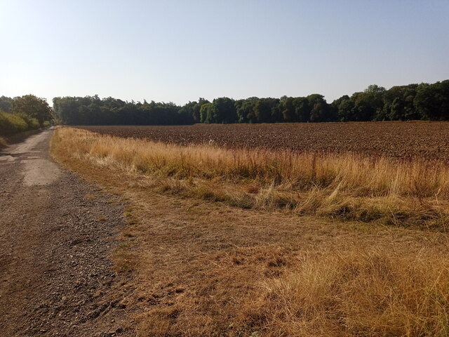
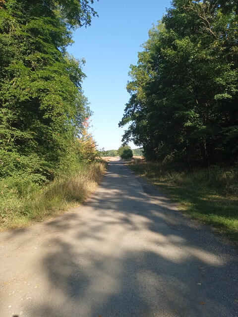
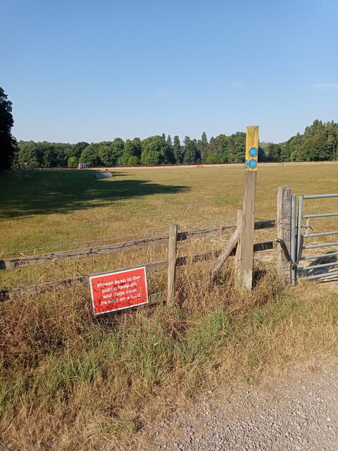
Ash Plantation is a charming woodland located in Rutland, a county in the East Midlands region of England. Covering an area of approximately 20 acres, it is a popular destination for nature enthusiasts and outdoor lovers alike.
The woodland is named after the abundance of ash trees that dominate the landscape, creating a picturesque and serene environment. These tall, slender trees provide a dense canopy that offers shelter and shade to a variety of wildlife species. The plantation is home to a diverse range of flora and fauna, making it an ideal spot for birdwatching and nature photography.
Walking trails wind through the woodland, allowing visitors to explore its beauty at their own pace. The paths are well-maintained and clearly marked, ensuring ease of navigation for visitors of all ages and abilities. Along the way, there are information boards that provide interesting facts about the local flora and fauna, enhancing the educational aspect of the visit.
Ash Plantation is also a designated Site of Special Scientific Interest (SSSI), highlighting its ecological significance. It is a haven for rare and endangered species, including the lesser spotted woodpecker and various types of bat. The woodland is managed by local authorities in collaboration with conservation organizations to ensure the preservation of its unique ecosystem.
Overall, Ash Plantation offers a tranquil escape from the hustle and bustle of everyday life. Its beauty, biodiversity, and educational value make it a cherished natural gem in Rutland, attracting visitors from near and far.
If you have any feedback on the listing, please let us know in the comments section below.
Ash Plantation Images
Images are sourced within 2km of 52.706692/-0.6369948 or Grid Reference SK9212. Thanks to Geograph Open Source API. All images are credited.


Ash Plantation is located at Grid Ref: SK9212 (Lat: 52.706692, Lng: -0.6369948)
Unitary Authority: Rutland
Police Authority: Leicestershire
What 3 Words
///cost.reference.rehearsal. Near Greetham, Rutland
Nearby Locations
Related Wikis
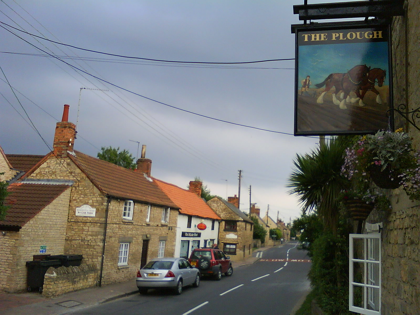
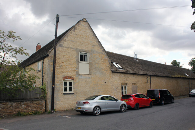
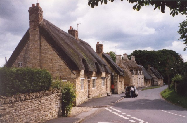
Greetham, Rutland
Greetham is a village and civil parish in the county of Rutland in the East Midlands of England. The village's name means 'homestead/village which is gravelly...

Exton Hall
Exton Hall is an English country house on the western edge of the village of Exton, Rutland, England, standing in its own extensive park, and is the country...

Cottesmore, Rutland
Cottesmore (often pronounced Cotts'more) is a village and civil parish in the north of the county of Rutland in the East Midlands of England. In terms...

Church of St Mary the Virgin, Greetham
The Church of St Mary the Virgin is the Church of England parish church in Greetham, Rutland. It is a Grade I listed building. == History == The oldest...

Church of St Peter and St Paul, Exton, Rutland
The Church of St Peter and St Paul is a church in Exton, Rutland. The Church of England parish church lies within the park of Exton Hall, slightly apart...
Exton, Rutland
Exton is a village and former civil parish, now in the parish of Exton and Horn, in the county of Rutland, England. The population of the parish was 607...
St Nicholas' Church, Cottesmore
St Nicholas' Church is a church in Cottesmore, Rutland. It is a Grade II* listed building.The Cottesmore Benefice is part of the North Rutland Churches...

Cottesmore Amateurs F.C.
Cottesmore AFC (formerly known as Cottesmore Amateurs FC) is a football club based in Cottesmore, Rutland, England. They are currently members of the Leicestershire...
Nearby Amenities
Located within 500m of 52.706692,-0.6369948Have you been to Ash Plantation?
Leave your review of Ash Plantation below (or comments, questions and feedback).