Old Grove

Wood, Forest in Berkshire

England

Old Grove

Forest Road, Winkfield Row
Forest Road, Winkfield Row Credit: David Howard

Old Grove is a picturesque woodland located in the idyllic county of Berkshire in England. Situated on the outskirts of the town of Bracknell, this ancient forest is a haven for nature enthusiasts and those seeking tranquility amidst lush greenery.

The woodland covers an expansive area of approximately 500 acres and is known for its diverse range of flora and fauna. Towering oak and beech trees dominate the landscape, casting a soothing shade over the forest floor. The forest is also home to an array of wildlife, including deer, foxes, badgers, and a variety of bird species, making it a popular spot for birdwatching and wildlife photography.

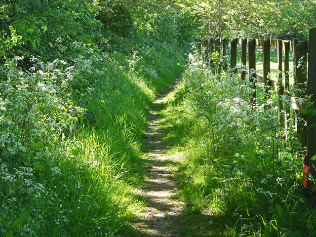
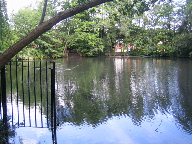
Old Grove is crisscrossed by a network of well-maintained footpaths, allowing visitors to explore the forest at their leisure. These trails wind through enchanting groves, past babbling brooks, and alongside tranquil ponds, providing a truly immersive experience in nature. The forest also boasts a picnic area, offering visitors the perfect opportunity to enjoy a leisurely lunch surrounded by the sights and sounds of the woodland.

This ancient woodland has a rich history, with some parts dating back over 400 years. It has been a protected area since the early 20th century, ensuring its preservation for future generations to enjoy. The Woodland Trust, a prominent conservation charity, actively manages the forest, employing sustainable practices to maintain its ecological balance.

In summary, Old Grove in Berkshire is a captivating woodland that offers visitors an escape from the hustle and bustle of modern life. With its stunning natural beauty, diverse wildlife, and well-maintained trails, it is a perfect destination for nature lovers and those seeking solace in the great outdoors.

If you have any feedback on the listing, please let us know in the comments section below.
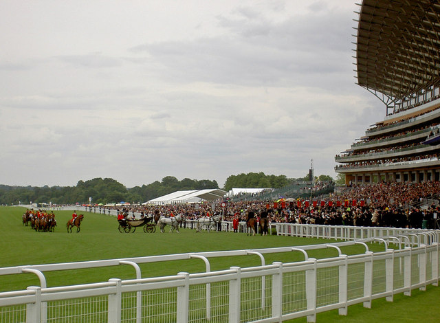
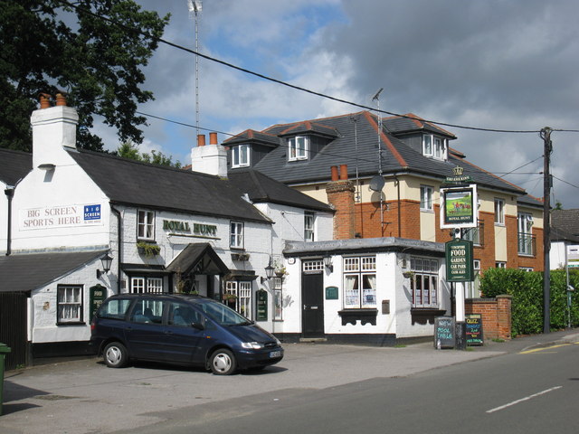
Old Grove Images

Images are sourced within 2km of 51.430187/-0.68050683 or Grid Reference SU9170. Thanks to Geograph Open Source API. All images are credited.

Forest Road, Winkfield Row
Gorse Row, Chavey Down Road A row of old cottages strung out along one of the through roads in Winkfield Row.
<span class="nowrap"><a title="http://www.berkshirehistory.com/villages/winkfield.html" rel="nofollow ugc noopener" href="http://www.berkshirehistory.com/villages/winkfield.html">Link</a><img style="margin-left:2px;" alt="External link" title="External link - shift click to open in new window" src="https://s1.geograph.org.uk/img/external.png" width="10" height="10"/></span>
Gorse Row, Chavey Down Road
A row of old cottages strung out along one of the through roads in Winkfield Row. LinkExternal link
Telephone Exchange, Winkfield Row Situated in Winkfield Row, this redbrick TE also serves Chavey Down, Cranbourne, Maiden's Green, North Ascot, Winkfield and Woodside nearby, in addition to Winkfield Row. Its postcode is RG42 6NG.
Telephone Exchange, Winkfield Row
Situated in Winkfield Row, this redbrick TE also serves Chavey Down, Cranbourne, Maiden's Green, North Ascot, Winkfield and Woodside nearby, in addition to Winkfield Row. Its postcode is RG42 6NG.
Chavey Down Road A green along part of Chavey Down Road with an access road to the houses on the right.
Chavey Down Road
A green along part of Chavey Down Road with an access road to the houses on the right.
Buttercup field, Winkfield A paddock with a good crop of buttercups on the footpath from Winkfield towards Winkfield Row.
Buttercup field, Winkfield
A paddock with a good crop of buttercups on the footpath from Winkfield towards Winkfield Row.
Footpath near Winkfield Row The footpath through the fields from Grove Lane to Braziers Lane.
Footpath near Winkfield Row
The footpath through the fields from Grove Lane to Braziers Lane.
Ascot Major works in progress at Ascot Racecourse.
Ascot
Major works in progress at Ascot Racecourse.
Ascot Racecourse
Ascot Racecourse
Ascot Racecourse
Ascot Racecourse
Ascot Racecourse
Ascot Racecourse
The Royal Box at Ascot Racecourse The Queen (Elizabeth II) and Prince Philip are actually in residence in the box if you look carefully. This was Royal Ascot in June 2006.
The Royal Box at Ascot Racecourse
The Queen (Elizabeth II) and Prince Philip are actually in residence in the box if you look carefully. This was Royal Ascot in June 2006.
'Ladies Day', Royal Ascot Photo taken in the car park, which is in the area enclosed by the track, and is where most people have their picnic lunch before the racing starts.
'Ladies Day', Royal Ascot
Photo taken in the car park, which is in the area enclosed by the track, and is where most people have their picnic lunch before the racing starts.
Ascot: Blackmoor Pond Blackmoor Stream flows into and out of this pond.
Ascot: Blackmoor Pond
Blackmoor Stream flows into and out of this pond.
Ascot Racecourse View taken looking down the straight from the Winkfield Road bridge with the new grandstand on the left.
Ascot Racecourse
View taken looking down the straight from the Winkfield Road bridge with the new grandstand on the left.
All the best vehicles attend Royal Ascot Sewage truck on internal road within Ascot Racecourse.
All the best vehicles attend Royal Ascot
Sewage truck on internal road within Ascot Racecourse.
The Royal Family arrive The Queen arrives in a carriage on the Friday of Royal Ascot.
The Royal Family arrive
The Queen arrives in a carriage on the Friday of Royal Ascot.
The Royal carriages leave after carrying The Queen to the races On the Friday of Royal Ascot.
The Royal carriages leave after carrying The Queen to the races
On the Friday of Royal Ascot.
The Royal Hunt, New Road
Show me another place!

Old Grove is located at Grid Ref: SU9170 (Lat: 51.430187, Lng: -0.68050683)

Unitary Authority: Bracknell Forest

Police Authority: Thames Valley

What 3 Words

///urban.plant.brave. Near Ascot, Berkshire

Related Wikis

Ascot Place

Ascot Place is an 18th-century mansion on the edge of Windsor Great Park, set in 400 acres (1.6 km2) of parkland between Cranbourne, North Ascot and Winkfield...

Brookside, Berkshire

Brookside is a village in the civil parish of Winkfield in the county of Berkshire, England.The settlement lies east of the A332 road and is approximately...

Papplewick School

Papplewick School is a non-selective independent day and boarding preparatory school for boys aged 6–13 (Years 2–8) in Ascot, England. It occupies a 15...

Royal County of Berkshire Polo Club

The Royal County of Berkshire Polo Club is a polo club located near Windsor, Berkshire and home to the Prince of Wales tournament - one of the most coveted...

Nearby Amenities

Located within 500m of 51.430187,-0.68050683
Fuel
Brand: Murco
Lat/Long: 51.4323982/-0.6749173
Brookside Cottage
Place: isolated_dwelling
Lat/Long: 51.4315267/-0.675257
Brookside Farm
Place: farm
Lat/Long: 51.4282295/-0.6744937
Brookside
Place: village
Wikidata: Q9180056
Lat/Long: 51.428902/-0.678772
Hatchetlane Farm
Place: farm
Lat/Long: 51.4302237/-0.6762565
Hurstcroft
Place: isolated_dwelling
Lat/Long: 51.428936/-0.6770455
Milton's Farm
Place: farm
Lat/Long: 51.4315616/-0.6792102
Direction: 175
Generator Method: photovoltaic
Generator Output Electricity: yes
Generator Solar Modules: 8
Generator Source: solar
Generator Type: solar_photovoltaic_panel
Location: roof
Power: generator
Lat/Long: 51.4288299/-0.6792889
Direction: 175
Generator Method: photovoltaic
Generator Output Electricity: yes
Generator Solar Modules: 8
Generator Source: solar
Generator Type: solar_photovoltaic_panel
Location: roof
Power: generator
Lat/Long: 51.4287142/-0.6792657
Direction: 200
Generator Method: photovoltaic
Generator Output Electricity: yes
Generator Solar Modules: 8
Generator Source: solar
Generator Type: solar_photovoltaic_panel
Location: roof
Power: generator
Lat/Long: 51.4261319/-0.6806015
Direction: 200
Generator Method: photovoltaic
Generator Output Electricity: yes
Generator Solar Modules: 10
Generator Source: solar
Generator Type: solar_photovoltaic_panel
Location: roof
Power: generator
Lat/Long: 51.4259615/-0.6807852
Give Way
Source: Bing
Lat/Long: 51.4298215/-0.6791552
Give Way
Lat/Long: 51.4302435/-0.6776805
Colour: yellow
Marker: aerial
Material: metal
Utility: gas
Lat/Long: 51.4314524/-0.6764825
Colour: red and white
Marker: aerial
Material: plastic
Utility: gas
Lat/Long: 51.431439/-0.6764537
Colour: red and white
Marker: aerial
Material: plastic
Utility: gas
Lat/Long: 51.4316049/-0.6759375
Colour: yellow
Marker: post
Material: concrete
Utility: gas
Lat/Long: 51.431599/-0.675932
The data included in this document is from www.openstreetmap.org. The data is made available under ODbL.

Have you been to Old Grove?

Leave your review of Old Grove below (or comments, questions and feedback).