Sargent's Covert
Wood, Forest in Lincolnshire
England
Sargent's Covert

Sargent's Covert is a dense woodland located in Lincolnshire, England. Covering an area of approximately 100 acres, it is one of the largest forests in the region. The woodland is situated in the heart of Lincolnshire's countryside, surrounded by picturesque landscapes and rolling hills.
Sargent's Covert is predominantly composed of deciduous trees, including oak, beech, and ash, which create a diverse and vibrant ecosystem. The thick canopy formed by these trees provides shelter and a suitable habitat for various wildlife species, including deer, foxes, badgers, and numerous bird species.
The forest features a network of well-maintained footpaths and trails, allowing visitors to explore the natural beauty of the area. These paths are perfect for hiking, jogging, or simply enjoying a peaceful walk amidst nature. The forest also offers designated picnic areas, encouraging visitors to have a relaxing outdoor experience.
In addition to its natural beauty, Sargent's Covert holds historical significance. It is believed that the woodland has existed for centuries and played a vital role during the medieval period. Local legends and tales suggest that the forest served as a hiding place for outlaws and highwaymen who sought refuge from the authorities.
Today, Sargent's Covert is cherished by both locals and tourists alike. It serves as a tranquil retreat for nature enthusiasts, offering a serene and peaceful atmosphere away from the hustle and bustle of city life. With its rich biodiversity and captivating history, Sargent's Covert is truly a gem of Lincolnshire's woodlands.
If you have any feedback on the listing, please let us know in the comments section below.
Sargent's Covert Images
Images are sourced within 2km of 53.472816/-0.61980382 or Grid Reference SK9198. Thanks to Geograph Open Source API. All images are credited.


Sargent's Covert is located at Grid Ref: SK9198 (Lat: 53.472816, Lng: -0.61980382)
Unitary Authority: North Lincolnshire
Police Authority: Humberside
What 3 Words
///clinking.mascots.encoding. Near Kirton in Lindsey, Lincolnshire
Nearby Locations
Related Wikis

Northorpe railway station
Northorpe railway station was a railway station in Northorpe, Lincolnshire, England. It opened on 2 April 1849 and closed for passengers on 4 July 1955...

Kirton in Lindsey Town Hall
Kirton in Lindsey Town Hall is a Grade II listed building. It is a community building within the Market Place in Kirton in Lindsey, Lincolnshire, England...
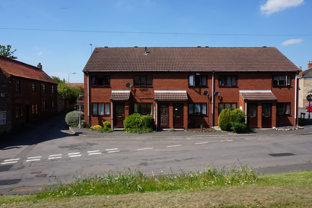
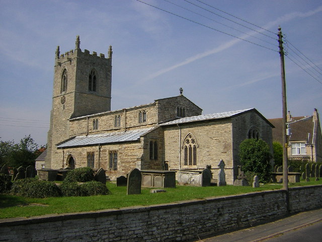
Kirton in Lindsey
Kirton in Lindsey, also abbreviated to Kirton Lindsey, is a market town and civil parish in North Lincolnshire, England. It is 7 miles (11 km) south-east...
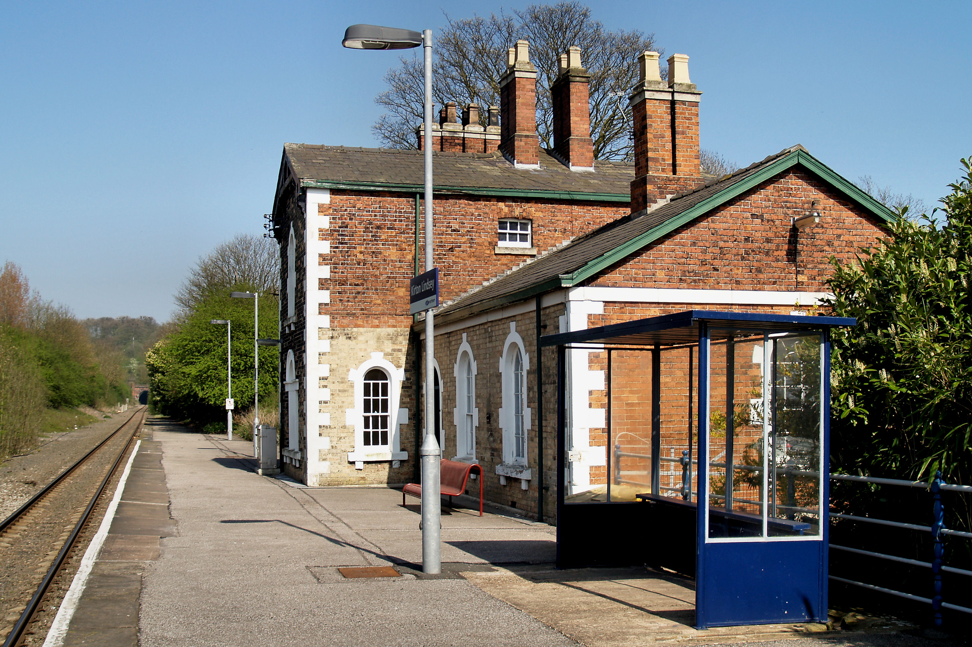
Kirton Lindsey railway station
Kirton Lindsey railway station serves the town of Kirton in Lindsey in North Lincolnshire, Lincolnshire, England. The station was opened in 1849 on the...
Northorpe, West Lindsey
Northorpe is a village and civil parish in the West Lindsey district of Lincolnshire, England, about 8 miles (13 km) north-east from the town of Gainsborough...

Huntcliff School, Kirton in Lindsey
Huntcliff School is a mixed secondary school located in Kirton in Lindsey, North Lincolnshire, England. == History == The school opened as Kirton Lindsey...
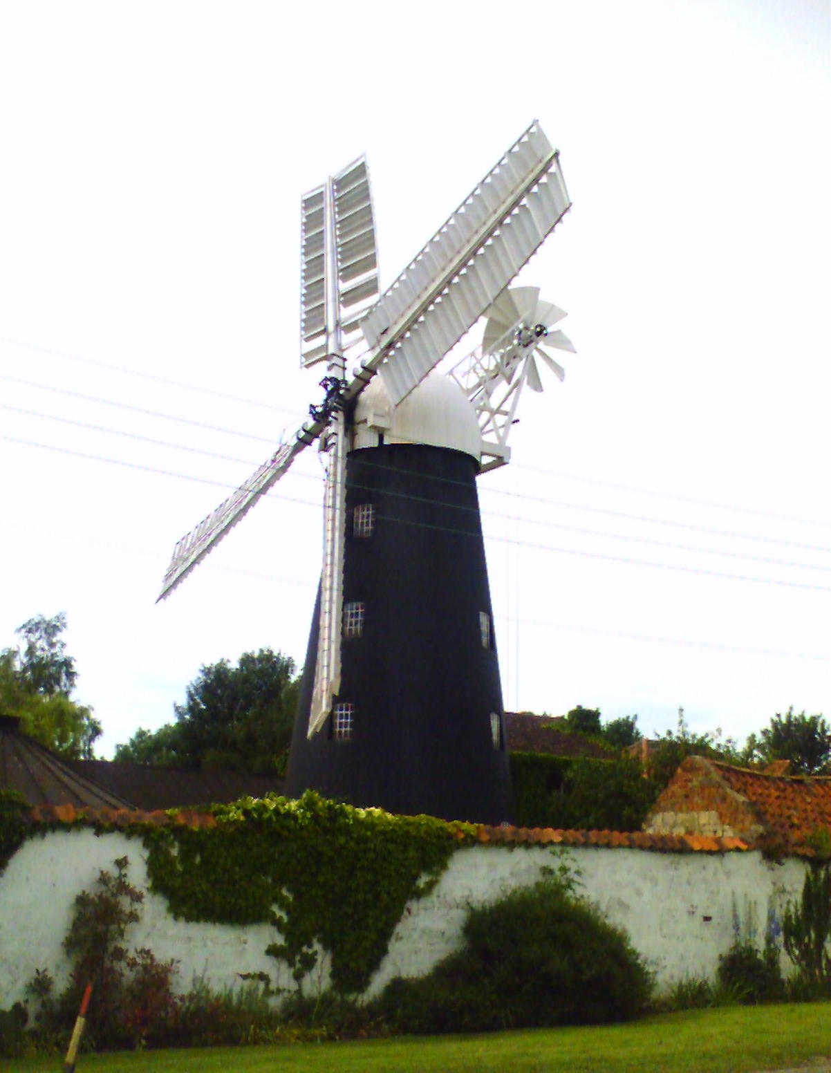
Mount Pleasant Mill
Mount Pleasant Mill is a windmill north of Kirton in Lindsey on the North Cliff Road in North Lincolnshire in the east of England (Yorkshire and the Humber...
Grayingham
Grayingham is a village and civil parish in the West Lindsey district of Lincolnshire, England. The population of the civil parish at the 2011 census was...
Nearby Amenities
Located within 500m of 53.472816,-0.61980382Have you been to Sargent's Covert?
Leave your review of Sargent's Covert below (or comments, questions and feedback).