Heath Spinney
Wood, Forest in Rutland
England
Heath Spinney

Heath Spinney, Rutland, also known as Wood or Forest, is a picturesque area located in the county of Rutland, England. Covering an approximate area of 200 acres, this enchanting woodland is a haven for nature lovers and outdoor enthusiasts.
Heath Spinney is characterized by its dense and ancient trees, predominantly consisting of oak, beech, and ash. These towering trees create a serene and peaceful atmosphere, providing a perfect escape from the hustle and bustle of everyday life. The forest floor is adorned with a rich carpet of wildflowers, adding bursts of color to the landscape.
This woodland is home to a diverse range of wildlife, making it an ideal spot for nature enthusiasts and birdwatchers. Visitors may catch a glimpse of rare bird species, such as the treecreeper or the tawny owl, as they flit through the branches. Squirrels scurry about, and if lucky, one may even spot a shy deer or two.
Heath Spinney offers a network of well-maintained trails, allowing visitors to explore the forest at their own pace. Whether hiking, cycling, or simply taking a leisurely stroll, there are routes suitable for all abilities. Additionally, several picnic spots are scattered throughout the woodland, providing the perfect opportunity to rest and enjoy the tranquil surroundings.
In conclusion, Heath Spinney, Rutland (Wood, Forest) is a captivating woodland retreat that offers an abundance of natural beauty and wildlife. With its ancient trees, vibrant wildflowers, and diverse array of fauna, it provides a peaceful haven for those seeking solace in nature.
If you have any feedback on the listing, please let us know in the comments section below.
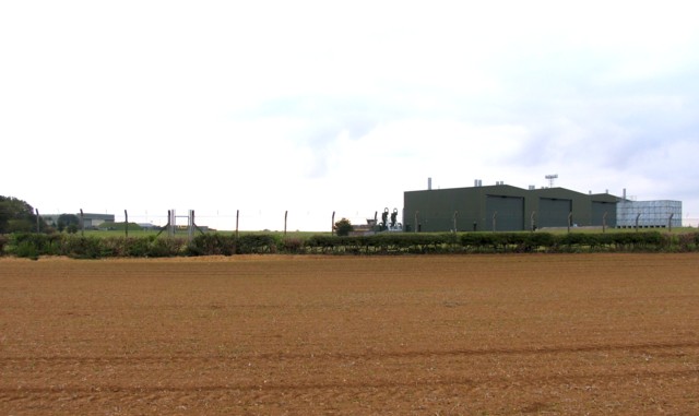
Heath Spinney Images
Images are sourced within 2km of 52.731211/-0.64344263 or Grid Reference SK9115. Thanks to Geograph Open Source API. All images are credited.


Heath Spinney is located at Grid Ref: SK9115 (Lat: 52.731211, Lng: -0.64344263)
Unitary Authority: Rutland
Police Authority: Leicestershire
What 3 Words
///dragging.juggles.speeded. Near Greetham, Rutland
Nearby Locations
Related Wikis

No. 7 Flying Training School RAF
No. 7 Flying Training School (7 FTS) is a former Royal Air Force flying training school that operated between 1935 and 1994.From 1948 to 1954, No 7 Flying...

RAF Cottesmore
Royal Air Force Cottesmore or more simply RAF Cottesmore is a former Royal Air Force station in Rutland, England, situated between Cottesmore and Market...
Kendrew Barracks
Kendrew Barracks is a British Army barracks located 1.1 miles (1.8 km) north east of Cottesmore, Rutland, England. The barracks opened in 2012, on the...
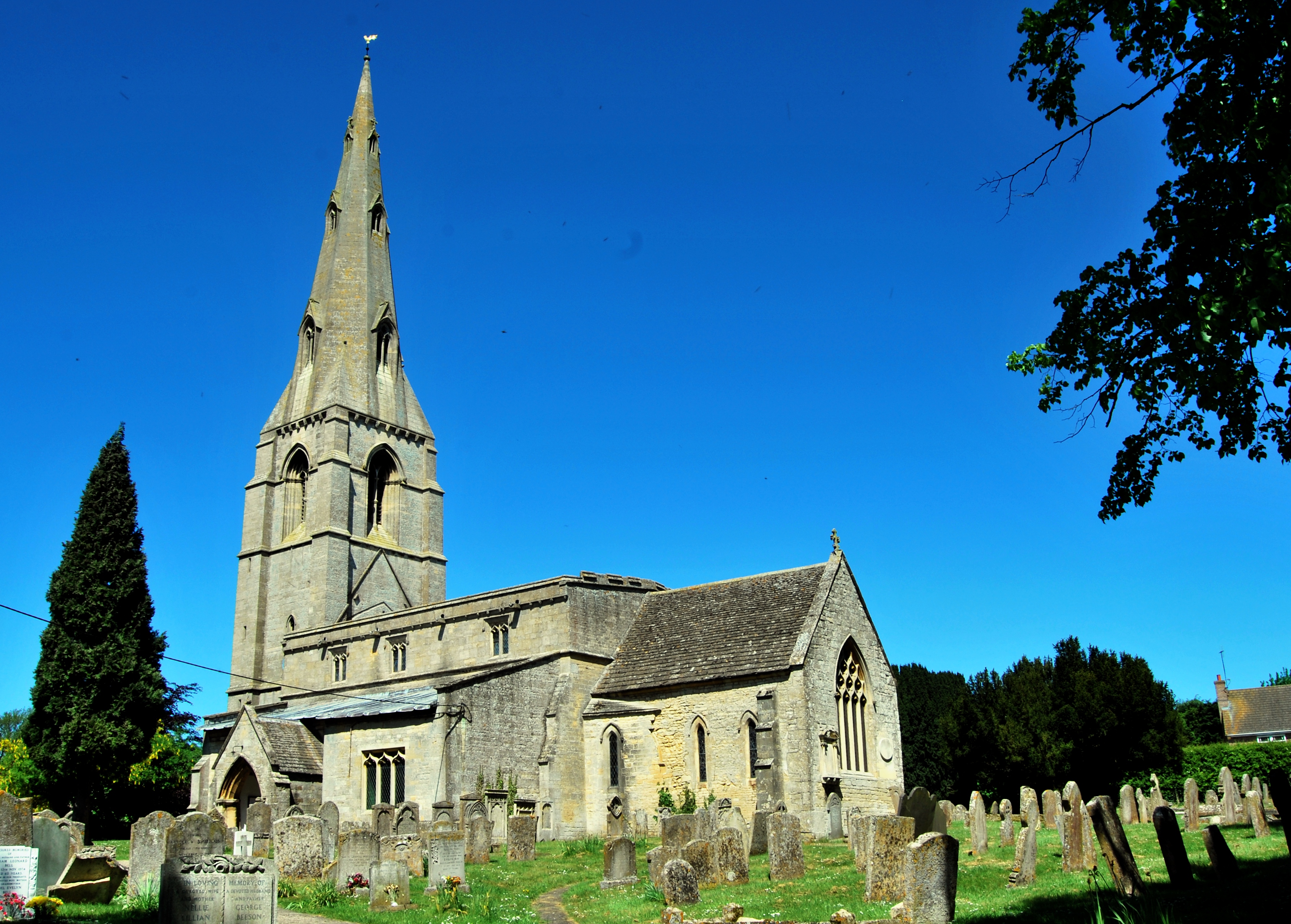
Church of St Mary the Virgin, Greetham
The Church of St Mary the Virgin is the Church of England parish church in Greetham, Rutland. It is a Grade I listed building. == History == The oldest...
Nearby Amenities
Located within 500m of 52.731211,-0.64344263Have you been to Heath Spinney?
Leave your review of Heath Spinney below (or comments, questions and feedback).