Guinea Copse

Wood, Forest in Surrey Waverley

England

Guinea Copse

Moat Pond Car Park near Elstead, Surrey A public car park in woodland near the village of Elstead in Surrey.
Moat Pond Car Park near Elstead, Surrey Credit: Malc McDonald

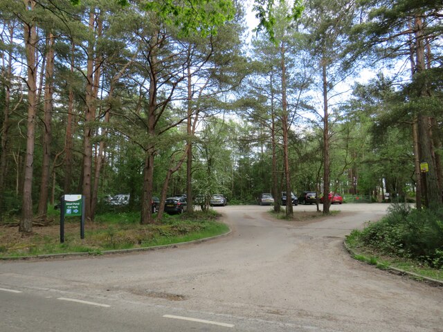
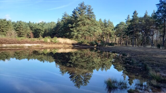
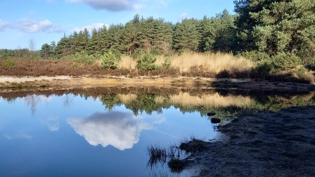
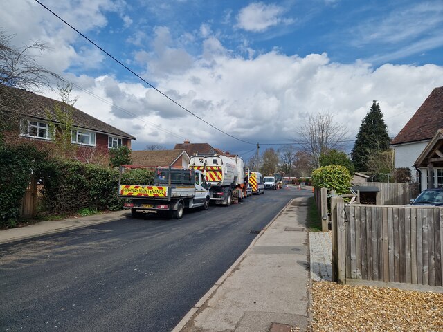
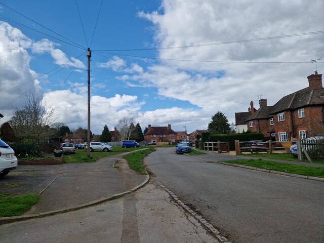
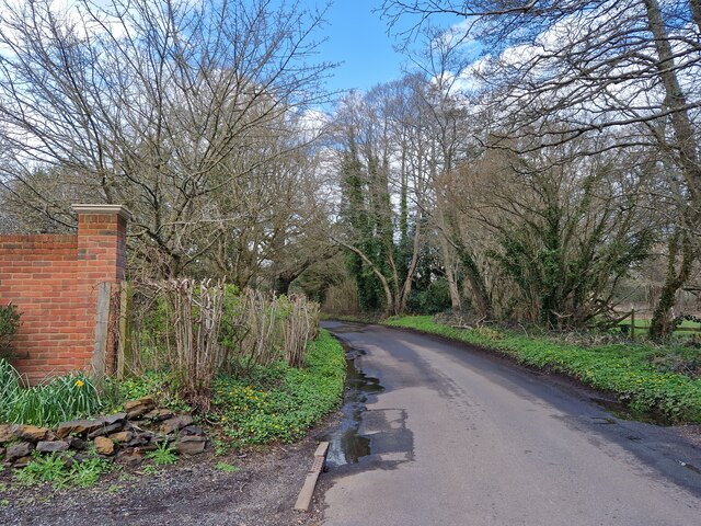
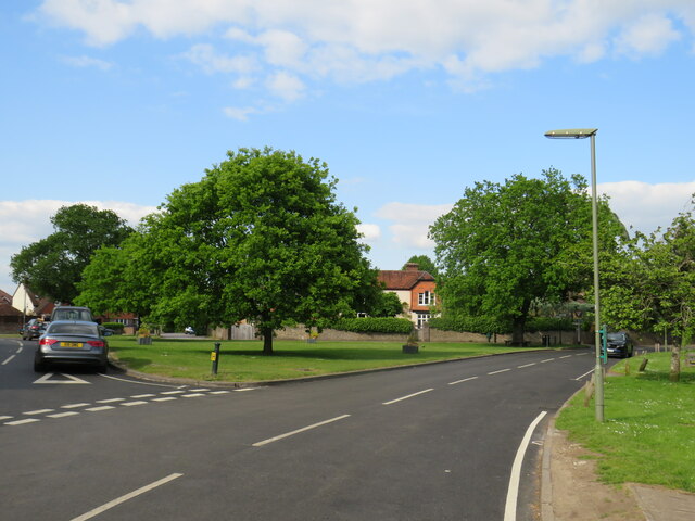
Guinea Copse is a picturesque woodland located in Surrey, England. Covering an area of approximately 50 acres, it is nestled within the larger Surrey Hills Area of Outstanding Natural Beauty. The copse is situated near the village of Shere and is easily accessible by foot or bicycle.

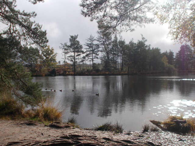
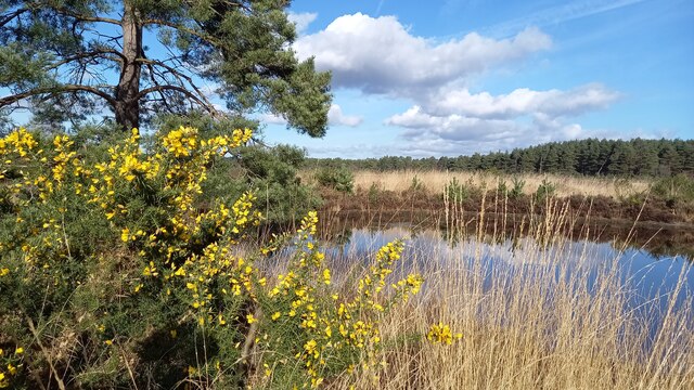
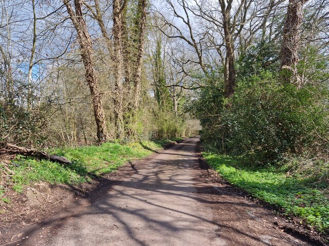
The woodland is characterized by its dense canopy of deciduous trees, predominantly oak and beech, which form a stunning display of vibrant colors during the autumn months. The forest floor is adorned with a carpet of wildflowers, including bluebells, primroses, and wood anemones, creating a serene and enchanting atmosphere.

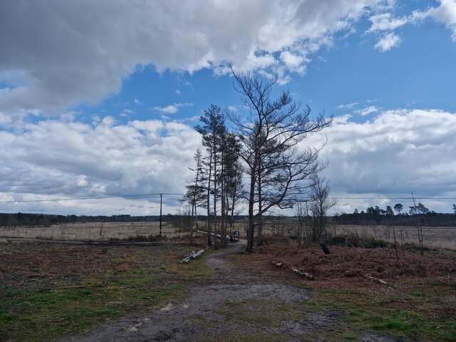
Visitors to Guinea Copse can enjoy a network of well-maintained footpaths that wind through the woods, offering opportunities for leisurely walks and peaceful contemplation. There are also designated picnic areas where families and friends can relax and enjoy the tranquility of the surroundings.

The copse is home to a diverse range of wildlife, providing a haven for various bird species, such as woodpeckers, thrushes, and warblers. Small mammals, including squirrels and rabbits, can also be spotted among the trees. Nature enthusiasts will appreciate the abundance of flora and fauna that thrive within this natural habitat.

Guinea Copse is a popular destination for outdoor enthusiasts, photographers, and nature lovers alike, who are drawn to its idyllic setting and peaceful ambiance. Whether exploring the woodland trails, observing the local wildlife, or simply unwinding in the beauty of nature, a visit to Guinea Copse is sure to provide a rejuvenating experience for all.

If you have any feedback on the listing, please let us know in the comments section below.
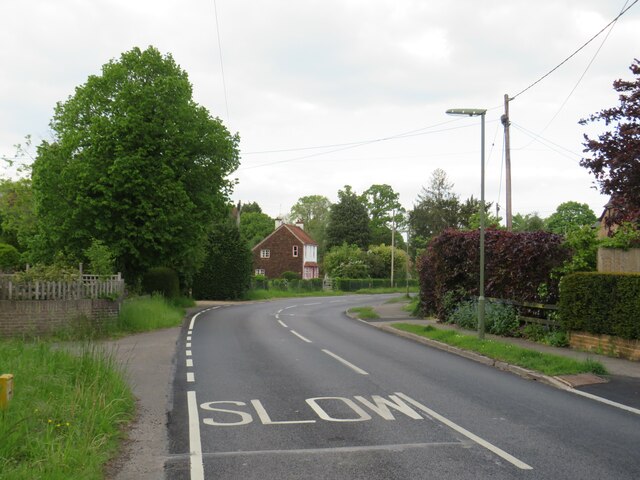
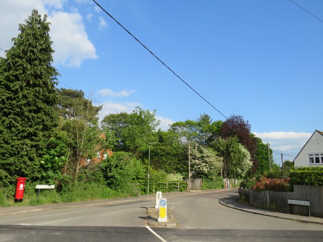
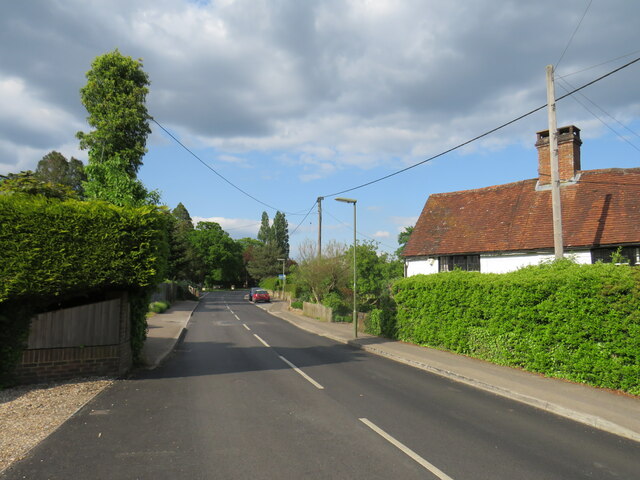
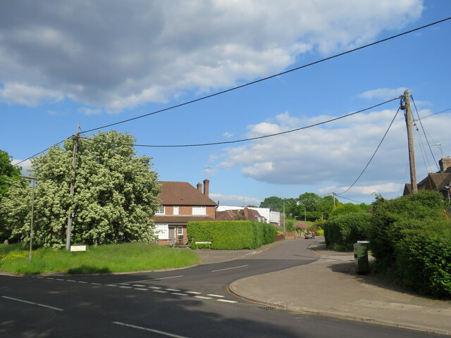
Guinea Copse Images

Images are sourced within 2km of 51.176021/-0.69263822 or Grid Reference SU9142. Thanks to Geograph Open Source API. All images are credited.

Moat Pond Car Park near Elstead, Surrey A public car park in woodland near the village of Elstead in Surrey.
Moat Pond Car Park near Elstead, Surrey
A public car park in woodland near the village of Elstead in Surrey.
Moat Pond, Thursley Common
Barn at Oxenford Grange It was built in 1843 by Augustus Welby Northmore Pugin in Medieval Gothic style of sandstone rubble with ashlar dressings. It has a plain tiled roof, part restored, with ridge cresting and gable end pinnacles. It is rectangular, with pentice roofed aisle extensions to side. There are five bays with gabled, opposing, entrances to centre, offset flanking buttresses and octagonal gable finial. There are rectangular breathers to both and sides, three to either side alternating with buttresses. There are double doors to centre on both sides with stable doors to side. Interior - main roof trusses on corbels with cross braced roof <span class="nowrap"><a title="https://www.britishlistedbuildings.co.uk/101334359" rel="nofollow ugc noopener" href="https://www.britishlistedbuildings.co.uk/101334359">Link</a><img style="margin-left:2px;" alt="External link" title="External link - shift click to open in new window" src="https://s1.geograph.org.uk/img/external.png" width="10" height="10"/></span>
Barn at Oxenford Grange
It was built in 1843 by Augustus Welby Northmore Pugin in Medieval Gothic style of sandstone rubble with ashlar dressings. It has a plain tiled roof, part restored, with ridge cresting and gable end pinnacles. It is rectangular, with pentice roofed aisle extensions to side. There are five bays with gabled, opposing, entrances to centre, offset flanking buttresses and octagonal gable finial. There are rectangular breathers to both and sides, three to either side alternating with buttresses. There are double doors to centre on both sides with stable doors to side. Interior - main roof trusses on corbels with cross braced roof LinkExternal link
Elstead Common Nature reserve with blooming gorse beside a heathland pond.
Elstead Common
Nature reserve with blooming gorse beside a heathland pond.
Elstead Common - Pond Nature reserve and heathland - reflective scene on the edge of coniferous woodland.
Elstead Common - Pond
Nature reserve and heathland - reflective scene on the edge of coniferous woodland.
Elstead Common Small pond on heathland in a nature reserve.
Elstead Common
Small pond on heathland in a nature reserve.
Navigating northwards along the Bashir (9 ) Road ahead closed at Elstead
Navigating northwards along the Bashir (9 )
Road ahead closed at Elstead
Navigating northwards up the Bashir (8) Path east of Moat Pond
Navigating northwards up the Bashir (8)
Path east of Moat Pond
Navigating northwards up the Bashir (10) Road works at Elstead
Navigating northwards up the Bashir (10)
Road works at Elstead
Springfield: early April 2023 (taken from the junction with Bankside Close)
Springfield: early April 2023
(taken from the junction with Bankside Close)
Navigating northwards up the Basher (11) Taken in Fulbrook Lane, just past Thundry Farm
Navigating northwards up the Basher (11)
Taken in Fulbrook Lane, just past Thundry Farm
Looking eastwards in Ham Lane
Thursley Road, Pot Common, near Elstead Thursley Road is a minor road in Surrey,  Here it passes through the hamlet of Pot Common as it approaches the village of Elstead.
Thursley Road, Pot Common, near Elstead
Thursley Road is a minor road in Surrey, Here it passes through the hamlet of Pot Common as it approaches the village of Elstead.
Thursley Road, Elstead, near Farnham Thursley Road entering the village of Elstead in Surrey.
Thursley Road, Elstead, near Farnham
Thursley Road entering the village of Elstead in Surrey.
Red House Lane, Elstead, near Farnham Red House Lane is a minor road in the village of Elstead in Surrey.
Red House Lane, Elstead, near Farnham
Red House Lane is a minor road in the village of Elstead in Surrey.
Thursley Road, Elstead, near Farnham Thursley Road is a minor road leading into the village of Elstead in Surrey.
Thursley Road, Elstead, near Farnham
Thursley Road is a minor road leading into the village of Elstead in Surrey.
West Hill, Elstead, near Farnham West Hill is a residential road in Elstead, a village in Surrey.
West Hill, Elstead, near Farnham
West Hill is a residential road in Elstead, a village in Surrey.
The Green, Elstead, near Farnham The Green in the village of Elstead in Surrey.
The Green, Elstead, near Farnham
The Green in the village of Elstead in Surrey.
Show me another place!

Guinea Copse is located at Grid Ref: SU9142 (Lat: 51.176021, Lng: -0.69263822)

Administrative County: Surrey

District: Waverley

Police Authority: Surrey

What 3 Words

///repaid.notch.different. Near Elstead, Surrey

Nearby Locations

Guinea Common Guinea Copse

Related Wikis

Elstead

Elstead is a civil parish in Surrey, England with shops, houses and cottages spanning the north and south sides of the River Wey; development is concentrated...

Elstead Group of Commons

Elstead Group of Commons is a 180-hectare (440-acre) nature reserve east of Elstead in Surrey. It is composed of Royal, Elstead and Ockley Commons, which...

Oxenford Farm

Oxenford Farm is a former abbey farm, a dependency of Waverley Abbey in the civil parish of Witley, Surrey, England, with several listed buildings around...

Thursley Common

Thursley Common is a national nature reserve in Surrey, England, and has also been designated as a Ramsar wetland. It is also part of a Site of Special...

Rodborough Common, Surrey

Rodborough Common is a 62.2-hectare (154-acre) Local Nature Reserve west of Milford in Surrey. It is owned by Surrey County Council and managed by Surrey...

Charleshill SSSI

Charleshill SSSI is a 10.1-hectare (25-acre) biological Site of Special Scientific Interest west of Elstead in Surrey. It is part of Thundry Meadows nature...

Thundry Meadows

Thundry Meadows is a 16-hectare (40-acre) nature reserve in Elstead in Surrey. It is managed by the Surrey Wildlife Trust. Part of it is Charleshill Site...

Peper Harow

Peper Harow is a rural village and civil parish in southwest Surrey close to the town of Godalming. It was a noted early cricket venue. Its easternmost...

Nearby Amenities

Located within 500m of 51.176021,-0.69263822
Power: pole
Lat/Long: 51.1767902/-0.6860957
Power: pole
Lat/Long: 51.1774977/-0.6873618
Power: pole
Lat/Long: 51.1782423/-0.6886418
Power: pole
Lat/Long: 51.1790967/-0.6901703
Barrier: kissing_gate
Lat/Long: 51.1734484/-0.6977755
Barrier: stile
Material: wood
Step Count: 1
Stile: stepover
Lat/Long: 51.1732318/-0.6974671
The data included in this document is from www.openstreetmap.org. The data is made available under ODbL.

Have you been to Guinea Copse?

Leave your review of Guinea Copse below (or comments, questions and feedback).