Cherry Holt
Wood, Forest in Lincolnshire North Kesteven
England
Cherry Holt
Cherry Holt is a small village located in Lincolnshire, England. Situated in the district of North Kesteven, it is part of the civil parish of Wood, Forest. The village is surrounded by picturesque countryside and is known for its tranquil and rural setting.
Cherry Holt is home to a tight-knit community, with a population of around 200 residents. The village offers a peaceful and serene atmosphere, making it an ideal place for those seeking a quiet and idyllic lifestyle. The village is primarily residential, with a mix of traditional cottages and modern houses.
Despite its small size, Cherry Holt is well-connected to nearby towns and cities. The village is just a short drive away from Sleaford, a market town known for its rich history and vibrant community. Additionally, Lincoln, a historic city famous for its stunning cathedral and medieval architecture, is easily accessible from Cherry Holt.
The surrounding area of Cherry Holt offers plenty of opportunities for outdoor activities and exploration. The nearby Lincolnshire Wolds, an Area of Outstanding Natural Beauty, provides stunning landscapes and walking trails. Wildlife enthusiasts can also enjoy the nearby Woodland Trust sites, which are home to a variety of flora and fauna.
Overall, Cherry Holt offers a peaceful and scenic environment, making it an attractive place to live for those seeking a rural lifestyle with easy access to nearby amenities and natural beauty.
If you have any feedback on the listing, please let us know in the comments section below.
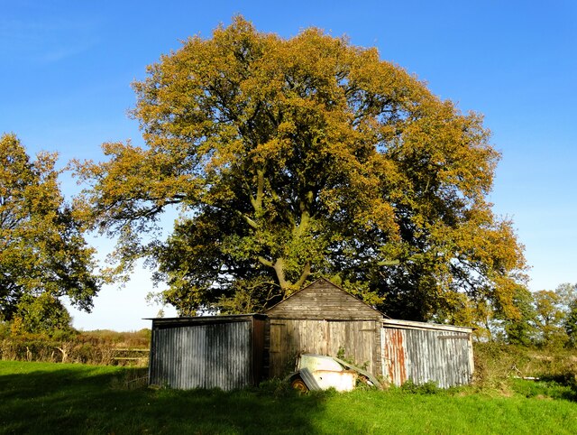
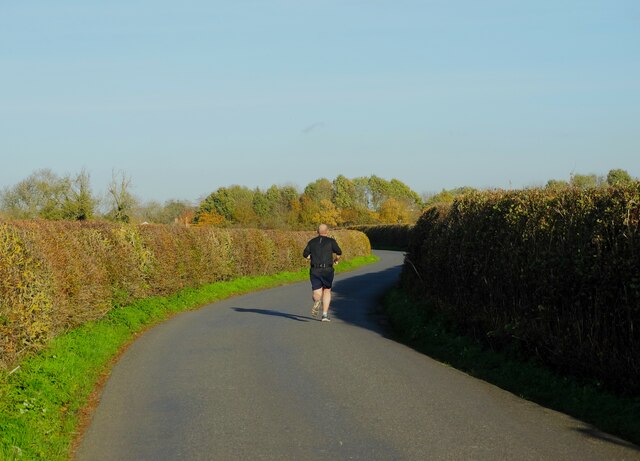
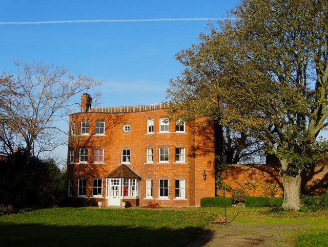
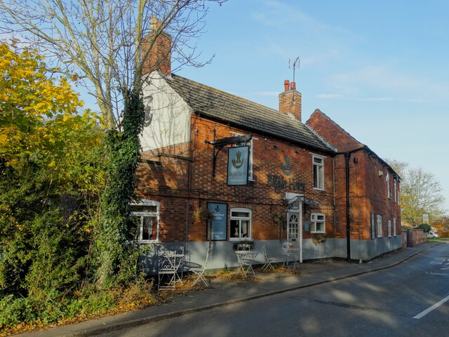
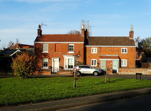
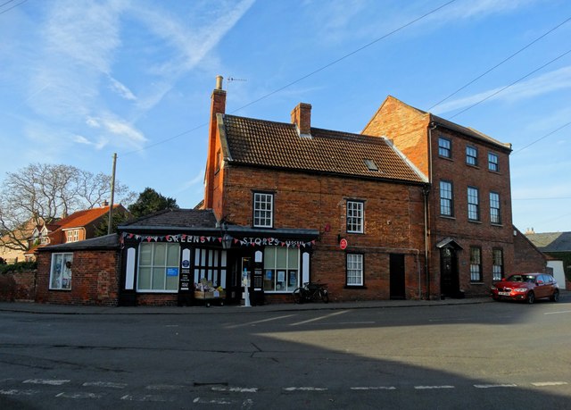
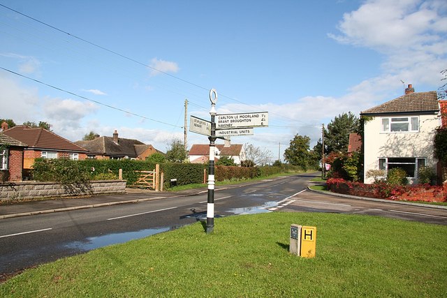
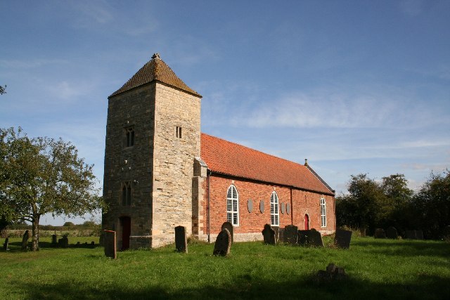
Cherry Holt Images
Images are sourced within 2km of 53.114816/-0.63506036 or Grid Reference SK9158. Thanks to Geograph Open Source API. All images are credited.


Cherry Holt is located at Grid Ref: SK9158 (Lat: 53.114816, Lng: -0.63506036)
Administrative County: Lincolnshire
District: North Kesteven
Police Authority: Lincolnshire
What 3 Words
///seats.inserting.passports. Near Bassingham, Lincolnshire
Nearby Locations
Related Wikis

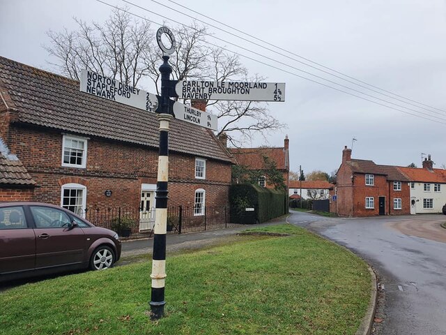
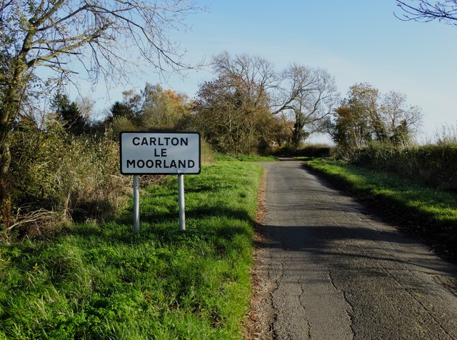
Carlton-le-Moorland
Carlton-le-Moorland, is a village and civil parish in the North Kesteven district of Lincolnshire, England, between Newark-on-Trent and Lincoln. The parish...
Bassingham
Bassingham is a village and civil parish in the North Kesteven district of Lincolnshire, England. The population of the civil parish at the 2011 census...

Skinnand
Skinnand is a deserted medieval village in Lincolnshire, England. It was a small farming community situated 9 miles (14 km) south of Lincoln and 11.5 miles...

Norton Disney
Norton Disney is a small village and civil parish on the western boundary of the North Kesteven district of Lincolnshire, England. It is situated on the...
Stapleford, Lincolnshire
Stapleford is a village and civil parish in North Kesteven district of Lincolnshire, England, and about 6 miles (10 km) north-east from the town of Newark...

Thurlby, North Kesteven
Thurlby is a village and civil parish in the North Kesteven district of Lincolnshire, England, about 9 miles (14 km) south-west of the city of Lincoln...

Somerton Castle
Somerton Castle is located approximately 1 mile (1.6 km) west of the village of Boothby Graffoe in Lincolnshire, England and to the south of the city of...

Brant Broughton
Brant Broughton (pronounced Brew-ton) is a small village in the Brant Broughton and Stragglethorpe civil parish (where the population is listed), in the...
Nearby Amenities
Located within 500m of 53.114816,-0.63506036Have you been to Cherry Holt?
Leave your review of Cherry Holt below (or comments, questions and feedback).