Lane End Field
Wood, Forest in Sussex Chichester
England
Lane End Field
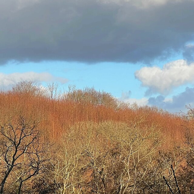
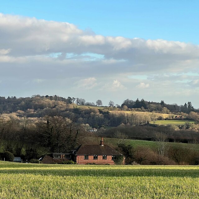
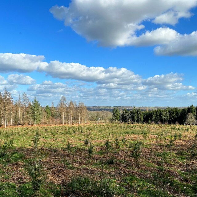
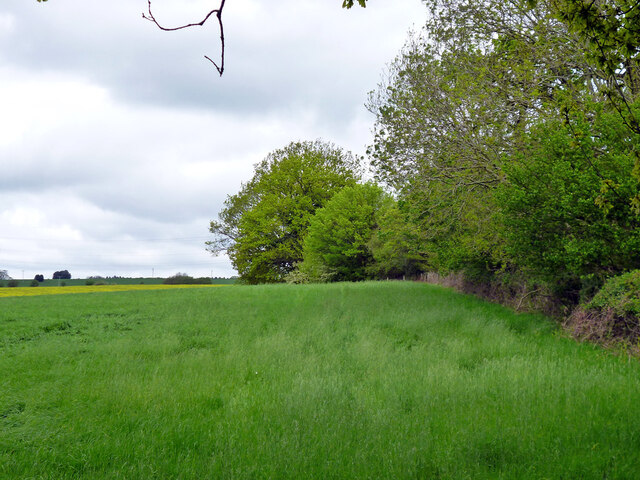
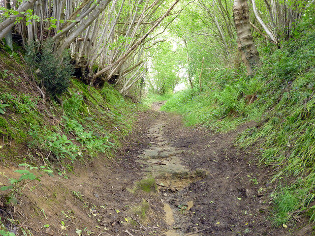
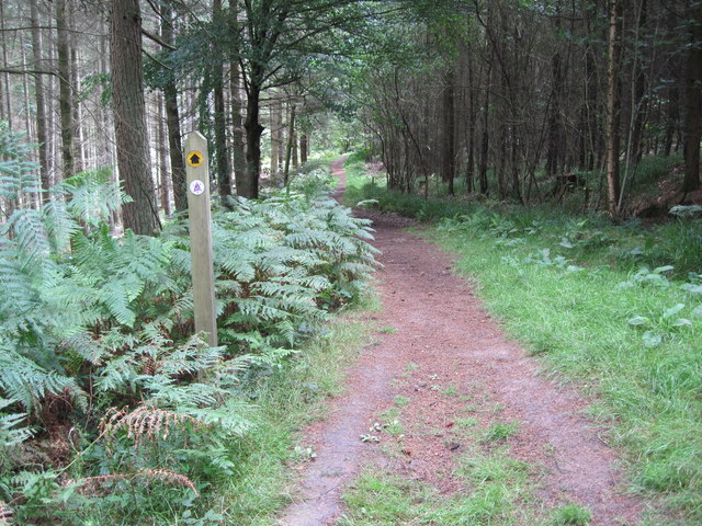
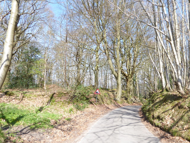
Lane End Field is a picturesque woodland area located in Sussex, England. Spanning over several acres, this enchanting forest is known for its untouched natural beauty, diverse range of flora and fauna, and its peaceful ambiance. The field is nestled within a rural setting, surrounded by rolling hills and meadows, offering visitors a tranquil retreat from the hustle and bustle of everyday life.
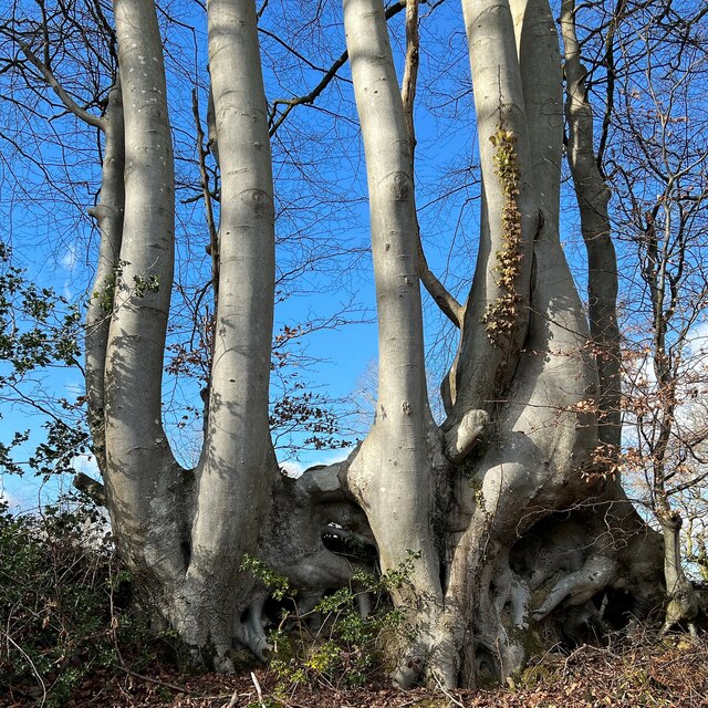
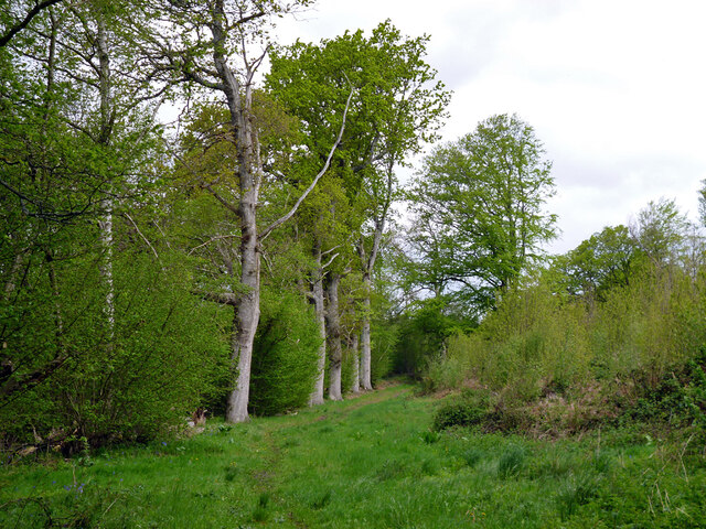
The woodland is characterized by a dense canopy of trees, including oak, beech, and birch, which provide shade and shelter to an array of wildlife species. The forest floor is covered with a lush carpet of ferns, wildflowers, and mosses, creating a vibrant and colorful tapestry.
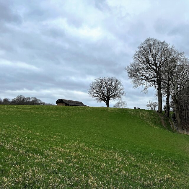
Visitors to Lane End Field can enjoy a variety of activities, including hiking, birdwatching, and nature photography. The forest is crisscrossed with well-maintained trails, allowing visitors to explore its hidden nooks and crannies.
The field is also home to a wide range of wildlife, including deer, foxes, rabbits, and numerous bird species. Nature enthusiasts can spot woodpeckers, owls, and even the occasional sparrowhawk soaring through the treetops. The forest is a haven for birdwatchers, offering a peaceful environment to observe and appreciate the diverse avian population.
Lane End Field is a true gem in the heart of Sussex, captivating visitors with its untouched natural beauty, abundant wildlife, and serene atmosphere. Whether one seeks an escape from the city or a chance to immerse oneself in nature, this woodland oasis provides an idyllic setting for all.
If you have any feedback on the listing, please let us know in the comments section below.
Lane End Field Images
Images are sourced within 2km of 51.014031/-0.69848097 or Grid Reference SU9124. Thanks to Geograph Open Source API. All images are credited.


Lane End Field is located at Grid Ref: SU9124 (Lat: 51.014031, Lng: -0.69848097)
Administrative County: West Sussex
District: Chichester
Police Authority: Sussex
What 3 Words
///guard.guarding.forwarded. Near Fernhurst, West Sussex
Nearby Locations
Related Wikis

Midhurst transmitting station
The Midhurst transmitting station is a facility for both analogue and digital VHF/FM radio and UHF television transmission, 3.1 miles (5.0 km) northeast...

Northpark Copse to Snapelands Copse
Northpark Copse to Snapelands Copse is a 101.4-hectare (251-acre) biological Site of Special Scientific Interest north of Midhurst in West Sussex.This...

Lodsworth
Lodsworth is a small village, ecclesiastical parish and civil parish in the Chichester district of West Sussex, England. It is situated between Midhurst...

Queen Elizabeth Oak
The Queen Elizabeth Oak is a large sessile oak tree in Cowdray Park near the village of Lodsworth in the Western Weald, West Sussex, England. It lies...
Midhurst Intermediate School
Midhurst Intermediate School (1970-2008) was a maintained comprehensive middle-deemed-secondary school for pupils aged 10 to 13. It was one of only 11...

Easebourne
Easebourne () is a village, Anglican parish and civil parish in the Chichester District of West Sussex, England. It is half a mile (0.8 km) north of Midhurst...
Easebourne Priory
Easebourne Priory was a priory in Easebourne, West Sussex, England. The Nativity of the Blessed Virgin Mary was built as an Augustinian nunnery for a prioress...

Cooksbridge Meadow
Cooksbridge Meadow is a 9-hectare (22-acre) nature reserve south of Fernhurst in Sussex. It is managed by the Sussex Wildlife Trust.Most of this site...
Related Videos

I WENT SLIPPIN' AND SLIDIN' ON THIS WALK!!! | #midhurst #thegrandnational #vlog #southdowns
A trip to the Midhurst Transmitter from Woolbeding to burn-off some energy whilst the Grand National race is on, whilst seeing the ...

MIDHURST TRANSMITTER IN A MINUTE (or so)! | #southdowns #midhurst #vlog
A brief trip to the Midhurst Transmitter to burn-off some energy, whilst seeing the green and glorious countryside in West Sussex.

Bluebells at Cowdray
Take a walk with me through the stunning bluebells at Cowdray Park near Midhurst, on a beautiful spring morning #bluebells ...

The General Wine Company English Wine Producer Spotlight - Blackdown Ridge Estate
Watch our interview between local boutique English wine producer, Lucinda Colucci from the Blackdown Ridge Estate and Debs ...
Nearby Amenities
Located within 500m of 51.014031,-0.69848097Have you been to Lane End Field?
Leave your review of Lane End Field below (or comments, questions and feedback).