Cringle Plantations
Wood, Forest in Lincolnshire South Kesteven
England
Cringle Plantations
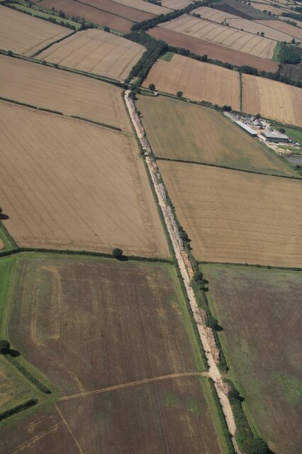
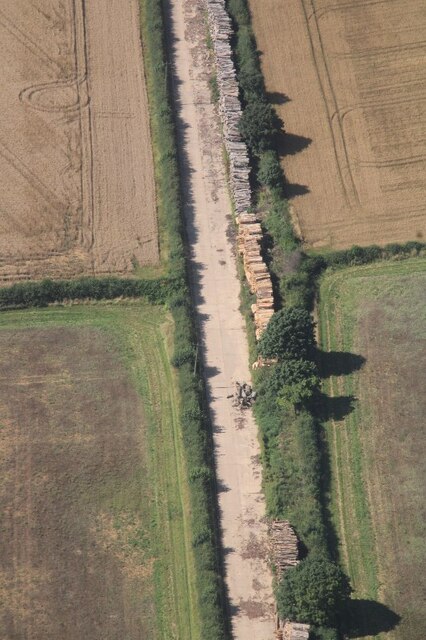
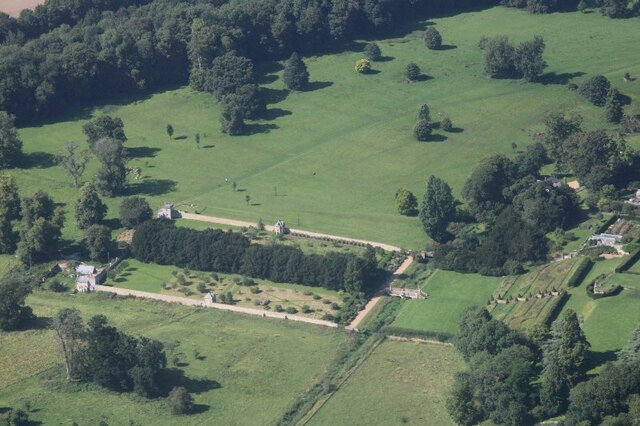
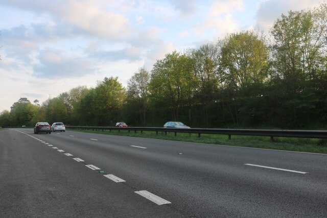
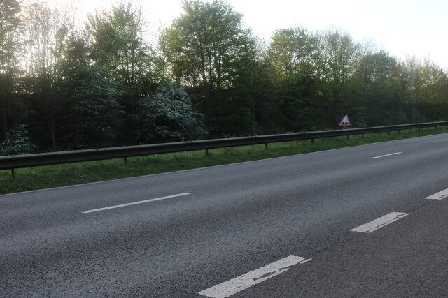
Cringle Plantations is a picturesque woodland located in the county of Lincolnshire, England. Situated in the heart of the region, it covers a vast area of approximately 500 acres. The plantation is known for its dense forest, consisting mainly of mature oak trees, but also featuring a variety of other native species such as birch, beech, and pine.
This woodland has been carefully managed for many years, with a focus on preserving its natural beauty and ecological balance. The trees are periodically thinned to ensure healthy growth and allow sunlight to reach the forest floor, promoting the growth of understory plants and providing a diverse habitat for wildlife.
Cringle Plantations is a popular destination for nature enthusiasts and outdoor enthusiasts alike. It offers numerous walking trails, allowing visitors to explore and experience the tranquility of the woodland. The well-maintained paths wind through the forest, offering glimpses of flora and fauna that call this place their home.
Apart from its natural beauty, Cringle Plantations also serves as an important ecological site. It provides a sanctuary for various bird species, including woodpeckers, owls, and songbirds. Mammals such as deer, foxes, and rabbits can also be spotted within the woodland.
The plantation is managed by the local forestry commission, ensuring its long-term sustainability and conservation. It is open to the public throughout the year, welcoming visitors to immerse themselves in the peaceful surroundings and appreciate the wonders of nature at Cringle Plantations.
If you have any feedback on the listing, please let us know in the comments section below.
Cringle Plantations Images
Images are sourced within 2km of 52.825254/-0.64557659 or Grid Reference SK9126. Thanks to Geograph Open Source API. All images are credited.


Cringle Plantations is located at Grid Ref: SK9126 (Lat: 52.825254, Lng: -0.64557659)
Administrative County: Lincolnshire
District: South Kesteven
Police Authority: Lincolnshire
What 3 Words
///lace.sapping.fantastic. Near Colsterworth, Lincolnshire
Nearby Locations
Related Wikis

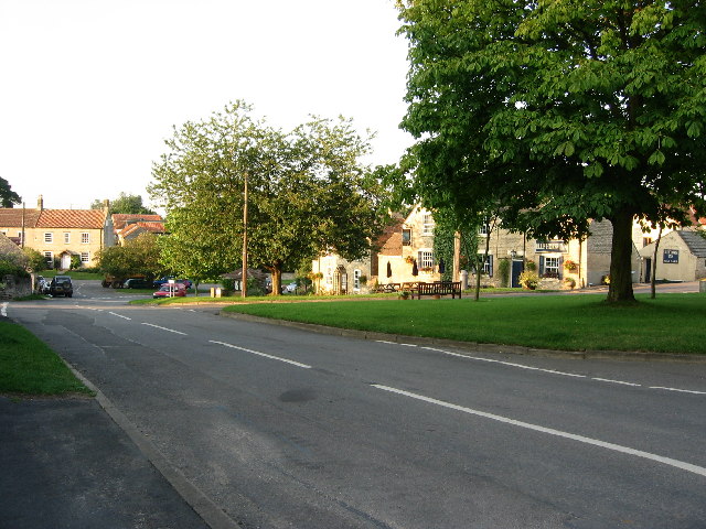
Stoke Rochford
Stoke Rochford is a small English village and civil parish 5.5 miles (9 km) south of Grantham in the South Kesteven district of Lincolnshire. The population...

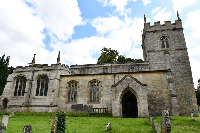
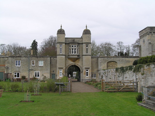
St Andrew and St Mary's Church, Stoke Rochford
St Andrew and St Mary's Church is a Grade I listed Church of England parish church dedicated to Saint Andrew and Saint Mary, in the parish of Easton and...
Skillington
Skillington is a village and civil parish in the South Kesteven district of Lincolnshire, England. The population of the civil parish at the 2021 census...
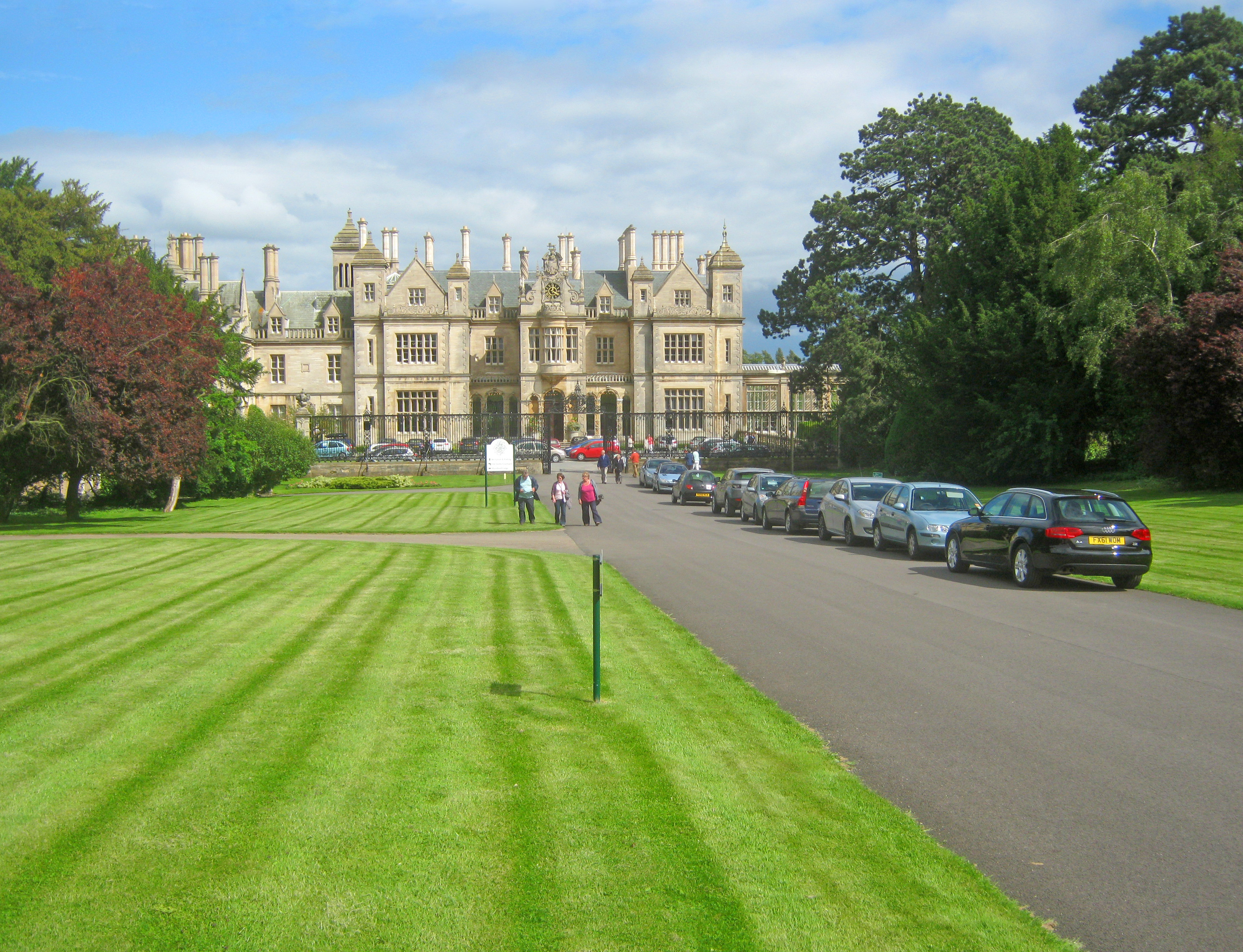
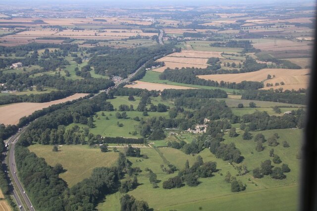
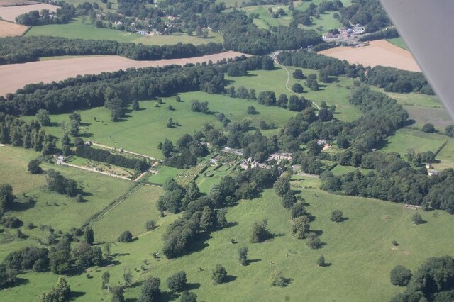
Stoke Rochford Hall
Stoke Rochford Hall is a large house built in scenic grounds, with a nearby golf course, next to the A1 in south Lincolnshire, England. The parkland and...
Woolsthorpe-by-Colsterworth
Woolsthorpe-by-Colsterworth (to distinguish it from Woolsthorpe-by-Belvoir in the same county) is a hamlet in the South Kesteven district of Lincolnshire...

Isaac Newton's apple tree
Isaac Newton's apple tree at Woolsthorpe Manor represents the inspiration behind Sir Isaac Newton's theory of gravity. While the precise details of the...
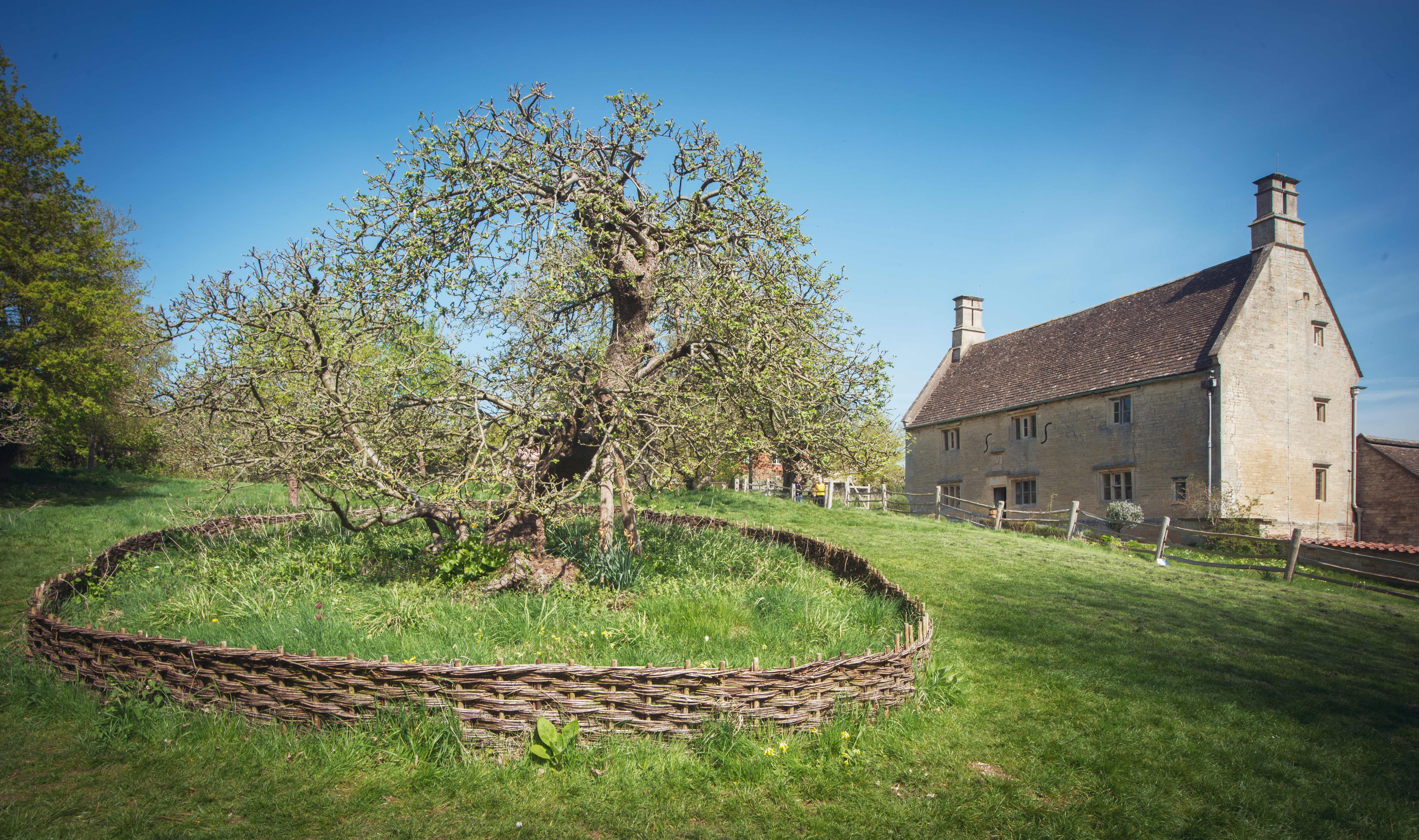
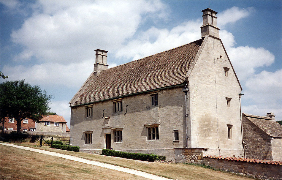
Woolsthorpe Manor
Woolsthorpe Manor in Woolsthorpe-by-Colsterworth, near Grantham, Lincolnshire, England, is the birthplace and was the family home of Sir Isaac Newton....
Easton, Lincolnshire
Easton is a village in the South Kesteven district of Lincolnshire, England, almost 2 miles (3.2 km) north of Colsterworth, and 1 mile (1.6 km) east of...
Nearby Amenities
Located within 500m of 52.825254,-0.64557659Have you been to Cringle Plantations?
Leave your review of Cringle Plantations below (or comments, questions and feedback).