Grayswood Copse
Wood, Forest in Surrey Waverley
England
Grayswood Copse
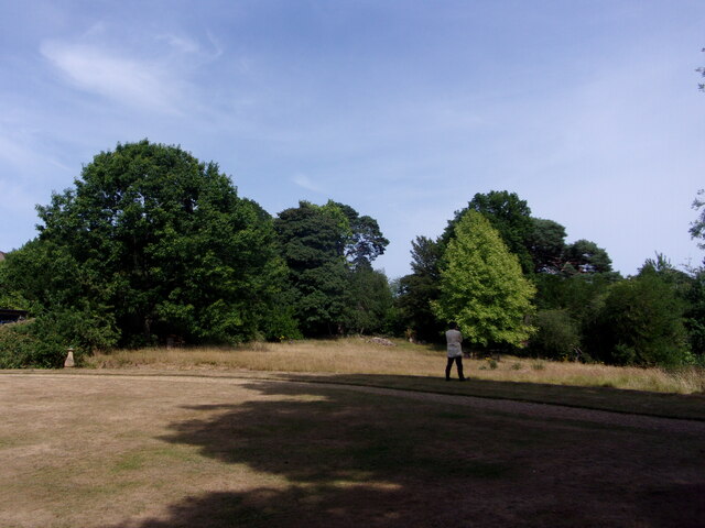
Grayswood Copse is a picturesque woodland located in Surrey, England. Covering an area of approximately 100 acres, this enchanting forest is known for its serene beauty and diverse flora and fauna.
The copse is predominantly made up of oak and beech trees, which create a dense canopy that provides shade and shelter for a variety of wildlife. Walking through the woodland, visitors can expect to see an array of native plants, including bluebells, wood anemones, and primroses, which add vibrant splashes of color to the forest floor during springtime.
The woodland is also home to a rich and diverse wildlife population. Birdwatchers will be delighted to spot species such as woodpeckers, owls, and thrushes, while keen observers may even catch a glimpse of elusive mammals like deer and foxes. The presence of a small stream running through the copse provides a source of water for these creatures, enhancing the biodiversity of the area.
Grayswood Copse is a popular destination for nature lovers and outdoor enthusiasts, offering a tranquil escape from the bustling city life. The woodland features a network of well-maintained footpaths, allowing visitors to explore the copse at their own pace. These paths wind their way through the trees, providing opportunities for leisurely walks or invigorating hikes.
With its natural beauty, diverse wildlife, and peaceful atmosphere, Grayswood Copse is a haven for nature enthusiasts and a cherished part of the Surrey countryside. Whether it's a leisurely stroll or a wildlife-watching adventure, this woodland offers an unforgettable experience for visitors of all ages.
If you have any feedback on the listing, please let us know in the comments section below.
Grayswood Copse Images
Images are sourced within 2km of 51.103666/-0.69652269 or Grid Reference SU9134. Thanks to Geograph Open Source API. All images are credited.


Grayswood Copse is located at Grid Ref: SU9134 (Lat: 51.103666, Lng: -0.69652269)
Administrative County: Surrey
District: Waverley
Police Authority: Surrey
What 3 Words
///zebra.bubble.slanting. Near Haslemere, Surrey
Nearby Locations
Related Wikis

All Saints' Church, Grayswood
All Saints' Church is an active parish church in the village of Grayswood, Surrey, England. The church stands in the centre of the village and was built...

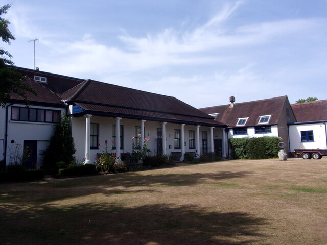
Oak Hall, Haslemere
Oak Hall at Haslemere, Surrey, England is a Grade II listed country house. As of 2013 it houses Oak Hall Country Club, part of the Wispers Park retirement...

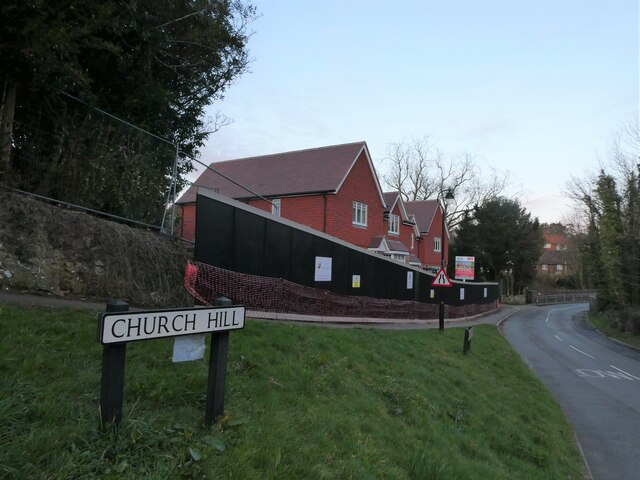
Church Hill House, Haslemere
Church Hill House is a grade II* listed house in Tanners Lane, Haslemere, Surrey. Parts of the walls are grade II listed as well as the adjoining Church...

Serpent Trail
The Serpent Trail is a 64-mile (103 km) long distance footpath. It runs from Haslemere to Petersfield, which are 11 miles apart in a straight line, by...

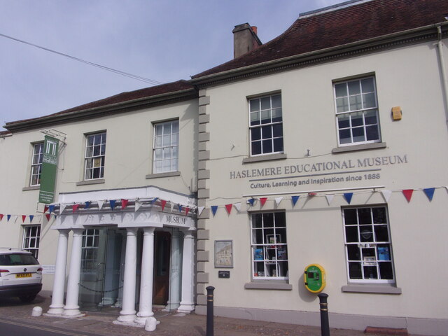
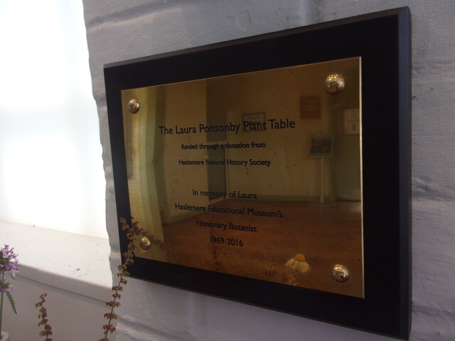
Haslemere Educational Museum
Haslemere Educational Museum was founded in 1888 by the eminent surgeon Sir Jonathan Hutchinson to display his growing collection of natural history specimens...
Haslemere
The town of Haslemere () and the villages of Shottermill and Grayswood are in south west Surrey, England, around 38 mi (62 km) south west of London. Together...
The Curry Club
The Curry Club was founded by Pat Chapman in 1982, to further the understanding and appreciation of the cuisines of the Indian subcontinent. In 2007 it...

Gibbet Hill, Hindhead
Gibbet Hill, at Hindhead, Surrey, is the apex of the scarp surrounding the Devil's Punch Bowl, not far from the A3 London to Portsmouth road in England...
Nearby Amenities
Located within 500m of 51.103666,-0.69652269Have you been to Grayswood Copse?
Leave your review of Grayswood Copse below (or comments, questions and feedback).