East Rudham
Settlement in Norfolk King's Lynn and West Norfolk
England
East Rudham

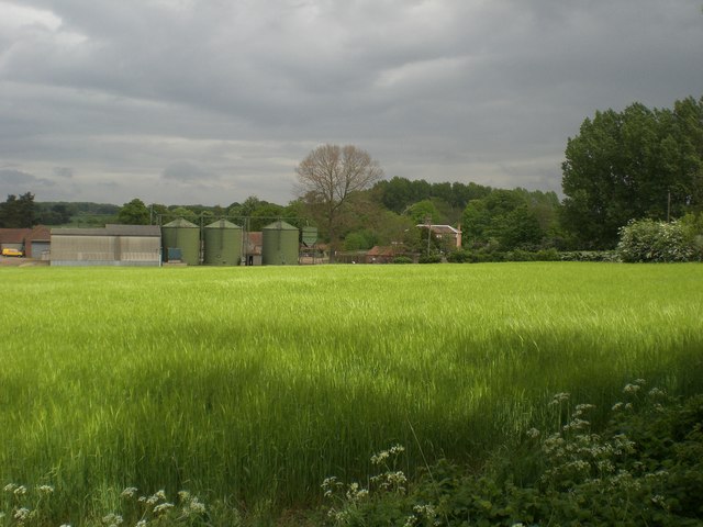
East Rudham is a small village located in the county of Norfolk, England. Situated approximately 20 miles northwest of Norwich, it falls within the district of King's Lynn and West Norfolk. The village is nestled in the beautiful Norfolk countryside, surrounded by rolling hills, farmland, and picturesque landscapes.
With a population of around 700 residents, East Rudham has a close-knit and friendly community. The village boasts a charming mix of traditional and modern architecture, with historic buildings such as St. Mary's Church, dating back to the 14th century, coexisting alongside newer residential developments.
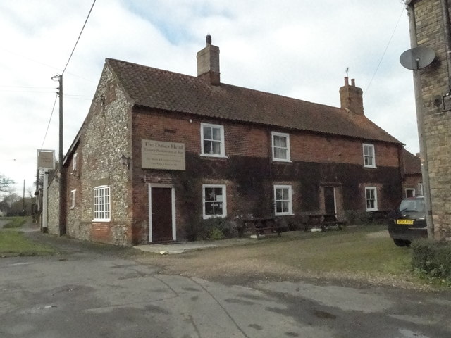
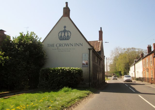
The village is well-served in terms of amenities, offering a range of facilities to cater to the needs of its residents. These include a primary school, a village hall, a post office, and a pub. Additionally, there are several shops and businesses that provide essential services, ensuring that locals have convenient access to everyday necessities.
East Rudham's location makes it an ideal base for exploring the surrounding areas. The village is within close proximity to several nature reserves, such as Bircham Windmill and Pensthorpe Natural Park, which offer opportunities for outdoor activities and wildlife spotting. The nearby market town of Fakenham provides further amenities and entertainment options, including a cinema and a racecourse.
Overall, East Rudham is a peaceful and picturesque village that offers a tranquil lifestyle within easy reach of both rural and urban attractions. Its rich history, natural beauty, and strong sense of community make it a desirable place to live or visit in Norfolk.
If you have any feedback on the listing, please let us know in the comments section below.
East Rudham Images
Images are sourced within 2km of 52.820175/0.71156 or Grid Reference TF8228. Thanks to Geograph Open Source API. All images are credited.


East Rudham is located at Grid Ref: TF8228 (Lat: 52.820175, Lng: 0.71156)
Administrative County: Norfolk
District: King's Lynn and West Norfolk
Police Authority: Norfolk
What 3 Words
///grafted.rail.shocked. Near Fakenham, Norfolk
Nearby Locations
Related Wikis
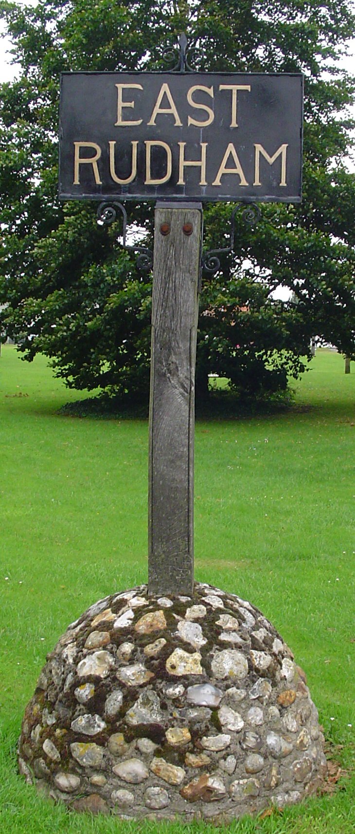
East Rudham
East Rudham is a village and civil parish in the English county of Norfolk. The village is located 14 miles (23 km) north-east of King's Lynn and 28 miles...

West Rudham
West Rudham is a civil parish in the English county of Norfolk. The village straddles the A148 King's Lynn to Cromer road. It covers an area of 11.81 km2...
Coxford, Norfolk
Coxford is a village in the English county of Norfolk. The village is on the south side of the A 148 King's Lynn to Cromer road. The River Tat, which...
Broomsthorpe
Broomsthorpe is a place and former civil parish, now in the parish of East Rudham, in the King's Lynn and West Norfolk district, in the English county...
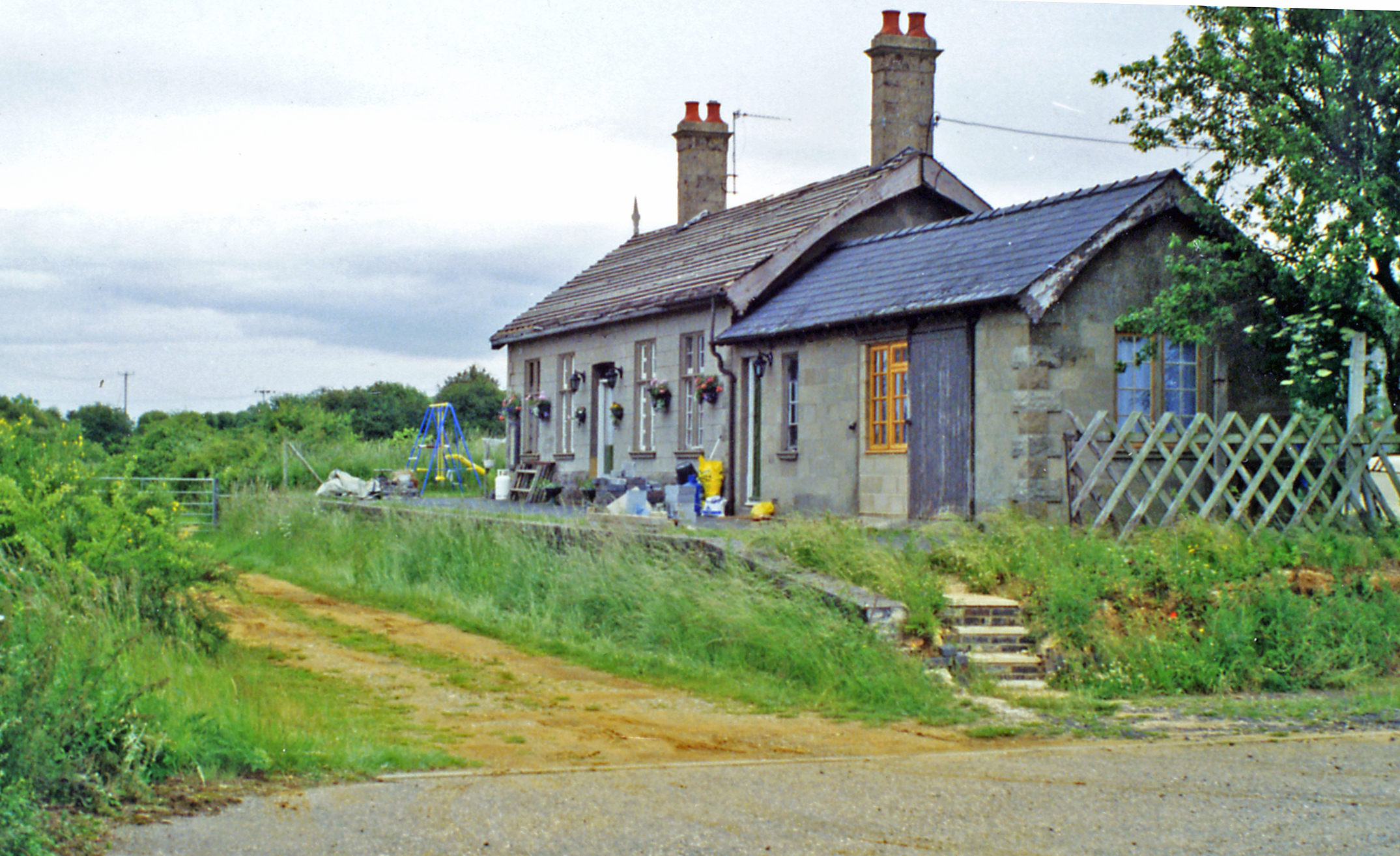
East Rudham railway station
East Rudham railway station is a former station in East Rudham, Norfolk. It opened in 1880 and closed in 1959. It was on the Midland and Great Northern...
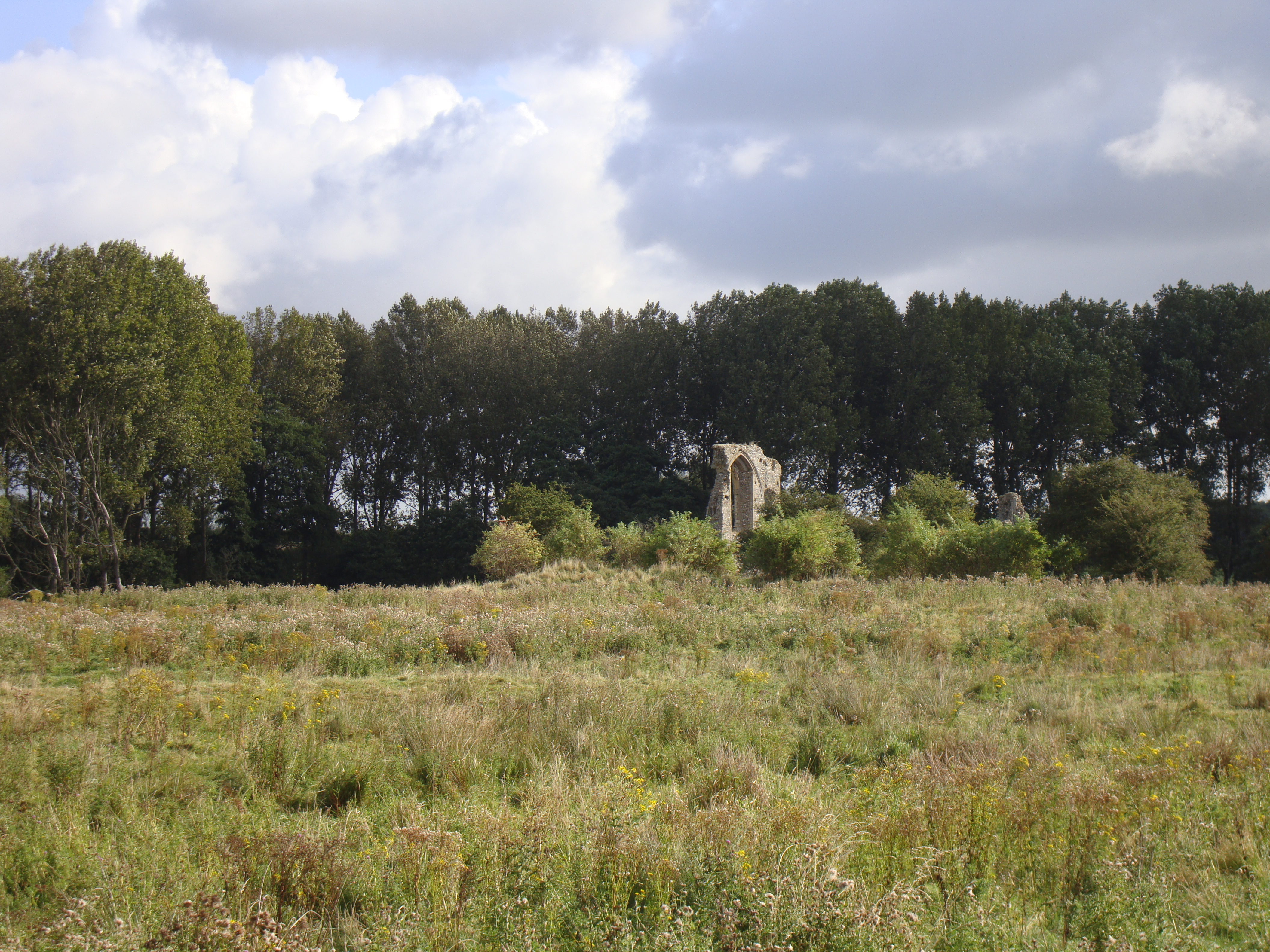
Coxford Priory
Coxford Priory or Broomsthorpe Priory was a monastic house in Norfolk, England. An Augustinian Canons Regular establishment, initially founded around 1140...

Tattersett
Tattersett is a village and civil parish in the English county of Norfolk. It covers an area of 11.38 square kilometres (4.39 square miles), and had a...

St Martin at Tours' Church, Houghton
St Martin at Tours' Church is an active Church of England parish church in the village of Houghton, Norfolk, England. It is a Grade I listed building...
Nearby Amenities
Located within 500m of 52.820175,0.71156Have you been to East Rudham?
Leave your review of East Rudham below (or comments, questions and feedback).