Halnacker Copse
Wood, Forest in Surrey Waverley
England
Halnacker Copse
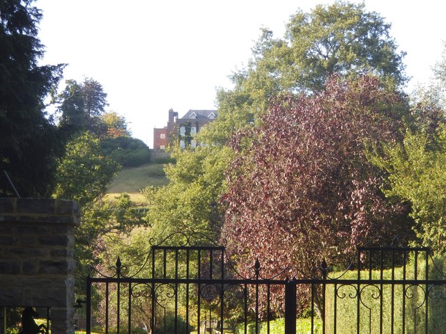
Halnacker Copse is a picturesque woodland located in Surrey, England. Situated in the southern region of the county, it covers an area of approximately 50 acres. The copse is part of the larger Surrey Hills Area of Outstanding Natural Beauty, which is known for its stunning landscapes and diverse flora and fauna.
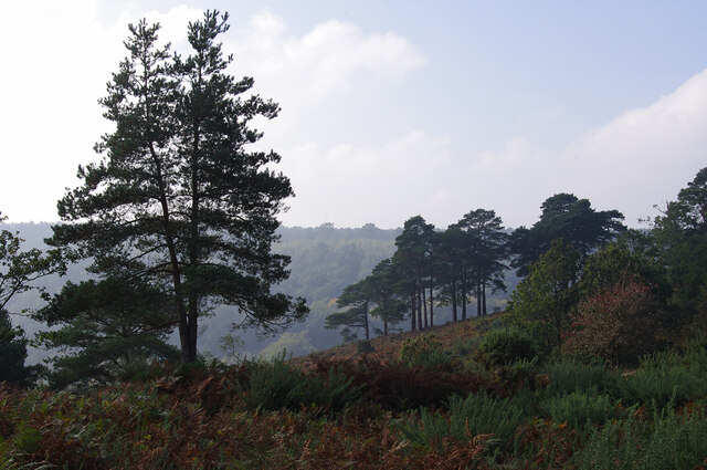
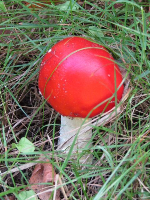
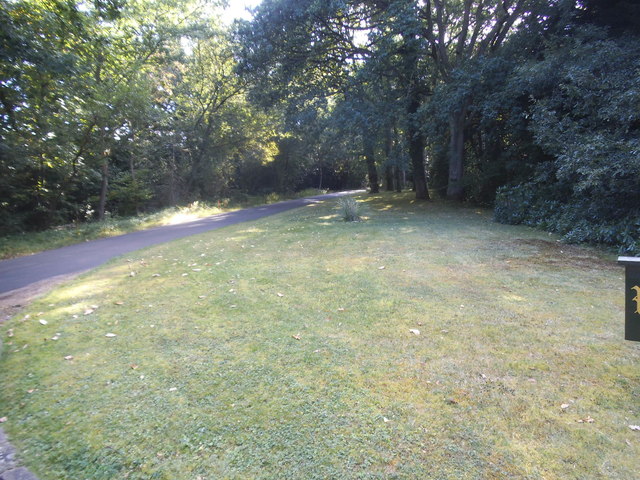
Halnacker Copse is characterized by its dense coverage of oak, beech, and birch trees, creating a lush and vibrant forest environment. The woodland floor is adorned with a variety of wildflowers, including bluebells and wood anemones, which provide a colorful display during the spring months. The copse is also home to a rich array of wildlife, including deer, badgers, and a wide variety of bird species.
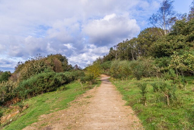
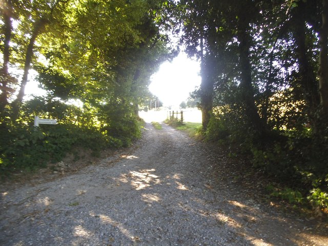
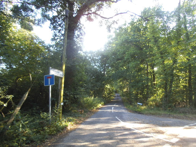
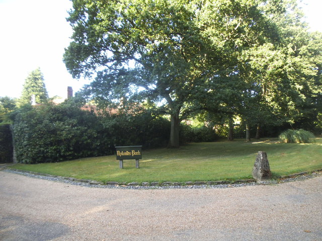
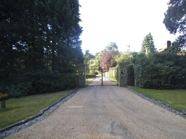
The copse is a popular destination for nature enthusiasts and hikers, who can explore the numerous paths and trails that wind through the woodland. These trails offer visitors the chance to discover the natural beauty of the area while enjoying a peaceful and tranquil atmosphere. The copse is particularly renowned for its breathtaking views, with several vantage points offering vistas of the surrounding countryside.
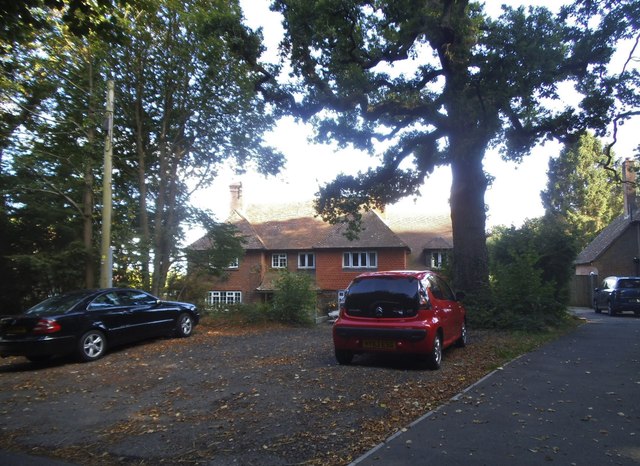
Halnacker Copse is easily accessible, with nearby parking facilities and public transportation options available. Local authorities have implemented measures to preserve and protect the copse, ensuring its continued beauty and ecological diversity for future generations to enjoy. Whether it's a leisurely stroll through the forest or a more challenging hike, Halnacker Copse offers a delightful and serene escape into nature.
If you have any feedback on the listing, please let us know in the comments section below.
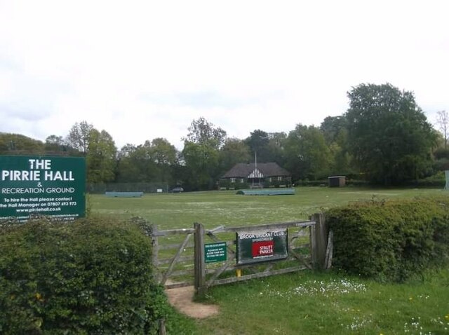
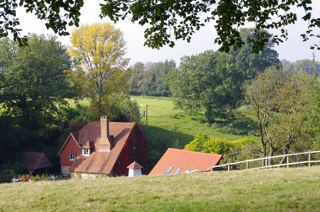
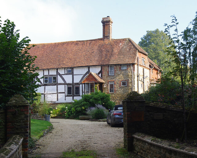
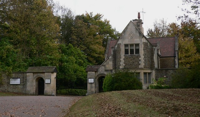
Halnacker Copse Images
Images are sourced within 2km of 51.12953/-0.69590911 or Grid Reference SU9137. Thanks to Geograph Open Source API. All images are credited.


Halnacker Copse is located at Grid Ref: SU9137 (Lat: 51.12953, Lng: -0.69590911)
Administrative County: Surrey
District: Waverley
Police Authority: Surrey
What 3 Words
///aquatics.spinners.jazz. Near Hindhead, Surrey
Nearby Locations
Related Wikis

Brook Brick Pit
Brook Brick Pit is a 0.9-hectare (2.2-acre) geological Site of Special Scientific Interest west of Wormley Surrey. It is a Geological Conservation Review...

Brook, Surrey
Brook is a hamlet in the civil parish of Witley in the Waverley district in south-west Surrey. It is in the far west of Wormley, beyond Sandhills with...

Gibbet Hill, Hindhead
Gibbet Hill, at Hindhead, Surrey, is the apex of the scarp surrounding the Devil's Punch Bowl, not far from the A3 London to Portsmouth road in England...
Witley Park
Witley Park, formerly known as Lea Park, is an estate dating from the 19th-century between Godalming and Haslemere, Surrey, England. Its landscaped grounds...

South West Surrey (UK Parliament constituency)
South West Surrey is a constituency represented in the House of Commons of the UK Parliament. Since 2005, the seat has been represented by Conservative...

Thursley
Thursley is a village and civil parish in southwest Surrey, west of the A3 between Milford and Hindhead. An associated hamlet is Bowlhead Green. To the...
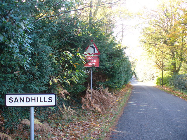
Sandhills, Surrey
Sandhills is a small hamlet located between the villages of Wormley and Brook in Surrey, UK. It is part of the Surrey Hills Area of Outstanding Beauty...

Devil's Punch Bowl
The Devil's Punch Bowl is a 282.2-hectare (697-acre) visitor attraction and biological Site of Special Scientific Interest situated just to the east of...
Nearby Amenities
Located within 500m of 51.12953,-0.69590911Have you been to Halnacker Copse?
Leave your review of Halnacker Copse below (or comments, questions and feedback).