Black Walk Plantation
Wood, Forest in Lincolnshire
England
Black Walk Plantation

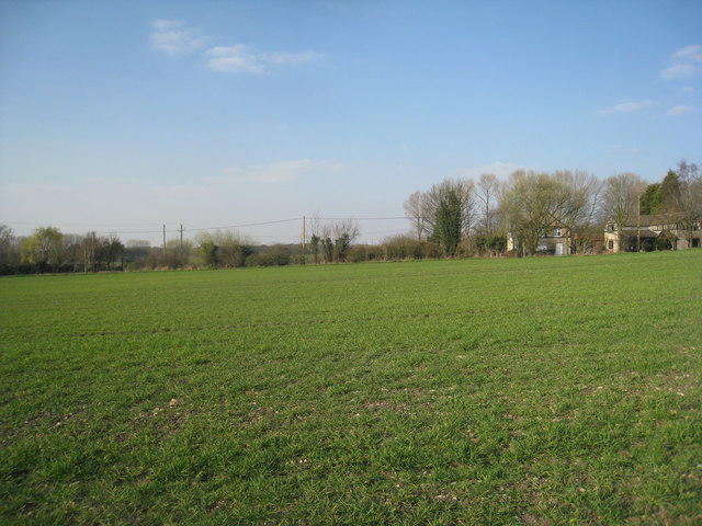
Black Walk Plantation is a picturesque woodland located in Lincolnshire, England. Situated in the heart of the county, this enchanting forest covers an area of approximately 200 acres. It is known for its dense collection of tall, majestic trees, predominantly consisting of oak, beech, and ash.
The plantation's name, "Black Walk," is derived from the dark shade cast by the thick foliage, creating a mysterious ambiance within the woodland. The forest floor is covered with a rich carpet of moss and ferns, adding to the natural beauty and tranquility of the area.
Black Walk Plantation is a haven for wildlife enthusiasts and nature lovers alike. It provides a habitat for various species of birds, such as woodpeckers, owls, and thrushes, making it a popular spot for birdwatching. The woodland is also home to a diverse range of mammals, including foxes, squirrels, and deer, which can often be spotted roaming through the trees.
The plantation offers a network of well-maintained footpaths and trails, allowing visitors to explore the woodland at their own pace. These paths lead to hidden clearings, where one can find secluded picnic spots, perfect for enjoying a peaceful lunch amidst the natural surroundings.
With its tranquil atmosphere and stunning scenery, Black Walk Plantation provides a welcome escape from the hustle and bustle of everyday life. It is a place where visitors can immerse themselves in the beauty of nature, enjoying the sights and sounds of this captivating woodland.
If you have any feedback on the listing, please let us know in the comments section below.
Black Walk Plantation Images
Images are sourced within 2km of 53.504084/-0.6247743 or Grid Reference SE9101. Thanks to Geograph Open Source API. All images are credited.


Black Walk Plantation is located at Grid Ref: SE9101 (Lat: 53.504084, Lng: -0.6247743)
Unitary Authority: North Lincolnshire
Police Authority: Humberside
What 3 Words
///forkful.images.victory. Near Manton, Lincolnshire
Nearby Locations
Related Wikis
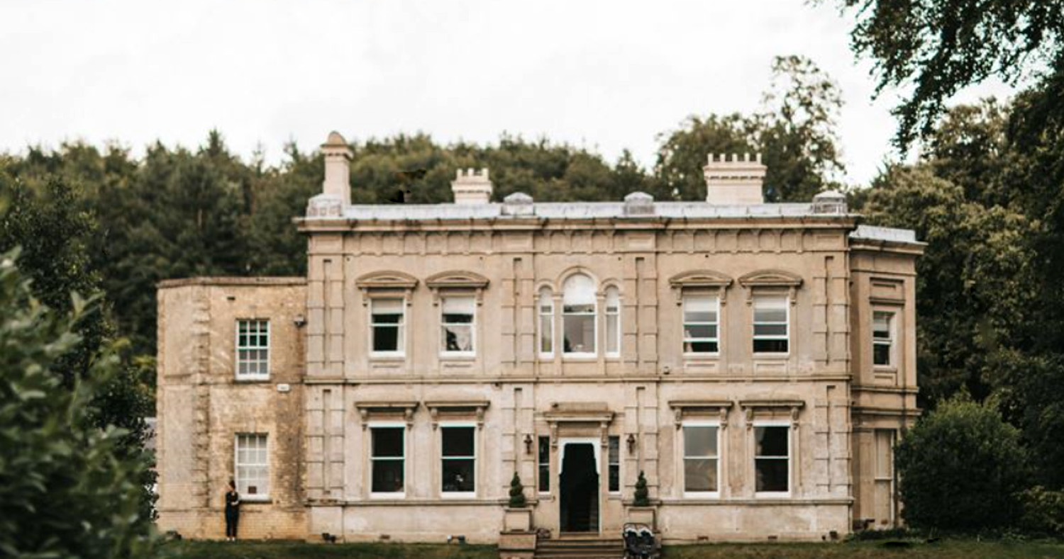
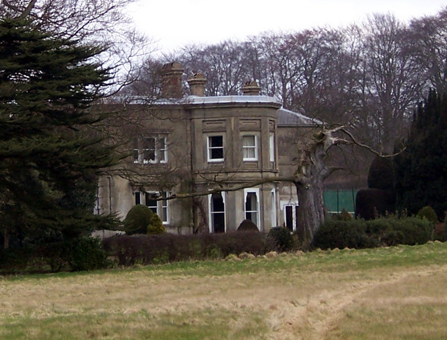
Cleatham Hall, Lincolnshire
Cleatham Hall is an English country house located near Manton in Lincolnshire, England. The building is of special interest and has a Grade II listing...
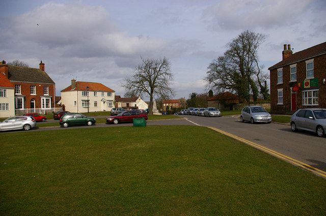
Manton, Lincolnshire
Manton is a village and civil parish in North Lincolnshire, England. The population of the civil parish at the 2011 census was 123. The village is situated...
Scotter
Scotter is a large village and civil parish in West Lindsey, Lincolnshire, England, situated between Scunthorpe and Gainsborough.The population of the...
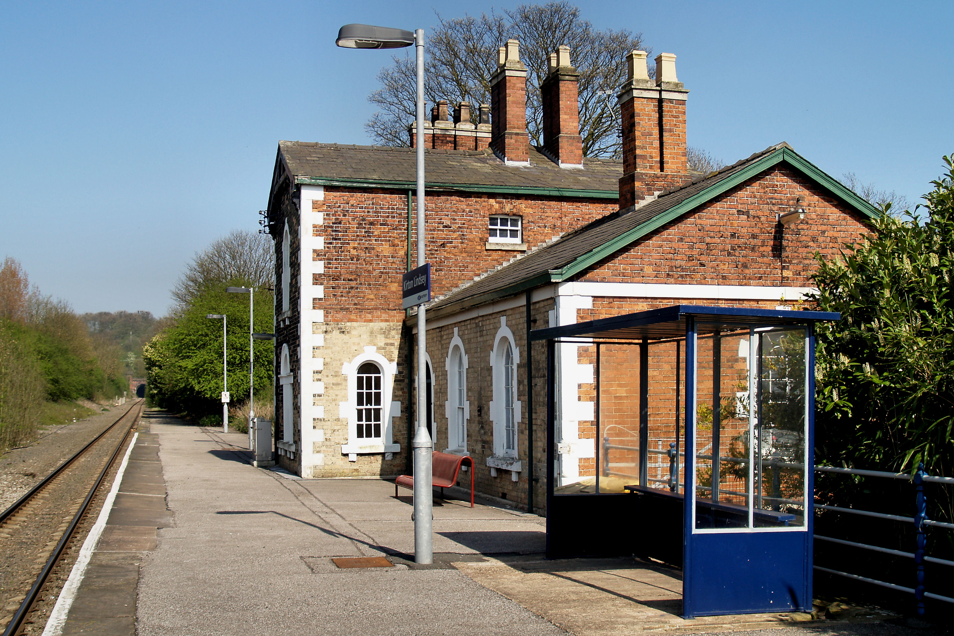
Kirton Lindsey railway station
Kirton Lindsey railway station serves the town of Kirton in Lindsey in North Lincolnshire, Lincolnshire, England. The station was opened in 1849 on the...
Nearby Amenities
Located within 500m of 53.504084,-0.6247743Have you been to Black Walk Plantation?
Leave your review of Black Walk Plantation below (or comments, questions and feedback).