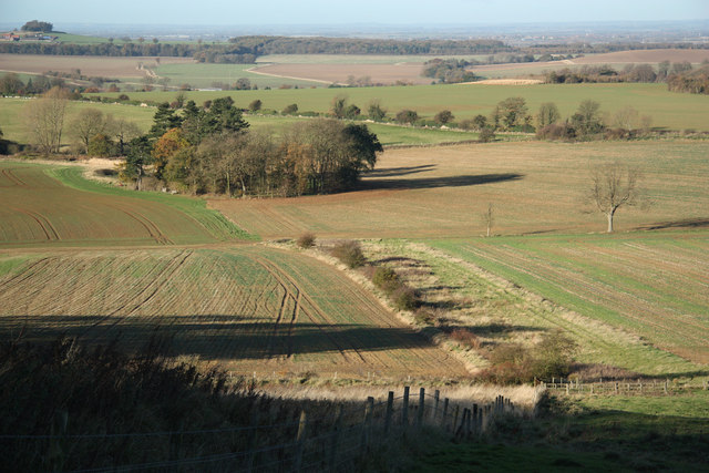
Peascliff Plantation
Wood, Forest in Lincolnshire South Kesteven
England
Peascliff Plantation
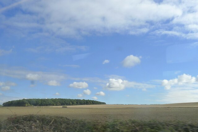
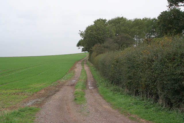
Peascliff Plantation is a picturesque woodland located in Lincolnshire, England. Spread across a sprawling area of land, the plantation is known for its rich and diverse ecosystem, attracting nature enthusiasts and explorers alike.
The woodland is predominantly composed of a variety of trees, such as oak, beech, and birch, which collectively create a dense and vibrant canopy. This provides a sanctuary for numerous bird species, including woodpeckers, owls, and thrushes, making it a haven for birdwatchers and wildlife photographers.
Peascliff Plantation is also home to a diverse range of flora and fauna, including a carpet of bluebells that bloom in the spring, adding a burst of color to the woodland floor. The undergrowth is teeming with ferns, mosses, and wildflowers, creating an enchanting atmosphere for visitors to immerse themselves in nature.
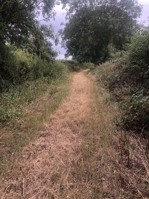
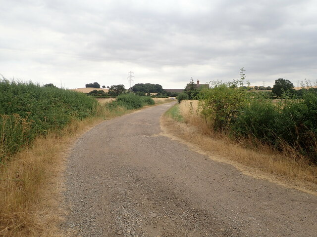
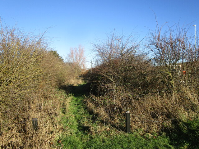
The plantation offers several walking trails, allowing visitors to explore its beauty at their own pace. These trails wind through the woodland, providing glimpses of its stunning vistas, tranquil ponds, and hidden glades. The plantation is also equipped with several benches and picnic areas, making it a perfect spot for families and friends to relax and enjoy a leisurely day out.
Peascliff Plantation is a protected area, managed by the local authorities, ensuring the preservation of its natural beauty. It serves as an important habitat for various wildlife species and contributes to the overall biodiversity of the region. With its serene ambiance and abundant wildlife, Peascliff Plantation is truly a nature lover's paradise.
If you have any feedback on the listing, please let us know in the comments section below.
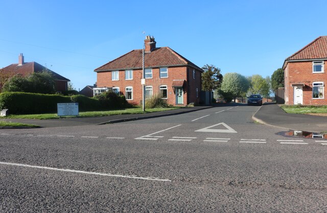
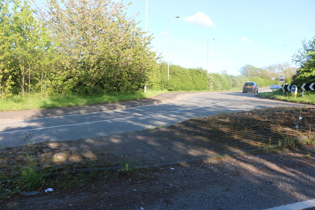
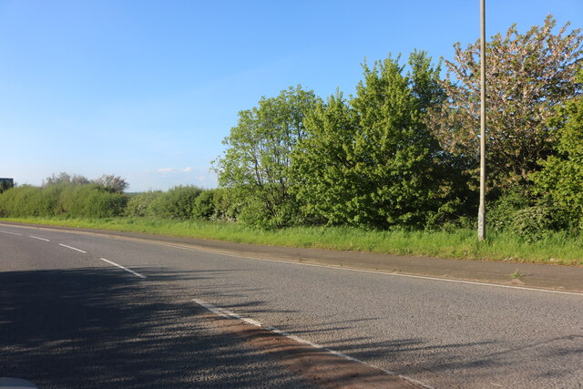
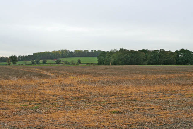
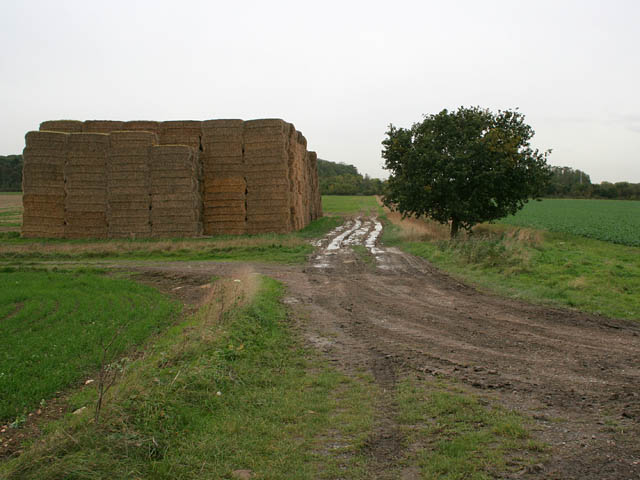
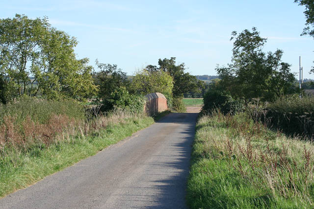
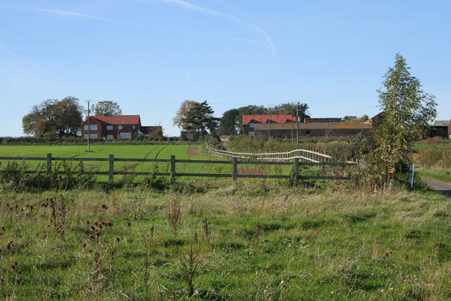
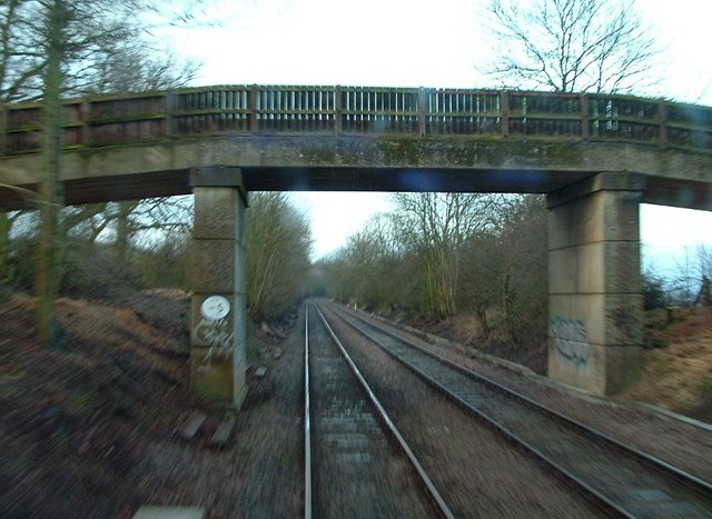
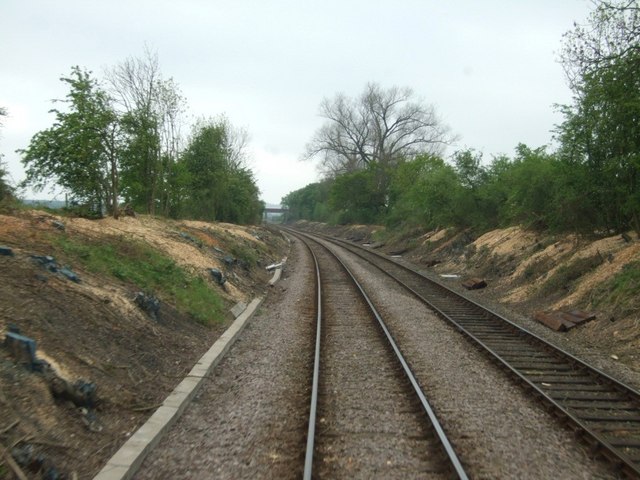
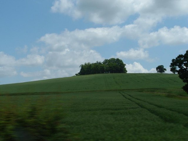
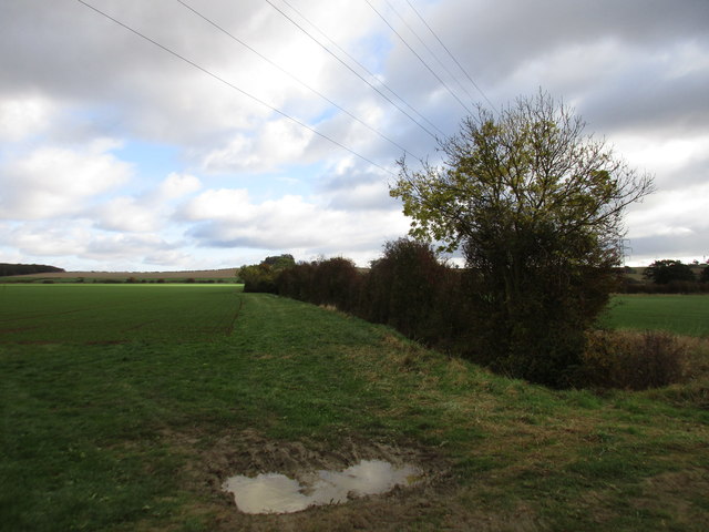
Peascliff Plantation Images
Images are sourced within 2km of 52.94385/-0.64712925 or Grid Reference SK9139. Thanks to Geograph Open Source API. All images are credited.


Peascliff Plantation is located at Grid Ref: SK9139 (Lat: 52.94385, Lng: -0.64712925)
Administrative County: Lincolnshire
District: South Kesteven
Police Authority: Lincolnshire
What 3 Words
///calendars.collapsed.munched. Near Great Gonerby, Lincolnshire
Nearby Locations
Related Wikis
Belton and Manthorpe
Belton and Manthorpe is a civil parish in the South Kesteven district of Lincolnshire, England, consisting of Belton and Manthorpe, just north of Grantham...

Oak Bank School
Oak Bank School is a co-educational special school with academy status located in Leighton Buzzard, Bedfordshire, England. The school accepts pupils from...
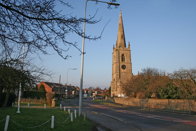
Great Gonerby
Great Gonerby is a village and civil parish in the South Kesteven district of Lincolnshire, England. The population of the civil parish at the 2011 census...
Murder of Julie Pacey
The murder of Julie Pacey (1955/1956 – 26 September 1994) was a mysterious, and still unsolved, murder of a mother in her own home in Grantham, England...
Manthorpe, Grantham
Manthorpe is a village in the South Kesteven district of Lincolnshire, England. It is on the northern edge of the town of Grantham and on the Grantham...
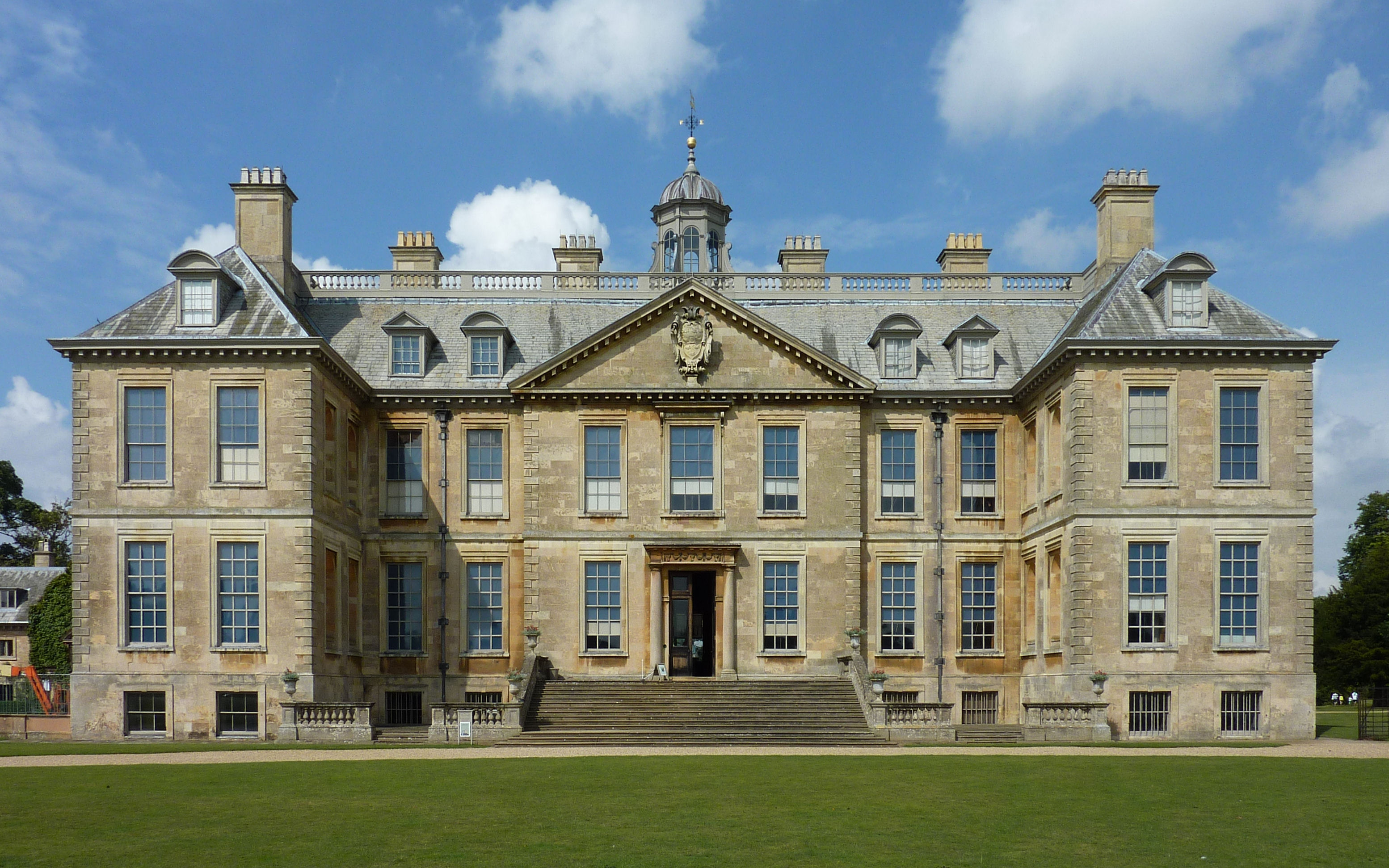
Belton House
Belton House is a Grade I listed country house in the parish of Belton near Grantham in Lincolnshire, England, built between 1685 and 1687 by Sir John...

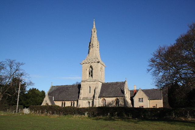
St Peter and St Paul's Church, Belton
The Church of St Peter and St Paul, Belton, South Kesteven, Lincolnshire is a functioning parish church and a Grade I listed building. Since the 17th century...

Belton, South Kesteven
Belton is a village in the civil parish of Belton and Manthorpe, in the South Kesteven district of Lincolnshire, England. It is situated on the A607 road...
Nearby Amenities
Located within 500m of 52.94385,-0.64712925Have you been to Peascliff Plantation?
Leave your review of Peascliff Plantation below (or comments, questions and feedback).