Square Plantation
Wood, Forest in Lincolnshire South Kesteven
England
Square Plantation
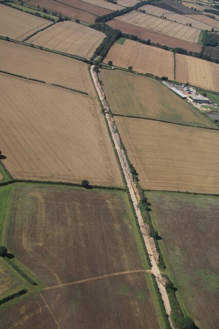
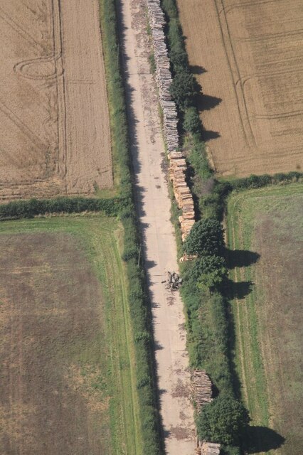
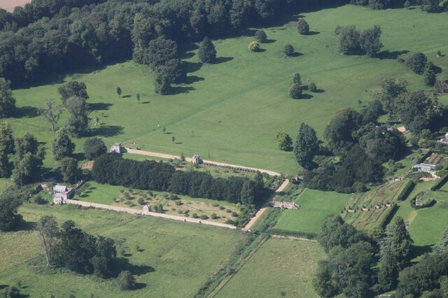
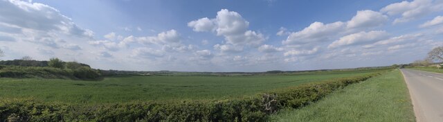
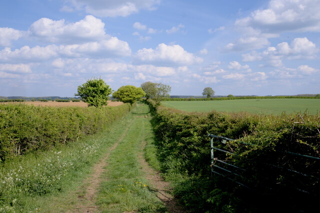
Square Plantation is a woodland area located in Lincolnshire, England. Situated in the heart of the county, it covers an area of approximately 100 acres and is known for its abundant and diverse flora and fauna. The plantation is primarily composed of deciduous trees, including oak, beech, and birch, which create a dense and picturesque forest.
The woodland is well-maintained and offers various walking trails and paths for visitors to explore. These paths wind through the plantation, providing opportunities to observe the natural beauty of the area and its wildlife. Birdwatchers will be delighted by the numerous species of birds that inhabit Square Plantation, including woodpeckers, owls, and various songbirds.
Square Plantation also serves as an important habitat for a range of animal species. Squirrels and rabbits can be spotted darting through the undergrowth, while deer are occasionally seen grazing in the clearings. The woodland floor is covered with a rich carpet of wildflowers, ferns, and moss, adding to the enchanting atmosphere of the plantation.
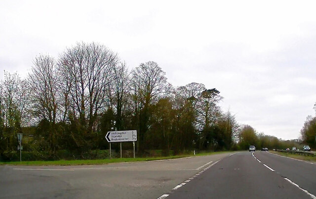
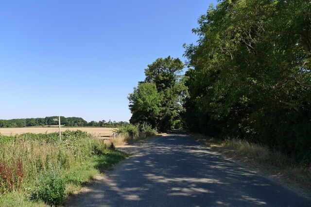
The woodland is open to the public year-round, and visitors can enjoy picnicking, photography, or simply immersing themselves in the tranquility of nature. Square Plantation is easily accessible via a network of roads and is located in close proximity to several nearby towns and villages.
Overall, Square Plantation in Lincolnshire is a cherished natural treasure, offering a serene escape for nature lovers and providing a valuable home to a diverse range of plant and animal species.
If you have any feedback on the listing, please let us know in the comments section below.
Square Plantation Images
Images are sourced within 2km of 52.827976/-0.65085014 or Grid Reference SK9026. Thanks to Geograph Open Source API. All images are credited.


Square Plantation is located at Grid Ref: SK9026 (Lat: 52.827976, Lng: -0.65085014)
Administrative County: Lincolnshire
District: South Kesteven
Police Authority: Lincolnshire
What 3 Words
///interview.liability.snuggled. Near Colsterworth, Lincolnshire
Nearby Locations
Related Wikis

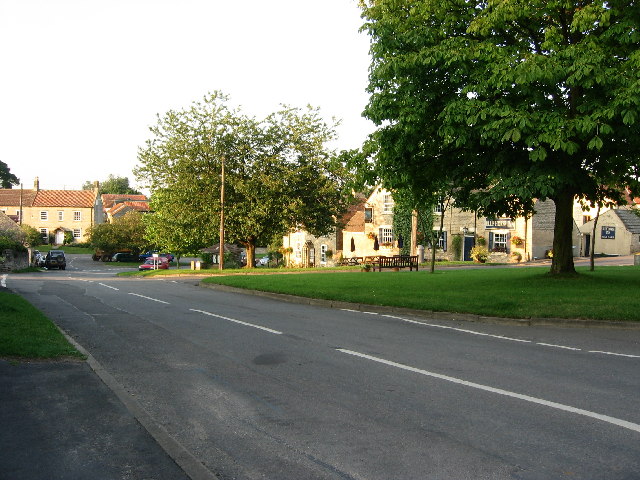
Stoke Rochford
Stoke Rochford is a small English village and civil parish 5.5 miles (9 km) south of Grantham in the South Kesteven district of Lincolnshire. The population...

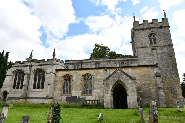
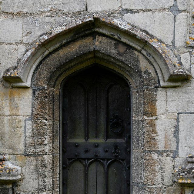
St Andrew and St Mary's Church, Stoke Rochford
St Andrew and St Mary's Church is a Grade I listed Church of England parish church dedicated to Saint Andrew and Saint Mary, in the parish of Easton and...
Skillington
Skillington is a village and civil parish in the South Kesteven district of Lincolnshire, England. The population of the civil parish at the 2021 census...
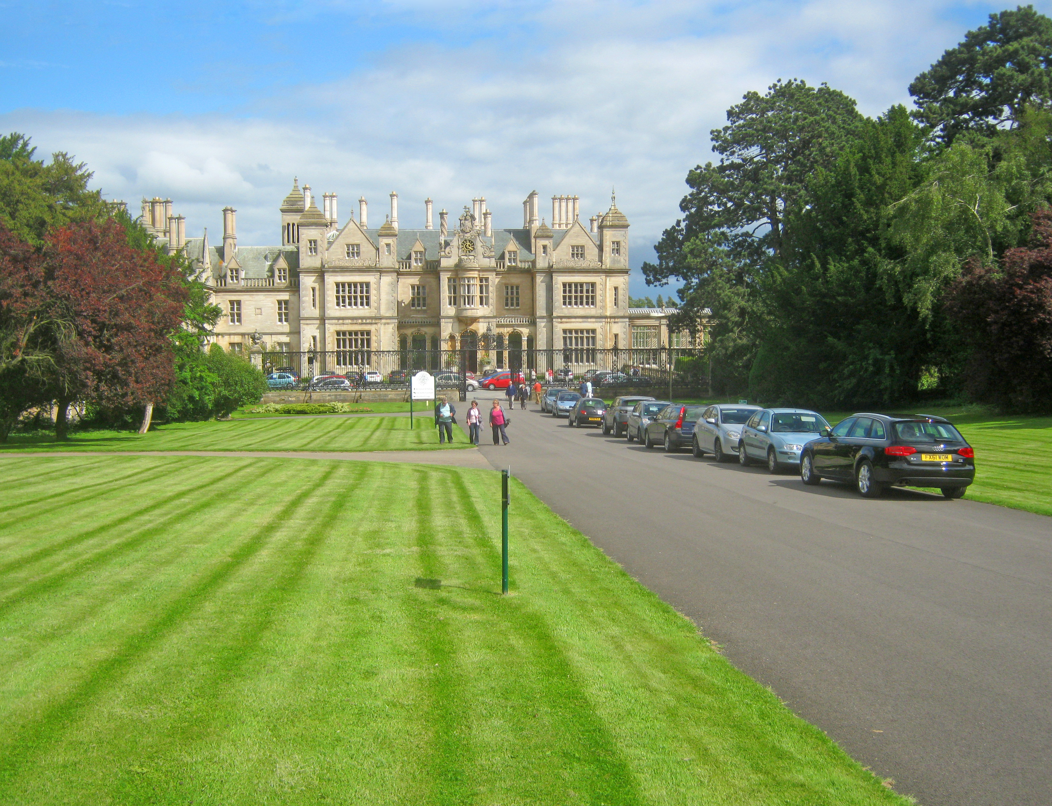
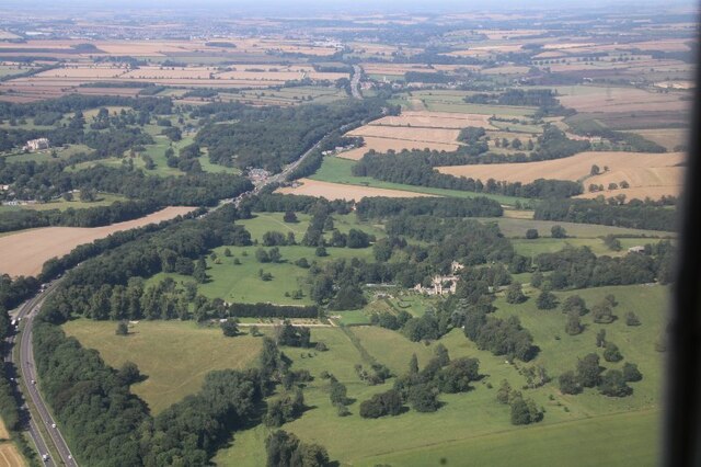
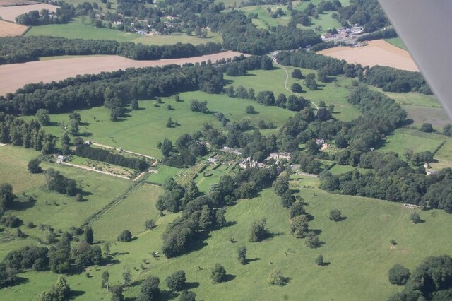
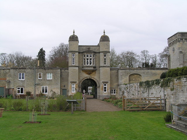
Stoke Rochford Hall
Stoke Rochford Hall is a large house built in scenic grounds, with a nearby golf course, next to the A1 in south Lincolnshire, England. The parkland and...

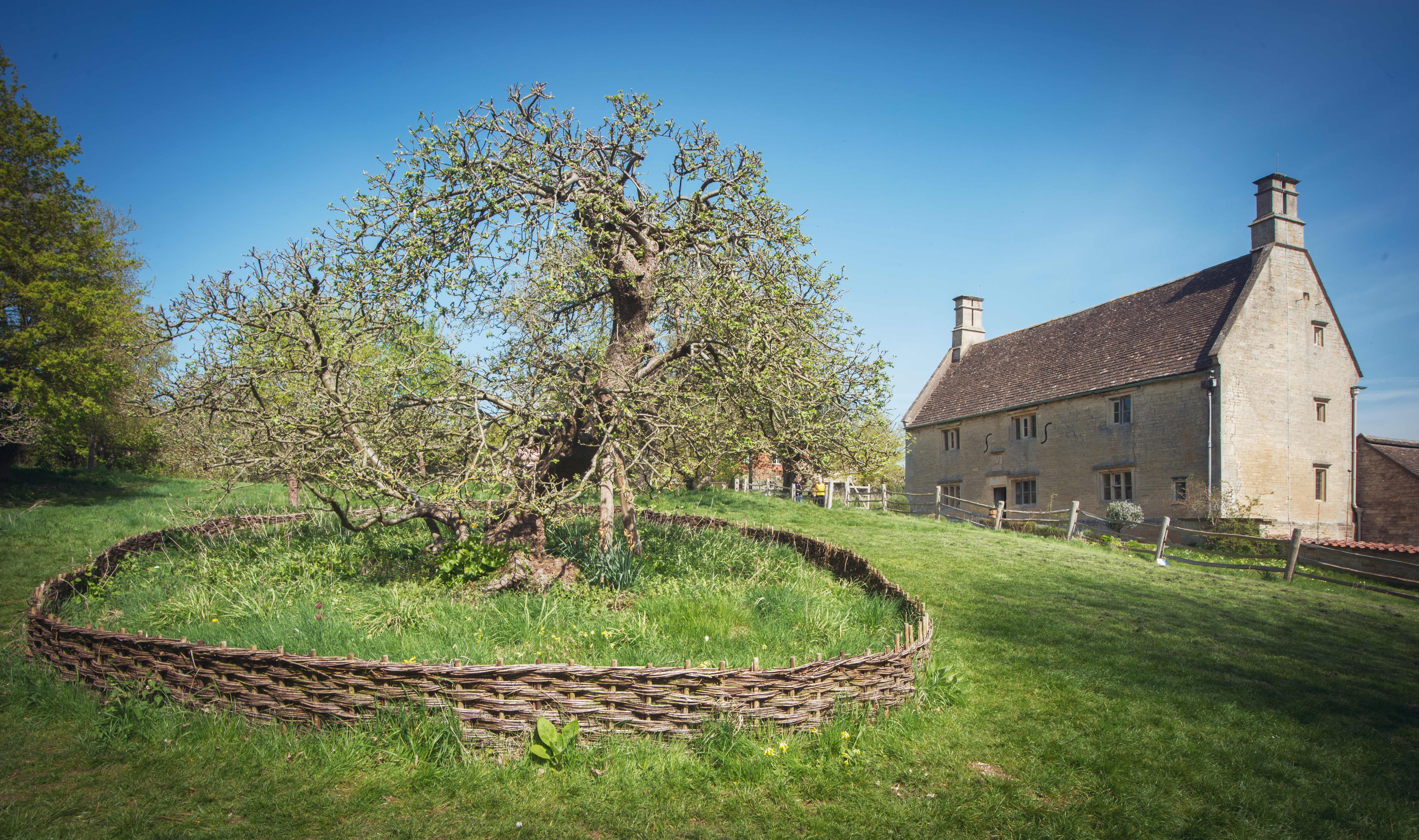
Isaac Newton's apple tree
Isaac Newton's apple tree at Woolsthorpe Manor represents the inspiration behind Sir Isaac Newton's theory of gravity. While the precise details of the...
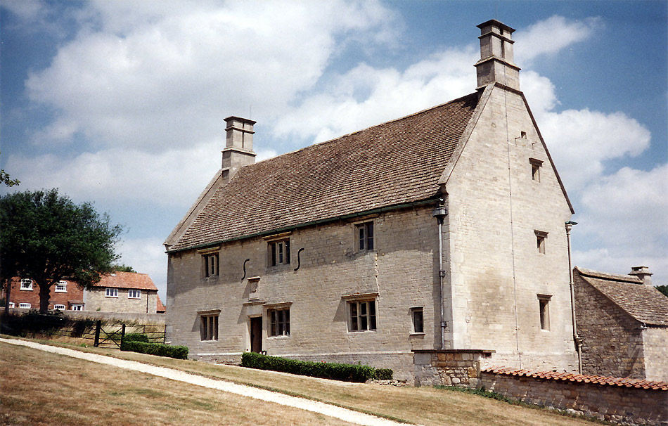
Woolsthorpe Manor
Woolsthorpe Manor in Woolsthorpe-by-Colsterworth, near Grantham, Lincolnshire, England, is the birthplace and was the family home of Sir Isaac Newton....
Woolsthorpe-by-Colsterworth
Woolsthorpe-by-Colsterworth (to distinguish it from Woolsthorpe-by-Belvoir in the same county) is a hamlet in the South Kesteven district of Lincolnshire...
Easton, Lincolnshire
Easton is a village in the South Kesteven district of Lincolnshire, England, almost 2 miles (3.2 km) north of Colsterworth, and 1 mile (1.6 km) east of...
Nearby Amenities
Located within 500m of 52.827976,-0.65085014Have you been to Square Plantation?
Leave your review of Square Plantation below (or comments, questions and feedback).