Back Wood
Wood, Forest in Buckinghamshire
England
Back Wood

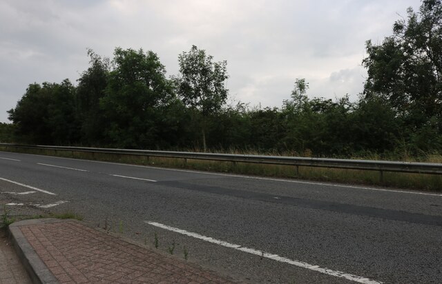
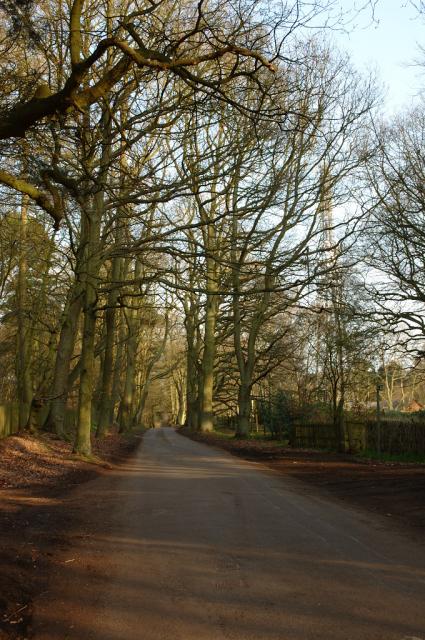
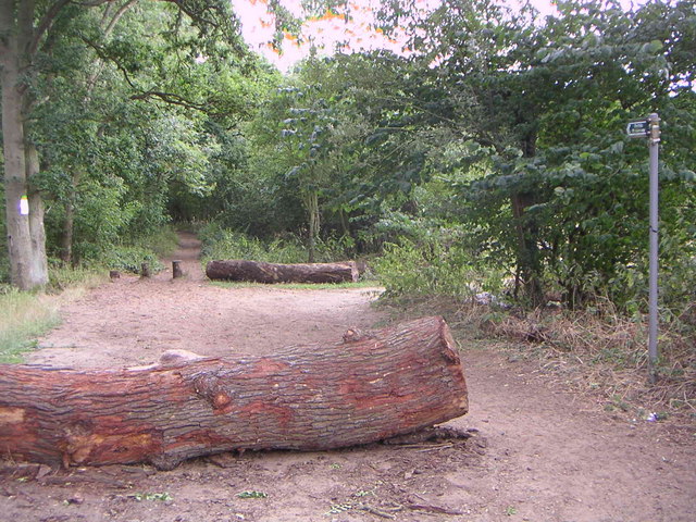
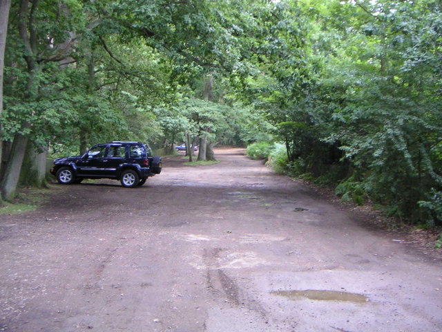
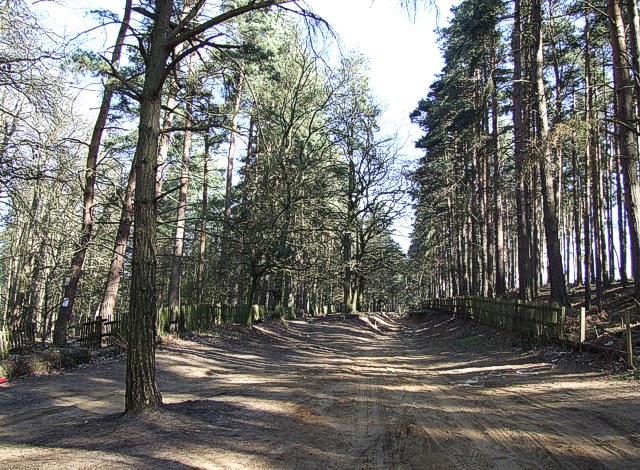
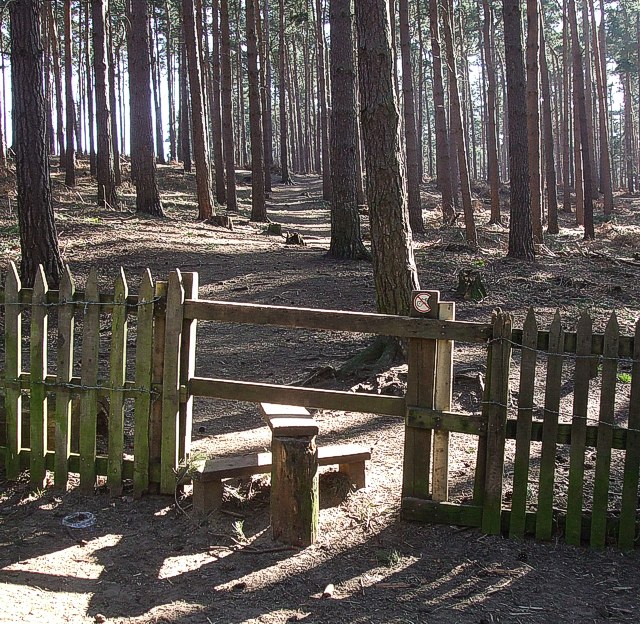
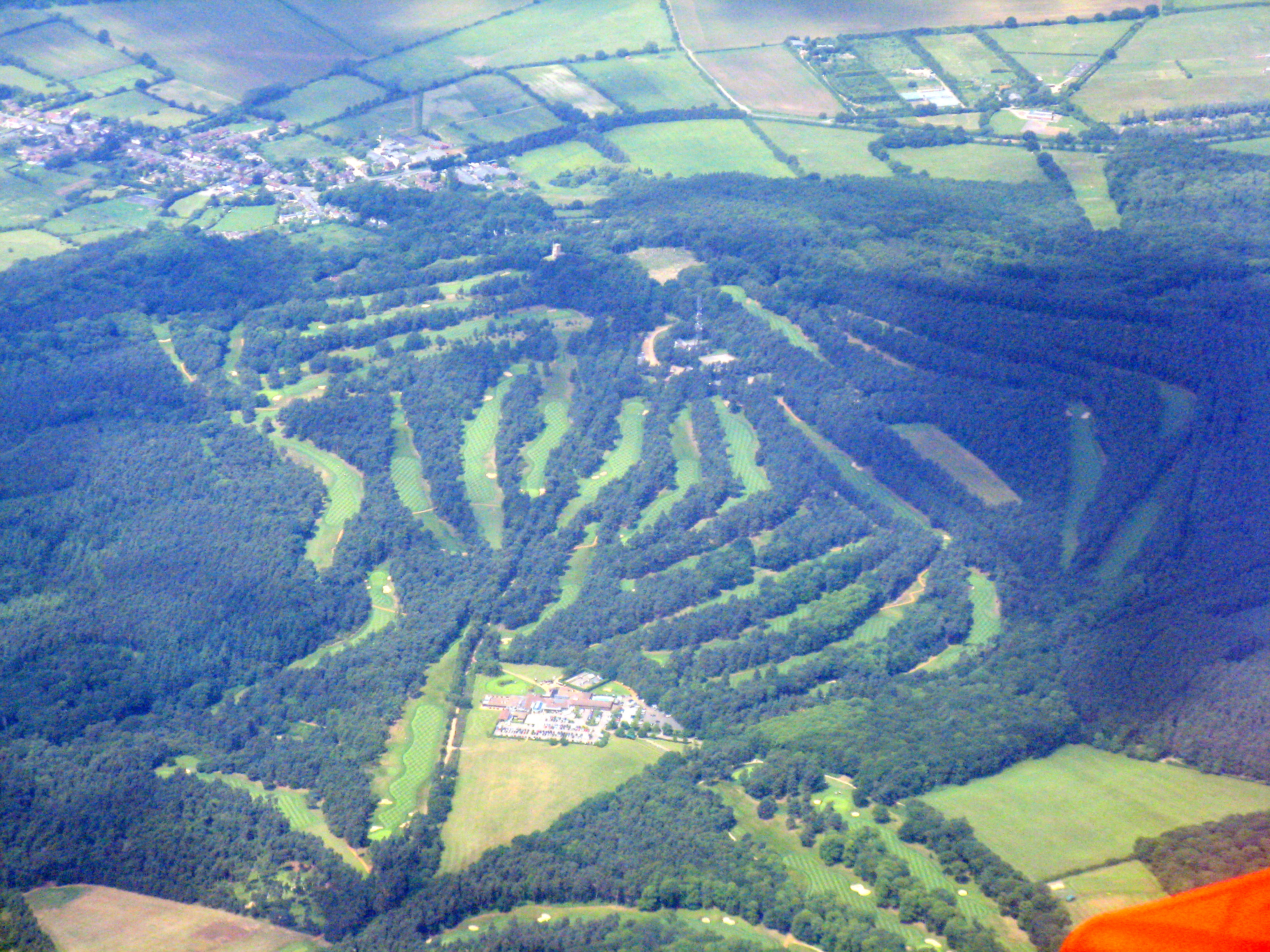
Back Wood is a picturesque forest located in the county of Buckinghamshire, England. Situated in the heart of the Chiltern Hills, this woodland area spans over a vast expanse of approximately 500 acres. Back Wood is renowned for its natural beauty, tranquil atmosphere, and diverse wildlife.
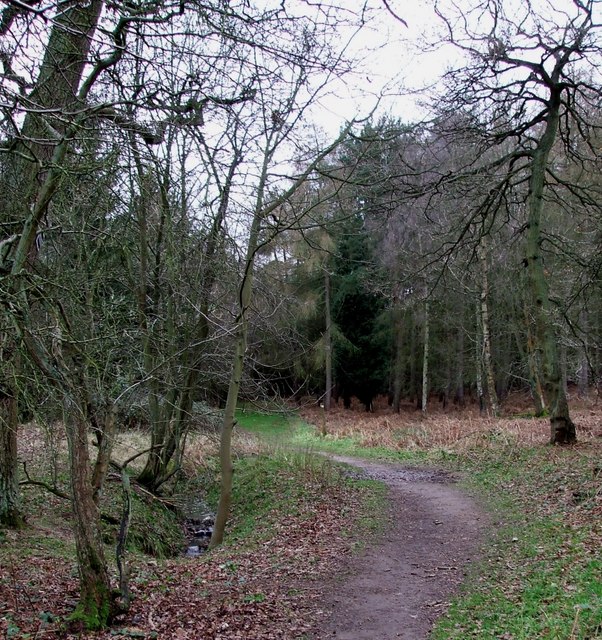
The forest is predominantly made up of a mix of deciduous and evergreen trees, including oak, beech, birch, and pine. These trees provide a stunning backdrop throughout the year, with vibrant displays of autumnal colors and lush greenery in the summer months. The dense canopy of the woods creates a shaded and cool environment, making it a popular spot for walkers, hikers, and nature enthusiasts.
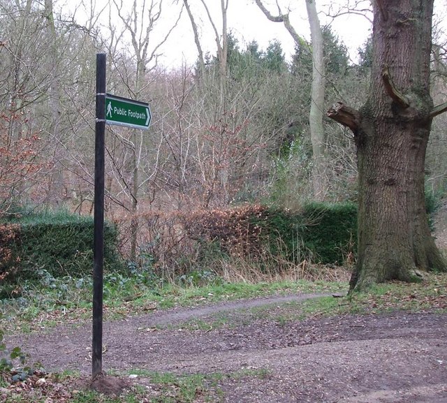
Back Wood is home to a wide range of wildlife, including deer, foxes, badgers, and numerous species of birds. It is a designated Area of Outstanding Natural Beauty and is protected to preserve its ecological importance. The forest is crisscrossed with well-maintained footpaths and trails, allowing visitors to explore the area and discover its hidden treasures.
The wood also features a small lake, known as Willow Lake, which adds to its scenic charm. The lake is home to various species of fish, and fishing is permitted with the appropriate permits and licenses.
Back Wood offers visitors a peaceful and serene escape from the hustle and bustle of everyday life. Its tranquil ambiance, stunning scenery, and abundant wildlife make it a haven for nature lovers and a perfect destination for those seeking a quiet retreat in the heart of Buckinghamshire.
If you have any feedback on the listing, please let us know in the comments section below.
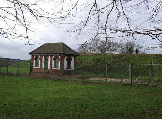
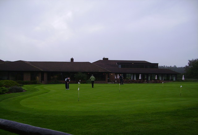
Back Wood Images
Images are sourced within 2km of 51.992193/-0.67718977 or Grid Reference SP9033. Thanks to Geograph Open Source API. All images are credited.


Back Wood is located at Grid Ref: SP9033 (Lat: 51.992193, Lng: -0.67718977)
Unitary Authority: Milton Keynes
Police Authority: Thames Valley
What 3 Words
///bars.warm.chop. Near Bow Brickhill, Buckinghamshire
Nearby Locations
Related Wikis

2016 Women's British Open
The 2016 Ricoh Women's British Open was played 28–31 July in England at the Woburn Golf and Country Club near Milton Keynes, Buckinghamshire, northwest...
Woburn Golf and Country Club
Woburn Golf Club is a golf club in England located in Little Brickhill, near Milton Keynes within the county of Bedfordshire, about fifty miles (80 km...
2019 Women's British Open
The 2019 AIG Women's British Open was played from 1–4 August in England at Woburn Golf Club in Milton Keynes, Buckinghamshire, fifty miles (80 km) northwest...
St Mary the Virgin, Great Brickhill
St Mary the Virgin's Church, Great Brickhill is a Grade II* listed parish church in the Church of England in Great Brickhill, Buckinghamshire. == History... ==

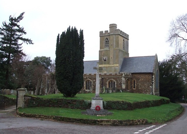
All Saints Church, Bow Brickhill
All Saints’ Church, Bow Brickhill is a Grade II* listed parish church in the Church of England in Bow Brickhill, Buckinghamshire, to the south-east of...

Little Brickhill
Little Brickhill is a village and civil parish in the unitary authority area of the City of Milton Keynes, Buckinghamshire, England. Located immediately...
Bow Brickhill
Bow Brickhill is a village and civil parish in the unitary authority area of the City of Milton Keynes, Buckinghamshire, England. It is bounded to the...
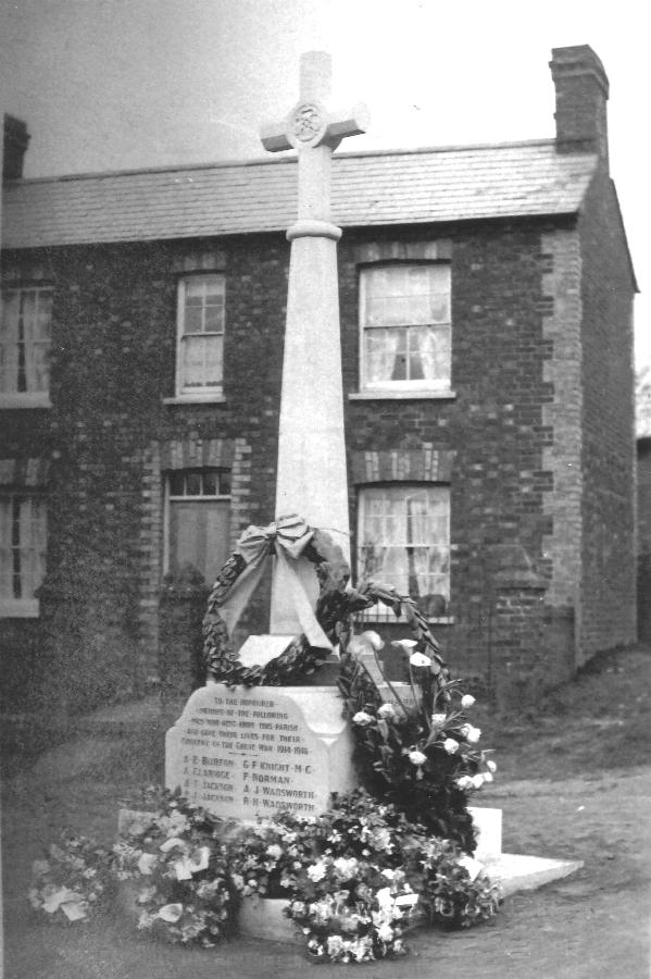
Bow Brickhill War Memorial
The Bow Brickhill War Memorial is located on the Village Green, at Church Road, Bow Brickhill, Buckinghamshire, England. It is a grade II listed building...
Nearby Amenities
Located within 500m of 51.992193,-0.67718977Have you been to Back Wood?
Leave your review of Back Wood below (or comments, questions and feedback).