Berrybut Spinneys
Wood, Forest in Rutland
England
Berrybut Spinneys
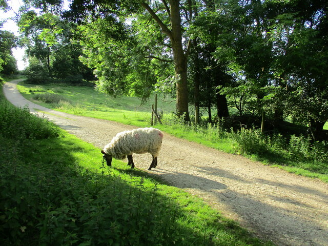
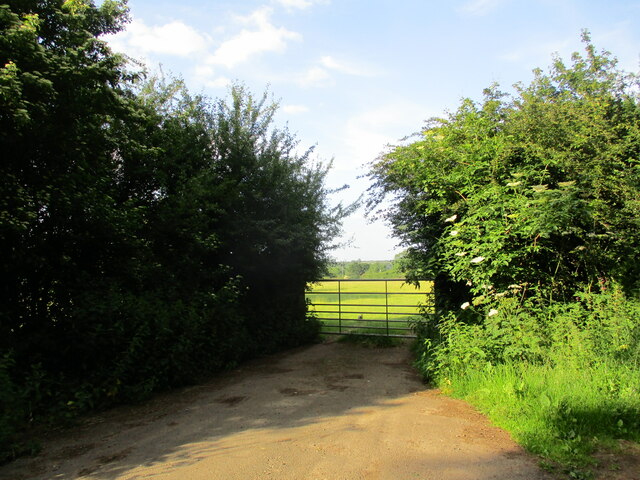
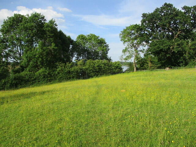
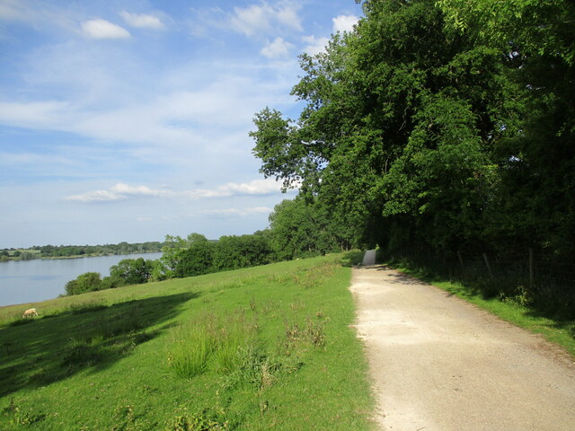
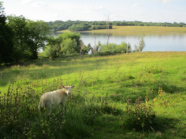
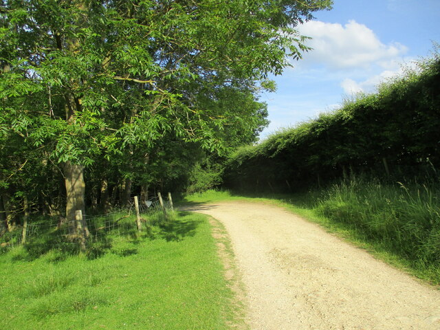
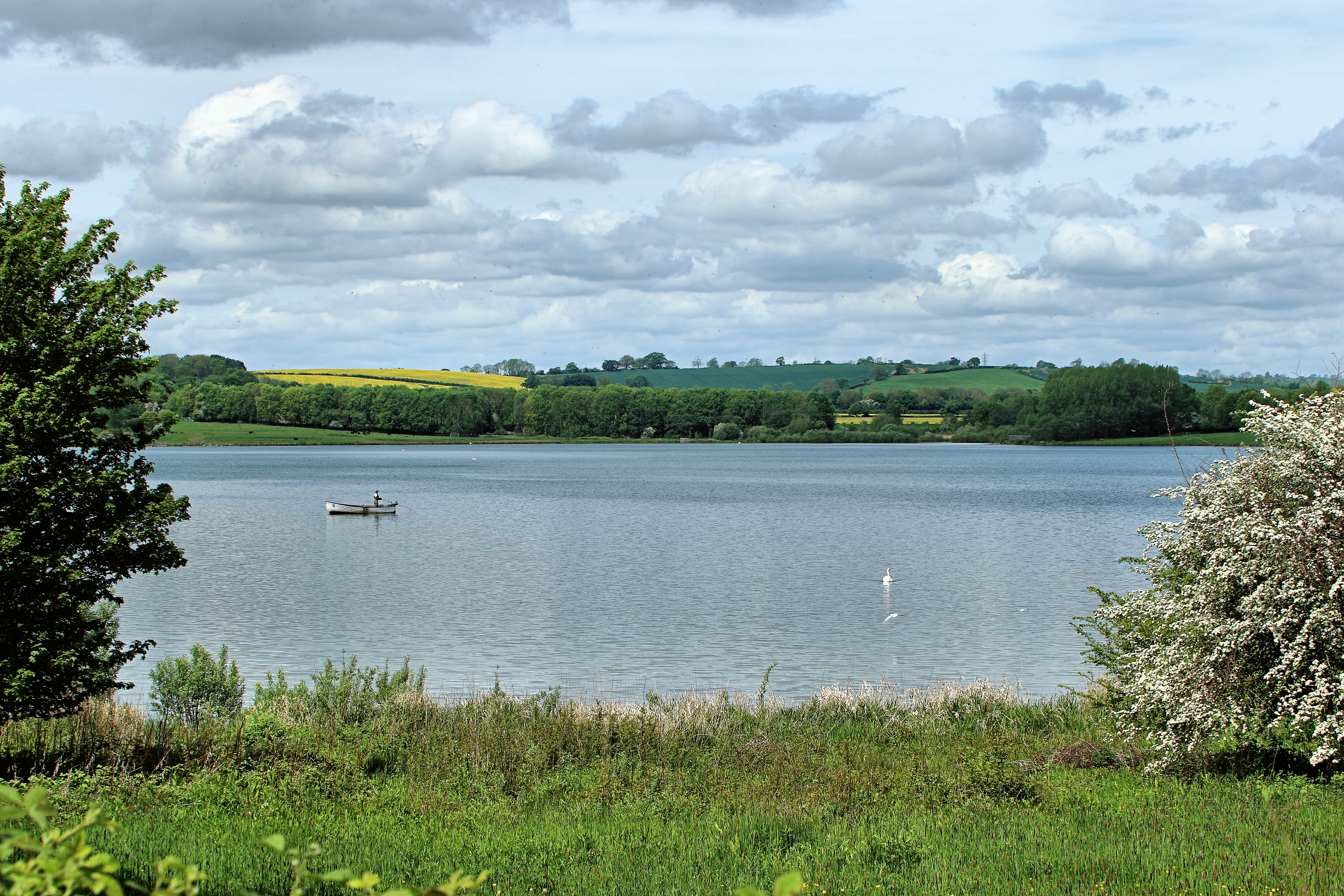
Berrybut Spinneys is a woodland located in Rutland, a county in the East Midlands region of England. Covering an area of approximately 20 acres, this forested area is a haven of natural beauty and biodiversity. The Spinneys is situated near the village of Berrybut, nestled amidst rolling hills and picturesque countryside.
The woodland is predominantly composed of native tree species, including oak, ash, birch, and beech trees. These trees form a dense canopy that provides shade and shelter to a diverse array of wildlife, making it a vital habitat for many species. The forest floor is covered in a rich carpet of ferns, mosses, and wildflowers, adding to its enchanting appeal.
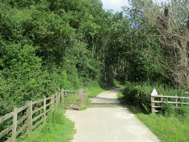
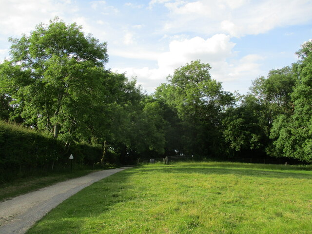
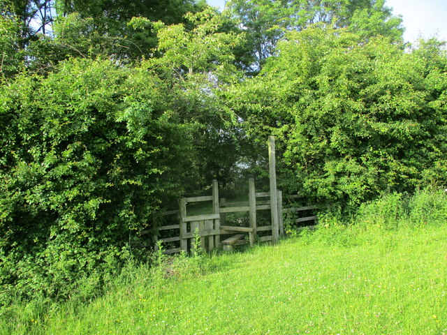
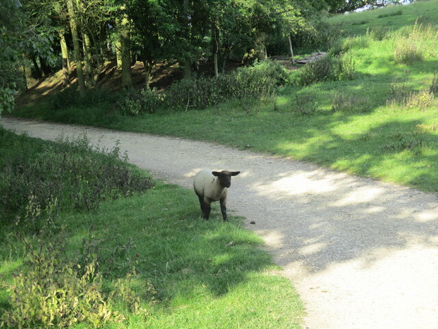
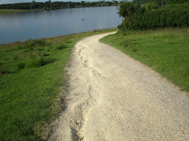
Visitors to Berrybut Spinneys can explore the woodland via a network of well-maintained footpaths and trails. These trails wind through the trees, offering peaceful walks and opportunities for nature observation. The forest also features several clearings and glades, providing spots for picnics or simply enjoying the tranquility of the surroundings.
The Spinneys is a popular destination for nature lovers, hikers, and birdwatchers. It is home to a variety of bird species, including woodpeckers, owls, and warblers. In spring and summer, the forest comes alive with the sound of birdsong, making it a delightful spot for bird enthusiasts.
Overall, Berrybut Spinneys is a charming woodland that offers visitors a chance to immerse themselves in nature. With its diverse flora and fauna, well-maintained trails, and peaceful atmosphere, it is a true gem in the heart of Rutland.
If you have any feedback on the listing, please let us know in the comments section below.
Berrybut Spinneys Images
Images are sourced within 2km of 52.642836/-0.6584752 or Grid Reference SK9005. Thanks to Geograph Open Source API. All images are credited.


Berrybut Spinneys is located at Grid Ref: SK9005 (Lat: 52.642836, Lng: -0.6584752)
Unitary Authority: Rutland
Police Authority: Leicestershire
What 3 Words
///steeped.strutting.pounce. Near Edith Weston, Rutland
Nearby Locations
Related Wikis
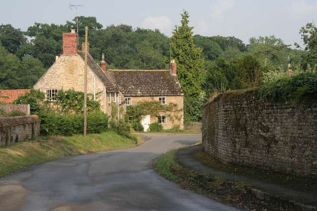
Lyndon, Rutland
Lyndon is a small village in the county of Rutland in the East Midlands of England. The population of the civil parish was 80 at the 2001 census (including...

St Martin's Church, Lyndon
St Martin's Church is a church in Lyndon, Rutland. It is a Grade II* listed building. == History == Most of the church is 13th and 14th century. The tower...

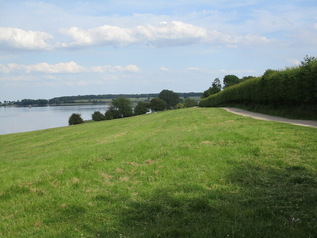
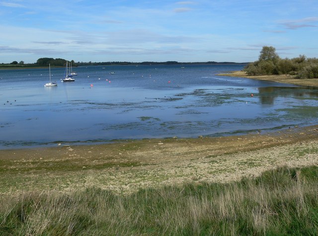
Hambleton Peninsula
The Hambleton Peninsula lies within the reservoir Rutland Water, in Rutland, England. When the Gwash Valley was dammed in 1975, the area surrounding what...
Edith Weston Priory
Edith Weston Priory was a small alien house of Benedictine monks in Edith Weston, Rutland. The French parent house of Abbey of Saint-Georges, Boscherville...

Vale of Catmose
The Vale of Catmose is an area of relatively low-lying land, much of which is flooded by Rutland Water, in western Rutland, England.The Catmose College...

Hambleton Hall, Rutland
Hambleton Hall is a hotel and restaurant located in the village of Hambleton close to Oakham, Rutland, England. The restaurant has held one star in the...
List of Sites of Special Scientific Interest in Rutland
Rutland is a landlocked ceremonial county in the East Midlands of England. In 1974 it was merged to be part of the administrative county of Leicestershire...
Rutland
Rutland (), archaically Rutlandshire, is a ceremonial county in the East Midlands of England. It borders Leicestershire to the north and west, Lincolnshire...
Nearby Amenities
Located within 500m of 52.642836,-0.6584752Have you been to Berrybut Spinneys?
Leave your review of Berrybut Spinneys below (or comments, questions and feedback).