East Putford

Settlement in Devon Torridge

England

East Putford

Straight road south across Common Moor
Straight road south across Common Moor Credit: David Smith

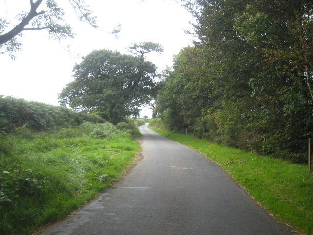
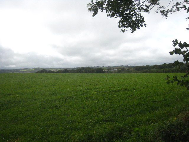
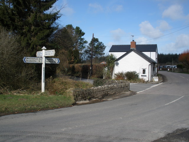
East Putford is a small village located in the county of Devon, England. Situated in the Torridge district, it is nestled within the picturesque countryside, surrounded by rolling hills and fields. The village is approximately 10 miles west of the market town of Bideford and 5 miles north of the popular coastal town of Westward Ho!

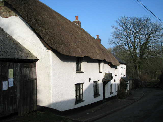
East Putford is characterized by its charming rural setting and tranquil atmosphere. With a population of around 300 residents, it offers a close-knit community feel. The village is known for its traditional thatched cottages and well-preserved historic buildings, which add to its rustic charm.

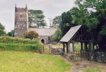
Despite its small size, East Putford boasts a few amenities to cater to its residents. These include a local pub, which serves as a social hub for the community, and a village hall that hosts various events and gatherings. The village also has a parish church, adding to its historical significance.

The surrounding area offers ample opportunities for outdoor activities and exploration. The nearby North Devon coast provides stunning seaside vistas, with numerous sandy beaches and rugged cliffs to explore. Inland, the countryside is crisscrossed with footpaths and bridleways, inviting walkers, hikers, and cyclists to discover the natural beauty of the region.

Overall, East Putford is a quaint and idyllic village, offering a peaceful retreat for those seeking a slower pace of life and a connection to the unspoiled countryside of Devon.

If you have any feedback on the listing, please let us know in the comments section below.
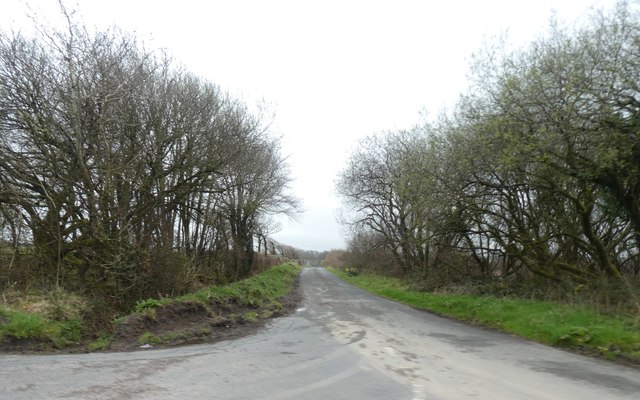
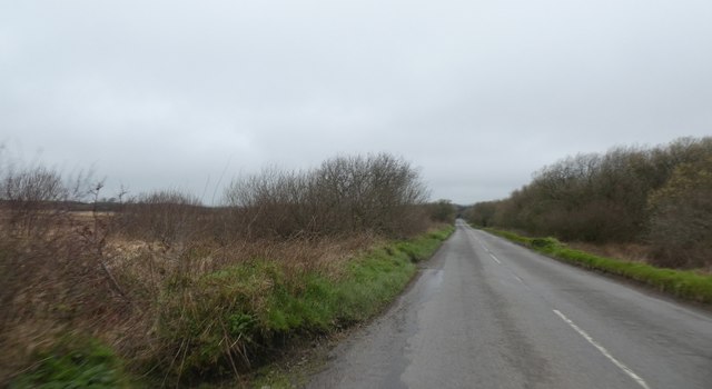
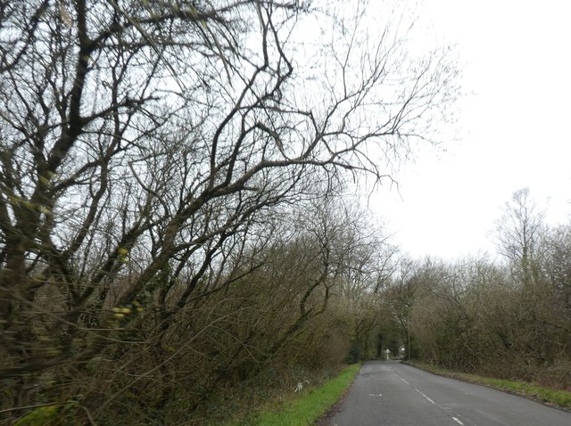
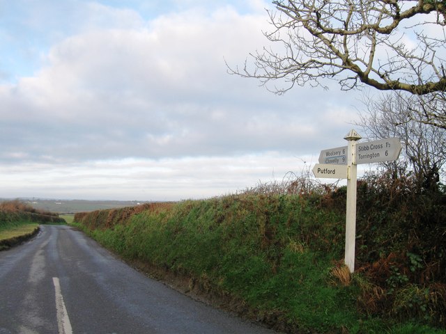
East Putford Images

Images are sourced within 2km of 50.92365/-4.323857 or Grid Reference SS3616. Thanks to Geograph Open Source API. All images are credited.

Straight road south across Common Moor
Straight road across Common Moor Long straight sections of road are a common feature in this area of reclaimed moorland
Straight road across Common Moor
Long straight sections of road are a common feature in this area of reclaimed moorland
Road across Common Moor approaching Powler's Piece
Turning for Putford
Turning for Putford
Common Moor, road junction
The church of St Stephen at West Putford
The road from Bulkworthy to West Putford Near Mambury.
The road from Bulkworthy to West Putford
Near Mambury.
Field near Stowford
Field near Stowford
Ordnance Survey Cut Mark This can be found on the wall of St Stephens Church.
For more detail see : <span class="nowrap"><a title="http://www.bench-marks.org.uk/bm52281" rel="nofollow ugc noopener" href="http://www.bench-marks.org.uk/bm52281">Link</a><img style="margin-left:2px;" alt="External link" title="External link - shift click to open in new window" src="https://s1.geograph.org.uk/img/external.png" width="10" height="10"/></span>
Ordnance Survey Cut Mark
This can be found on the wall of St Stephens Church. For more detail see : LinkExternal link
North Devon : Gnome Reserve The North Devon Gnome Reserve has lots of gnomes.
North Devon : Gnome Reserve
The North Devon Gnome Reserve has lots of gnomes.
North Devon : Gnome Reserve Looking down upon a load of gnomes in the gnome reserve.
North Devon : Gnome Reserve
Looking down upon a load of gnomes in the gnome reserve.
North Devon : Gnome Reserve The Gnome Reserve's West Putford Scramble 2015 taking place.
North Devon : Gnome Reserve
The Gnome Reserve's West Putford Scramble 2015 taking place.
North Devon : Gnome Reserve Gnomes having a wee at the Gnome Reserve.
North Devon : Gnome Reserve
Gnomes having a wee at the Gnome Reserve.
North Devon : Gnome Reserve A Punch and Judy Show entertains the gnomes.
North Devon : Gnome Reserve
A Punch and Judy Show entertains the gnomes.
North Devon : Gnome Reserve Gnomes along a small stream at the Gnome Reserve.
North Devon : Gnome Reserve
Gnomes along a small stream at the Gnome Reserve.
West Putford Church Another Devon location where my BLIGHT ancestors came from.
West Putford Church
Another Devon location where my BLIGHT ancestors came from.
East Putford Church Another Devon location where my BLIGHT ancestors came from.
East Putford Church
Another Devon location where my BLIGHT ancestors came from.
Riverside Cottage, West Putford This attractive thatched cottage is just over the bridge at the bottom of the hill leading up to West Putford school.
Riverside Cottage, West Putford
This attractive thatched cottage is just over the bridge at the bottom of the hill leading up to West Putford school.
Show me another place!

East Putford is located at Grid Ref: SS3616 (Lat: 50.92365, Lng: -4.323857)

Administrative County: Devon

District: Torridge

Police Authority: Devon and Cornwall

What 3 Words

///baseless.icons.pest. Near Holsworthy, Devon

Nearby Locations

Putford, East East Putford

Related Wikis

West Putford

West Putford is a small settlement and civil parish in the local government district of Torridge, Devon, England. The parish, which lies about 8.5 miles...

East Putford

East Putford is a small settlement and civil parish in the local government district of Torridge, Devon, England. The parish, which lies about halfway...
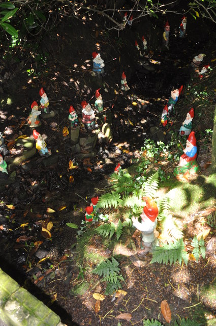
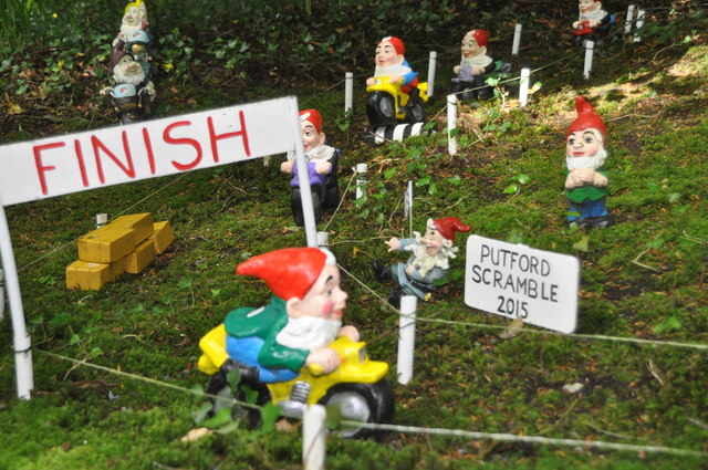
Gnome Reserve

The Gnome Reserve is a garden and tourist attraction in West Putford, near Bradworthy, Devon, England, presented as a pastoral refuge for garden gnomes...

Bulkworthy

Bulkworthy is a village and civil parish in the Torridge district of Devon, England, about 9 miles southwest of Great Torrington, and on the River Torridge...

Related Videos

Nearby Amenities

Located within 500m of 50.92365,-4.323857
East Putford
Place: hamlet
Lat/Long: 50.9236489/-4.3257089
Direction: SSE
Generator Method: photovoltaic
Generator Output Electricity: yes
Generator Solar Modules: 24
Generator Source: solar
Generator Type: solar_photovoltaic_panel
Location: roof
Power: generator
Lat/Long: 50.9238124/-4.3253219
Direction: ENE
Generator Method: photovoltaic
Generator Output Electricity: yes
Generator Solar Modules: 16
Generator Source: solar
Generator Type: solar_photovoltaic_panel
Location: roof
Power: generator
Lat/Long: 50.9244515/-4.3226943
Direction: WSW
Generator Method: photovoltaic
Generator Output Electricity: yes
Generator Solar Modules: 16
Generator Source: solar
Generator Type: solar_photovoltaic_panel
Location: roof
Power: generator
Lat/Long: 50.9244391/-4.3227634
Power: pole
Source: bing
Lat/Long: 50.9207386/-4.3284872
Power: pole
Source: bing
Lat/Long: 50.9207276/-4.3279374
Power: pole
Source: bing
Lat/Long: 50.9206566/-4.327075
Power: pole
Source: bing
Lat/Long: 50.9205822/-4.3261014
Power: pole
Source: bing
Lat/Long: 50.9203218/-4.322864
Power: pole
Source: bing
Lat/Long: 50.9204156/-4.3240173
Power: pole
Source: bing
Lat/Long: 50.9194882/-4.3250325
Power: pole
Source: bing
Lat/Long: 50.9204858/-4.3248957
Power: pole
Source: bing
Lat/Long: 50.9231361/-4.3237934
Power: pole
Source: bing
Lat/Long: 50.9222409/-4.3241742
Power: pole
Source: bing
Lat/Long: 50.9213616/-4.3245336
Power: pole
Source: bing
Lat/Long: 50.9204418/-4.3204674
Power: pole
Source: bing
Lat/Long: 50.9202288/-4.3217173
Power: pole
Source: bing
Lat/Long: 50.9206904/-4.31907
The data included in this document is from www.openstreetmap.org. The data is made available under ODbL.

Have you been to East Putford?

Leave your review of East Putford below (or comments, questions and feedback).