Jericho Wood

Wood, Forest in Lincolnshire South Kesteven

England

Jericho Wood

Bridge on Sand Lane Carrying the East Coast Main Line north of Grantham.
Bridge on Sand Lane Credit: Tim Heaton

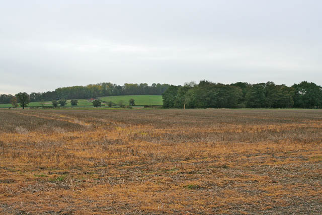
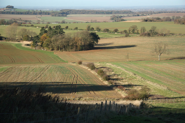
Jericho Wood is a small forest located in the county of Lincolnshire, England. It covers an area of approximately 100 acres and is situated near the village of Wood. The forest is known for its dense woodlands, diverse wildlife, and tranquil atmosphere.

The forest is predominantly composed of oak and beech trees, which provide a picturesque landscape throughout the year. The foliage displays vibrant colors during autumn, attracting visitors who come to witness the stunning beauty of the changing seasons. The tall, majestic trees offer a sense of tranquility and create a peaceful environment for nature enthusiasts and hikers.

Jericho Wood is also home to a variety of wildlife. Deer, foxes, rabbits, and numerous bird species can be spotted within the forest. The diverse ecosystem supports a rich array of flora and fauna, making it an ideal location for nature lovers and birdwatchers.

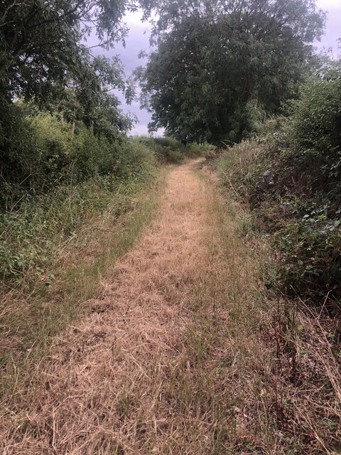
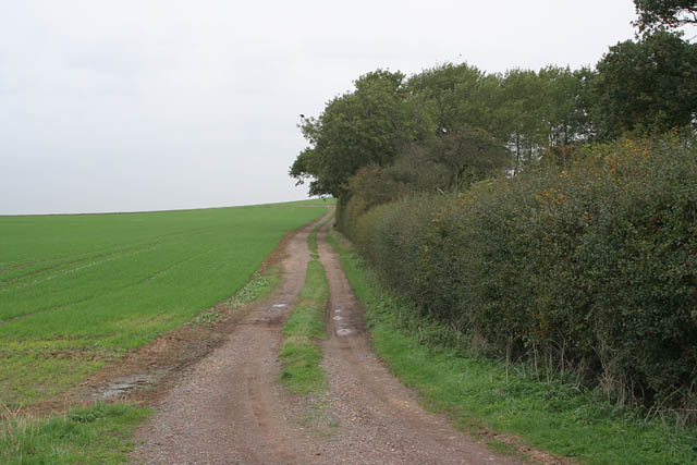
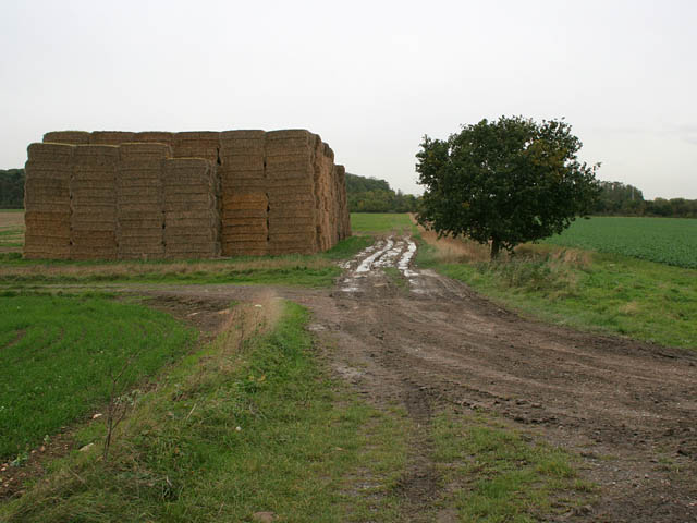
The forest offers several walking trails and paths, allowing visitors to explore its natural beauty at their own pace. These trails are well-maintained and offer different levels of difficulty, catering to both casual walkers and more experienced hikers.

In addition to its natural beauty, Jericho Wood has historical significance. The forest has been a part of the Lincolnshire landscape for centuries and has witnessed various historical events and changes over time.

Overall, Jericho Wood in Lincolnshire is a haven for nature lovers, offering a serene environment, diverse wildlife, and an opportunity to explore the region's natural and historical treasures.

If you have any feedback on the listing, please let us know in the comments section below.
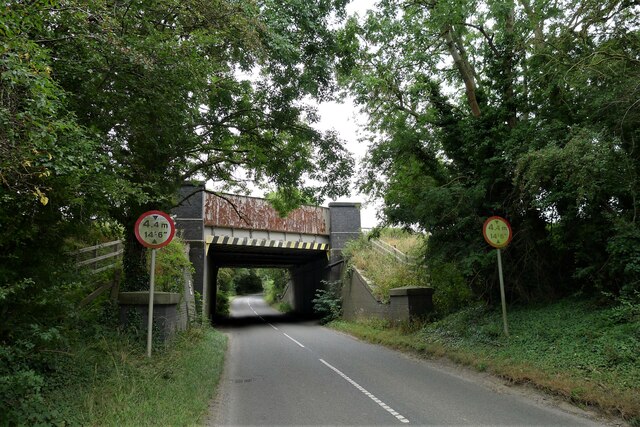
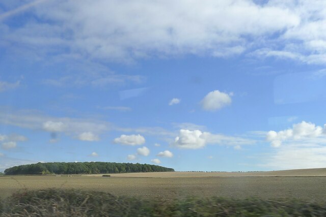
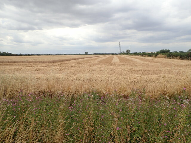
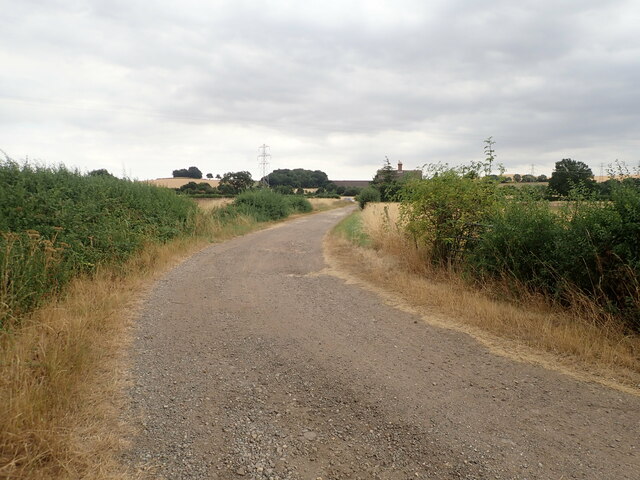
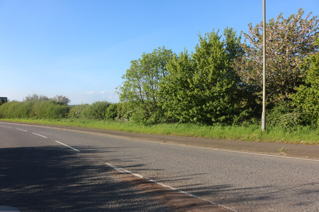
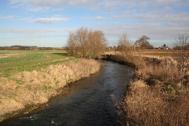
Jericho Wood Images

Images are sourced within 2km of 52.956752/-0.65120752 or Grid Reference SK9040. Thanks to Geograph Open Source API. All images are credited.

Bridge on Sand Lane Carrying the East Coast Main Line north of Grantham.
Bridge on Sand Lane
Carrying the East Coast Main Line north of Grantham.
Jericho Wood Sitting on the northern end of Great Gonerby's ridge.
This is a difficult square to Geograph, with no easy access other than by the occasional direct train between Grantham and Ancaster. And then, as the train speeds along just the few hundred yards not in a cutting (with trees obscuring the view over half of that), just seconds in which to take a picture.
Jericho Wood
Sitting on the northern end of Great Gonerby's ridge. This is a difficult square to Geograph, with no easy access other than by the occasional direct train between Grantham and Ancaster. And then, as the train speeds along just the few hundred yards not in a cutting (with trees obscuring the view over half of that), just seconds in which to take a picture.
Part-harvested wheat field, near Marston
Footpath Heading south towards Oakdale Farm
Footpath
Heading south towards Oakdale Farm
Oakdale Farm
Oakdale Farm
Great North Road, Gonerby Moor
Derelict buildings at Mickling Farm
River Witham Looking north towards Barkston from Hambleton Bridge
River Witham
Looking north towards Barkston from Hambleton Bridge
Sand Lane Bridge Railway bridge on Sand Lane near Marston
Sand Lane Bridge
Railway bridge on Sand Lane near Marston
Entrance to Cliff Farm Jericho Wood on the horizon, <a href="https://www.geograph.org.uk/gridref/SK9040">SK9040</a>
Entrance to Cliff Farm
Jericho Wood on the horizon, SK9040
Cliff Lane near Marston, Lincolnshire
Farm track near Cliff Lane. Looking towards Oakdale Farm with a field of beans ready for harvesting.
Farm track near Cliff Lane.
Looking towards Oakdale Farm with a field of beans ready for harvesting.
A1 at Gonerby Moor Looking towards the Gonerby Moor roundabout. College Farm is on the left and <a href="https://www.geograph.org.uk/photo/155052">SK8839 : Gonerby Moor Retail Park</a> is straight ahead.
A1 at Gonerby Moor
Looking towards the Gonerby Moor roundabout. College Farm is on the left and SK8839 : Gonerby Moor Retail Park is straight ahead.
Aubry's Screed near Syston This farm track turns right off River Lane, itself a similar track which turns south to Little Oak Wood. Aubry's Screed, on the left, is a narrow belt of mixed woodland which climbs Hambleton Hill. The grid square boundary goes across the picture just where the track disappears from view.
Aubry's Screed near Syston
This farm track turns right off River Lane, itself a similar track which turns south to Little Oak Wood. Aubry's Screed, on the left, is a narrow belt of mixed woodland which climbs Hambleton Hill. The grid square boundary goes across the picture just where the track disappears from view.
Little Oak Wood and farmland near Syston
Hambleton Bridge, River Street, Syston Looking north along the square boundary. Hambleton Hill, straight ahead is mainly in <a href="https://www.geograph.org.uk/gridref/SK9141">SK9141</a> and <a href="https://www.geograph.org.uk/gridref/SK9241">SK9241</a>. The woodland to the left is Hambleton Screed and Aubry's Screed can just be made out in the distance.
Hambleton Bridge, River Street, Syston
Looking north along the square boundary. Hambleton Hill, straight ahead is mainly in SK9141 and SK9241. The woodland to the left is Hambleton Screed and Aubry's Screed can just be made out in the distance.
River Witham near Syston View northeast from Hambleton Bridge. Compare with the February picture: <a href="https://www.geograph.org.uk/photo/119669">SK9241 : River Witham</a>
River Witham near Syston
View northeast from Hambleton Bridge. Compare with the February picture: SK9241 : River Witham
Farmland near Syston and Barkston Jericho Wood is behind the stack of bales.
Farmland near Syston and Barkston
Jericho Wood is behind the stack of bales.
Show me another place!

Jericho Wood is located at Grid Ref: SK9040 (Lat: 52.956752, Lng: -0.65120752)

Administrative County: Lincolnshire

District: South Kesteven

Police Authority: Lincolnshire

What 3 Words

///woods.washroom.whoever. Near Great Gonerby, Lincolnshire

Nearby Locations

Jericho Wood

Related Wikis

Barkston railway station

Barkston railway station is a former station serving the village of Barkston, Lincolnshire. It was on the Great Northern Railway main line near to the...

Belton and Manthorpe

Belton and Manthorpe is a civil parish in the South Kesteven district of Lincolnshire, England, consisting of Belton and Manthorpe, just north of Grantham...

Grantham North services

Grantham North Services is a service area operated by Moto located on the A1 at Gonerby Moor Roundabout, four miles north of Grantham in Lincolnshire,...

Syston, Lincolnshire

Syston is a village and civil parish in the South Kesteven district of Lincolnshire, England. The population of the civil parish was 162 at the 2011 census...

Oak Bank School

Oak Bank School is a co-educational special school with academy status located in Leighton Buzzard, Bedfordshire, England. The school accepts pupils from...

Barkston

Barkston is an English village and civil parish in the South Kesteven district of Lincolnshire. The parish population was 497 at the 2001 census and 493...

St Peter and St Paul's Church, Belton

The Church of St Peter and St Paul, Belton, South Kesteven, Lincolnshire is a functioning parish church and a Grade I listed building. Since the 17th century...

Belton, South Kesteven

Belton is a village in the civil parish of Belton and Manthorpe, in the South Kesteven district of Lincolnshire, England. It is situated on the A607 road...

Nearby Amenities

Located within 500m of 52.956752,-0.65120752
Jericho Farm
Place: farm
Source: Bing
Lat/Long: 52.9587313/-0.6474923
The data included in this document is from www.openstreetmap.org. The data is made available under ODbL.

Have you been to Jericho Wood?

Leave your review of Jericho Wood below (or comments, questions and feedback).