Vale Wood
Wood, Forest in Sussex Chichester
England
Vale Wood
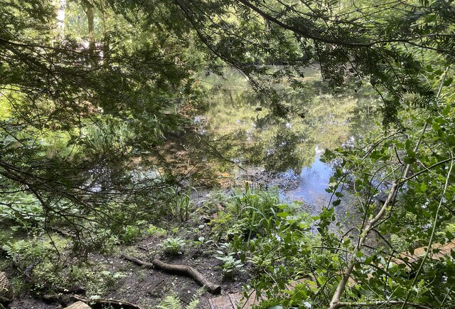
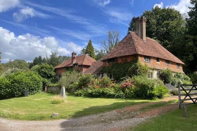
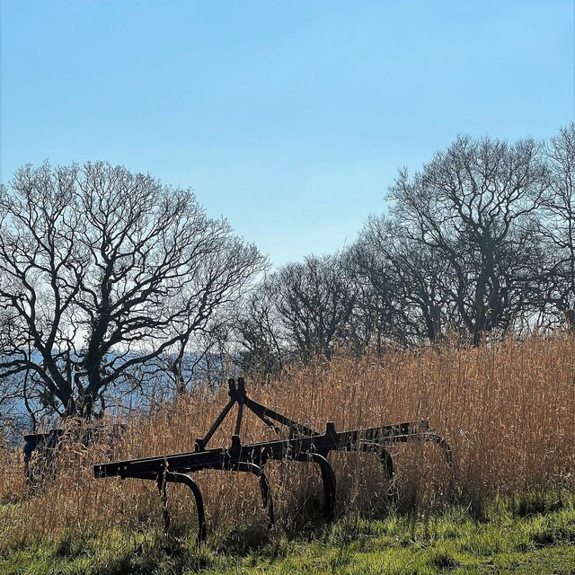
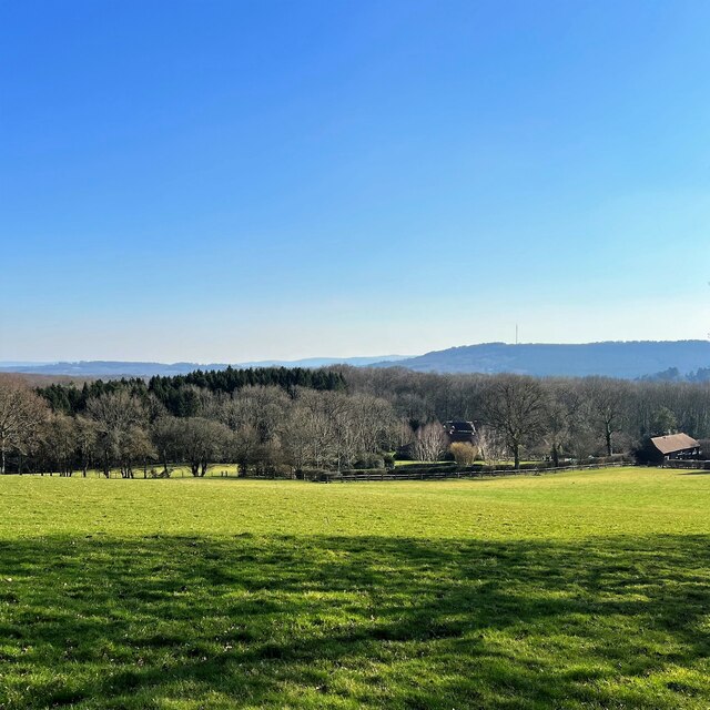
Vale Wood is a picturesque woodland located in the county of Sussex, England. Situated near the village of Vale, this enchanting forest covers an area of about 100 acres. It is known for its diverse flora and fauna, making it a popular destination for nature lovers and hikers alike.
The wood is primarily composed of native broadleaf trees, such as oak, beech, and birch, which create a rich and vibrant canopy that provides shade and shelter for the woodland floor. The forest floor is adorned with a variety of wildflowers, including bluebells, primroses, and wood anemones, creating a colorful and fragrant display during the spring months.
Vale Wood is also home to a wide range of wildlife. Birdwatchers can spot various species, including woodpeckers, nuthatches, and tawny owls. Squirrels can be seen darting between the trees, while badgers and foxes occasionally make an appearance during the quieter hours of the day.
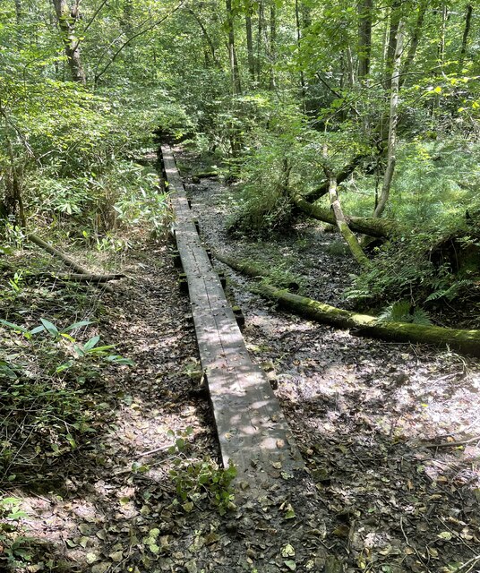
The wood offers several well-maintained footpaths and trails, allowing visitors to explore its natural beauty and immerse themselves in the peaceful surroundings. The gentle rustling of leaves and the soothing sound of birdsong create a serene atmosphere, making it an ideal spot for relaxation and rejuvenation.
Vale Wood is managed by a local conservation group dedicated to preserving its natural habitat and promoting biodiversity. They organize guided walks and educational programs to raise awareness about the importance of woodland conservation.
In conclusion, Vale Wood is a captivating woodland in Sussex that offers a tranquil escape into nature. With its diverse flora and fauna, it provides a haven for both wildlife and visitors seeking solace in its serene beauty.
If you have any feedback on the listing, please let us know in the comments section below.
Vale Wood Images
Images are sourced within 2km of 51.071364/-0.71108992 or Grid Reference SU9031. Thanks to Geograph Open Source API. All images are credited.


Vale Wood is located at Grid Ref: SU9031 (Lat: 51.071364, Lng: -0.71108992)
Administrative County: West Sussex
District: Chichester
Police Authority: Sussex
What 3 Words
///spoil.marine.visits. Near Haslemere, Surrey
Nearby Locations
Related Wikis

Haste Hill
Haste Hill is a hill near Haslemere, Surrey in England which was probably the original settlement of the town of Haslemere. It was used as the site of...

Haslemere Town Hall
Haslemere Town Hall is a municipal building in the High Street, Haslemere, Surrey, England. The structure, which serves as the meeting place of Haslemere...
The Curry Club
The Curry Club was founded by Pat Chapman in 1982, to further the understanding and appreciation of the cuisines of the Indian subcontinent. In 2007 it...
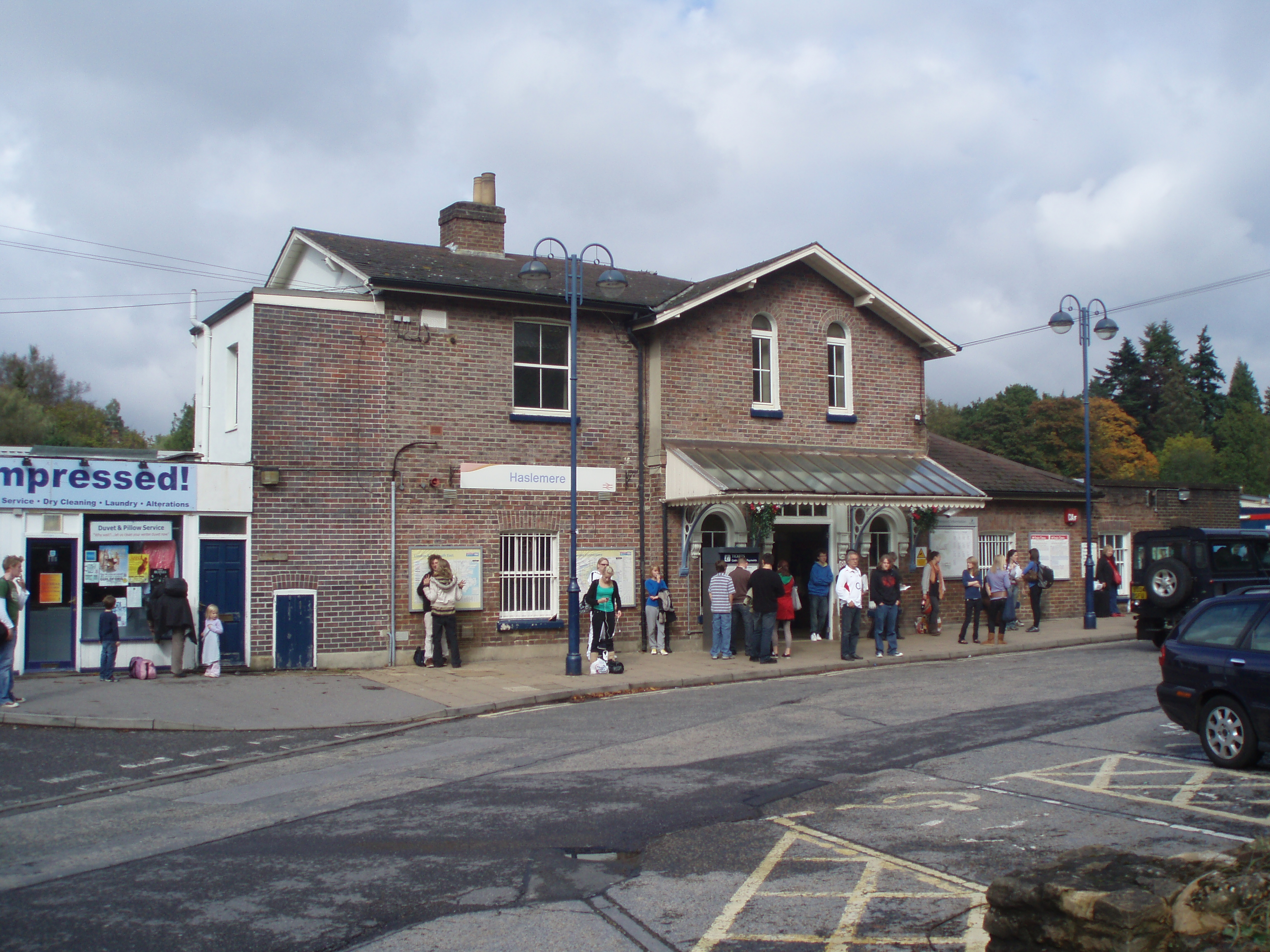
Haslemere railway station
Haslemere railway station is on the Portsmouth Direct Line, serving the town of Haslemere, Surrey, England. It is 42 miles 79 chains (69.2 km) down the...

Blackdown, West Sussex
Blackdown, or Black Down, summit elevation 279.7 metres (918 ft) AMSL, is the highest point in both the historic county of Sussex and the South Downs National...

Haslemere Educational Museum
Haslemere Educational Museum was founded in 1888 by the eminent surgeon Sir Jonathan Hutchinson to display his growing collection of natural history specimens...
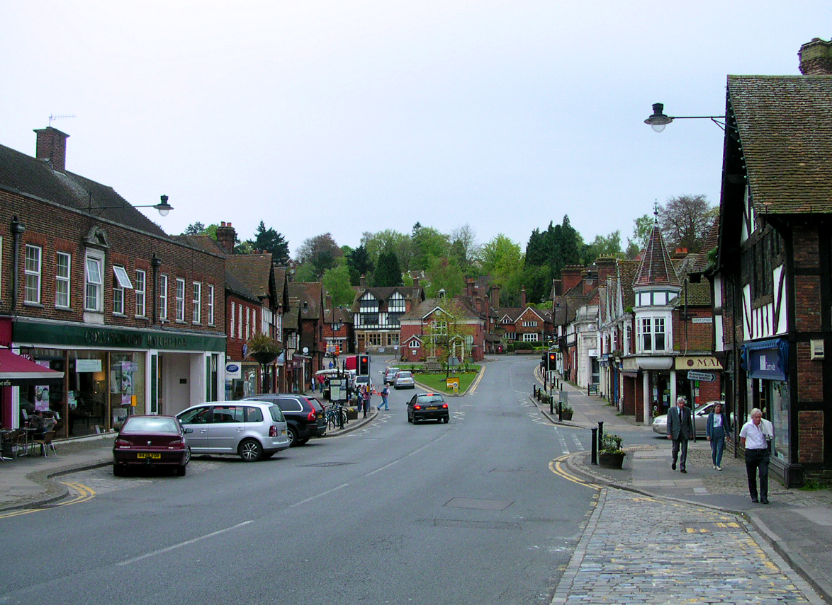
Haslemere
The town of Haslemere () and the villages of Shottermill and Grayswood are in south west Surrey, England, around 38 mi (62 km) south west of London. Together...

Serpent Trail
The Serpent Trail is a 64-mile (103 km) long distance footpath. It runs from Haslemere to Petersfield, which are 11 miles apart in a straight line, by...
Nearby Amenities
Located within 500m of 51.071364,-0.71108992Have you been to Vale Wood?
Leave your review of Vale Wood below (or comments, questions and feedback).