Ronald Wood

Wood, Forest in Buckinghamshire

England

Ronald Wood

Treadaway Hill going under the M40
Treadaway Hill going under the M40 Credit: David Howard

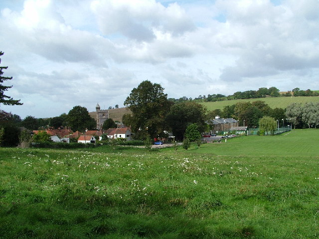
Ronald Wood is a charming and picturesque forest located in Buckinghamshire, England. This woodland gem covers an area of approximately 500 acres and is renowned for its natural beauty and rich biodiversity. It is situated near the town of High Wycombe and offers a tranquil escape from the hustle and bustle of city life.

The woodland, which is predominantly made up of ancient beech trees, is a haven for nature enthusiasts and outdoor lovers. It provides a habitat for a diverse range of flora and fauna, including various species of birds, mammals, and insects. Visitors can enjoy peaceful walks along the well-maintained trails, immersing themselves in the calming atmosphere and admiring the striking beauty of the forest.

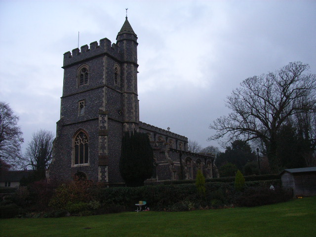
Ronald Wood also holds historical significance. It is believed that the woodland has been in existence for centuries, with evidence of human activity dating back to the Iron Age. The forest has witnessed numerous changes over the years, including its use as a timber resource during the medieval period.

Today, Ronald Wood is managed by the local authorities, who ensure its preservation and protection. The forest is a popular destination for recreational activities such as hiking, birdwatching, and photography. It also serves as an educational resource, with schools and nature groups organizing field trips to learn about the local ecosystem and the importance of conservation.

In conclusion, Ronald Wood is a remarkable forest in Buckinghamshire that offers a unique blend of natural beauty, historical significance, and recreational opportunities. It is a place where visitors can connect with nature, unwind, and appreciate the wonders of the great outdoors.

If you have any feedback on the listing, please let us know in the comments section below.
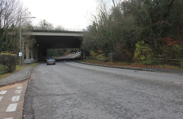
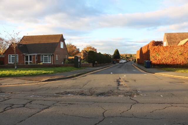
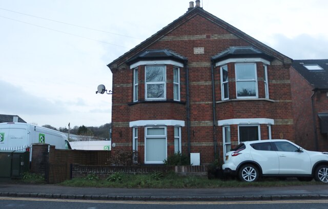
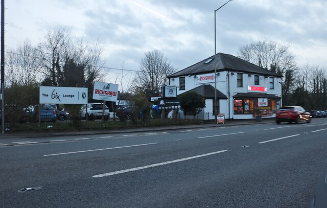
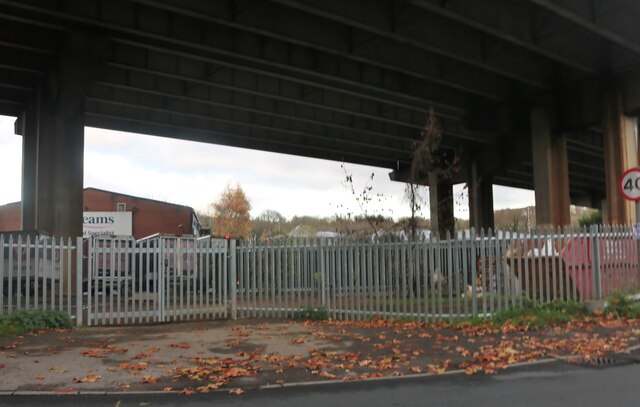
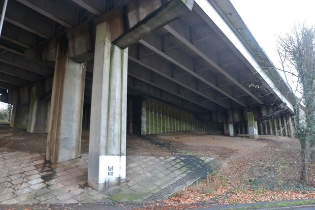
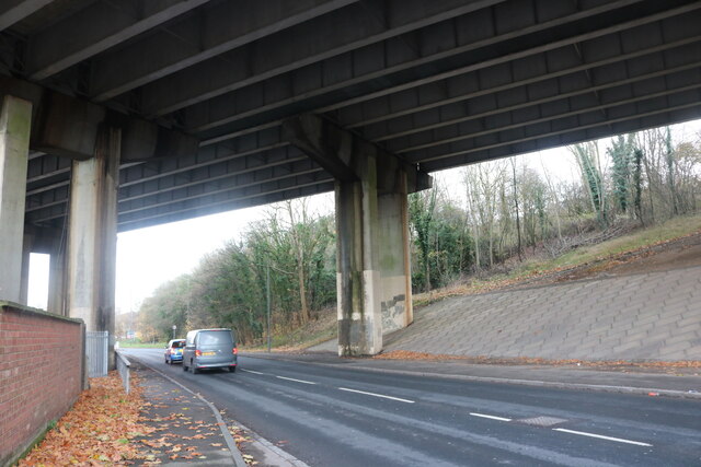
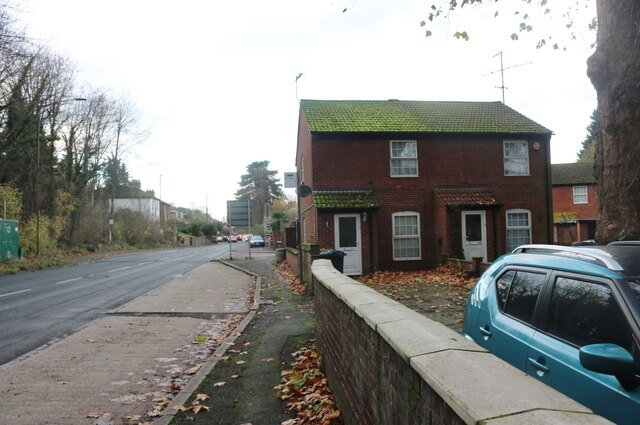
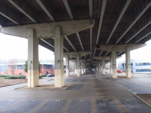
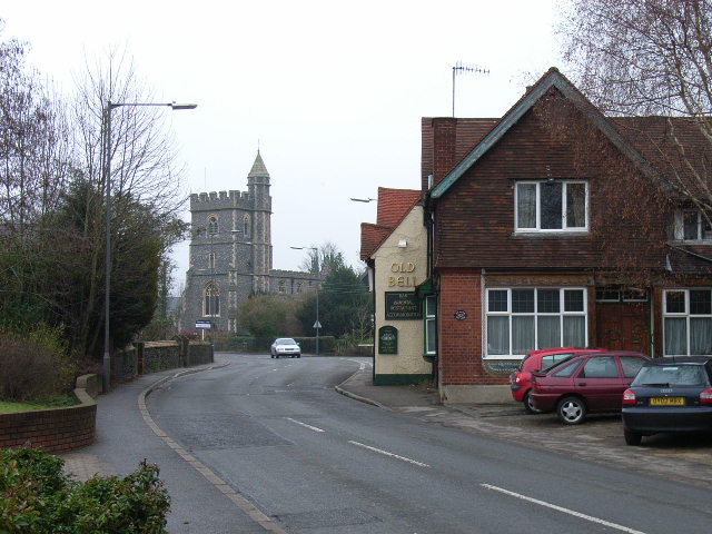
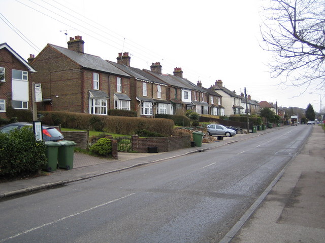
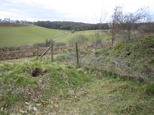
Ronald Wood Images

Images are sourced within 2km of 51.59013/-0.6976473 or Grid Reference SU9088. Thanks to Geograph Open Source API. All images are credited.

Treadaway Hill going under the M40
Fennels Farm Road from Swains Lane
On the M40 west-bound at junction 3
House on London Road, Loudwater
Hyundai garage on London Road, Loudwater
Rickshaw restaurant on London Road, Loudwater It replaced the Bombay Grill Indian a few months ago.
Rickshaw restaurant on London Road, Loudwater
It replaced the Bombay Grill Indian a few months ago.
Looking under the M40 in Loudwater
Boundary Road, Loudwater Going under the M40
Boundary Road, Loudwater
Going under the M40
Boundary Road, Loudwater
Wooburn from Berghers Hill Taken from near the entrance to the wood on top of the hill
Wooburn from Berghers Hill
Taken from near the entrance to the wood on top of the hill
St Paul's, Wooburn
St Paul's, Wooburn
Wooburn Green and war memorial
Glory Mill Former papermill, now apartments
Glory Mill
Former papermill, now apartments
Beneath the M40 at Loudwater
Wooburn The A4094, St Paul's church and The Old Bell.
Wooburn
The A4094, St Paul's church and The Old Bell.
Wooburn Green: A4094 Boundary Road Viewed looking north westwards.
Wooburn Green: A4094 Boundary Road
Viewed looking north westwards.
Wooburn Green: Ronald Wood valley Dry valley viewed looking westwards from Whitepit Lane.
Wooburn Green: Ronald Wood valley
Dry valley viewed looking westwards from Whitepit Lane.
Show me another place!

Ronald Wood is located at Grid Ref: SU9088 (Lat: 51.59013, Lng: -0.6976473)

Unitary Authority: Buckinghamshire

Police Authority: Thames Valley

What 3 Words

///loss.visa.quick. Near Bourne End, Buckinghamshire

Related Wikis

Wooburn Green railway station

Wooburn Green railway station was a railway station which served Wooburn Green, Buckinghamshire, England, on the Wycombe Railway. It was opened in 1854...

Wooburn Green

Wooburn Green is a village in the civil parish of Wooburn, Buckinghamshire, England. == Location == Wooburn Green is a village situated four miles south...

Wooburn

Wooburn is a large village in Buckinghamshire, England. It is located off the A4094 road between Wooburn Green and Bourne End in the very south of the...

Wooburn and Bourne End

Wooburn, or Wooburn and Bourne End, is a civil parish in Buckinghamshire, England. South-east of High Wycombe, it comprises the villages of Wooburn, Wooburn...

Bourne End Academy

Bourne End Academy, is a co-educational secondary school in Bourne End, Buckinghamshire, England. It is a secondary school, which takes pupils from the...

Warren Nature Reserve

Warren Nature Reserve is a 2.3 hectares (5.7 acres) Local Nature Reserve in Wooburn in Buckinghamshire. It is owned by Wycombe District Council and managed...

Bourne End, Buckinghamshire

Bourne End is a village mostly in the parish of Wooburn, but partly in that of Little Marlow in Buckinghamshire, England. It is about five miles (8 km...

Cores End

Cores End is a hamlet in the civil parish of Wooburn (where at the 2011 Census the population was included), in Buckinghamshire, England. == References ==

Nearby Amenities

Located within 500m of 51.59013,-0.6976473
Turning Circle
Turning Circle: hammer
Lat/Long: 51.5934814/-0.6997926
Turning Circle
Turning Circle: square
Lat/Long: 51.5920803/-0.7003821
Turning Circle
Turning Circle: hammer
Lat/Long: 51.5922134/-0.7034927
Post Box
Brand: Royal Mail
Brand Wikidata: Q638098
Brand Wikipedia: en:Royal Mail
Collection Times: Mo-Fr 16:00; Sa 12:00
Operator: Royal Mail
Operator Wikidata: Q638098
Post Box Type: pillar
Ref: HP10 142
Royal Cypher: EIIR
Royal Cypher Wikidata: Q33102113
Source: survey
Survey Date: 2016-02-13
Lat/Long: 51.5917669/-0.7026997
Direction: 190
Generator Method: photovoltaic
Generator Output Electricity: yes
Generator Solar Modules: 12
Generator Source: solar
Generator Type: solar_photovoltaic_panel
Location: roof
Power: generator
Lat/Long: 51.5920815/-0.7014718
Direction: S
Generator Method: photovoltaic
Generator Output Electricity: yes
Generator Solar Modules: 10
Generator Source: solar
Generator Type: solar_photovoltaic_panel
Location: roof
Power: generator
Lat/Long: 51.5931842/-0.7003334
Direction: 190
Generator Method: photovoltaic
Generator Output Electricity: yes
Generator Solar Modules: 12
Generator Source: solar
Generator Type: solar_photovoltaic_panel
Location: roof
Power: generator
Tilted: no
Lat/Long: 51.5909961/-0.7008015
Direction: E
Generator Method: photovoltaic
Generator Output Electricity: yes
Generator Solar Modules: 9
Generator Source: solar
Generator Type: solar_photovoltaic_panel
Location: roof
Power: generator
Lat/Long: 51.5931627/-0.6971158
Direction: 190
Generator Method: photovoltaic
Generator Output Electricity: yes
Generator Solar Modules: 12
Generator Source: solar
Generator Type: solar_photovoltaic_panel
Location: roof
Power: generator
Lat/Long: 51.5927479/-0.7008856
Direction: W
Generator Method: photovoltaic
Generator Output Electricity: yes
Generator Solar Modules: 18
Generator Source: solar
Generator Type: solar_photovoltaic_panel
Location: roof
Power: generator
Lat/Long: 51.5931035/-0.6987252
Direction: S
Generator Method: photovoltaic
Generator Output Electricity: yes
Generator Solar Modules: 9
Generator Source: solar
Generator Type: solar_photovoltaic_panel
Location: roof
Power: generator
Lat/Long: 51.5931669/-0.6953868
Direction: SSE
Generator Method: photovoltaic
Generator Output Electricity: yes
Generator Solar Modules: 10
Generator Source: solar
Generator Type: solar_photovoltaic_panel
Location: roof
Power: generator
Lat/Long: 51.5865351/-0.7016136
Direction: SSE
Generator Method: photovoltaic
Generator Output Electricity: yes
Generator Solar Modules: 4
Generator Source: solar
Generator Type: solar_photovoltaic_panel
Location: roof
Power: generator
Lat/Long: 51.5865525/-0.7017154
Turning Circle
Turning Circle: knuckle
Lat/Long: 51.5933144/-0.7004793
The data included in this document is from www.openstreetmap.org. The data is made available under ODbL.

Have you been to Ronald Wood?

Leave your review of Ronald Wood below (or comments, questions and feedback).