Britty Copse

Wood, Forest in Surrey Waverley

England

Britty Copse

View across The Tarn
View across The Tarn Credit: David Martin

The requested URL returned error: 429 Too Many Requests

If you have any feedback on the listing, please let us know in the comments section below.
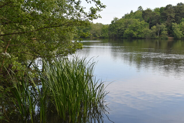
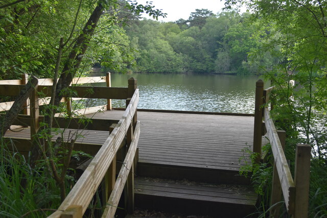
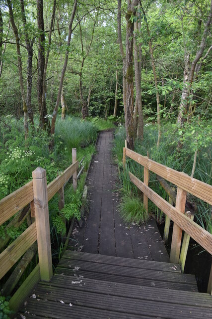
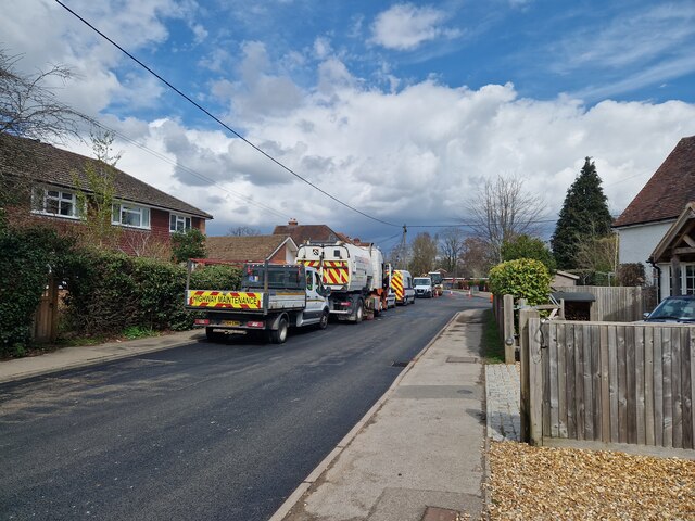
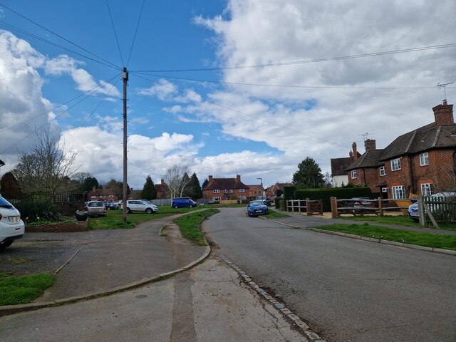
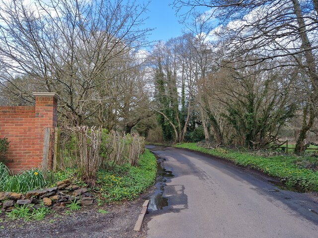
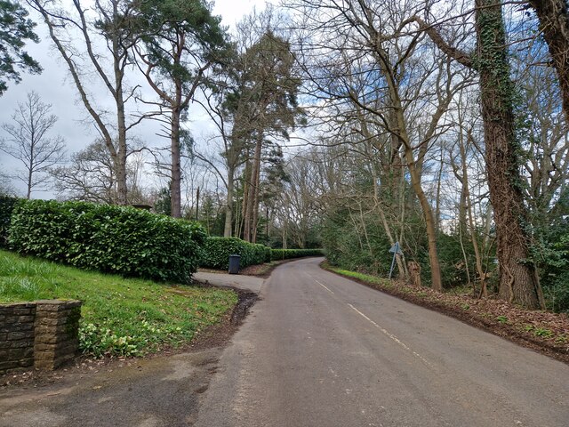
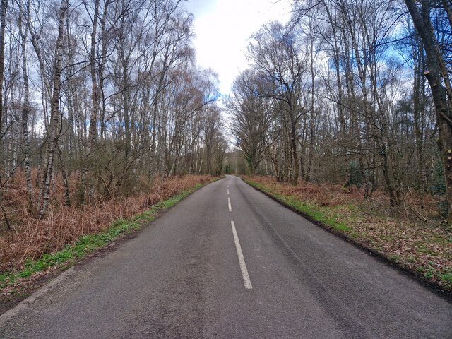
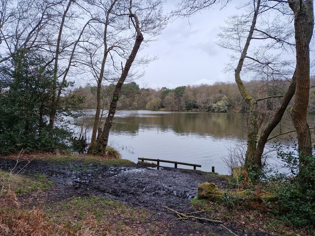
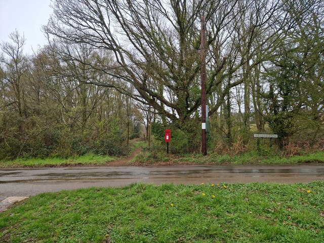
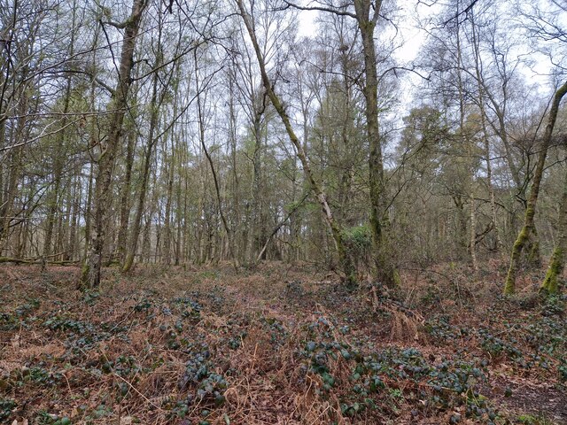
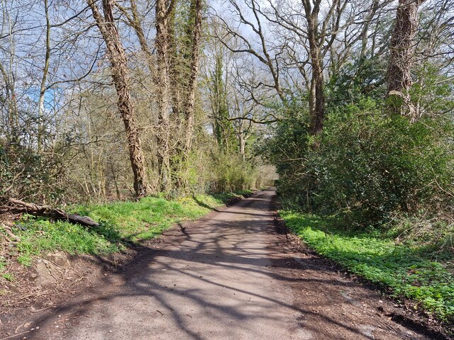
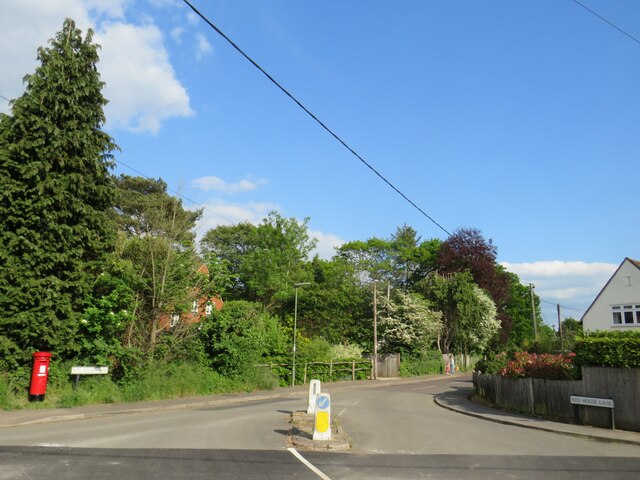
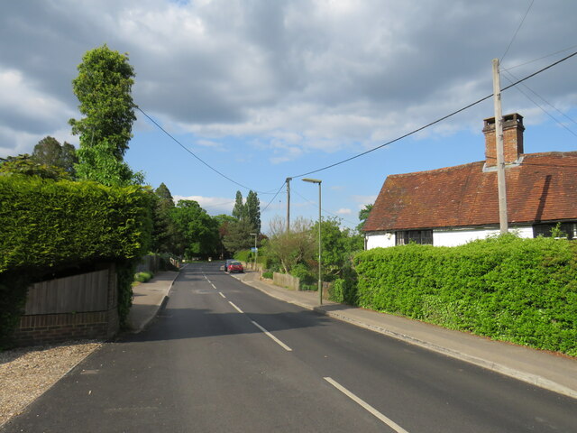
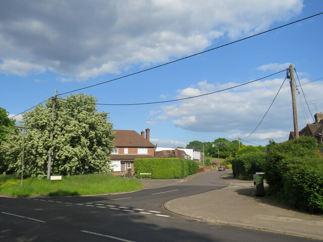
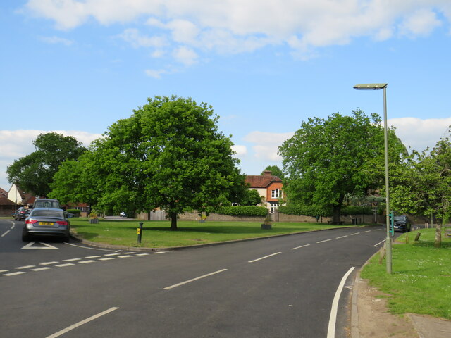
Britty Copse Images

Images are sourced within 2km of 51.196978/-0.70921991 or Grid Reference SU9044. Thanks to Geograph Open Source API. All images are credited.

View across The Tarn
Landing stage on The Tarn
Boardwalk through marshy edges of The Tarn
Navigating northwards up the Bashir (10) Road works at Elstead
Navigating northwards up the Bashir (10)
Road works at Elstead
Springfield: early April 2023 (taken from the junction with Bankside Close)
Springfield: early April 2023
(taken from the junction with Bankside Close)
Navigating northwards up the Basher (11) Taken in Fulbrook Lane, just past Thundry Farm
Navigating northwards up the Basher (11)
Taken in Fulbrook Lane, just past Thundry Farm
Fulbrook  Lane in early April
Fulbrook Lane in early April
Navigating northwards up the Basher (12) Top end of Fulbrook Lane
Navigating northwards up the Basher (12)
Top end of Fulbrook Lane
The Tarn: April 2020
Postbox in Suffield Lane
Navigating northwards up the Basher (13) Woodland just off the path near Warren Pond
Navigating northwards up the Basher (13)
Woodland just off the path near Warren Pond
Looking eastwards in Ham Lane
Red House Lane, Elstead, near Farnham Red House Lane is a minor road in the village of Elstead in Surrey.
Red House Lane, Elstead, near Farnham
Red House Lane is a minor road in the village of Elstead in Surrey.
Thursley Road, Elstead, near Farnham Thursley Road is a minor road leading into the village of Elstead in Surrey.
Thursley Road, Elstead, near Farnham
Thursley Road is a minor road leading into the village of Elstead in Surrey.
West Hill, Elstead, near Farnham West Hill is a residential road in Elstead, a village in Surrey.
West Hill, Elstead, near Farnham
West Hill is a residential road in Elstead, a village in Surrey.
The Green, Elstead, near Farnham The Green in the village of Elstead in Surrey.
The Green, Elstead, near Farnham
The Green in the village of Elstead in Surrey.
Milford Road, Elstead, near Farnham Milford Road is on the route of the B3001 as it passes through the village of Elstead in Surrey.
Milford Road, Elstead, near Farnham
Milford Road is on the route of the B3001 as it passes through the village of Elstead in Surrey.
Stream through Horne Wood Quite a bit of iron around.
Stream through Horne Wood
Quite a bit of iron around.
Show me another place!

Britty Copse is located at Grid Ref: SU9044 (Lat: 51.196978, Lng: -0.70921991)

Administrative County: Surrey

District: Waverley

Police Authority: Surrey

What 3 Words

///webcams.blunders.hourglass. Near Elstead, Surrey

Nearby Locations

Britty Copse

Related Wikis

Thundry Meadows

Thundry Meadows is a 16-hectare (40-acre) nature reserve in Elstead in Surrey. It is managed by the Surrey Wildlife Trust. Part of it is Charleshill Site...

Charleshill SSSI

Charleshill SSSI is a 10.1-hectare (25-acre) biological Site of Special Scientific Interest west of Elstead in Surrey. It is part of Thundry Meadows nature...

Puttenham and Crooksbury Commons

Puttenham and Crooksbury Commons is a 113.8-hectare (281-acre) biological Site of Special Scientific Interest between Farnham and Guildford in Surrey....

Elstead

Elstead is a civil parish in Surrey, England with shops, houses and cottages spanning the north and south sides of the River Wey; development is concentrated...

Nearby Amenities

Located within 500m of 51.196978,-0.70921991
Britty Hill Water Treatment Works
Man Made: wastewater_plant
Source: OS_OpenData_StreetView;seen on journey
Lat/Long: 51.1977749/-0.7043804
Britty Hill Cottage
Building: house
Source: OS_OpenData_StreetView
Lat/Long: 51.1994963/-0.7049812
Fullbrook Farm
Landuse: farmland
Note Retag: CS #48756035
Source: OS_OpenData_StreetView
Lat/Long: 51.1944203/-0.7052763
Fullbrook House
Building: house
Source: OS_OpenData_StreetView
Lat/Long: 51.1933583/-0.7061512
Power: pole
Lat/Long: 51.1979309/-0.7130143
Power: pole
Lat/Long: 51.1961744/-0.7042676
Power: pole
Lat/Long: 51.1959005/-0.7028192
The data included in this document is from www.openstreetmap.org. The data is made available under ODbL.

Have you been to Britty Copse?

Leave your review of Britty Copse below (or comments, questions and feedback).