Pickworth's Plot
Wood, Forest in Lincolnshire North Kesteven
England
Pickworth's Plot
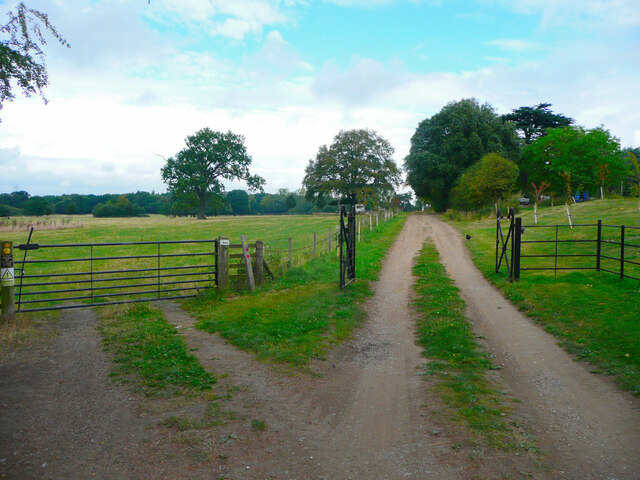
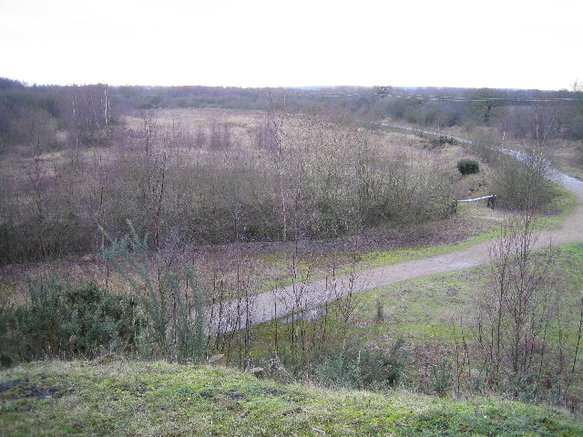
Pickworth's Plot is a wood located in Lincolnshire, England. It is a well-known forested area that covers approximately 200 acres of land. The wood is situated in the south of the county, near the village of Pickworth.
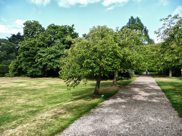
The wood is characterized by its dense and diverse vegetation, consisting mainly of deciduous trees such as oak, beech, and ash. These trees create a vibrant and picturesque landscape, especially during the autumn months when their leaves turn various shades of red, orange, and yellow.
Pickworth's Plot is home to a wide range of wildlife, including various bird species, mammals, and insects. The woodland provides a suitable habitat for animals like deer, foxes, badgers, and rabbits. Additionally, the forest attracts numerous bird species, including woodpeckers, owls, and various songbirds.
The wood is a popular destination for nature enthusiasts, hikers, and photographers who appreciate its natural beauty and tranquility. There are several well-marked trails throughout the wood, allowing visitors to explore and enjoy the surroundings. The wood also offers picnic areas and benches, providing visitors with a chance to relax and enjoy a meal amidst nature.
Pickworth's Plot has a rich history, dating back several centuries. It has been mentioned in historic documents and maps, highlighting its significance as a place of natural beauty and resource. Over the years, the wood has been carefully managed and preserved to maintain its ecological importance and recreational value.
In conclusion, Pickworth's Plot is a scenic and biodiverse wood in Lincolnshire, providing a haven for wildlife and a peaceful retreat for visitors seeking a connection with nature.
If you have any feedback on the listing, please let us know in the comments section below.
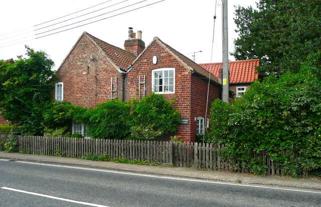
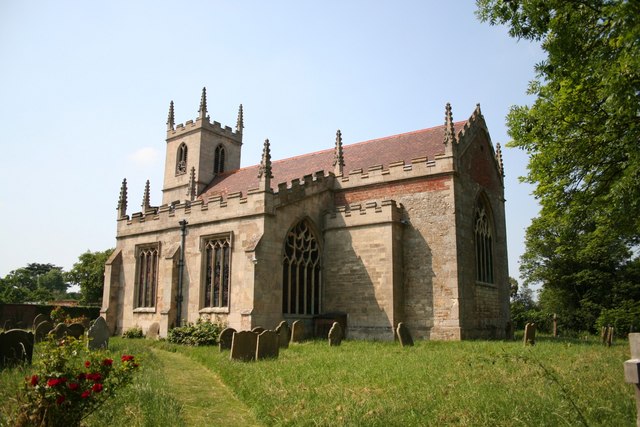
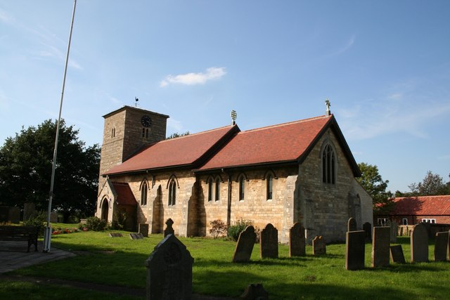
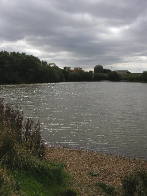
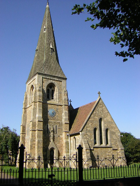
Pickworth's Plot Images
Images are sourced within 2km of 53.206596/-0.65364725 or Grid Reference SK9068. Thanks to Geograph Open Source API. All images are credited.


Pickworth's Plot is located at Grid Ref: SK9068 (Lat: 53.206596, Lng: -0.65364725)
Administrative County: Lincolnshire
District: North Kesteven
Police Authority: Lincolnshire
What 3 Words
///surround.rezoning.wisdom. Near Skellingthorpe, Lincolnshire
Nearby Locations
Related Wikis
Whisby
Whisby is a hamlet in the civil parish of Doddington and Whisby, in the North Kesteven district of Lincolnshire, England. It is situated 5 miles (8.0 km...
Doddington, Lincolnshire
Doddington is a village in the civil parish of Doddington and Whisby in the North Kesteven district of Lincolnshire, England. The population of the civil...

Doddington Hall, Lincolnshire
Doddington Hall is, from the outside, an Elizabethan prodigy house or mansion complete with walled courtyards and a gabled gatehouse. Inside it was largely...

Thorpe-on-the-Hill railway station
Thorpe on the Hill railway station was a station serving the village of Thorpe-on-the-Hill, Lincolnshire, England. == Opening == It was opened as Thorpe...
Eagle, Lincolnshire
Eagle is a village in the North Kesteven district of Lincolnshire, England. It is situated 7 miles (11 km) south-west from Lincoln and 2 miles (3.2 km...
Jerusalem, Lincolnshire
Jerusalem is a small ribbon development in the North Kesteven district of Lincolnshire, England. It conjoined to the south of Skellingthorpe, and is part...
All Saints' Church, Harby
All Saints' Church, Harby is a Grade II listed parish church in the Church of England in Harby, Nottinghamshire. == History == The church in Harby was...

Harby, Nottinghamshire
Harby is a village and civil parish in the Newark and Sherwood district of Nottinghamshire, England. It is close to the Lincolnshire border with Doddington...
Nearby Amenities
Located within 500m of 53.206596,-0.65364725Have you been to Pickworth's Plot?
Leave your review of Pickworth's Plot below (or comments, questions and feedback).