Barslay Spinney

Wood, Forest in Buckinghamshire

England

Barslay Spinney

A509 towards Wellingborough
A509 towards Wellingborough Credit: Robin Webster

Barslay Spinney is a picturesque woodland located in Buckinghamshire, England. Situated near the village of Wood, this enchanting forest covers an area of approximately 20 acres. The Spinney is renowned for its diverse range of tree species, including oak, beech, and ash, which create a dense and vibrant canopy overhead. It serves as an important habitat for a wide array of wildlife, making it a popular destination for nature enthusiasts and birdwatchers.

The woodland is crisscrossed by a network of well-maintained footpaths, allowing visitors to explore its beauty at their own pace. As one meanders through the Spinney, they are greeted by the soothing sounds of birdsong and the rustling of leaves underfoot. The forest floor is adorned with a carpet of wildflowers during the spring and summer months, providing a burst of color and fragrance to the surroundings.

Barslay Spinney offers a tranquil retreat from the hustle and bustle of everyday life, providing a peaceful haven for those seeking solace in nature. The dense foliage ensures a sense of privacy, making it an ideal spot for quiet contemplation or a leisurely picnic. Families often visit the Spinney, as children can delight in exploring the nooks and crannies of the woodland, discovering hidden treasures and observing woodland creatures in their natural habitat.

Managed by local conservation organizations, Barslay Spinney is a cherished natural gem within Buckinghamshire. Its accessibility, beauty, and rich biodiversity make it a cherished destination for locals and visitors alike, offering a serene escape into nature's embrace.

If you have any feedback on the listing, please let us know in the comments section below.

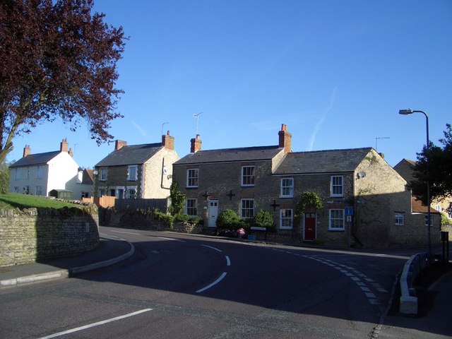
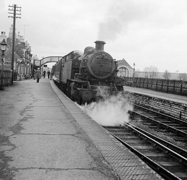
Barslay Spinney Images

Images are sourced within 2km of 52.18868/-0.6855126 or Grid Reference SP8955. Thanks to Geograph Open Source API. All images are credited.

A509 towards Wellingborough
A509 nearing roundabout with A428 Looking north.
A509 nearing roundabout with A428
Looking north.
The A509. Warrington
Small bridge on the lane to Abbey Farm
Outbuilding by the medieval fish ponds
Three Shires Way by Lavendon Grange
Olney Hyde Taken from the footpath running north to the hamlet to join the Milton Keynes Boundary Walk.
Olney Hyde
Taken from the footpath running north to the hamlet to join the Milton Keynes Boundary Walk.
View from Milton Keynes Boundary Walk View west. Pastures Farm can be seen in the misty distance - a white blob above the end of the hedge.
View from Milton Keynes Boundary Walk
View west. Pastures Farm can be seen in the misty distance - a white blob above the end of the hedge.
Warrington Lodge The Lodge is to the right of the picture. Assorted vehicles and a barn compose most of the rest.
Warrington Lodge
The Lodge is to the right of the picture. Assorted vehicles and a barn compose most of the rest.
New Pastures Farm From a footpath just west of the house.
New Pastures Farm
From a footpath just west of the house.
A428 Looking north-west.
A428
Looking north-west.
Nuniron Spinney The spinney is 'L' shaped.
Nuniron Spinney
The spinney is 'L' shaped.
Home Farm From the lane to the south of the farm house.
Home Farm
From the lane to the south of the farm house.
The Lodge Farm in Easton Maudit Parish This view of The Lodge Farm is looking westwards along its own entrance trackway that connects with the A509 Bozeat/Olney road. The Milton Keynes Boundary Walk intersects the track at this camera viewpoint.
The Lodge Farm in Easton Maudit Parish
This view of The Lodge Farm is looking westwards along its own entrance trackway that connects with the A509 Bozeat/Olney road. The Milton Keynes Boundary Walk intersects the track at this camera viewpoint.
Horse Chestnut tree in wood at Old Pastures The tree is at the junction of six rides through the wood. far right of the photo is a small observation tower which has views down all the rides. The woodland is mixed with a variety of types of tree.
Horse Chestnut tree in wood at Old Pastures
The tree is at the junction of six rides through the wood. far right of the photo is a small observation tower which has views down all the rides. The woodland is mixed with a variety of types of tree.
"Welcome to Northamptonshire" notice on A428 at county boundary On the A428 entering Northamptonshire from Buckinghamshire - there is a point a few yards north with a boundary to Bedfordshire also. Another notice on the A428 a little into Northamptonshire says it is a Red Route, one designated when there have been four or more serious accidents on a road over three years.
"Welcome to Northamptonshire" notice on A428 at county boundary
On the A428 entering Northamptonshire from Buckinghamshire - there is a point a few yards north with a boundary to Bedfordshire also. Another notice on the A428 a little into Northamptonshire says it is a Red Route, one designated when there have been four or more serious accidents on a road over three years.
Tower with views down six rides, Old Pastures wood Six rides through the wood converge here and the tower in the central clearing gives views for observation or shooting. It is also seen in <a href="https://www.geograph.org.uk/photo/525109">SP8856 : Horse Chestnut tree in wood at Old Pastures</a>.
Tower with views down six rides, Old Pastures wood
Six rides through the wood converge here and the tower in the central clearing gives views for observation or shooting. It is also seen in SP8856 : Horse Chestnut tree in wood at Old Pastures.
Footpath to Warrington House on the road to Warrington House Farm
Show me another place!

Barslay Spinney is located at Grid Ref: SP8955 (Lat: 52.18868, Lng: -0.6855126)

Unitary Authority: Milton Keynes

Police Authority: Thames Valley

What 3 Words

///clutter.keys.paler. Near Warrington, Buckinghamshire

Related Wikis

Warrington, Buckinghamshire

Warrington is a hamlet and civil parish in the unitary authority area of the City of Milton Keynes, Buckinghamshire, England, near Olney and on either...

Lavendon Abbey

Lavendon Abbey was a Premonstratensian abbey near Lavendon in Buckinghamshire, England.The abbey was established by John de Bidun between 1154 and 1158...

A509 road

The A509 is a short A-class road (around 30 miles (48 km) long) for north–south journeys in south central England, forming the route from Kettering in...

Lavendon Castle

Lavendon Castle stood to the north of the village of Lavendon, Buckinghamshire, England. A motte or ringwork and bailey were mentioned in a pipe roll of...

Lavendon

Lavendon is a village and civil parish in the unitary authority area of the City of Milton Keynes, Buckinghamshire, England. It is the northernmost village...

Olney railway station (England)

Olney was a railway station on the former Bedford to Northampton Line and Stratford-upon-Avon and Midland Junction Railway which served the town of Olney...

Easton Maudit

Easton Maudit is a small village and civil parish in rural Northamptonshire. It takes its name from the Maudit (or Mauduit) family who purchased the estate...
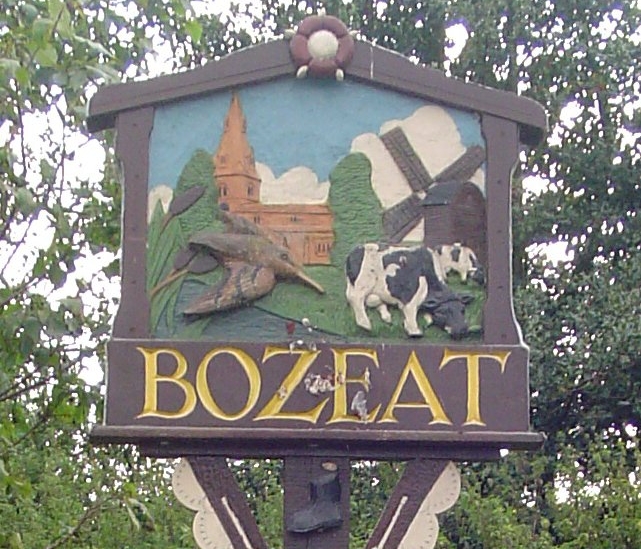
Bozeat

Bozeat locally is a village and civil parish in the postal district of Wellingborough, North Northamptonshire, England, about 6 miles (10 km) south of...

Nearby Amenities

Located within 500m of 52.18868,-0.6855126
Power: tower
Lat/Long: 52.1901146/-0.682332
Power: tower
Lat/Long: 52.1873258/-0.6797249
Power: tower
Lat/Long: 52.1930151/-0.6849713
Compressed Air
Air and water
Access: customers
Charge: 0.50 GBP
Covered: no
Fee: yes
Lit: no
Payment Cash: yes
Lat/Long: 52.1844924/-0.6863869
The data included in this document is from www.openstreetmap.org. The data is made available under ODbL.

Have you been to Barslay Spinney?

Leave your review of Barslay Spinney below (or comments, questions and feedback).