Beck Clump

Wood, Forest in Yorkshire

England

Beck Clump

Stubble field near South Newbald
Stubble field near South Newbald Credit: JThomas

Beck Clump, Yorkshire, also known as Wood or Forest, is a charming village located in the heart of Yorkshire, England. Nestled amidst rolling hills and lush greenery, this picturesque village offers a peaceful and idyllic setting for its residents and visitors alike.

The village gets its name from the beck, or stream, that runs through it, adding to its natural beauty. The beck serves as a source of water for the village and is a popular spot for leisurely walks and picnics.

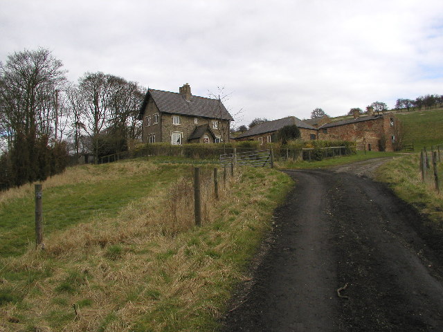
Beck Clump is known for its extensive woodland areas, which are a haven for nature enthusiasts and wildlife lovers. The forest is home to a diverse range of flora and fauna, including ancient trees, wildflowers, and various species of birds and animals. It provides a tranquil environment for hiking, cycling, and exploring the great outdoors.

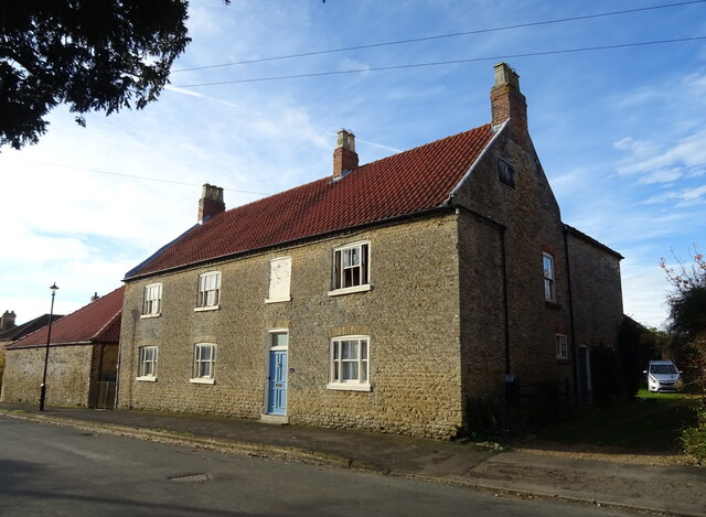
The village itself exudes a quaint and traditional charm, with a collection of historic cottages, a village green, and a charming local pub. The community is close-knit and welcoming, with residents passionate about preserving the village's heritage and natural surroundings.

In terms of amenities, Beck Clump boasts a small but well-stocked grocery store, a post office, and a primary school, ensuring that residents have easy access to everyday necessities. For more extensive shopping and entertainment options, nearby towns and cities are easily accessible by car or public transportation.

Overall, Beck Clump, Yorkshire (Wood, Forest) offers a peaceful retreat from the hustle and bustle of city life, providing a tranquil haven for nature lovers and those seeking a slower pace of living.

If you have any feedback on the listing, please let us know in the comments section below.

Beck Clump Images

Images are sourced within 2km of 53.794169/-0.63689157 or Grid Reference SE8933. Thanks to Geograph Open Source API. All images are credited.

Stubble field near South Newbald
Minor road from South Newbald towards Hotham
Wooden mile plaque This plaque is on the corner of Church Lane and Nordham at an entrance to Hotham Hall near North Cave.  Originally there was a plaque at each end of the drive. Col. Clitherow lived at Hotham Hall from 1880-1963. This plaque has been repainted since 2007.   A similar metal plaque is at Shooter's Hill in London with the distance to Ypres as 130 miles.
Wooden mile plaque
This plaque is on the corner of Church Lane and Nordham at an entrance to Hotham Hall near North Cave. Originally there was a plaque at each end of the drive. Col. Clitherow lived at Hotham Hall from 1880-1963. This plaque has been repainted since 2007. A similar metal plaque is at Shooter's Hill in London with the distance to Ypres as 130 miles.
Old milestone A newer photograph of the milestone on the narrow pavement on Westgate in North Cave.  This was on the route of the 24 mile long Beverley, Skidby and Hessle turnpike, 1769 - 1878.  Originally only the metal plaque would have been painted but the paint on the stone will preserve it from splashes from passing vehicles.   It is Grade II listed 1346704.
Old milestone
A newer photograph of the milestone on the narrow pavement on Westgate in North Cave. This was on the route of the 24 mile long Beverley, Skidby and Hessle turnpike, 1769 - 1878. Originally only the metal plaque would have been painted but the paint on the stone will preserve it from splashes from passing vehicles. It is Grade II listed 1346704.
Elizabeth II postbox on Park Street, Hotham Postbox No. YO43 306.

See <a href="https://www.geograph.org.uk/photo/7023829">SE8934 : House on Park Street, Hotham</a> and <a href="https://www.geograph.org.uk/photo/7023830">SE8934 : Outbuilding on Park Street, Hotham</a> for context.
Elizabeth II postbox on Park Street, Hotham
House on Park Street, Hotham Showing position of Postbox No. YO43 306.

See <a href="https://www.geograph.org.uk/photo/7023826">SE8934 : Elizabeth II postbox on Park Street, Hotham</a> for postbox.
House on Park Street, Hotham
Showing position of Postbox No. YO43 306. See SE8934 : Elizabeth II postbox on Park Street, Hotham for postbox.
Outbuilding on Park Street, Hotham Showing position of Postbox No. YO43 306.

See <a href="https://www.geograph.org.uk/photo/7023826">SE8934 : Elizabeth II postbox on Park Street, Hotham</a> for postbox.
Outbuilding on Park Street, Hotham
Showing position of Postbox No. YO43 306. See SE8934 : Elizabeth II postbox on Park Street, Hotham for postbox.
Elizabeth II postbox on Main Street, Hotham Postbox No. YO43 469.

See <a href="https://www.geograph.org.uk/photo/7024178">SE8934 : Houses on Main Street, Hotham</a> and <a href="https://www.geograph.org.uk/photo/7024179">SE8934 : Main Street, Hotham</a> for context.
Elizabeth II postbox on Main Street, Hotham
Postbox No. YO43 469. See SE8934 : Houses on Main Street, Hotham and SE8934 : Main Street, Hotham for context.
Houses on Main Street, Hotham Showing position of Postbox No. YO43 469.

See <a href="https://www.geograph.org.uk/photo/7024177">SE8934 : Elizabeth II postbox on Main Street, Hotham</a> for postbox.
Houses on Main Street, Hotham
Showing position of Postbox No. YO43 469. See SE8934 : Elizabeth II postbox on Main Street, Hotham for postbox.
Main Street, Hotham Showing position of Postbox No. YO43 469.

See <a href="https://www.geograph.org.uk/photo/7024177">SE8934 : Elizabeth II postbox on Main Street, Hotham</a> for postbox.
Main Street, Hotham
Showing position of Postbox No. YO43 469. See SE8934 : Elizabeth II postbox on Main Street, Hotham for postbox.
Ploughed field towards the Hotham Beck
Minor road towards Hotham
Farm buildings, Hill House Farm
Entering Hotham On Radcroft Lane.
Entering Hotham
On Radcroft Lane.
St Oswald's Church, Hotham
Lych Gate, St Oswald's Church, Hotham A lych gate was traditionally a place where corpse bearers carried the body of a deceased person and laid it on a communal bier.
Lych Gate, St Oswald's Church, Hotham
A lych gate was traditionally a place where corpse bearers carried the body of a deceased person and laid it on a communal bier.
House on Main Street, Hotham
Show me another place!

Beck Clump is located at Grid Ref: SE8933 (Lat: 53.794169, Lng: -0.63689157)

Division: East Riding

Unitary Authority: East Riding of Yorkshire

Police Authority: Humberside

What 3 Words

///clashing.ruler.tearfully. Near Hotham, East Yorkshire

Related Wikis

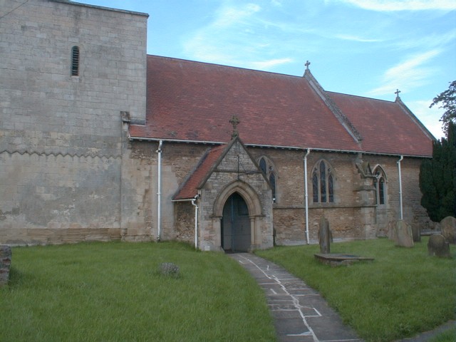
Hotham, East Riding of Yorkshire

Hotham is a small village and civil parish in the East Riding of Yorkshire, England. It is situated approximately 16 miles (26 km) west of Hull, 21 miles...
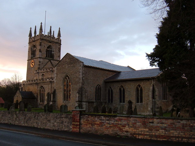
North Cave

North Cave is a village and civil parish in the East Riding of Yorkshire, England. It is situated 15 miles (24 km) to the west of Hull city centre on the...

North Cave Wetlands

North Cave Wetlands is a nature reserve at North Cave, East Riding of Yorkshire, England, managed by the Yorkshire Wildlife Trust.The reserve based at...

North Cave railway station

North Cave railway station was a station on the Hull and Barnsley Railway, and served the village of North Cave in the East Riding of Yorkshire, England...

South Cave railway station

South Cave railway station was a station on the Hull and Barnsley Railway, and served the village of South Cave in the East Riding of Yorkshire, England...

Drewton

Drewton is a hamlet in the East Riding of Yorkshire, England. It is situated on the A1034 road, 6 miles (10 km) south-east from Market Weighton and 11...

South Newbald

South Newbald is a hamlet and former civil parish, now in the parish of Newbald, in the East Riding of Yorkshire, England. It is situated approximately...

Everthorpe

Everthorpe is a hamlet in the East Riding of Yorkshire, England. It is situated approximately 11 miles (18 km) west of Hull city centre and 10 miles...

Nearby Amenities

Located within 500m of 53.794169,-0.63689157
Hotham
Is In: East Riding of Yorkshire, England, UK
Is In County: East Riding of Yorkshire
Place: village
Lat/Long: 53.7963086/-0.6434871
Post Box
Brand: Royal Mail
Brand Wikidata: Q638098
Brand Wikipedia: en:Royal Mail
Collection Times: Mo-Fr 16:00; Sa 11:30
Image: https://www.geograph.org.uk/photo/7023826
Operator: Royal Mail
Operator Wikidata: Q638098
Post Box Mounting: metal_post
Post Box Type: lamp
Ref: YO43 306
Royal Cypher: EIIR
Royal Cypher Wikidata: Q33102113
Lat/Long: 53.7951224/-0.6420813
The data included in this document is from www.openstreetmap.org. The data is made available under ODbL.

Have you been to Beck Clump?

Leave your review of Beck Clump below (or comments, questions and feedback).