Harlaxton Wood
Wood, Forest in Lincolnshire South Kesteven
England
Harlaxton Wood
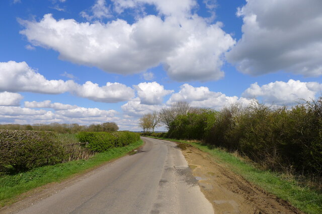
Harlaxton Wood is a picturesque woodland located in Lincolnshire, England. Covering an area of approximately 50 hectares, the wood is a haven of tranquility and natural beauty. It is situated near the village of Harlaxton, just a few miles south of Grantham.
The wood is predominantly made up of broadleaf trees, including oak, ash, beech, and birch, which provide a diverse and vibrant canopy throughout the year. The forest floor is carpeted with a rich array of wildflowers, such as bluebells, wood anemones, and primroses, creating a stunning display in the spring.
Harlaxton Wood is home to a variety of wildlife, making it a popular destination for nature enthusiasts and birdwatchers. Bird species such as woodpeckers, nuthatches, and tawny owls can be spotted among the treetops, while small mammals like badgers, foxes, and squirrels inhabit the undergrowth.
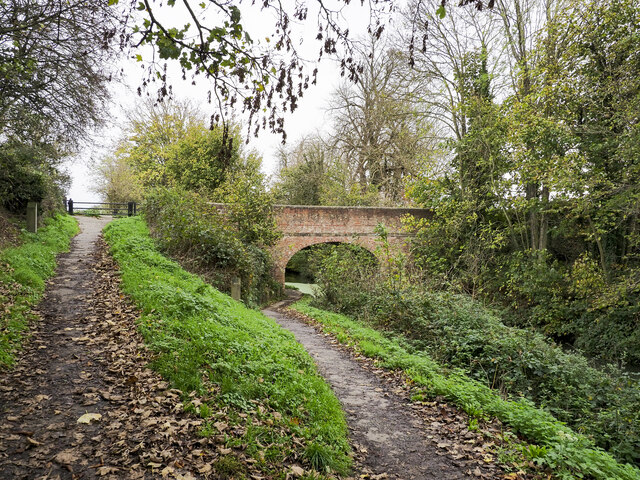
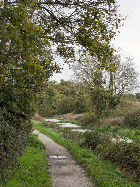
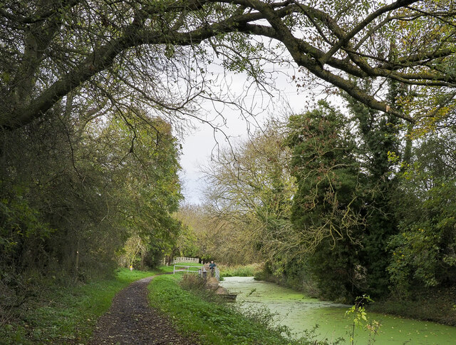
The wood offers several walking trails, allowing visitors to explore its hidden corners and discover its natural wonders. These trails are well-maintained and signposted, making it easy for visitors to navigate the wood and enjoy its beauty at their own pace.
Managed by the Woodland Trust, Harlaxton Wood is carefully preserved and protected to ensure its longevity and the continued existence of its diverse ecosystem. The trust also organizes various events and activities throughout the year, such as guided walks and educational programs, to engage visitors and promote awareness about the importance of woodland conservation.
Overall, Harlaxton Wood is a true gem in the Lincolnshire countryside, offering a peaceful retreat and a chance to connect with nature in all its glory.
If you have any feedback on the listing, please let us know in the comments section below.
Harlaxton Wood Images
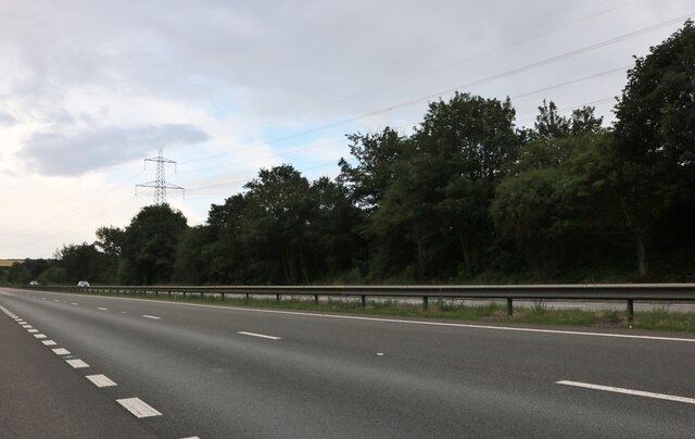
Images are sourced within 2km of 52.885447/-0.66581649 or Grid Reference SK8932. Thanks to Geograph Open Source API. All images are credited.


Harlaxton Wood is located at Grid Ref: SK8932 (Lat: 52.885447, Lng: -0.66581649)
Administrative County: Lincolnshire
District: South Kesteven
Police Authority: Lincolnshire
What 3 Words
///glare.paused.remind. Near Grantham, Lincolnshire
Nearby Locations
Related Wikis

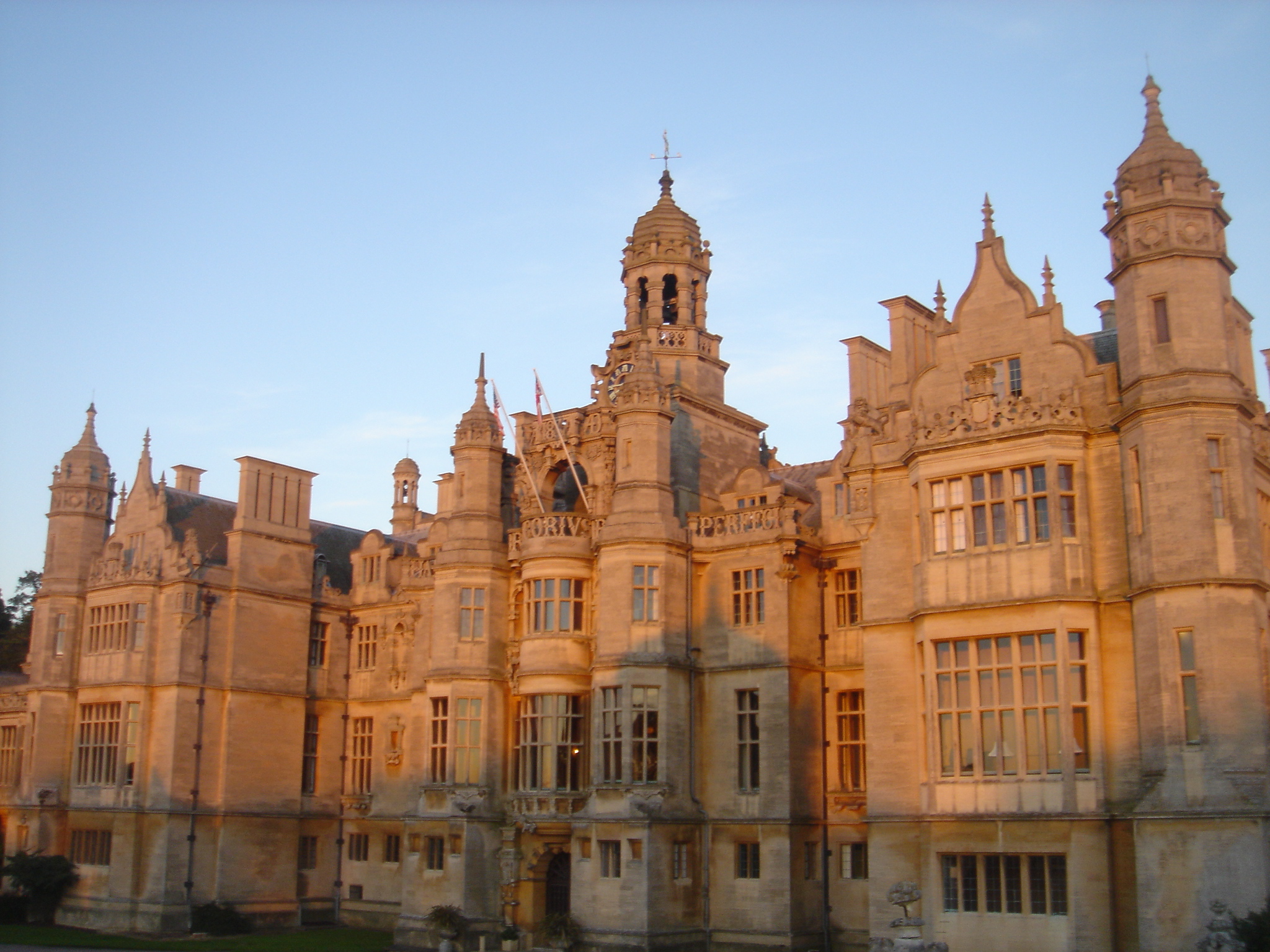
Harlaxton Manor
Harlaxton Manor is a Victorian country house in Harlaxton, Lincolnshire, England. It was built for Gregory Gregory, a local squire and businessman. Gregory...
RAF Harlaxton
Royal Air Force Harlaxton or more simply RAF Harlaxton is a former Royal Air Force station near the village of Harlaxton, 3 mi (4.8 km) south west of Grantham...

Gorse Lane
Gorse Lane is a cricket ground in Grantham, Lincolnshire. It was constructed from scratch when the London Road ground was sold to Safeway. Opened for junior...

Harlaxton
Harlaxton is a village and civil parish in the South Kesteven district of Lincolnshire, England. It lies on the edge of the Vale of Belvoir and just off...
Walton Academy, Grantham
Walton Academy, formerly Walton Girls' High School is a co-ed secondary school, in Grantham, Lincolnshire, England. It is situated in the south-west of...

St Mary and St Peter's Church, Harlaxton
St Mary and St Peter's Church is a Grade I listed Church of England parish church dedicated to Saint Mary and Saint Peter in Harlaxton, Lincolnshire, England...

Stroxton
Stroxton () is a village in the South Kesteven district of Lincolnshire, England. It is situated 3 miles (4.8 km) south from the centre of Grantham and...
West Kesteven Rural District
West Kesteven was a rural district in Lincolnshire, Parts of Kesteven, England from 1931 to 1974. It was formed under a County Review Order, by the merger...
Nearby Amenities
Located within 500m of 52.885447,-0.66581649Have you been to Harlaxton Wood?
Leave your review of Harlaxton Wood below (or comments, questions and feedback).