First Sand Plantation
Wood, Forest in Lincolnshire South Kesteven
England
First Sand Plantation
First Sand Plantation is a vast woodland area located in Lincolnshire, England. Covering a total area of approximately 500 acres, it is situated near the town of Wood and is part of the larger Forest of Lincolnshire. The plantation is known for its stunning natural beauty and is a popular destination for outdoor enthusiasts and nature lovers.
The woodland is primarily composed of a variety of sand-loving tree species, including pine, birch, and oak. These trees thrive in the sandy soil conditions found in the area, creating a unique and diverse ecosystem. The plantation is also home to a wide range of wildlife, including deer, rabbits, and a variety of bird species.
First Sand Plantation offers a range of recreational activities for visitors to enjoy. There are numerous walking trails and paths that wind through the woodland, providing opportunities for leisurely strolls or more challenging hikes. The plantation is also a popular spot for birdwatching, with several designated viewing areas and bird hides available for visitors to observe the local avian population.
In addition to its natural beauty, First Sand Plantation also has historical significance. The area has been used for timber production for centuries, and remnants of old sawmills and logging operations can still be found throughout the woodland. This rich history adds an extra layer of interest and intrigue for visitors exploring the plantation.
Overall, First Sand Plantation is a stunning and diverse woodland area that offers a range of recreational activities and opportunities for nature enthusiasts. Its combination of natural beauty, wildlife, and historical significance makes it a must-visit destination in Lincolnshire.
If you have any feedback on the listing, please let us know in the comments section below.
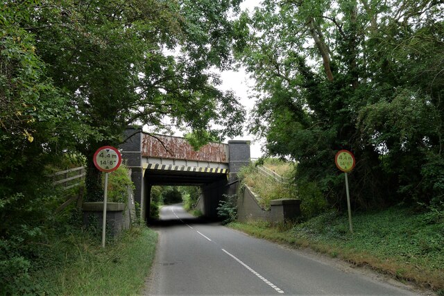
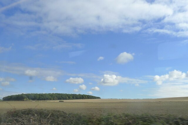
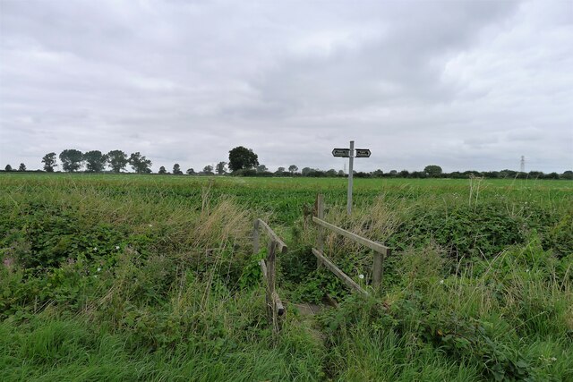
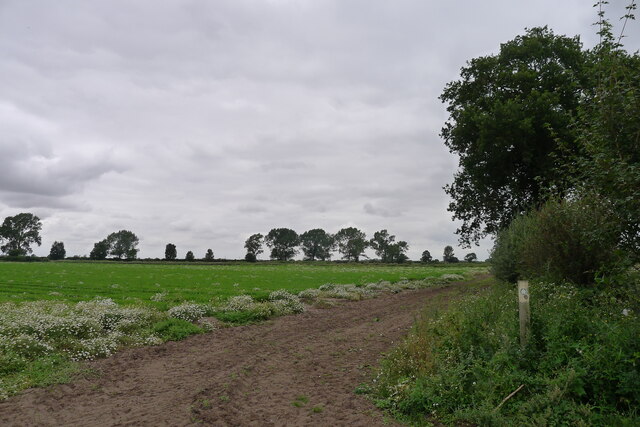
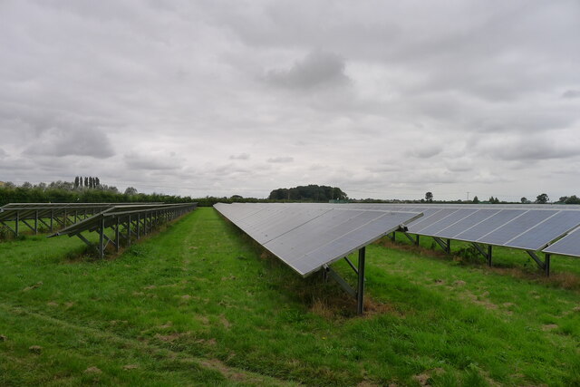
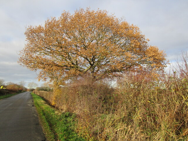
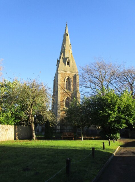
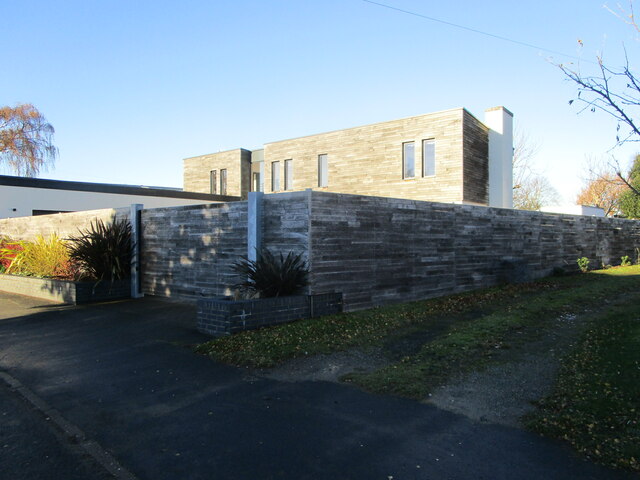
First Sand Plantation Images
Images are sourced within 2km of 52.968182/-0.66347896 or Grid Reference SK8942. Thanks to Geograph Open Source API. All images are credited.


First Sand Plantation is located at Grid Ref: SK8942 (Lat: 52.968182, Lng: -0.66347896)
Administrative County: Lincolnshire
District: South Kesteven
Police Authority: Lincolnshire
What 3 Words
///prospers.club.hatter. Near Great Gonerby, Lincolnshire
Nearby Locations
Related Wikis

Barkston railway station
Barkston railway station is a former station serving the village of Barkston, Lincolnshire. It was on the Great Northern Railway main line near to the...

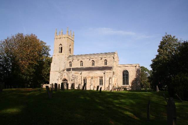
Marston, Lincolnshire
Marston is a village and civil parish in the South Kesteven district of Lincolnshire, England. The population of the civil parish at the 2011 census was...
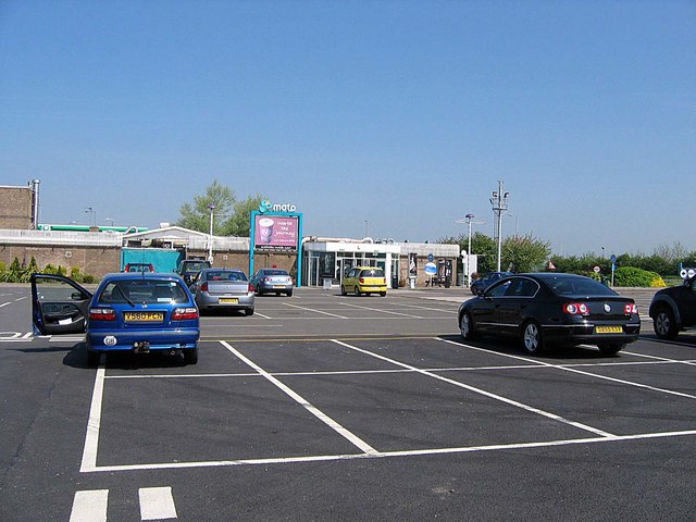
Grantham North services
Grantham North Services is a service area operated by Moto located on the A1 at Gonerby Moor Roundabout, four miles north of Grantham in Lincolnshire,...
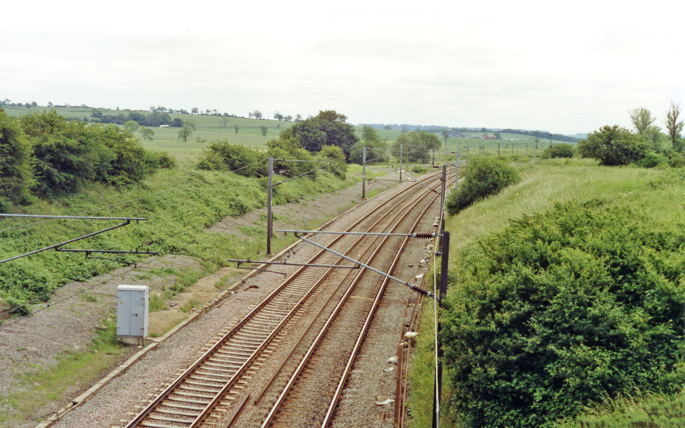
Hougham railway station
Hougham railway station is a former railway station in Hougham, Lincolnshire. The station was about a mile east of the village of Hougham itself and was...
Hougham, Lincolnshire
Hougham () is a village and civil parish in the South Kesteven district of Lincolnshire, England, 6 miles (10 km) north from Grantham. The village of Marston...

Syston, Lincolnshire
Syston is a village and civil parish in the South Kesteven district of Lincolnshire, England. The population of the civil parish was 162 at the 2011 census...

Barkston
Barkston is an English village and civil parish in the South Kesteven district of Lincolnshire. The parish population was 497 at the 2001 census and 493...

Oak Bank School
Oak Bank School is a co-educational special school with academy status located in Leighton Buzzard, Bedfordshire, England. The school accepts pupils from...
Nearby Amenities
Located within 500m of 52.968182,-0.66347896Have you been to First Sand Plantation?
Leave your review of First Sand Plantation below (or comments, questions and feedback).