Broom Covert

Wood, Forest in Berkshire

England

Broom Covert

Swinley Road / Bracknell Road roundabout The lane shown is the A322 (Bracknell Road), which runs around the roundabout to the right: the other lane is behind the signs. The cars are travelling away from the A332 (Swinley Road), which heads north away from the roundabout towards Ascot. This photograph was taken from the small concrete drive at the Dukes Hill Booster (a pumping station).
Swinley Road / Bracknell Road roundabout Credit: Oscar Taylor

Broom Covert, located in Berkshire, England, is a dense woodland area known for its natural beauty and ecological significance. Spanning approximately 100 acres, this ancient woodland is situated in the heart of the county, making it easily accessible for locals and visitors alike.

Broom Covert is predominantly made up of mixed deciduous and coniferous trees, creating a diverse and vibrant habitat for a wide range of plant and animal species. The woodland is home to several native tree species, including oak, beech, and birch, which provide shelter and food for a variety of woodland creatures such as deer, foxes, and birds.

The forest floor of Broom Covert is covered in a thick carpet of leaf litter, which is home to a myriad of small mammals, insects, and fungi. The woodland boasts an impressive array of wildflowers that bloom throughout the seasons, including bluebells, primroses, and wood anemones, adding to the area's natural charm and beauty.

Broom Covert is not only a haven for wildlife but also a popular recreational spot for outdoor enthusiasts. The wood offers a network of well-maintained footpaths, allowing visitors to explore the area and immerse themselves in the peaceful and tranquil atmosphere. Additionally, the woodland provides opportunities for activities such as birdwatching, photography, and nature study.

With its rich biodiversity and scenic surroundings, Broom Covert offers a delightful escape from the hustle and bustle of everyday life. Whether one seeks solitude, nature appreciation, or outdoor adventure, this woodland in Berkshire is a must-visit destination for nature lovers of all ages.

If you have any feedback on the listing, please let us know in the comments section below.
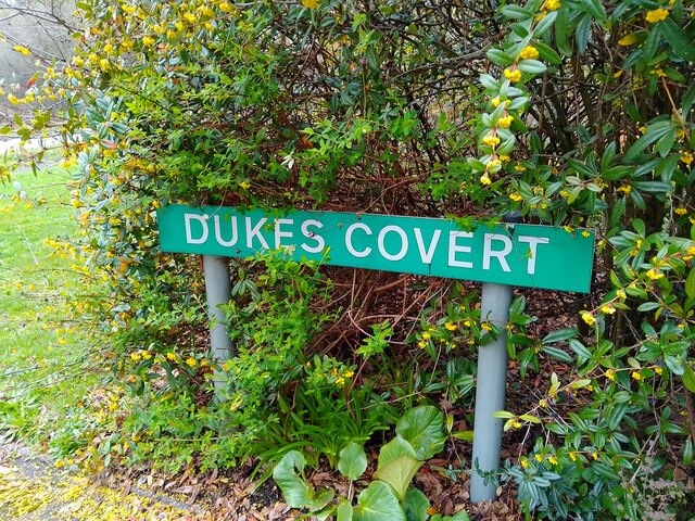
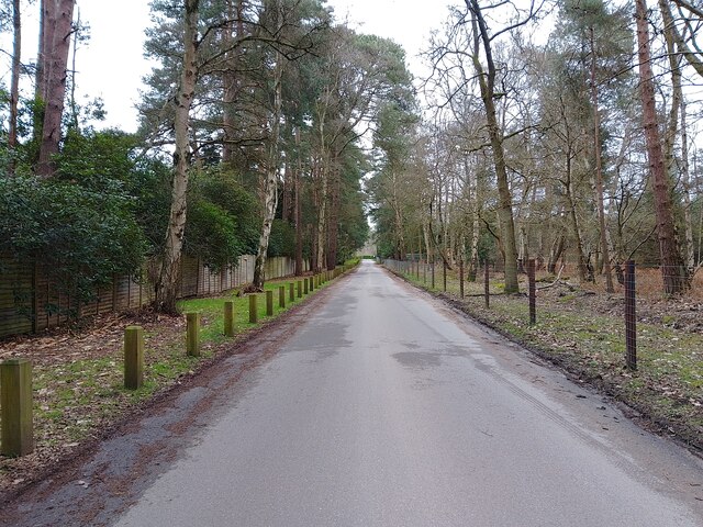
Broom Covert Images

Images are sourced within 2km of 51.379435/-0.71286005 or Grid Reference SU8965. Thanks to Geograph Open Source API. All images are credited.

Swinley Road / Bracknell Road roundabout The lane shown is the A322 (Bracknell Road), which runs around the roundabout to the right: the other lane is behind the signs. The cars are travelling away from the A332 (Swinley Road), which heads north away from the roundabout towards Ascot. This photograph was taken from the small concrete drive at the Dukes Hill Booster (a pumping station).
Swinley Road / Bracknell Road roundabout
The lane shown is the A322 (Bracknell Road), which runs around the roundabout to the right: the other lane is behind the signs. The cars are travelling away from the A332 (Swinley Road), which heads north away from the roundabout towards Ascot. This photograph was taken from the small concrete drive at the Dukes Hill Booster (a pumping station).
Dukes Hill Booster A small pumping station beside the roundabout at Swinley Road and Bracknell Road.
Dukes Hill Booster
A small pumping station beside the roundabout at Swinley Road and Bracknell Road.
Swinley Road / Bracknell Road roundabout The lane shown is the A322 (Bracknell Road), which runs around the roundabout to the right. Further in the distance is the A332 (Swinley Road), which heads north away from the roundabout towards Ascot. This photograph was taken from the small concrete drive at the Dukes Hill Booster (a pumping station).
Swinley Road / Bracknell Road roundabout
The lane shown is the A322 (Bracknell Road), which runs around the roundabout to the right. Further in the distance is the A332 (Swinley Road), which heads north away from the roundabout towards Ascot. This photograph was taken from the small concrete drive at the Dukes Hill Booster (a pumping station).
Dukes Covert A cul-de-sac off the A322 (Bracknell Road) on the outskirts of Bagshot. The houses are all very large, with big plots and names rather than numbers.
Dukes Covert
A cul-de-sac off the A322 (Bracknell Road) on the outskirts of Bagshot. The houses are all very large, with big plots and names rather than numbers.
Dukes Covert towards A322 A cul-de-sac off the A322 (Bracknell Road) on the outskirts of Bagshot. The houses are all very large, with big plots and names rather than numbers.
Dukes Covert towards A322
A cul-de-sac off the A322 (Bracknell Road) on the outskirts of Bagshot. The houses are all very large, with big plots and names rather than numbers.
Bracknell Road (A322) Bracknell Road (the A322) from the entrance to Dukes Covert. The path beside the road quickly narrows away from the cul-de-sac.
Bracknell Road (A322)
Bracknell Road (the A322) from the entrance to Dukes Covert. The path beside the road quickly narrows away from the cul-de-sac.
Access lane on A322 (Bracknell Road) A u-turn point and access to Dukes Covert off Bracknell Road (the A322).
Access lane on A322 (Bracknell Road)
A u-turn point and access to Dukes Covert off Bracknell Road (the A322).
Dukes Covert sign A road sign for Dukes Covert off Bracknell Road (the A322).
Dukes Covert sign
A road sign for Dukes Covert off Bracknell Road (the A322).
Dukes Covert A cul-de-sac off the A322 (Bracknell Road) on the outskirts of Bagshot. The houses are all very large, with big plots and names rather than numbers.
Dukes Covert
A cul-de-sac off the A322 (Bracknell Road) on the outskirts of Bagshot. The houses are all very large, with big plots and names rather than numbers.
Berkshire Golf Club exit The exit from the Berkshire Golf Club on the A332 (Swinley Road). There is a postbox which can't be used much.
Berkshire Golf Club exit
The exit from the Berkshire Golf Club on the A332 (Swinley Road). There is a postbox which can't be used much.
Swinley Road (A332) Looking north on Swinley Road (the A332) towards Ascot, from the exit from the Berkshire Golf Club.
Swinley Road (A332)
Looking north on Swinley Road (the A332) towards Ascot, from the exit from the Berkshire Golf Club.
Buttersteep Rise junction The junction to Swinley Road (the A332) at the end of Buttersteep Rise, a cul-de-sac leading to Buttersteep House. To the left are ancillary buildings of the Berkshire Golf Club.
Buttersteep Rise junction
The junction to Swinley Road (the A332) at the end of Buttersteep Rise, a cul-de-sac leading to Buttersteep House. To the left are ancillary buildings of the Berkshire Golf Club.
Buttersteep Rise A cul-de-sac off Swinley Road (the A332), leading to Buttersteep House.
Buttersteep Rise
A cul-de-sac off Swinley Road (the A332), leading to Buttersteep House.
Buttersteep Rise A cul-de-sac off Swinley Road (the A332), leading to Buttersteep House.
Buttersteep Rise
A cul-de-sac off Swinley Road (the A332), leading to Buttersteep House.
Looking south-east in Dukes Covert
Navigating northwards up the Basher (30) Looking North-West on the A322
Navigating northwards up the Basher (30)
Looking North-West on the A322
Navigating northwards up the Basher (31) Looking south-southeast along the A332
Navigating northwards up the Basher (31)
Looking south-southeast along the A332
Navigating northwards up the Basher (32) Looking north-northwest on the A332
This month has been one of two halves: in the UK, wet and mild <span class="nowrap"><a title="https://www.metoffice.gov.uk/binaries/content/assets/metofficegovuk/pdf/weather/learn-about/uk-past-events/summaries/mwr_2023_07_for_print.pdf" rel="nofollow ugc noopener" href="https://www.metoffice.gov.uk/binaries/content/assets/metofficegovuk/pdf/weather/learn-about/uk-past-events/summaries/mwr_2023_07_for_print.pdf">Link</a><img style="margin-left:2px;" alt="External link" title="External link - shift click to open in new window" src="https://s1.geograph.org.uk/img/external.png" width="10" height="10"/></span> in Southern Europe, schorching with many, many forest fires. Globally, it was the hottest month ever <span class="nowrap"><a title="https://www.sciencenews.org/article/july-2023-just-unfortunate-world-record-hot" rel="nofollow ugc noopener" href="https://www.sciencenews.org/article/july-2023-just-unfortunate-world-record-hot">Link</a><img style="margin-left:2px;" alt="External link" title="External link - shift click to open in new window" src="https://s1.geograph.org.uk/img/external.png" width="10" height="10"/></span>
Navigating northwards up the Basher (32)
Looking north-northwest on the A332 This month has been one of two halves: in the UK, wet and mild LinkExternal link in Southern Europe, schorching with many, many forest fires. Globally, it was the hottest month ever LinkExternal link
Show me another place!

Broom Covert is located at Grid Ref: SU8965 (Lat: 51.379435, Lng: -0.71286005)

Unitary Authority: Bracknell Forest

Police Authority: Thames Valley

What 3 Words

///gross.earth.stay. Near Bagshot, Surrey

Related Wikis

Swinley Forest Golf Club

Swinley Forest Golf Club is a golf club located in Swinley Forest off Coronation Road, three miles southwest of Ascot, Berkshire, England. It was established...

Bagshot Park

Bagshot Park is a royal residence located near Bagshot, a village 11 miles (18 km) south of Windsor. It is on Bagshot Heath, a 50-square-mile (130 km2...

Swinley Forest

Swinley Forest is a large expanse of Crown Estate woodland managed by Forestry England mainly within the civil parishes of Windlesham in Surrey and Winkfield...

Swinley Park and Brick Pits

Swinley Park and Brick Pits is an 88.7-hectare (219-acre) biological Site of Special Scientific Interest east of Bracknell in Berkshire, United Kingdom...

Broadmoor to Bagshot Woods and Heaths

Broadmoor to Bagshot Woods and Heaths is a 1,696.3-hectare (4,192-acre) biological Site of Special Scientific Interest (SSSI) in Berkshire and Surrey that...

Bagshot

Bagshot is a large village in the Surrey Heath borough of Surrey, England, approximately 26 miles (42 km) southwest of central London. In the past, Bagshot...

Poors Allotment

Poors Allotment is a 76-hectare (190-acre) nature reserve north of Camberley in Surrey. It is owned by Windlesham United Charities and managed by the...

Bagshot railway station

Bagshot railway station serves the village of Bagshot, in the west of Surrey, England. The station, and all trains calling there, are operated by South...

Nearby Amenities

Located within 500m of 51.379435,-0.71286005
Parking
Lat/Long: 51.3802168/-0.7118528
Communication 2G: yes
Communication 3G: yes
Communication 4G: yes
Man Made: antenna
Operator: EE, o2, Vodafone and three
Lat/Long: 51.3786927/-0.7070134
The data included in this document is from www.openstreetmap.org. The data is made available under ODbL.

Have you been to Broom Covert?

Leave your review of Broom Covert below (or comments, questions and feedback).